
Place · 0 mi away
Moderate
This is a short-but-punchy hill walk that climbs straight from central Ballater into native oakwoods and up to a granite-capped summit with sweeping views over the village, the River Dee, and the surrounding Cairngorm hills. The circuit is a loop (with a brief spur to the top) and totals about 2.3 miles. Expect a clear, well‑trodden path with some very steep sections and a few narrow spots above steep drops, especially on the north side.
Plan on roughly 2.3 miles total for the full loop with the summit spur. Most walkers take around 1.5 hours. The grade is solidly moderate thanks to sustained, steep zigzags early on; it’s short, but it earns its views.
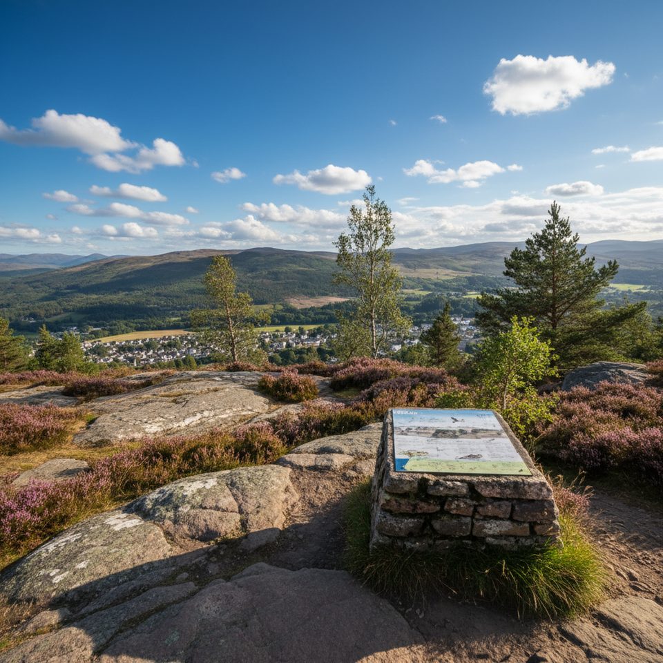
Lower down, you’ll wind through oakwoods before transitioning to birch and pine as you gain height. Views open quickly over Ballater and the Dee valley, with the iconic Lochnagar visible in clear conditions. Along the north flank, the path peers into a dramatic glacially‑carved chasm between Craigendarroch and Craig an t’Seabhaig—formed when ice exploited a fault line during the last Ice Age—adding real geological interest. At the summit, a built cairn with a metal top‑plate points out visible hilltops, and a larger cairn carries local info. Keep an eye out for red squirrels in the woods.
Don’t underestimate this one because it’s short. The ascent is steep, footing can be rooty or rocky, and the north‑side traverse has narrow sections above drops that will bother some. That said, the path is obvious and generally well‑signed. The descent toward Ballater is a highlight, with grandstand views back over the village and river.
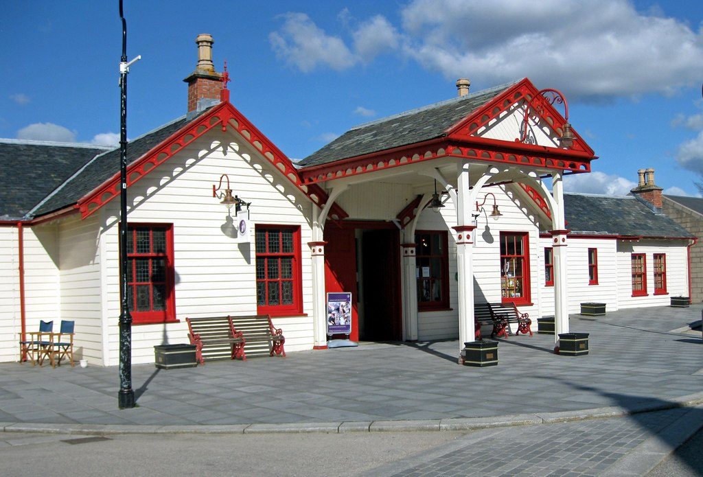
Start from the car park by the restored railway station in Ballater (next to the visitor centre); the trailhead is right there. Waymarking helps, but a map or GPS is handy for the circuit options. Dogs are welcome under the Scottish Outdoor Access Code; keep them close on the steeper and narrower stretches. Ballater has regular bus service between Braemar and Aberdeen if you’re arriving by public transport.
This hill works year‑round. Spring and summer bring lush greenery, autumn lights up the oakwoods in gold, and winter can deliver crystal‑clear vistas—though steep sections get slick or icy. Avoid immediately after heavy rain; the steep grades and stone steps can be slippery.
Wear sturdy boots, take it steady on the steep zigzags, and be extra cautious on the narrow north‑side sections above drops. This is fine for reasonably fit walkers and older kids used to steep ground; it’s not a good choice for very young children or anyone uncomfortable with exposure.
Park at the restored railway station car park in central Ballater, next to the visitor centre; the trailhead is adjacent.
Expect very steep zigzags, narrow traverses above steep drops on the north side, and slippery footing after rain or in winter conditions. Keep dogs under close control.
Place · 0 mi away
Place · 0.1 mi away
Place · 0.1 mi away

Place · 0.2 mi away
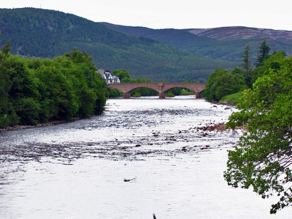
Moderate · 0 mi away
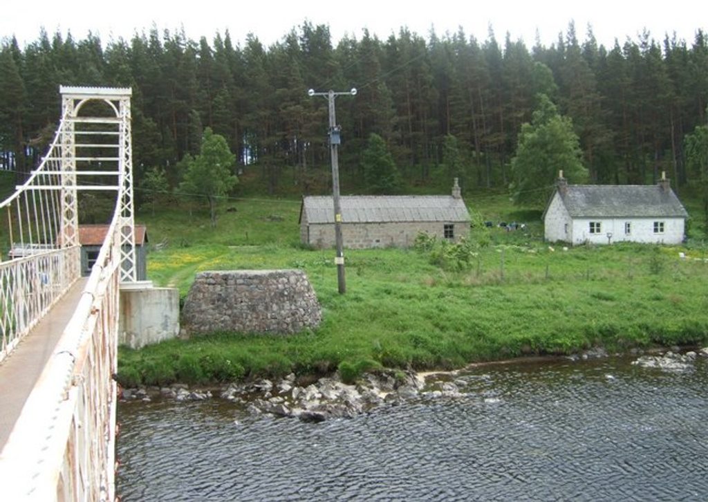
Easy · 1.6 mi away
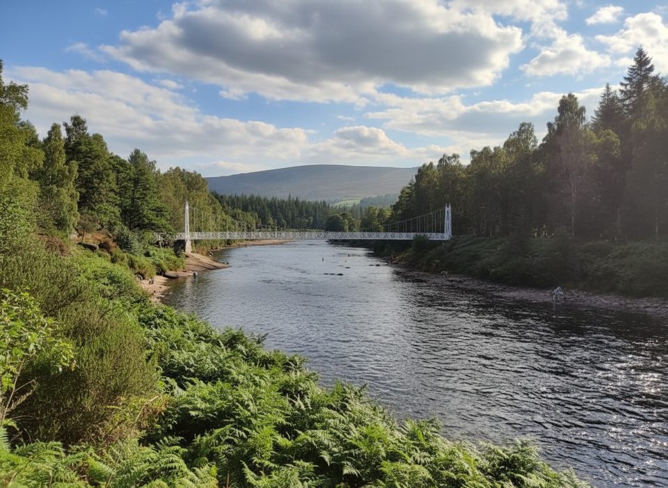
Moderate · 3.3 mi away
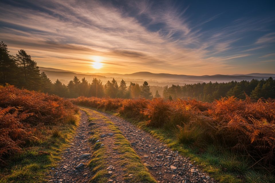
Moderate · 4.1 mi away

Parkwolf Tour Guide
