
Place · 1.6 mi away
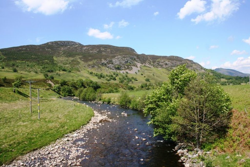
A right‑bank tributary of the Spey, the River Truim threads north from the Pass of Drumochter, past Dalwhinnie and through Glen Truim before meeting the Spey near Newtonmore. It runs beside the A9 and the Perth–Inverness railway, so it’s one of the easier Highland rivers to dip into for a quick scenic stop.
Two draws define a visit here: the churning, pocketed rapids known as the Falls of Truim, and the historic stone Wade Bridge linked to the 18th‑century military road network. Together they serve up classic Highland textures—pinewoods, rocky riverbeds, and a photogenic old bridge—without a long hike.
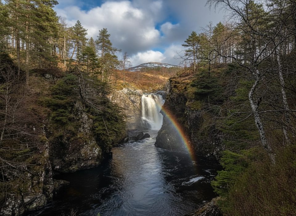
Don’t expect a single cascade: the Falls of Truim are a series of rapids carved into potholes and pools. Multiple informal viewpoints line the banks, with a path on the north side and rougher, unmarked rocks on the south. After heavy rain or snowmelt, the falls are at their most dramatic. The Wade Bridge adds a solid slice of history to the scene.
There’s a small, free car park just off the A9 about four miles south of Newtonmore; from there it’s roughly five minutes to the falls. The river corridor is otherwise light on infrastructure—no public toilets, shops, or shelters—and there’s no public transport to the immediate area, so plan to drive.
This tributary sits within the park’s rich freshwater network linking peatlands, woods and floodplains. Species associated with Cairngorms rivers include Atlantic salmon, goldeneye, and the northern damselfly; recent beaver reintroductions in the region add to the riverine complexity. As always, sightings vary by season and luck.
For spectacle, aim for periods after rain or spring snowmelt when flows are up. Weekdays and early or later in the day feel quieter given the A9 pull‑in crowd. In wet or icy weather, take extra care—some paths are rough, poorly maintained, and run close to unprotected drops.
Come self‑sufficient: sturdy footwear, layers for fast‑changing weather, water and snacks. Keep children and dogs close near the falls—slick rock and exposed edges are part of the deal. Adventure providers sometimes use the area for guided gorge scrambling, but there’s no on‑site service.
A quick, rewarding Highland stop: photogenic rapids, a storied bridge, and easy access—just don’t expect amenities.
Place · 1.6 mi away
Place · 1.9 mi away
Place · 2 mi away
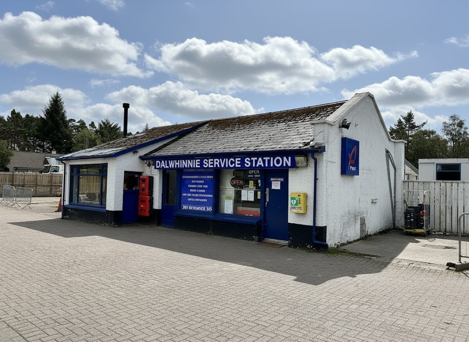
Place · 2.3 mi away
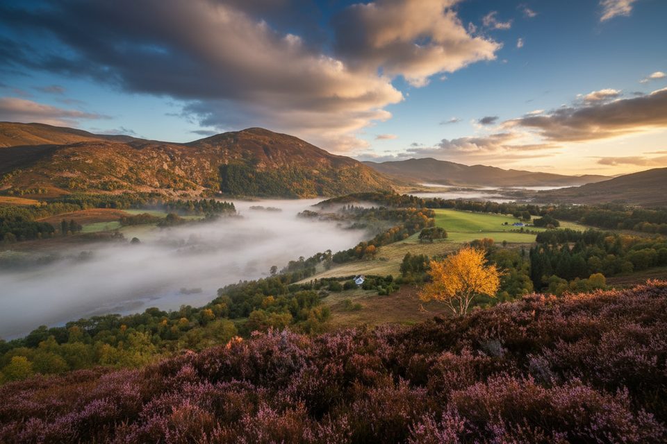
Easy · 3.5 mi away
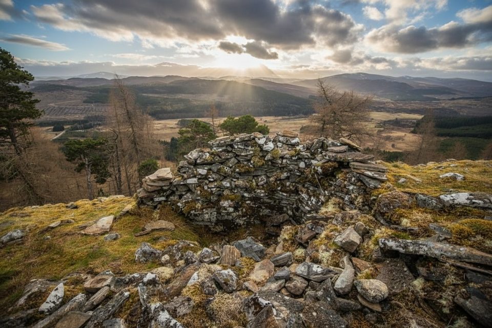
Moderate · 5 mi away
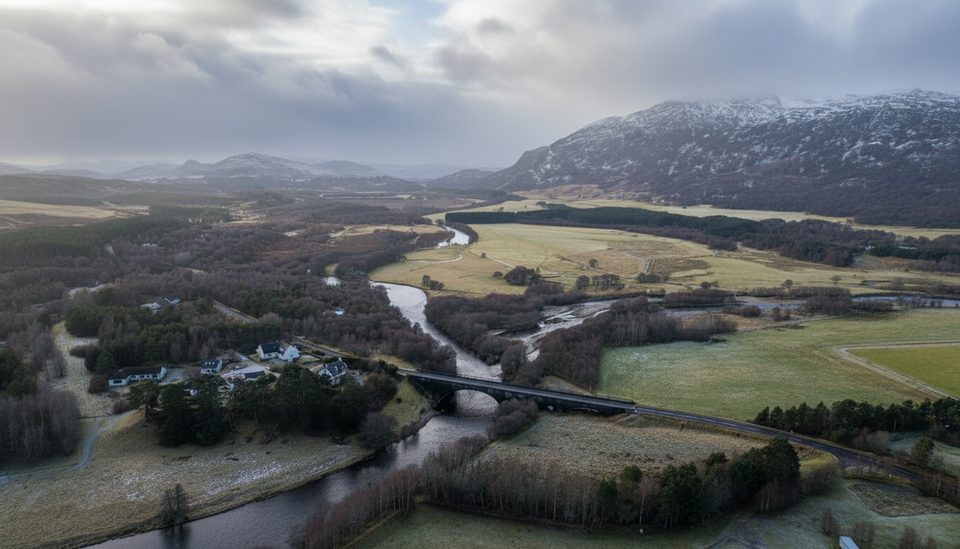
Easy · 5 mi away
Easy · 5.9 mi away

Parkwolf Tour Guide
