
Place
Challenging
A demanding Highland loop that earns every view, the Burma Road Circular climbs hard out of Aviemore before opening into big, airy panoramas across the Cairngorms. It’s a true mixed-surface circuit—tarmac connectors, rough estate track, rocky stretches, grass paths, and forest roads—best tackled by fit hikers or riders who don’t mind a sustained grind. The loop is roughly 26 miles total with about 2,123 feet of ascent. Expect exposure, solitude, and a satisfying sense of scale.
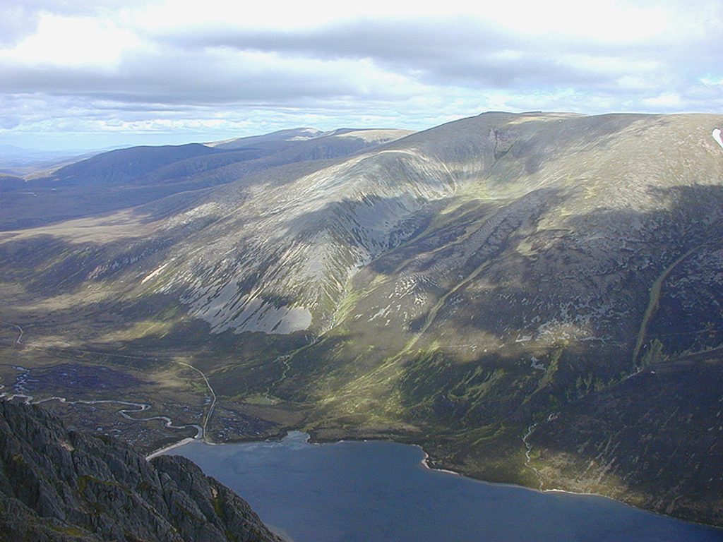
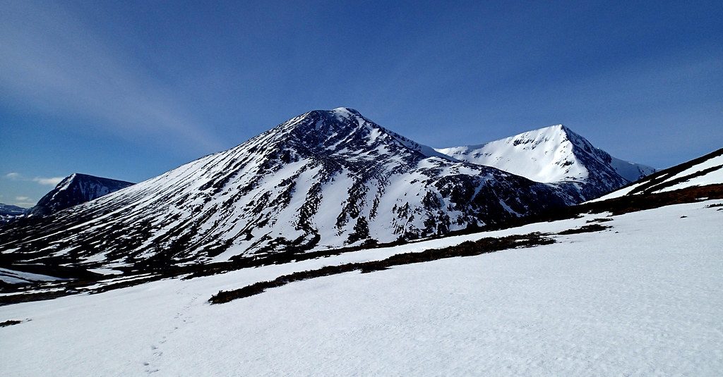
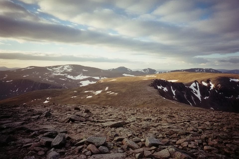
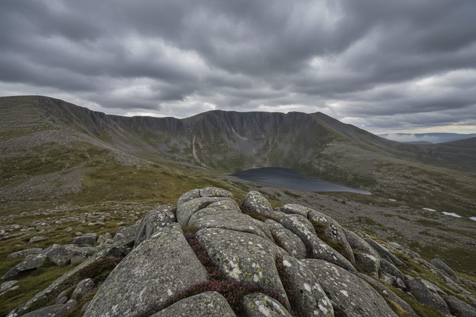
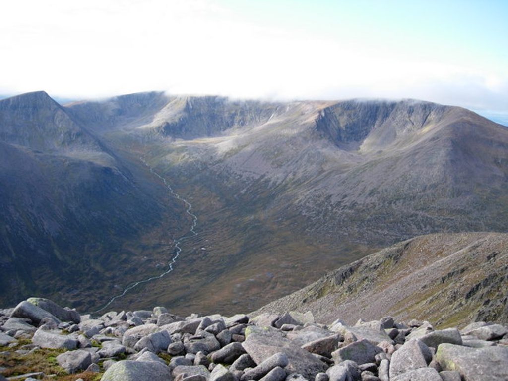
After a fierce initial climb, the track cruises high over open moorland with sweeping looks back to the Cairngorm massif and down over the Spey valley. The route eventually drops to the tranquil glen of the River Dulnain, a calm counterpoint to the windy uplands, then threads woods (including Docharn Woods) before a gentler finish along the Speyside Way. It’s classic Cairngorms geology on show—broad glacial forms, peat and heather moor, and the granite backbone that defines the range.
Look for the start signage—“Burma Road starts here”—on the hillside above Aviemore. The main climb is the headline: an extremely steep three-mile haul that many riders will walk in places. The track is a broad estate/landrover road with long sightlines; you may encounter estate vehicles. Variants connect toward Boat of Garten and Carrbridge, and many people cap the day with a café stop back in Aviemore.
This is a hard route, plain and simple. The sustained steepness, mixed surfaces, and exposure demand good fitness and mature pacing. Riders should bring gravel or mountain bikes; hikers should be comfortable with a long day on rough track. If you’re after a gentle lochside amble, pick something else; if you want a big, remote-feeling circuit with straightforward navigation and maximum reward-per-mile, this delivers.
Late spring through autumn is prime: firmer surfaces, clearer skies for those big views, and fewer icy surprises. It’s possible year-round, but winter can bring snow, ice, and biting wind—conditions that push this loop into specialist territory and can make the steep climb treacherous.
Begin directly from Aviemore and follow the signed “Burma Road starts here” track; parking specifics aren’t stated—many simply start from town. Variants also link from Boat of Garten or Carrbridge.
Expect an extremely steep three-mile climb, full exposure to wind and rapid weather shifts, rough mixed surfaces, and occasional estate vehicles. Winter adds snow/ice and can require specialist skills.
Place
Place
Place
Place
Challenging
Challenging
Challenging
Challenging

Parkwolf Tour Guide
