
Place · 0 mi away
Challenging
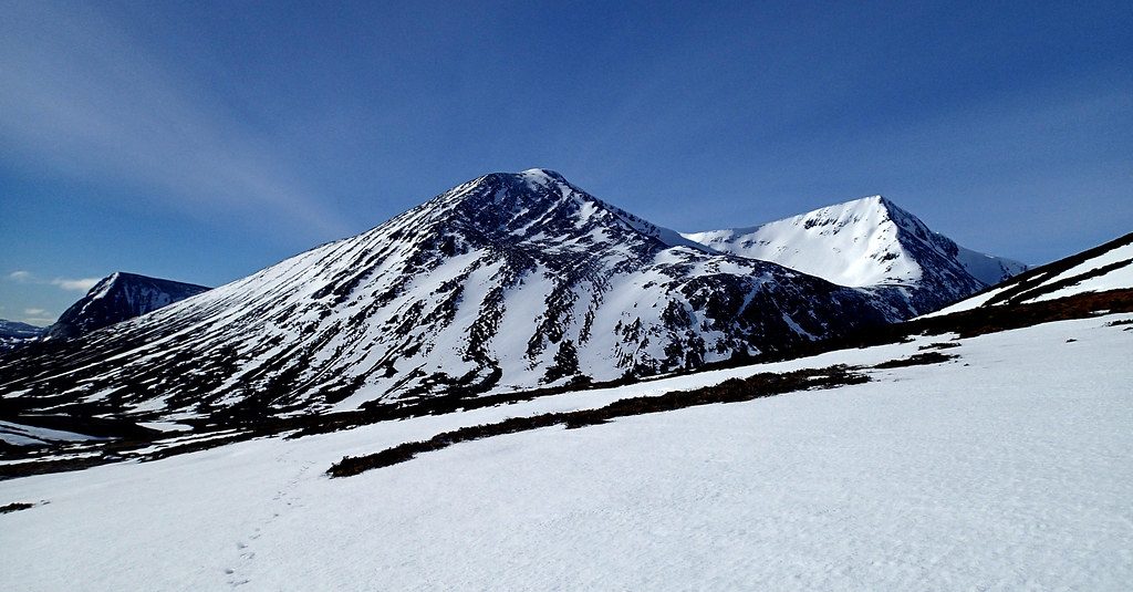
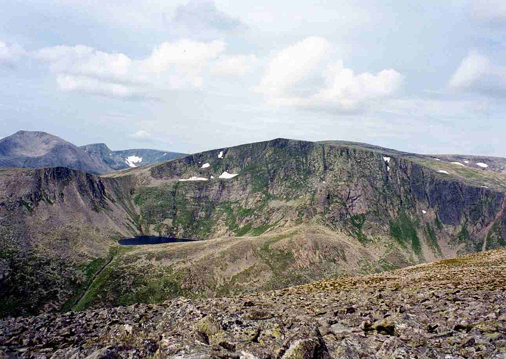
This is one of the Cairngorms’ great high-mountain days, linking Sgòr an Lochain Uaine (the Angel’s Peak) with Cairn Toul above the vast trench of the Lairig Ghru. Expect sweeping views over Braeriach and a skyline of corries, cliffs, and granite plateaus. It’s remote, committing, and unforgettable.
Most hikers tackle these Munros either from the south via Linn of Dee and Corrour Bothy, or from the north via the Sugar Bowl and the boulder-choked Chalamain Gap. Typical distance for a day that includes both Munros is roughly 18–22 miles total (around 30+ km), with 1,400–1,800 m of ascent. Plan on 10–14 hours depending on fitness, conditions, and whether you extend to nearby giants like Braeriach. This is a serious mountain outing, not a casual stroll.
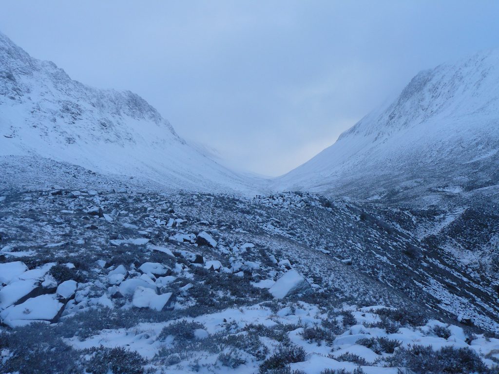
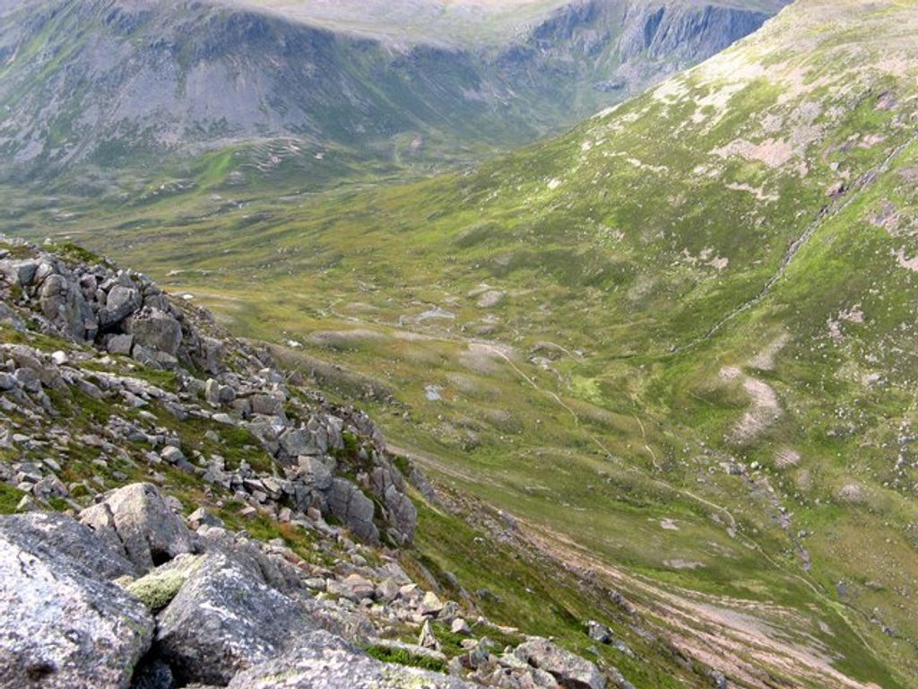
Lower approaches use easy estate tracks before giving way to rough, rocky mountain paths and occasional boggy stretches. Higher up you’ll negotiate stony corries, boulderfields, and exposed ridgelines. Navigation can be tricky—paths fade in places and the plateau can be confusing in cloud. The southern line passes atmospheric Corrour Bothy, a classic shelter, while the northern line via Chalamain Gap adds a memorable boulder ravine. Views into the Lairig Ghru are huge, and the little green lochan below Sgòr an Lochain Uaine is a highlight when seen from above.
These peaks are classic Cairngorm granite, carved by Ice Age glaciers into steep corries and vast plateaus. Keep an eye out for ptarmigan and mountain hare on the high ground, red deer in the glens, and the occasional golden eagle circling overhead.
Late spring through early autumn offers the best balance of daylight and conditions. Summer can bring midges in sheltered glens—bring repellent. Winter turns this into a mountaineering day requiring full winter skills and equipment. Start at first light year-round; this is a long effort even in good weather.
If you’re fit, navigationally confident, and after a wild Cairngorm epic, it’s absolutely worth it. If you want something shorter and less committing, consider tackling one section from either approach and saving the full link-up for a longer day with a stable forecast.
Linn of Dee car park (fee applies) for the southern approach; Sugar Bowl car park for the northern approach via Chalamain Gap.
Serious, remote mountain terrain with rough, rocky paths and boulderfields; unmarked in places and navigation is demanding in cloud. Weather changes rapidly; winter conditions require full mountaineering kit. Check stalking notices in autumn and expect midges in summer.
Place · 0 mi away
Place · 1.6 mi away
Place · 2 mi away
Place · 2.1 mi away
Challenging · 0 mi away
Challenging · 0 mi away
Challenging · 0 mi away
Challenging · 0 mi away

Parkwolf Tour Guide
