
Place · 0 mi away
Moderate

This moderate forest-and-moorland loop ties together the sculpted drama of Burn O’Vat with the quieter Culblean woods and glimpses of lochside scenery. Expect roughly 6.6 miles total for the fuller circuit (a shorter core loop runs about 4.0 miles). Most hikers tackle it as a half‑day wander with time to poke around inside the Vat.
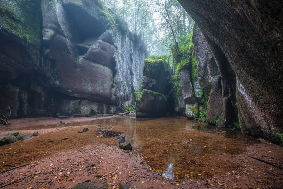
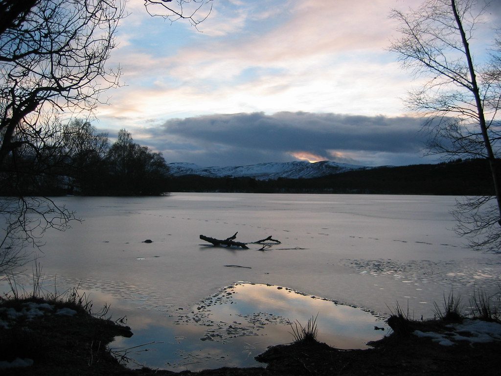
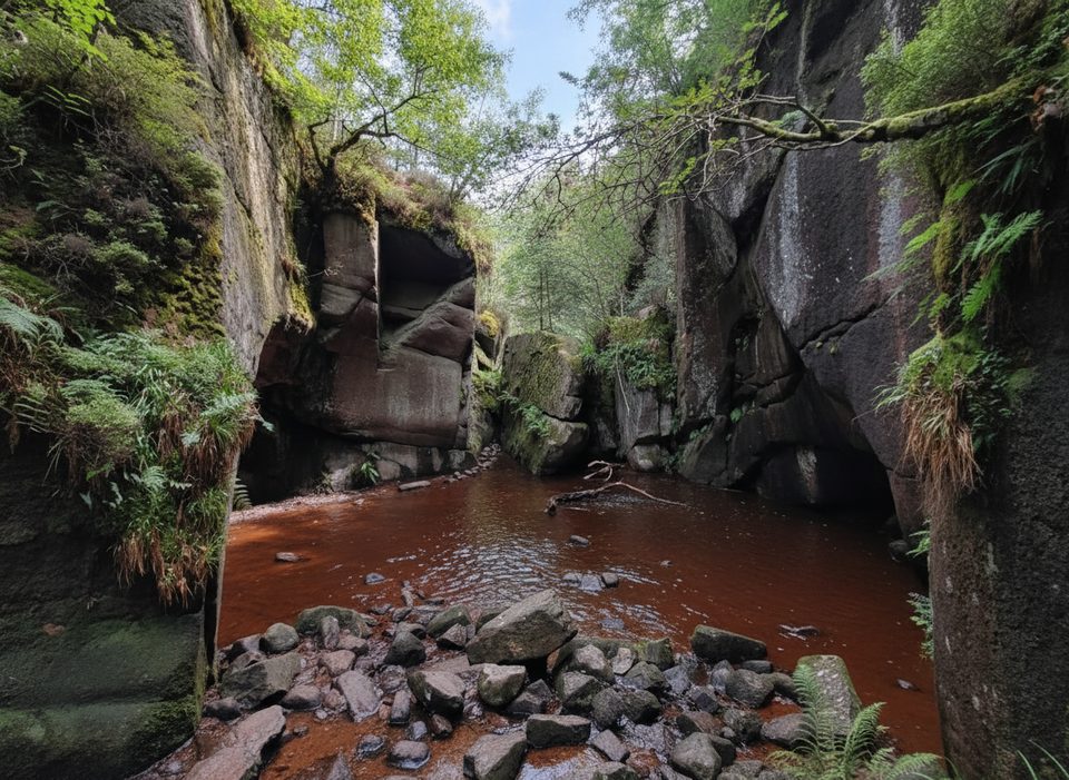
Start at the Burn O’Vat visitor centre car park and warm up quickly—your first stop is the Vat itself, a glacially carved bowl you actually enter via stepping stones. After exploring the echoing “cauldron,” the loop climbs through Scots pine and birch, threading into heather moorland and back through mixed woodland. The fuller circuit adds tranquil looks toward Loch Kinord (and occasionally Loch Davan), with birdlife working the wetlands and shore margins.
Waymarked paths and forestry tracks keep navigation simple, though you’ll meet some stony, rooty stretches and a few short, steep pulls. The stepping stones into the Vat can be slippery or even submerged after rain—plan footwear accordingly and be ready to skip the interior if flows are high. Otherwise, this sits comfortably in the “moderate” camp for anyone with reasonable fitness.
Burn O’Vat is a textbook glacial pothole, scoured by powerful meltwater swirling debris at the end of the last Ice Age. Around it, you’ll walk through classic Cairngorms Scots pine and birch woodland, with open heather in places. Keep an eye out for birds and waterfowl near the lochs, especially in spring and summer when the reserve is lively.
February through October generally offers the best footing and experience. Aim for early or late in the day to enjoy the Vat with fewer people, and go after light rain if you want the “hidden cave” feel—just be cautious with water levels. In winter, the route can be icy or wet; the stepping stones and short, steep bits are the first to turn treacherous.
Park at the Burn O’Vat visitor centre car park (toilets on site). The loop is well waymarked—watch for yellow cross markers and blue duck symbols—so it’s a friendly choice for families used to this distance. There’s bus service to Dinnet, but nothing right to the trailhead, so most visitors drive. Bring waterproof footwear and be ready to adjust plans at the Vat if the stones are under water. If you only have an hour, you can just visit the Vat and return; but the full loop repays the extra time with quiet woodland and loch views.
Burn O’Vat visitor centre car park at the Muir of Dinnet trailhead; toilets available. Bus service reaches Dinnet but not the car park—most arrive by car.
Stepping stones at the Vat are slippery and may be flooded after rain; expect stony, rooty sections and short steep climbs, and be wary of ice in winter.
Place · 0 mi away
Place · 0 mi away
Place · 0.3 mi away
Place · 0.7 mi away
Moderate · 0.3 mi away
Moderate · 0.8 mi away
Challenging · 4 mi away
Challenging · 4 mi away

Parkwolf Tour Guide
