
Place · 0 mi away
Challenging
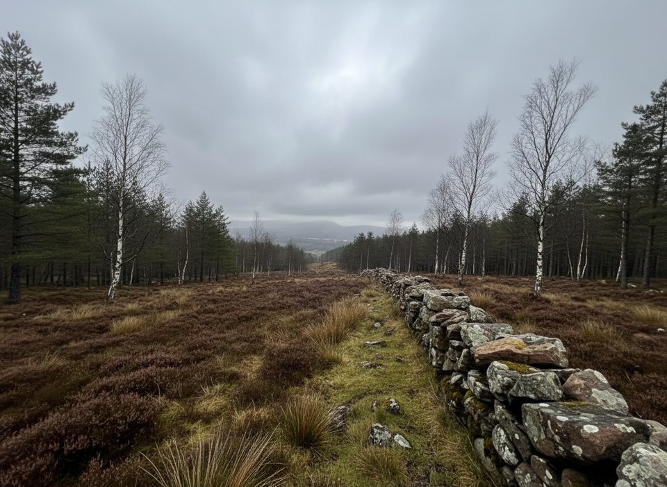
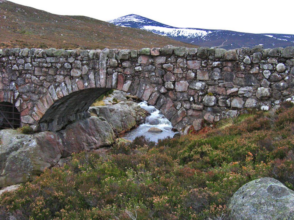
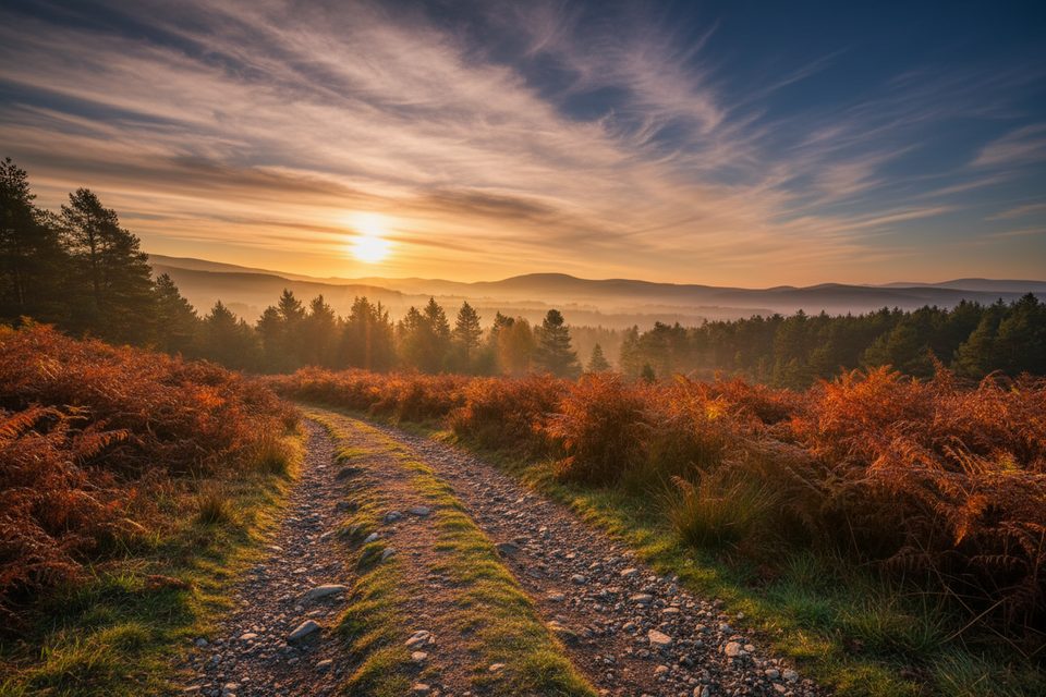
Firmounth Road is a historic high-level crossing over the Mounth in the southern Cairngorms, linking Glen Tanar (near Aboyne) with Glen Esk. Expect a long, exposed traverse through open moorland and heather hills with sweeping views and a deep sense of remoteness. It’s roughly 15 miles one-way, typically taking 6–8 hours for fit walkers. Cumulative ascent is around 600 m, and the seriousness comes from both the length and the exposure.
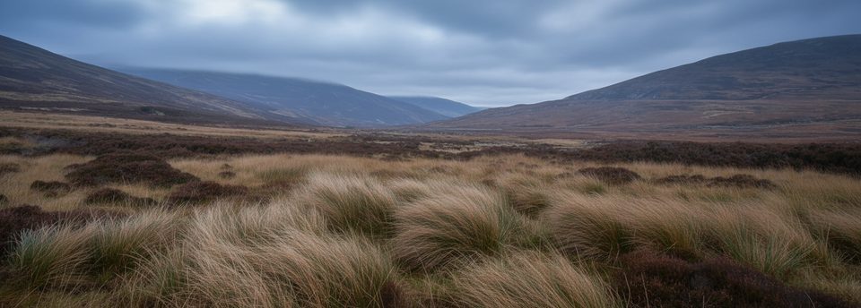
From the Glen Tanar side, the route begins amid ancient Caledonian pinewoods and often tracks the Water of Tanar before climbing into windswept uplands. The line of the old drovers’ road passes east of Hill of Cat and over high points such as Gannoch, Hill of St Colm, and Craigmahandle—the highest ground on the crossing. The scenery is classic Cairngorm granite upland: glacially molded plateaus, scattered boulders, and peaty soils that turn boggy after rain. Keep an eye out for red deer on the open ground, grouse flushing from heather, and birds of prey riding the wind.
Underfoot it’s a mix: lower estate tracks and grassy paths give way to rough, stony, and sometimes wet or briefly pathless sections—especially near the Birse Castle grounds and on the higher, more featureless moor. In clear weather the line is generally straightforward, but in mist, snow, or poor visibility, navigation becomes serious fast. There are no facilities along the crossing, and shelter is scarce once you leave the woods. This is a rewarding historic route for experienced hikers who enjoy solitude and big, open country; it’s not ideal for beginners looking for a gentle woodland stroll.
Late spring through early autumn (May–September) offers longer daylight, typically drier ground, and clearer views. Heather blooms in late summer, coloring the hillsides. Winter and shoulder seasons can bring snow cover, boggy ground, and harsh weather, greatly increasing navigation and commitment.
For those who appreciate history, solitude, and big skies, Firmounth Road is a classic. The payoff is the combination of wild scenery, old drove-road character, and the satisfying feel of a true crossing—provided you come prepared for exposure, rough going, and fickle weather.
Begin from Glen Tanar or Glen Esk; arrange a car shuttle or pickup. Public transport options are limited for a point-to-point crossing.
Remote, exposed upland with little shelter; featureless in mist or snow—strong navigation skills required. Expect wet, rough, sometimes pathless sections and no facilities along the route.
Place · 0 mi away
Place · 0.3 mi away
Place · 0.6 mi away
Place · 0.6 mi away
Challenging · 0 mi away
Easy · 0 mi away
Moderate · 3.8 mi away
Moderate · 4 mi away

Parkwolf Tour Guide
