
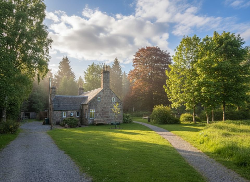
Place · 0 mi away
Challenging
This is the finest way to climb Mount Keen, Scotland’s most easterly Munro. Starting near the Glen Tanar Visitor Centre, you’ll follow easy estate tracks through ancient Scots pinewoods before breaking out onto broad, open moor and a stony mountain path to the dome‑shaped summit. It’s a big day out: roughly 18–20.5 miles total (about 29.5–33.2 km) out-and-back, typically 8–10 hours depending on pace and detours. The ascent sits in the ~870–1,130 m range, which, coupled with the distance, makes this a tough but straightforward hike for fit walkers.
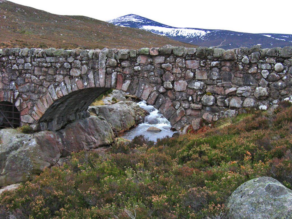
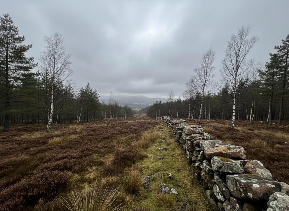
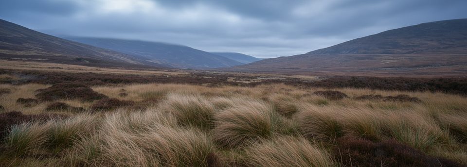
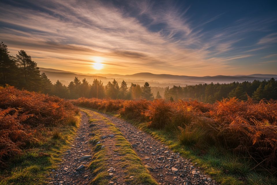
The lower glen is classic Caledonian pine forest—heather underfoot, birdsong in the trees, and the Water of Tanar for company with pretty bridges and tranquil stretches. Higher up, the character flips to remote heather moorland with big horizons across the Mounth plateau. Keep an eye out for traditional waypoints like the Half Way Hut and the Gathering Cairn around 790 m. The summit (939 m) delivers sweeping views over Deeside, Lochnagar, and deep into Aberdeenshire.
Wildlife is a real draw: look for deer in the glens, mountain hares on the upper slopes, and eagles riding thermals. Crossbills and other finches frequent the pinewoods. In summer, expect some flies along the river sections.
Underfoot, the going is friendly at first: wide, well-maintained estate tracks through the woods. As you gain height, the path narrows and becomes rougher and more gravelly, with a steeper, stonier push to the top. Navigation is generally straightforward in clear weather, but this is exposed country—fog can drop fast on the plateau, and the wind bites even in summer. Most hikers return the same way; some make a longer circuit via additional tracks and tops.
Late spring through early autumn offers longer daylight, generally drier tracks, and the pinewoods at their best. Summer breezes on the moor usually keep bugs manageable, though flies can linger by the river. Winter ascents are possible but expect snow and ice on the upper slopes and plan for short days and full winter kit.
Absolutely—if you’re up for the distance. This is the most scenic, tranquil approach to Mount Keen and a quintessential eastern Highlands day. If you want a shorter outing, the Glen Esk route is quicker, but it can’t match the forest-to-moor progression and atmosphere you get from Glen Tanar.
Pay-and-display parking at the Braeloine/Glen Tanar Visitor Centre car park near Aboyne; start from the visitor centre/Bridge of Tanar area.
Big, remote day with exposure to wind and fast-forming fog; limited water and no shelter higher up. Flies can be bothersome by the river in summer. Bikes are suitable only for the lower estate tracks.
Place · 0 mi away
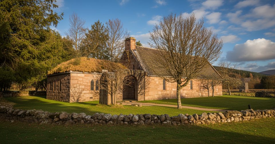
Place · 0.3 mi away
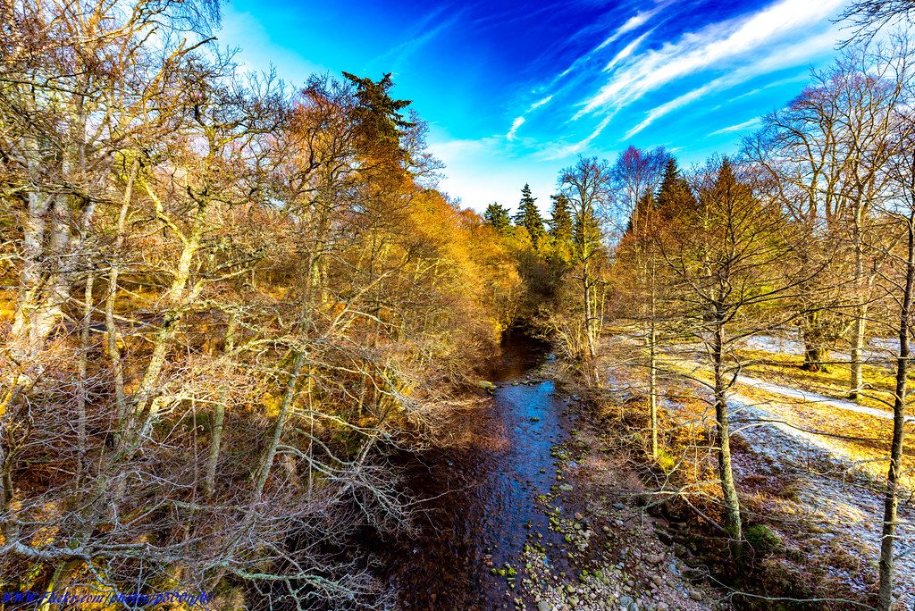
Place · 0.6 mi away
Place · 0.6 mi away
Challenging · 0 mi away
Easy · 0 mi away
Moderate · 3.8 mi away
Moderate · 4 mi away

Parkwolf Tour Guide
