
Place
Challenging
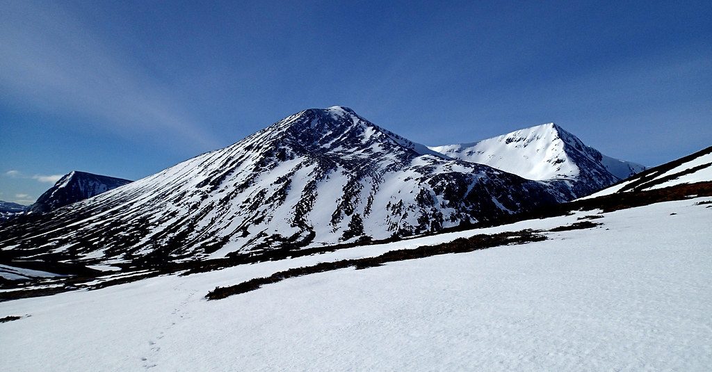
A classic Glenshee Munro link‑up, this circuit tags Càrn an Tuirc and Cairn of Claise across broad, rolling high ground. Expect wide horizons, rounded tops, and that distinctly East Highlands mix of grassy plateaus and stony summits. It’s a satisfying 2‑summit day at roughly 11 km total (loop), generally taking 3–4 hours for experienced walkers.
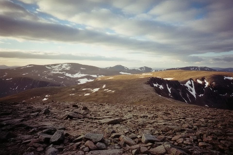
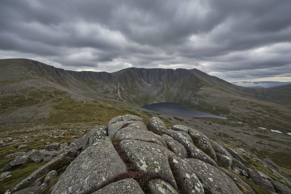
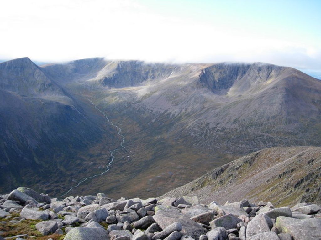
Most hikers start directly from the A93, ascending Càrn an Tuirc on a straightforward line before crossing a high, open plateau to Cairn of Claise. Between the summits the path can be intermittent or vanish entirely, with stretches over grassy, sometimes wet ground and a bealach that can feel feature‑poor in mist. Summits are stony and exposed, with modest cairns and expansive views across the Cairngorms and south towards Perthshire.
This is not a ridge walk—think gentle gradients over big, open country. Underfoot you’ll meet a mix of rough grass, occasional peat hags and boggy patches, plus stony sections near the tops. Above ~900 m it’s exposed and can feel remote despite the quick access from the road.
Physically it’s moderate; the real challenge is navigation when visibility drops. Expect faint or disappearing paths between summits; a map, compass, and the skills to use them are essential. In winter this becomes a serious mountain day with snow, ice, and strong winds likely, suitable only for well‑equipped, experienced parties.
Late spring through early autumn (May–October) brings longer days and typically drier ground—ideal for picking a clear window to simplify navigation and enjoy the views. Winter conditions are harsh and only for those with winter kit and experience. Regardless of season, check the forecast and start early if you plan to extend the round.
These rounded, high plateaus owe much to ancient glacial shaping—expect broad shoulders and subdued relief rather than jagged arêtes. Moorland and peat features are common; keep an eye on how the terrain funnels water into soggy bealachs after rain.
Length and time: approximately 11 km (total loop), 3–4 hours for experienced walkers.
Roadside laybys on the A93 near the Glenshee/Cairnwell Pass; start directly from the Glenshee side of the hills.
Navigation between summits is challenging in poor visibility; paths can disappear across exposed plateau. Expect boggy ground in bealachs. Winter brings snow, ice, and strong winds—winter skills and kit required.
Place
Place
Place
Place
Challenging
Challenging
Challenging
Challenging

Parkwolf Tour Guide
