
Place · 1 mi away
Easy
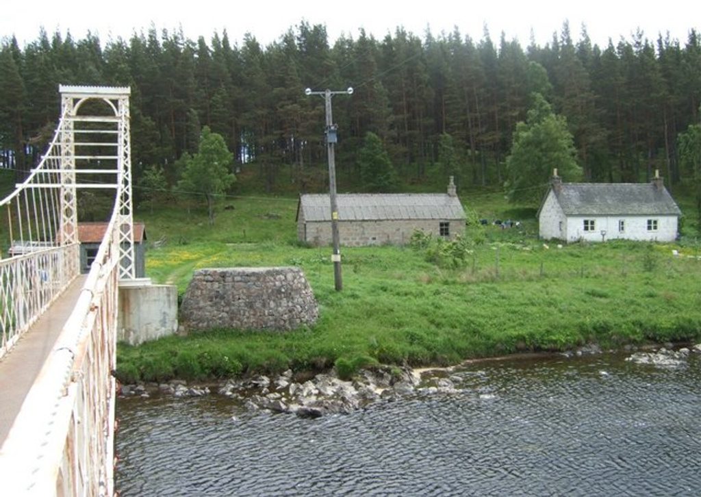
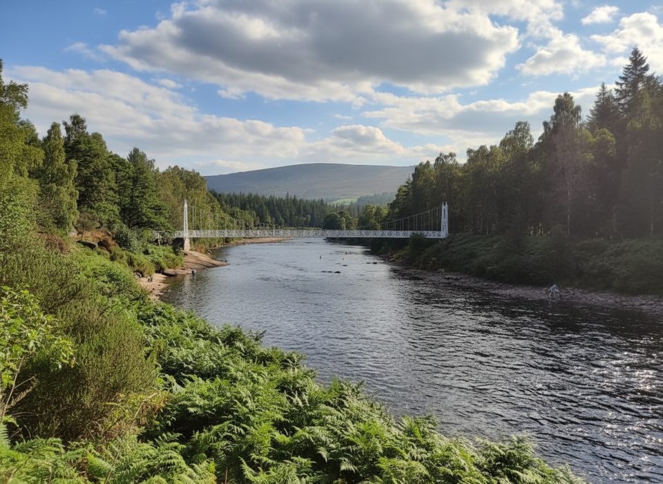
This is the town-friendly loop from Ballater that crosses the elegant, white Polhollick suspension bridge over the River Dee. Expect a mix of riverside path, woodland trail, and short minor-road sections, with heritage sprinkled in. The full circuit is roughly 6.2 miles total and typically takes about 3 hours at a relaxed pace.
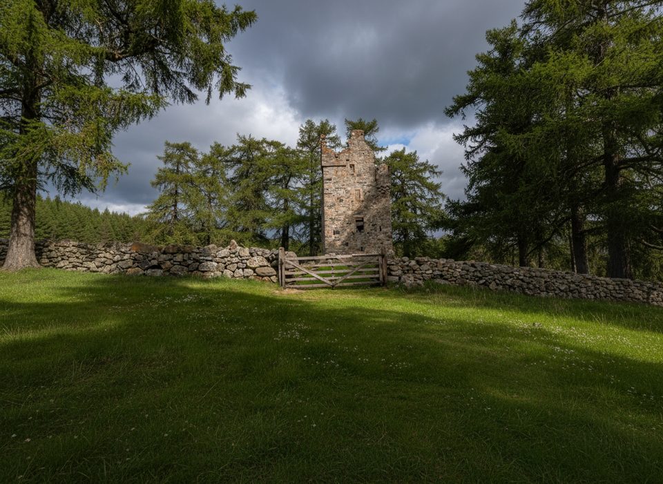
Starting in Ballater, follow the blue waymarks that string together multiple bridge crossings—the Polhollick Bridge being the star. The bridge dates to 1892, was restored after flood damage, and has a narrow deck with a 4-person limit at a time. On the south side of the Dee you’ll weave through Dalliefour Wood, a peaceful mix of Scots pine and oak, with occasional views toward Craigendarroch and across the Dee valley. A side trip to the atmospheric ruins of Knock Castle adds a fun bit of lore if you’ve got the time and energy.
Surfaces vary from earthy riverside paths to firmer woodland tracks, with a few rocky or stepped segments and brief stints on quiet roads. It’s a low-level, moderate effort walk: mostly gentle grades with some uneven footing. The suspension bridge crossing is a highlight—slightly swaying, photogenic, and a unique way to see the river corridor.
Year-round is fair game. Spring and summer bring lush woodland and active birdlife; autumn’s color show is excellent in the oaks. Winter can be wonderfully atmospheric but expect mud, ice, and occasional flood-affected sections. After heavy rain, an alternate higher line near the A93 between Bridge of Gairn and Polhollick Bridge is sometimes the smarter call.
You’re walking a classic Dee-side landscape shaped by glaciers and the river over deep time, with thin, peaty woodland soils supporting Scots pine, oak, and birch. Keep an eye (and ear) out for shy forest specialists in spring and summer, and respect protected wildlife by giving space.
Absolutely—this is a relaxed, varied loop with real character: a historic suspension bridge, quiet woods, and river soundscapes. It’s not a big-mountain day, but as a half-day Cairngorms sampler from Ballater, it’s spot on.
Ballater railway station car park in the village centre; follow blue waymarks from there.
After heavy rain, riverside paths may be washed out or flooded; use the alternate high route near the A93 between Bridge of Gairn and Polhollick Bridge. Expect uneven, sometimes muddy or icy ground, and a narrow suspension bridge with a 4-person maximum at once. Keep dogs on lead in spring/summer to protect sensitive wildlife.
Place · 1 mi away
Place · 1.3 mi away
Place · 1.6 mi away
Place · 1.7 mi away
Moderate · 1.6 mi away
Moderate · 1.6 mi away
Moderate · 4.7 mi away
Moderate · 5.4 mi away

Parkwolf Tour Guide
