
Place
Moderate
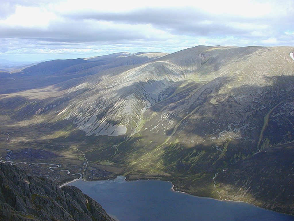
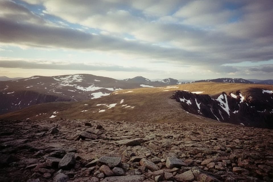
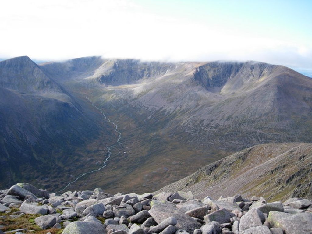
This is the upper, viewpoint-focused route at Craigellachie National Nature Reserve above Aviemore: a short but steep outing through natural birch woodland and past still lochans to a cairned summit with wide-open vistas of the Cairngorms and Speyside. Expect a clearly waymarked path that feels surprisingly wild given how close it is to town. Total distance is about 2.7 miles (4.4 km) round trip, returning the same way from the top.
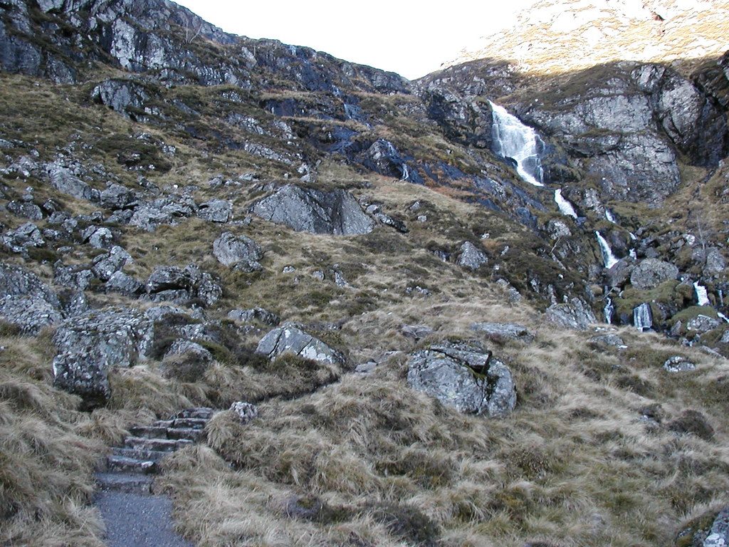
Start from the Aviemore Youth Hostel car park, then follow the underpass beneath the A9 to the reserve entrance. Trails here are colour-coded and well marked. The climb to the viewpoint is steep but straightforward, with benches and handy perches to catch your breath. The summit is marked by a large cairn. There’s no alternative descent on the upper section—you’ll head back the way you came.
If you want to warm up or keep things gentler, there are shorter, lower woodland/lochan loops (roughly 0.7–1.8 km) that branch off the main waymarked network. The upper viewpoint line is the most strenuous and most rewarding for big views.
Plan on 2–2.5 hours total to enjoy the upper route at an unhurried pace, including photo and snack time. Add roughly 10 minutes each way for the access path between Aviemore and the reserve entrance.
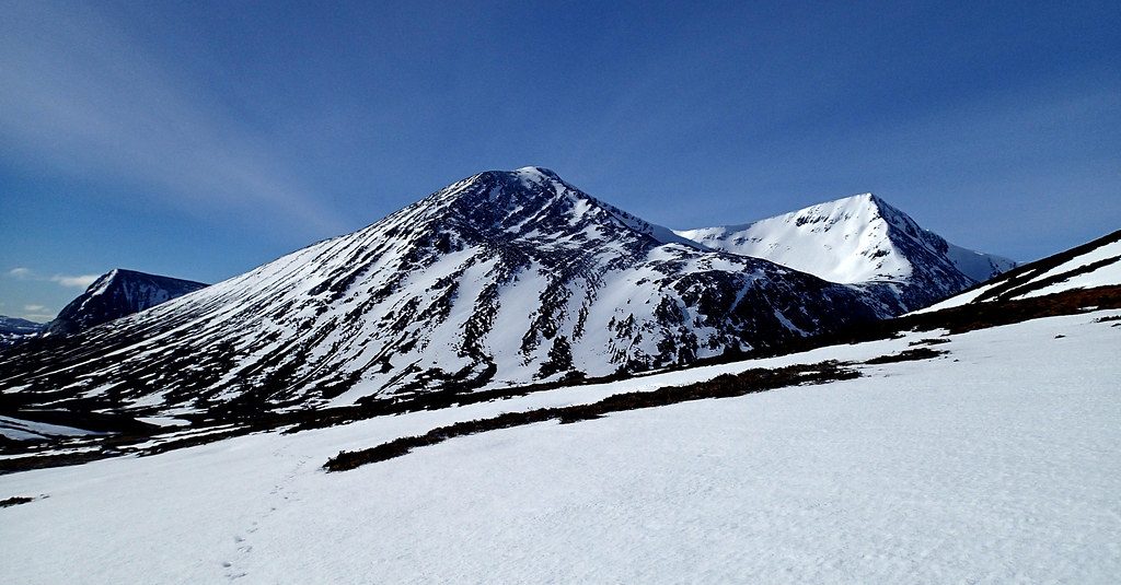
The lower paths weave through beautiful birch woods dotted with small lochans. In spring and early summer, expect birdsong, wildflowers, and insect life over the water—dragonflies and damselflies are common. Autumn brings a riot of color and fungi, while clear winter days can deliver crisp, snow-capped mountain panoramas. Wildlife is a real draw: keep an eye out for herons, frogs, and buzzards.
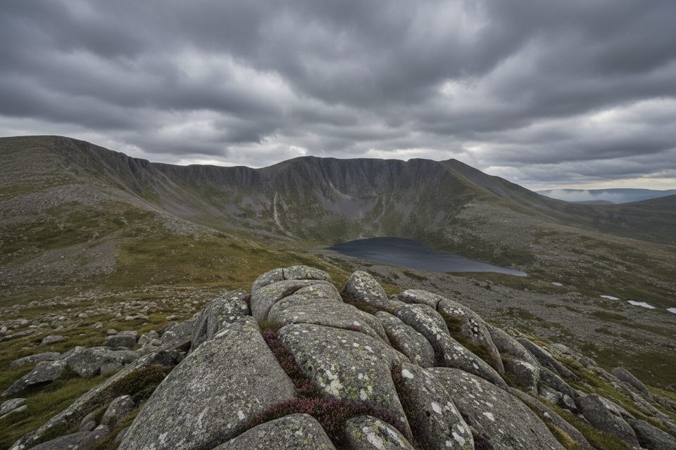
The dramatic crags and kettle-like lochans are hallmarks of a landscape shaped by glacial processes, and the reserve is notably rich—over 350 plant species thrive here.
This is a year-round trail. Spring and early summer are prime for birds and wildflowers; autumn shines with color; winter can be spectacular for views if you’re prepared for cold and ice. For nicer light and fewer people, go early or late in the day. The viewpoint is exposed and offers no shelter—check the forecast and avoid it in high winds or squalls.
Aviemore Youth Hostel car park, then use the underpass beneath the A9 to reach the reserve entrance.
Steep, exposed upper section with no shelter; rapid weather changes. Keep dogs on a short lead April–July. Wildfire risk in dry spells. Add ~10 minutes each way for the Aviemore access path.
Place
Place
Place
Place
Challenging
Challenging
Challenging
Challenging

Parkwolf Tour Guide
