
Place · 0 mi away
Easy
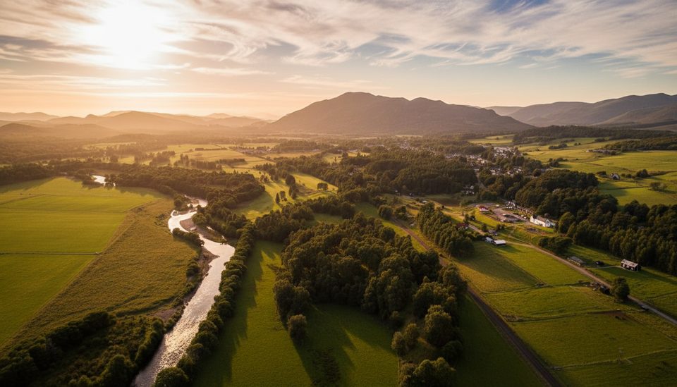
The Wildcat Trail is a waymarked 10 km (about 6.2 miles) circular route that orbits the village of Newtonmore. It strings together riverside stretches on the Spey, quiet wooded glens, and open heather moorland—classic Highland scenery without committing to a big mountain day. Look for the wildcat symbols; they mark the loop clearly and keep navigation straightforward.
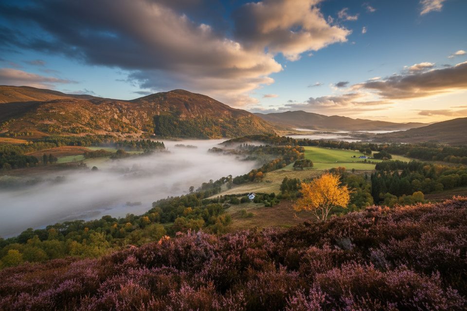
Expect a steady rotation of habitats: tranquil woodland, open moor with wide views to the Cairngorm mountains, and lively “burbling burns” feeding into the River Spey. The mix keeps the walk engaging even though you’re never far from the village. This is wildcat country—the trail’s namesake—so keep an eye out for interpretation and subtle signs of wildlife.
This is an easy-to-moderate loop suitable for most walkers, families included. It’s largely low-level with some short, steeper undulations and occasional narrow, rough, or muddy sections—especially near the river. Surfaces vary from earthy singletrack to stonier and grassy paths. It’s not suitable for wheelchairs or pushchairs.
One of the trail’s best features is flexibility. Multiple link paths connect the loop to different parts of Newtonmore, so you can complete the full circuit or dip into shorter segments as time and energy allow. An official signed diversion is in place on the Calder section where a bit of path washed out, and it’s straightforward to follow.
Open year-round. Spring and summer bring lush greenery and easier river-adjacent footing; autumn adds standout woodland color. Winter can be rewarding but expect wet, muddy, or occasionally flooded patches by the Spey—plan footwear accordingly and allow extra time in poor weather.
Yes—this is a scenic, low-commitment Highland loop with real variety and convenient access. It’s not a big summit day, but for a half-day wander mixing riverside calm, woodland, and moorland views, it’s a smart pick.
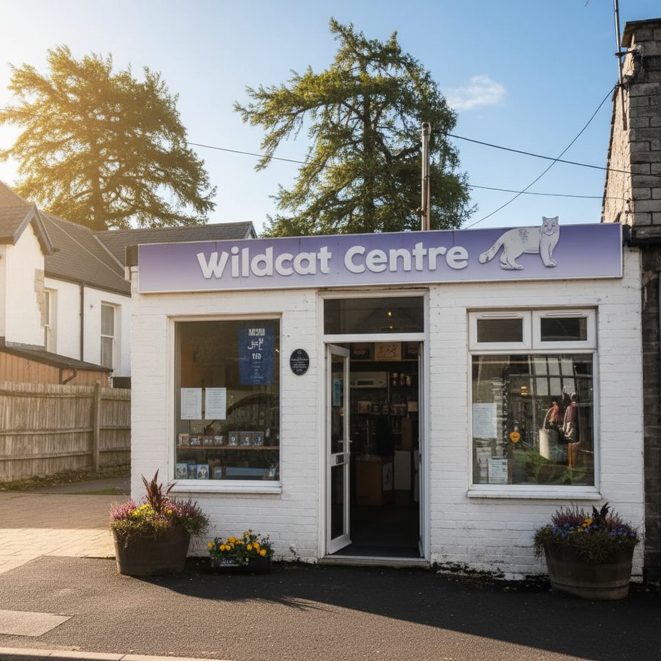
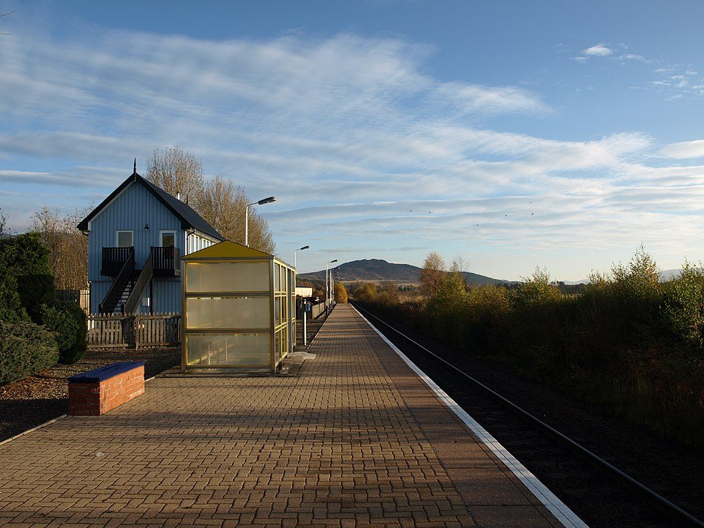
Access the loop from various points around Newtonmore; many start by the Wildcat Centre on High Street. The village is also served by train and bus if you prefer not to drive.
Expect muddy and occasionally flooded patches near the River Spey, short steeper undulations, livestock in crofting areas (keep dogs on lead), and a signed diversion on the Calder section. Not wheelchair/pushchair friendly.
Place · 0 mi away
Place · 0.1 mi away
Place · 0.2 mi away
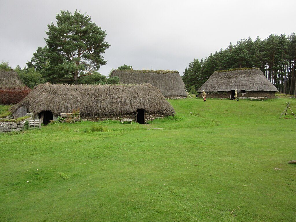
Place · 0.8 mi away
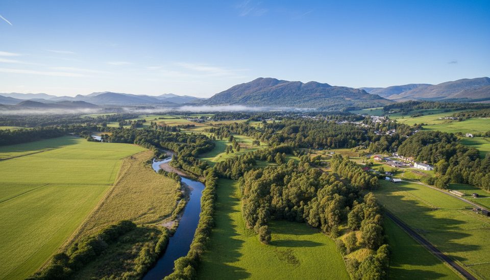
Moderate · 0 mi away
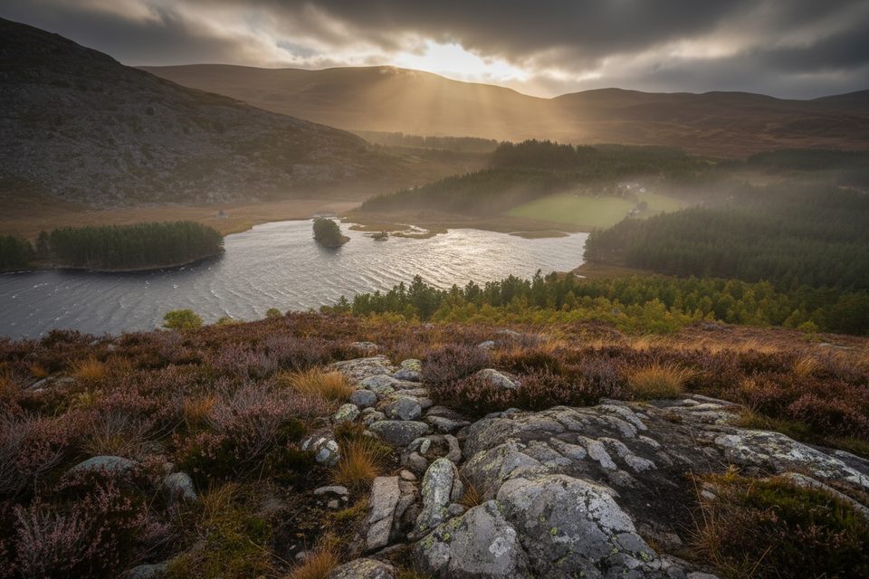
Moderate · 2.7 mi away
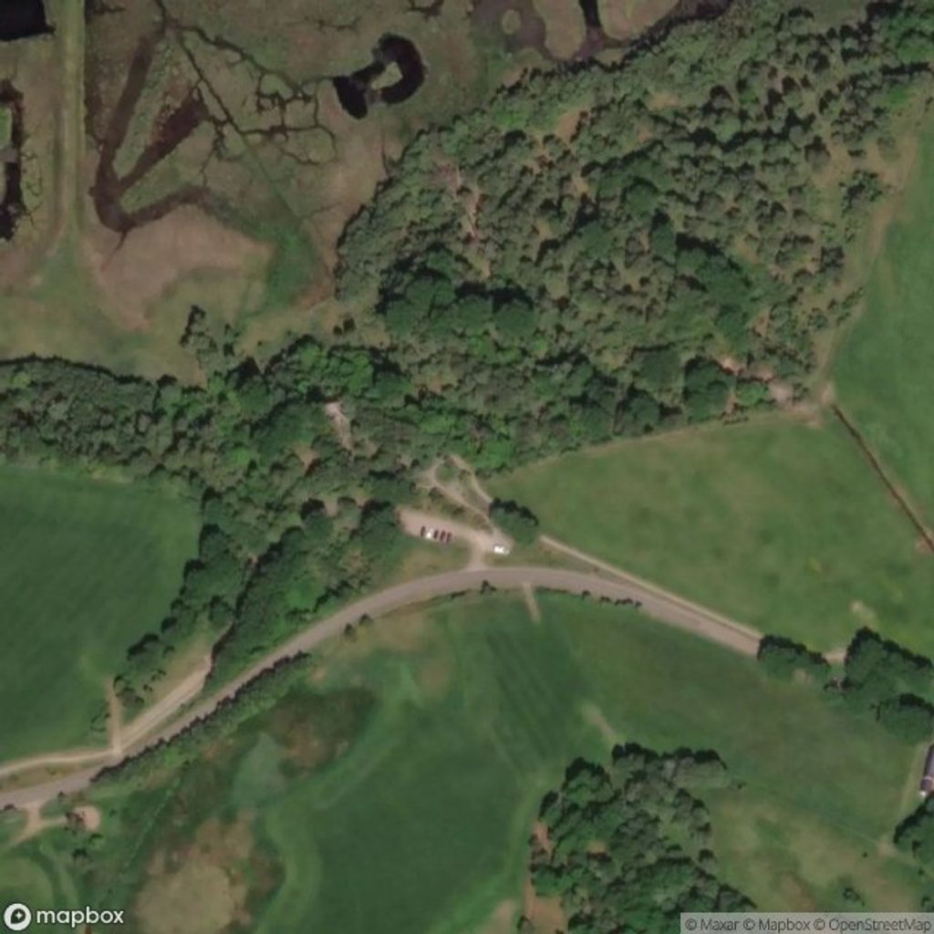
Easy · 3.7 mi away
Easy · 4.8 mi away

Parkwolf Tour Guide
