
Place
Easy
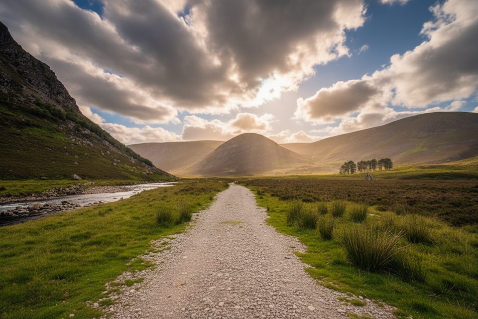
This is the classic lower Glen Mark walk: an easy-to-like out-and-back along a broad Highland valley to the crown-shaped Queen’s Well. Expect big skies, rolling heather moorland, and that satisfying feeling of remoteness without committing to a summit day. It’s a great pick when you want scenery and story over slog.
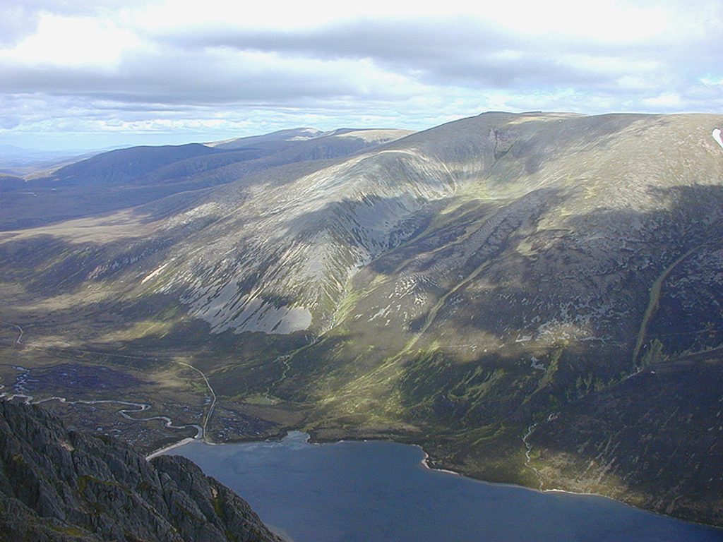
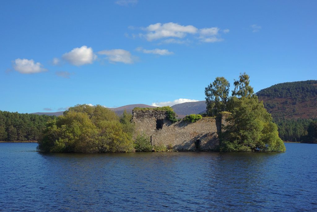
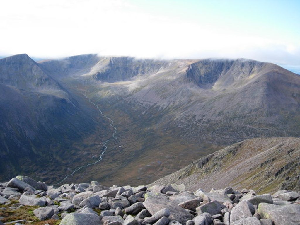
Glen Mark is a textbook U-shaped, glacially carved valley framed by rock-strewn hillsides and open moor. Keep an eye out for red deer along the flanks and grouse in the heather. The headline feature is Queen’s Well, a Victorian monument marking where Queen Victoria and Prince Albert stopped to drink in 1861—odd, ornate, and memorable in such a wild setting. If you push farther up the glen, the landscape tightens and feels wilder, with rougher ground and fewer people.
It’s an out-and-back of about 6.2 miles total on a mostly firm estate track with gentle grades and roughly 650–700 feet of cumulative ascent. Underfoot is generally gravel/dirt with some wetter, rougher patches after rain. Most walkers will take about 3 hours, including time at the well. The route feels straightforward in fair weather, but signage can be sparse and visibility changes quickly in this open glen.
If you crave more commitment, the same line continues deeper toward the hills. Experienced navigators sometimes hunt for Balnamoon’s Cave—an 18th-century Jacobite hideout with a tiny, hard-to-spot entrance high in the glen. It’s a genuine needle-in-a-haystack objective: only attempt it if you’re confident off-path and happy to spend time searching. For a full mountain day, many hikers carry on beyond the well toward Mount Keen on a well-built hill path—but that’s a separate, much longer and tougher outing than the Glen Mark glen walk described here.
Late spring through early autumn offers the friendliest experience: longer daylight, milder temperatures, and blooming heather. Winter is doable but feels far more serious—expect snow/ice, biting wind, and short days in an exposed valley. Whatever the season, aim for early starts for softer light and to keep the glen’s peaceful vibe.
Bring a map and compass or GPS; the line is clear in good conditions but easy to second-guess in poor visibility. Dress for rapid weather shifts and pack waterproofs even on bluebird mornings. There are no facilities on the route—carry water and snacks. Dogs are welcome; keep them close and under control around livestock and during ground‑nesting bird season. No permits are needed; follow the local access code and respect estate operations.
Start from Invermark at the head of Glen Esk and follow the estate track up Glen Mark toward Queen’s Well. It’s a peaceful outing most days, even in peak season, which is a big part of its charm.
Begin at Invermark (head of Glen Esk) and follow the estate track up Glen Mark toward Queen’s Well.
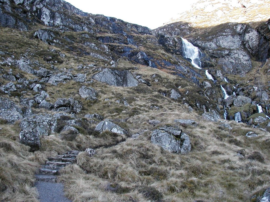
Remote, exposed valley with sparse signage; rough and boggy patches after rain. Navigation becomes challenging beyond Queen’s Well, especially if seeking Balnamoon’s Cave.
Place
Place
Place
Place
Challenging
Challenging
Challenging
Challenging

Parkwolf Tour Guide
