
Place
Challenging
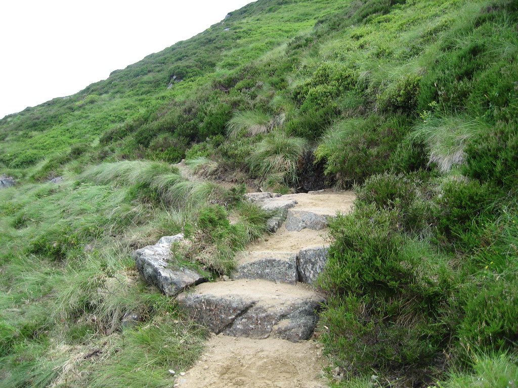
Jock’s Road is a historic, high-level through-hike linking Glen Doll in Angus to the Braemar side of the Cairngorms. It runs roughly 22 km (13.8 miles) one way, and most hikers take 7–8 hours if conditions are kind. This is a strenuous, serious mountain traverse across exposed ground, best suited to experienced hillwalkers who are comfortable with navigation and fast-changing weather.
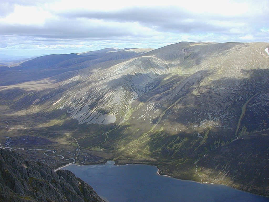
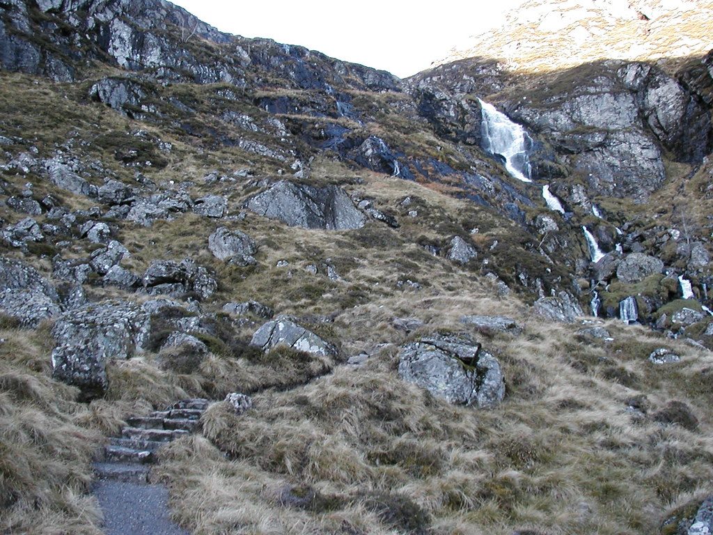
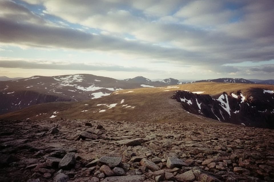
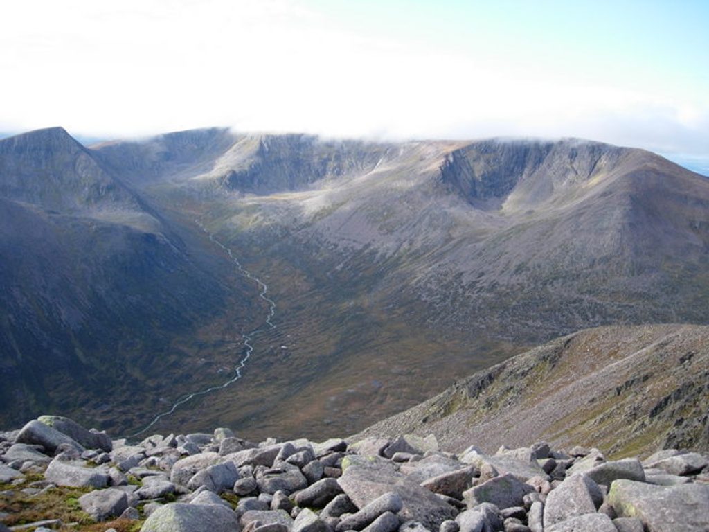
Expect a superb progression of landscapes: start in the wooded Glen Doll, follow the White Water river past pools and small falls, then break out above the trees to the wild Tolmounth plateau. The route tops out around 900 m just below Crow Craigies, then descends to the col between Tolmount and the Knaps of Fafernie before continuing north. In late summer, heather blooms paint the moorland purple; you may also find blaeberries along the way. Look up for the chance of a Golden Eagle patrolling the high ground. A red-doored mountain refuge, Davy’s Bourach, sits on the route and is a memorable waypoint.
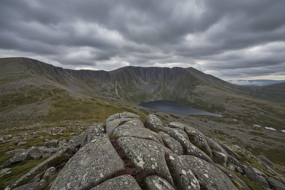
Corrie Fee National Nature Reserve is a spectacular glacial amphitheatre nearby; it’s not on the main line of Jock’s Road, but if you have extra time and legs, it’s a worthy side-show in the area.
This is a challenging crossing. The middle plateau can feel featureless and the path becomes faint or indistinct in places—especially in mist or after snowfall. Underfoot you’ll encounter rough, stony tracks, boggy stretches, and exposed high moor. Fitness and confident map-and-compass skills are essential; in poor visibility, navigation is the crux.
Jock’s Road is a point-to-point; a return on foot is impractical. Most people arrange transport at both ends or stage cars. Driving around between trailheads is a hefty detour (about 52 miles by road). Many tackle it south-to-north from Glen Doll to the Braemar side, but either direction works.
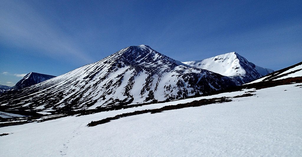
Late spring through early autumn (May–September) offers longer days, friendlier temperatures, and the best chance of clear views. Late summer brings the heather bloom. Winter is only for highly experienced winter mountaineers: expect severe exposure, potential whiteouts, and avalanche risk on and near the plateau.
If you want a classic Scottish highland crossing with genuine wilderness feel and a strong thread of history, this is a gem. It’s demanding and remote—but for prepared hikers, the combination of scenery, solitude, and heritage is hard to beat.
South end: Glen Doll Ranger Base/Car Park. North end: arrange pickup in the Braemar/Auchallater area; no easy loop back.
Exposed, featureless plateau with fast-changing weather; navigation is demanding in poor visibility. Winter conditions can bring whiteouts and avalanche risk. Limited water up high; plan refills.
Place
Place
Place
Place
Challenging
Challenging
Challenging
Challenging

Parkwolf Tour Guide
