Parking
Start at Allt Mòr car park near Glenmore and finish at Linn of Dee car park. Arrange transport between the two ends; they are not a convenient round trip.
Cairngorms National Park, SC
A remote 19-mile crossing with rough moorland and a serious Avon ford.
Overview
Map & elevation
Plan your hike

The highest, rockiest slopes around here are a summer buffet for grizzly bears.
Cairngorms Tour Guide
Parkwolf is a GPS audio tour guide for Cairngorms National Park. As you drive, it chimes in with what’s ahead: hidden gems, upcoming stops, history, geology, and wildlife, right through your car’s speakers.
See the Cairngorms audio tourRecorded for this trailhead
Allt Mòr and the Lodge Trail“Allt Mòr car park is coming up, and for a shorter forest outing, I'd choose the purple-marked Lodge Trail. The pinewood loop takes about an hour and a half, with uneven gravel and a couple of short steep slopes.”
Plays as you drive up to this trailhead in the Parkwolf Cairngorms Tour Guide.
More stories near here in the app
“Fantastic app with many points of information… It’s great to just turn on while you’re driving and it gives you an audio tour of the national Park. We love it!!!!”


Trail guide
Lairig an Laoigh is a 19-mile (30.5 km) point-to-point mountain crossing from Allt Mòr near Glenmore to Linn of Dee. It links Ryvoan Pass, the upper Nethy, the Fords of Avon and Glen Derry in a single long day. Allow 8–10 hours for rough, often stony tracks and about 720 m of cumulative ascent. This is a remote, strenuous route with several river crossings, not a casual link between nearby walks.
Arrange a vehicle transfer between the two ends or confirm dependable return transport before setting out. The route starts at Allt Mòr car park and finishes at Linn of Dee; the map follows the customary Glenmore-to-Dee direction. There is no short, straightforward way to turn this into a loop. The small Fords of Avon shelter is for emergencies, not a planned overnight stop, so carry what you need for the full crossing.
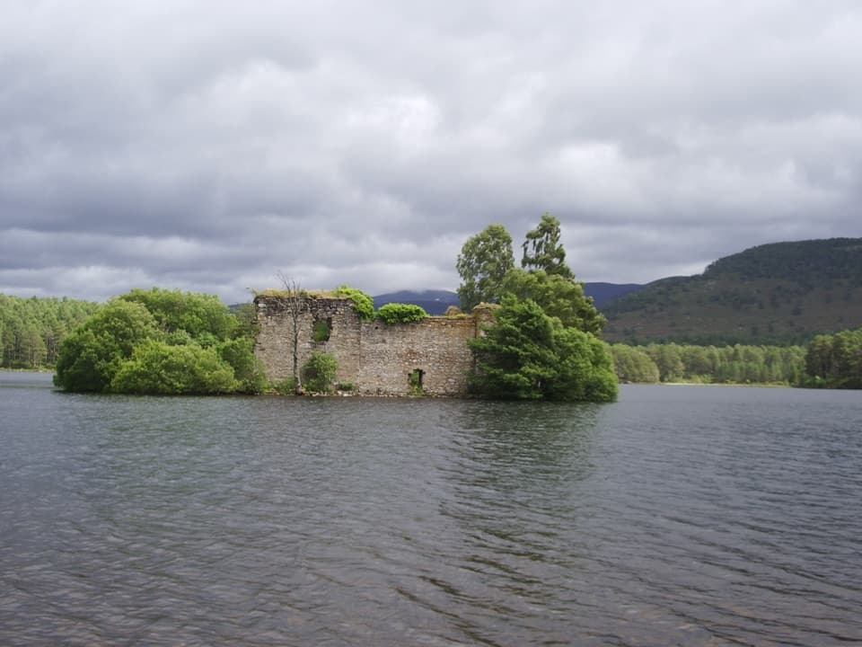
The way begins among Scots pine and crosses the Allt Mòr before climbing through Ryvoan Pass. Steps lead down to Lochan Uaine, whose green water is a memorable pause beside the track. Beyond it the path grows rougher, crosses the River Nethy by footbridge, then climbs above the forest onto open ground. At the later fork, keep left on the Lairig route; the right branch heads toward Bynack More. The broad upland can be hard to read in poor visibility, and the Water of Caiplich drainage is a serious place to stray from the path.
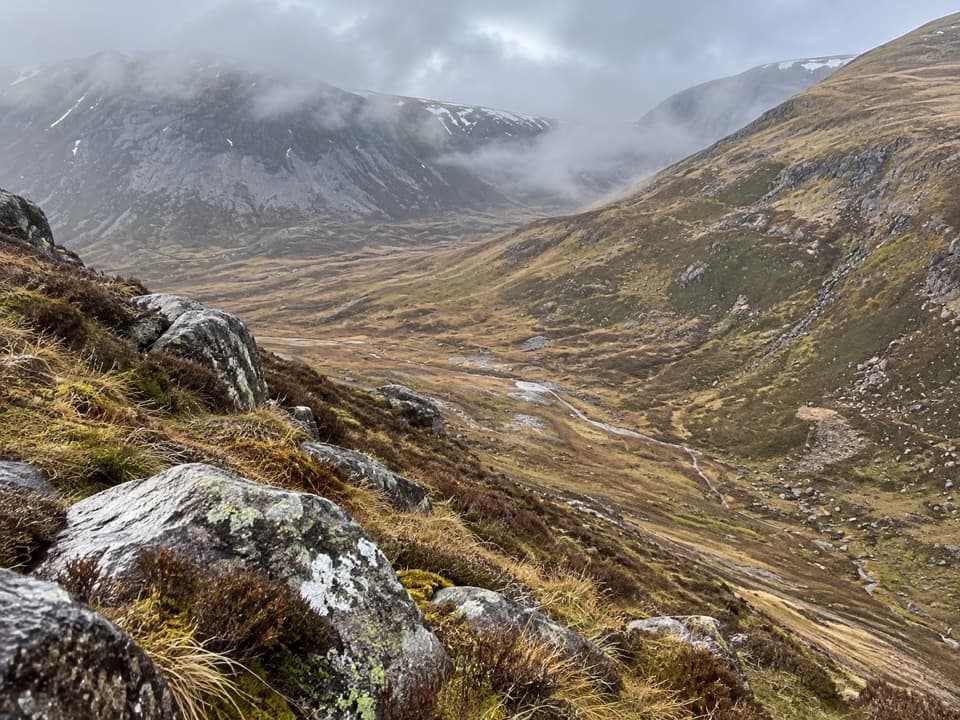
After the moorland climb, the route passes Lochan a’ Bhainne and the basic Fords of Avon refuge. The Avon crossing commonly involves wading and can be impassable in spate; a second tributary follows. Further on, Glas Allt Mòr can also run fast. Do not enter a crossing that is beyond your ability or unsafe. The stony, wet path rises to a high pass near 790 m, then drops into Glen Derry. Expect a demanding day even when the route line is clear.
The final miles descend through the Derry pinewoods, past Derry Lodge and on toward Glen Lui. After the Luibeg bridge, the path reaches the Linn of Dee car park. “Lairig an Laoigh” means “Calves Pass”: drovers used this lower eastern pass to move cattle between the Aviemore and Nethy Bridge area and Braemar. Local workers once cleared boulders from the glens for the drovers; with that work long gone, the rough stones remain a defining part of the walk.
Wildlife
 159 sightingsRed DeerMost seen around 7 AMSighting map
 63 sightingsReindeerMost seen around 6 PMSighting map
 102 sightingsOspreyMost seen around 5 PMSighting map
 37 sightingsBlack GrouseMost seen around 4 AMSighting map
 72 sightingsRed GrouseMost seen around 6 PMSighting map
 82 sightingsPine MartenMost seen around 9 PMSighting map
Sighting maps show where each species has been reported across Cairngorms. Wildlife moves, so no sighting is guaranteed.
Keep exploring
 ChallengingBynack More from Glenmore22.5 km · 7 hr · At the trailheadA long Munro out-and-back to a wide view over Moray.
 ModerateLodge Trail3.9 km · 1.5 hr · At the trailheadPinewoods, a footbridge and dog-grave headstones near the lodge.
 ModeratePine Knoll Trail2 km · 45 min · 0.5 km awayA short loop beneath twisted pines, with wood ants and summer dragonflies.
 ModerateRyvoan Pass: Glenmore to Nethy Bridge15.7 km · 4.8 hr · 0.8 km awayWalk from Glenmore through the pass to Nethy Bridge.
 ModerateRyvoan Trail5.6 km · 2.5 hr · 1.2 km awayAncient pinewoods lead to a vividly green woodland lochan.
 ChallengingMeall a’ Bhuachaille Circuit8 km · 4 hr · 1.2 km awayA green lochan, a bothy and a proper hill summit.
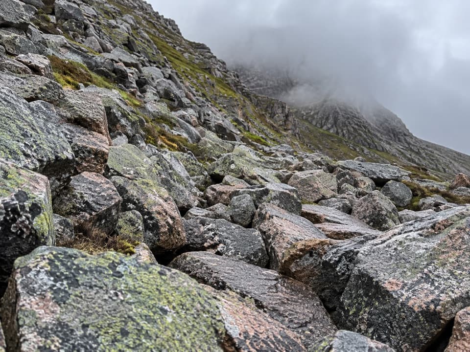 ChallengingChalamain Gap Circuit18.1 km · 6.5 hr · 1.4 km awayA long Cairngorms circuit crosses a boulder-choked pass.
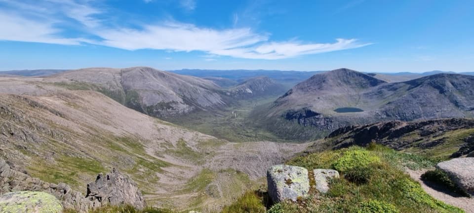 ChallengingCairn Toul–Braeriach Traverse35.8 km · 13 hr · 1.4 km awayFour Munros, a glacial pass and a high, remote return.
 Sight · 0.5 km awayHayfieldA Glenmore stop for a pine-lined walk and snow-day sledging.
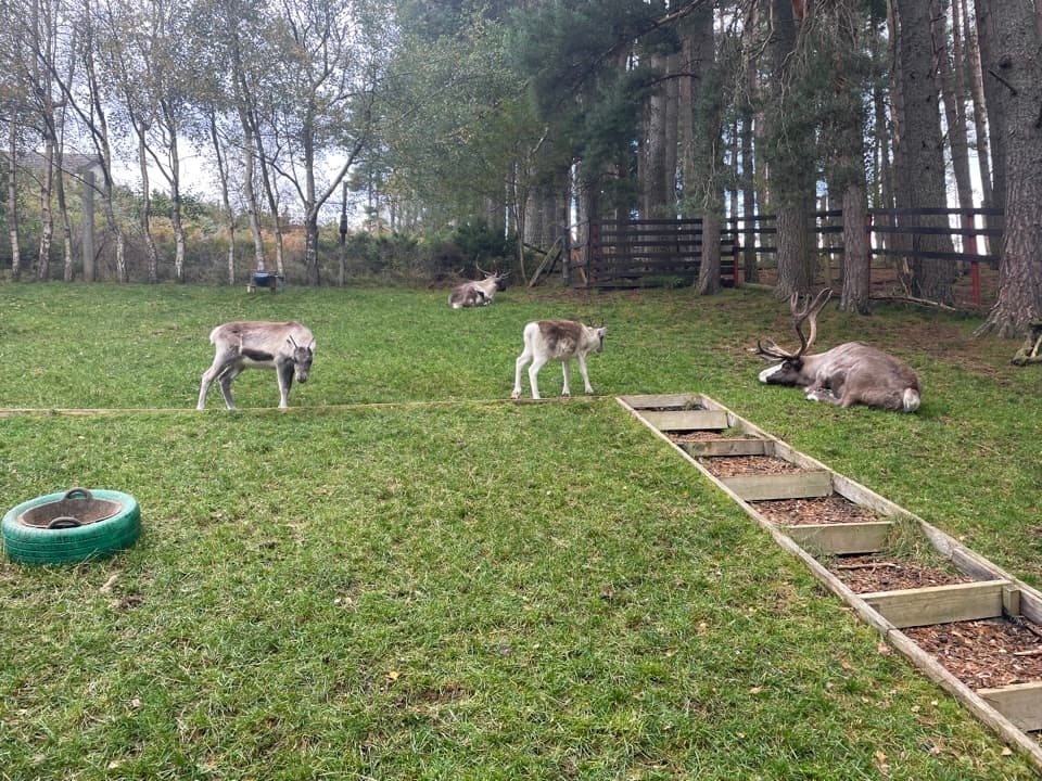 Sight · 1.1 km awayCairngorm Reindeer CentreA mountain walk brings you close enough to hand-feed reindeer.
 Campground · 1.1 km awayGlenmore CampsitePine-forest camping, with Loch Morlich’s sandy beach a short walk away.
 Visitor center · 1.2 km awayGlenmore Visitor CentreGet local walk advice before choosing your Glenmore route.
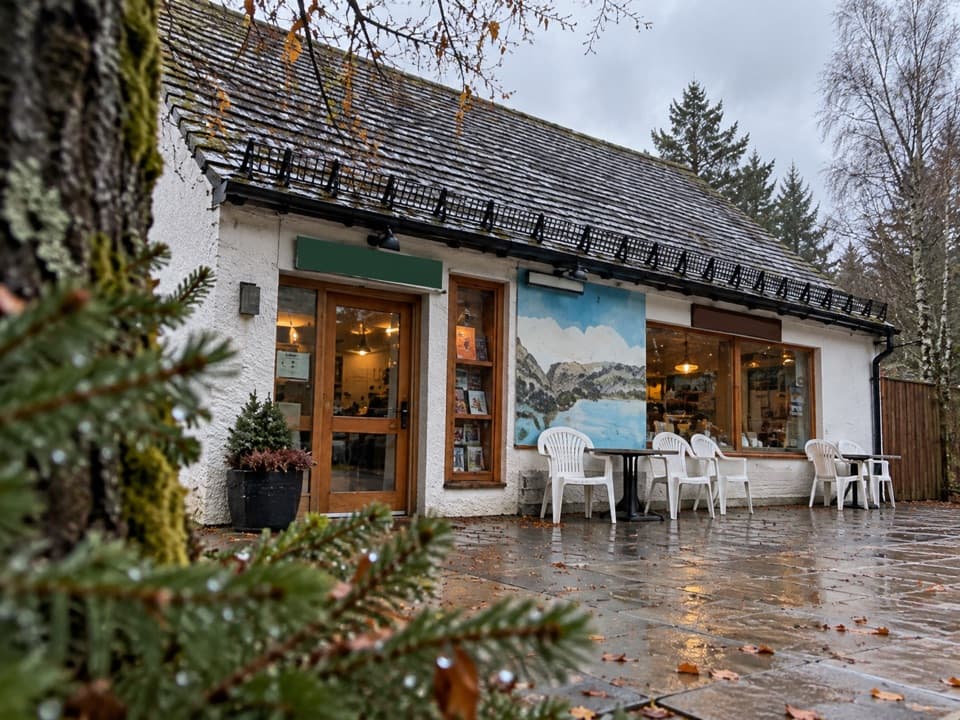 Restaurant · 1.4 km awayThe Pine Marten Bar & ScranAn alpine-style meal stop for hikers, skiers and campers.
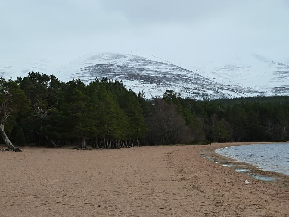 Beach · 1.6 km awayLoch Morlich BeachA sandy freshwater beach with the Cairngorms across the water.
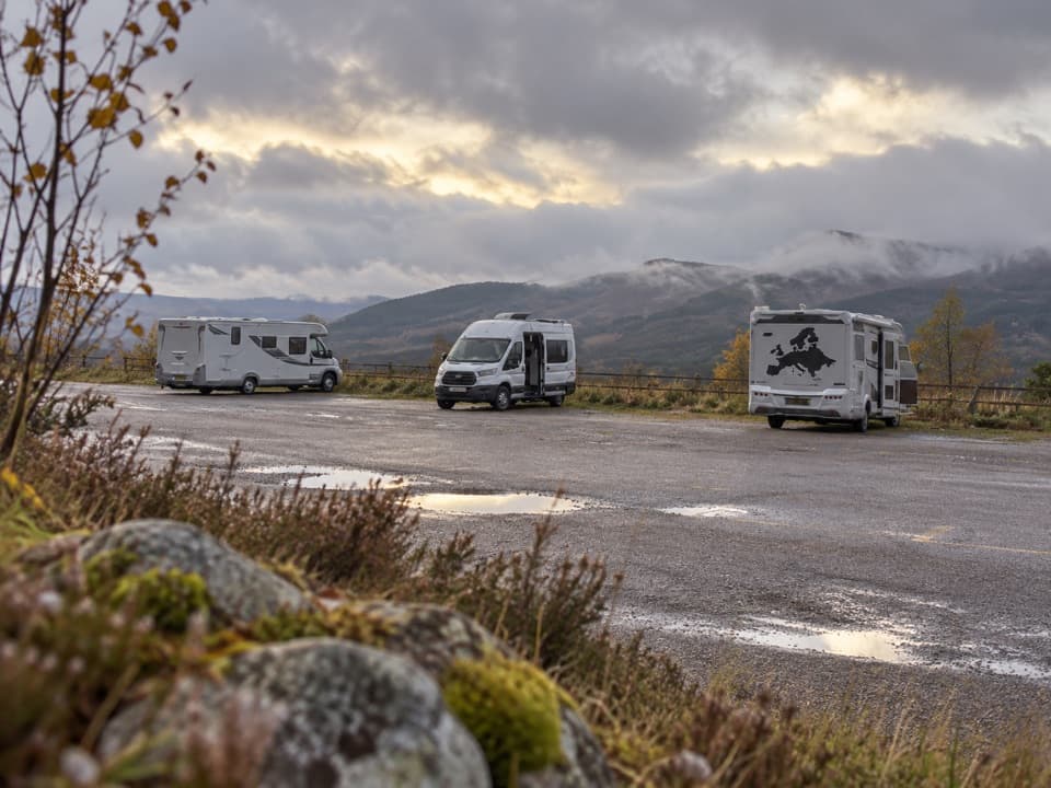 Campground · 1.9 km awayCairngorm Motorhome StopoverWake to Loch Morlich views if your motorhome is self-contained.
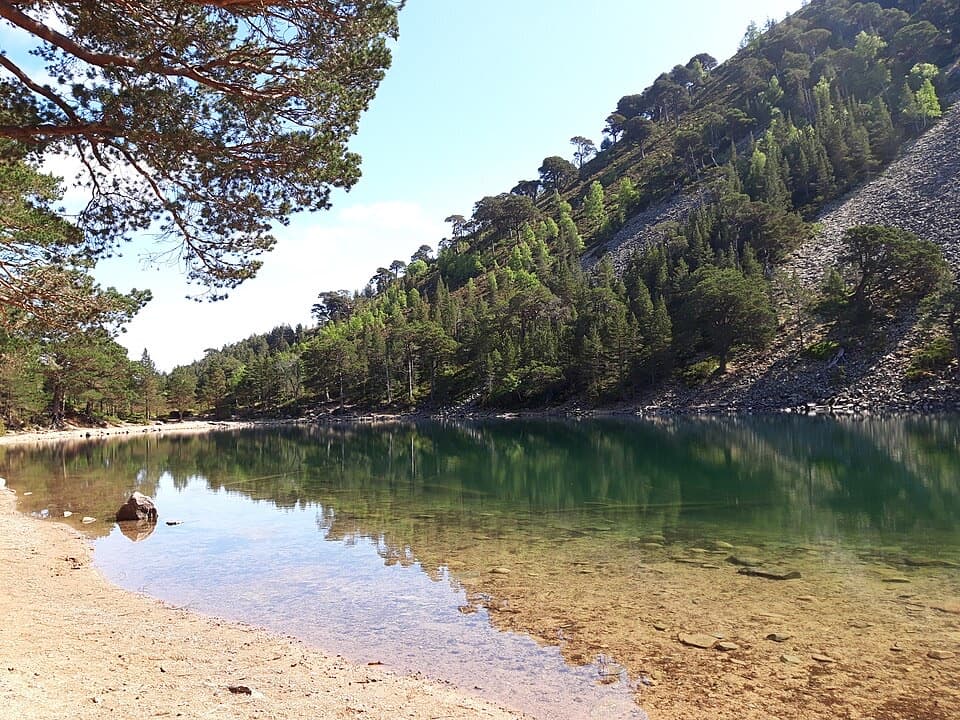 Sight · 2.4 km awayAn Lochan UaineA vivid green loch at the end of a proper woodland walk.
Parkwolf’s Cairngorms ranking

The audio tour guide for the drive, plus offline maps, trails, and wildlife heatmaps for when the signal drops.