Parking
The described access uses roadside parking near Rothiemurchus Camp and Caravan Park at Coylumbridge; capacity is not established. Finish at Linn of Dee car park, so arrange transport between the two ends.

#2 of 260 trails in Cairngorms
Cairngorms National Park, SC
A full Cairngorms crossing over a rough, remote pass.
Overview
Lairig Ghru is a 19-mile (30.5 km) one-way crossing from Coylumbridge to Linn of Dee, with about 810 m of ascent. It runs through pinewoods, a high pass and the headwaters of the River Dee. This is for fit, sure-footed hikers who want a full Cairngorm crossing, not a quick summit. Plan on about 10 hours, though estimates range from 8–12. At the pass, the rough ground and remoteness make the effort greater than the distance suggests. Sort both ends before setting out.
 Parkwolf’s verdictIs this the full crossing for you?
Map & elevation
Plan your hike

The highest, rockiest slopes around here are a summer buffet for grizzly bears.
Cairngorms Tour Guide
Parkwolf is a GPS audio tour guide for Cairngorms National Park. As you drive, it chimes in with what’s ahead: hidden gems, upcoming stops, history, geology, and wildlife, right through your car’s speakers.
See the Cairngorms audio tourRecorded for this trailhead
Coylumbridge and the Lairig Ghru“You're nearing Coylumbridge, a starting point for the Lairig Ghru and gentler Rothiemurchus walks.”
Plays as you drive up to this trailhead in the Parkwolf Cairngorms Tour Guide.
More stories near here in the app
“Fantastic app with many points of information… It’s great to just turn on while you’re driving and it gives you an audio tour of the national Park. We love it!!!!”


Trail guide
Start at Coylumbridge near Rothiemurchus Camp and Caravan Park; the route uses the lane past a cottage toward an old parking area. It ends at Linn of Dee car park, so arrange a second car or return transport, and check the current timetable if you plan to use a bus. There are no food or water services along the crossing. Corrour Bothy is a basic side trip, not a place to resupply.
The first miles follow woodland paths through mature Scots pine beside the river. Cross the Cairngorm Club footbridge, built in 1912, and turn right for the pass at Piccadilly crossroads. Climb through thinning trees to the natural treeline; young pines are regenerating and the pass opens ahead. At Allt Druidh, use the built crossing and ignore the branch for Braeriach. These woods are capercaillie habitat; keep dogs at heel or on a short lead, especially from March through August.
Above Allt Druidh, climb between steep mountain walls to the 833–835 m pass. The roughest kilometre or two crosses boulder moraines, where the path disappears repeatedly; expect slow, careful footwork and navigation. The crossing is exposed, poor visibility raises the stakes, and snow often lingers in winter. For a photo, frame the pass between its scree slopes with bouldery ground in front to show the scale.
Two small lochans called the Pools of Dee sit in the pass; water runs beneath the stones here, marking one source of the River Dee. After the larger pool, keep to the burn’s left bank. A right-hand branch heads into An Garbh Choire, not Linn of Dee. The path improves beyond the stones. For the defining view, include the pools with Cairn Toul behind them.
The route passes Clach nan Taillear, the Stone of the Tailors, then bends around the southern slopes of Càrn a’ Mhaim into Glen Luibeg. The burn crossing can be awkward; a short detour on the left reaches a footbridge. Continue downstream through pine, cross the River Derry footbridge at Derry Lodge, then follow the Glen Lui track and duckboards over wet ground to Linn of Dee.
A side path and bridge lead to Corrour Bothy below Devil’s Point. It is volunteer-maintained and has a composting toilet, but it is a detour, not a service on the main route. Treat it as a basic bothy, not a place to resupply.
Lairig Ghru follows a weakness in the Cairngorms’ granite mass, then glaciers sharpened its walls. The slopes shed scree, and boulder moraines blanket the pass—why the path disappears where navigation matters most.
People have crossed here for centuries, first as cattle thieves and later as drovers moving stock between Strathspey and Deeside. Droving continued until about 1873, and workers once moved summit boulders aside to clear a way. Local legend ties Clach nan Taillear to tailors who died in a blizzard after betting they could cross. “Gloomy Pass” is a common translation, but it may come from an Ordnance Survey error; a local name means “Western Pass.”
Wildlife
 159 sightingsRed DeerMost seen around 7 AMSighting map
 63 sightingsReindeerMost seen around 6 PMSighting map
 102 sightingsOspreyMost seen around 5 PMSighting map
 37 sightingsBlack GrouseMost seen around 4 AMSighting map
 72 sightingsRed GrouseMost seen around 6 PMSighting map
 82 sightingsPine MartenMost seen around 9 PMSighting map
Sighting maps show where each species has been reported across Cairngorms. Wildlife moves, so no sighting is guaranteed.
Keep exploring
 EasyRothiemurchus Forest and the Iron Bridge7.6 km · 2 hr · At the trailheadA gentle pinewood loop to a 1912 bridge over the Am Beanaidh.
 ModerateBeaver Trail, Rothiemurchus7 km · 2.3 hr · 1.4 km awayWatch for beaver signs, then detour for Loch an Eilein’s ruined castle.
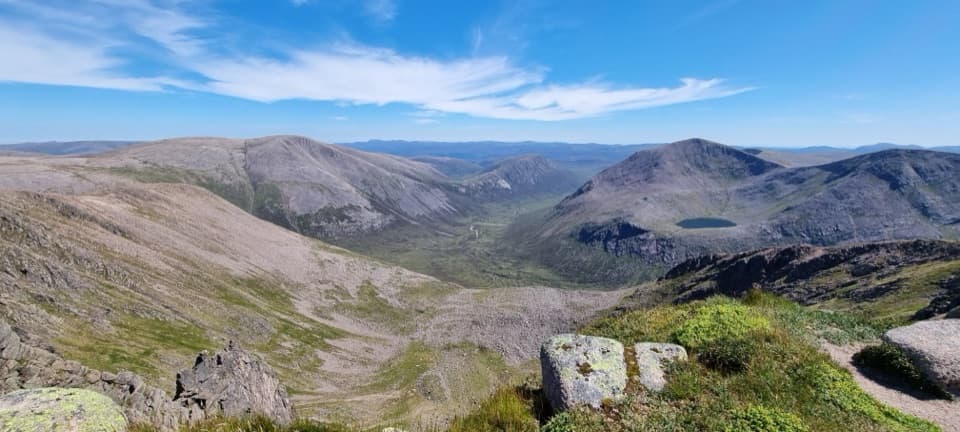 ChallengingBraeriach Circuit from Whitewell26.9 km · 9.5 hr · 2 km awayA full-day circuit over corrie rims and a rough glen return
 EasyAviemore Orbital7.2 km · 2.5 hr · 2.4 km awayA gentle Aviemore loop through woods, town paths and the Spey
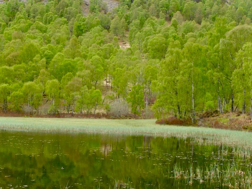 ChallengingBuzzard Trail1.8 km · 1.1 hr · 2.4 km awayA steep woodland loop above Craigellachie’s old reservoir.
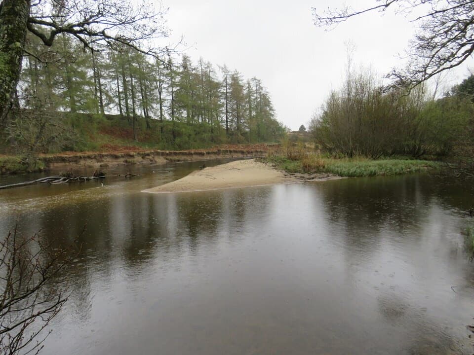 EasyRiverside Park Trail, Aviemore1.4 km · 30 min · 2.5 km awayA gentle River Spey loop for an easy half-hour walk.
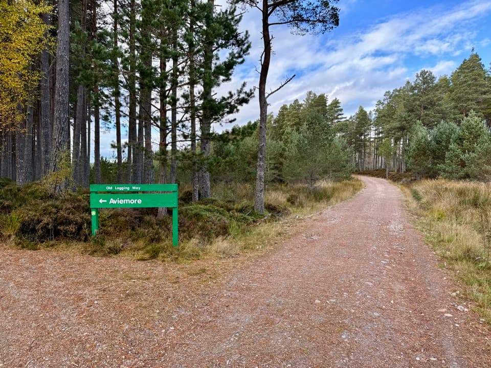 ModerateThe Old Logging Way10.8 km · 4.3 hr · 2.6 km awayA shared forest path from Aviemore to Loch Morlich’s sandy shore.
 ChallengingViewpoint Trail, Craigellachie4.4 km · 2.5 hr · 2.7 km awayA sustained birchwood climb with wide views over Aviemore.
 Campground · 0.1 km awayRothiemurchus Camp and Caravan ParkA pinewood base for tents, caravans and nearby walks.
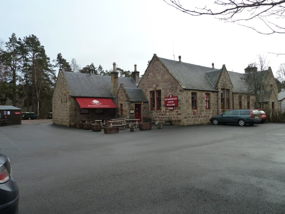 Visitor center · 1.3 km awayRothiemurchus CentreCoffee, estate food and a handy start to local walks.
 Sight · 2.5 km awayStrathspey RailwayA vintage train runs through Speyside to TV-famous Broomhill.
 Sight · 2.9 km awayLoch an EileinAn island castle makes this easy loch loop memorable.
 Sight · 3.3 km awayCairngorm BreweryA small Aviemore taproom for trying local ales and taking favourites home.
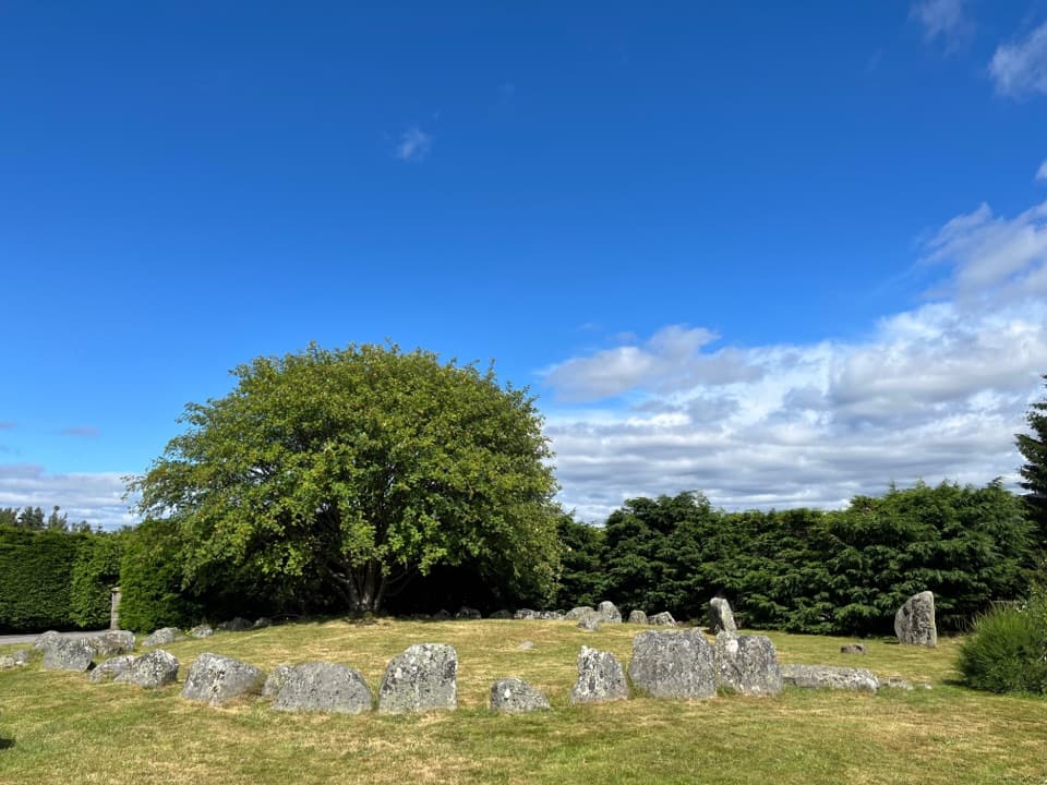 Sight · 3.3 km awayAviemore Ring Cairn and Stone CircleA small prehistoric circle in Aviemore’s unexpected village setting.
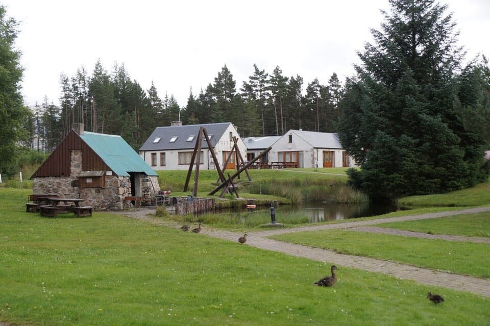 Lodging · 4.3 km awayBadaguish Outdoor CentreA forest base for lodges, heated pods and group camping
 Campground · 4.5 km awayOakwood Caravan & Camping ParkOak-shaded camping, with Aviemore a 20–30-minute walk away.
Parkwolf’s Cairngorms ranking
The audio tour guide for the drive, plus offline maps, trails, and wildlife heatmaps for when the signal drops.




