
Place
Moderate
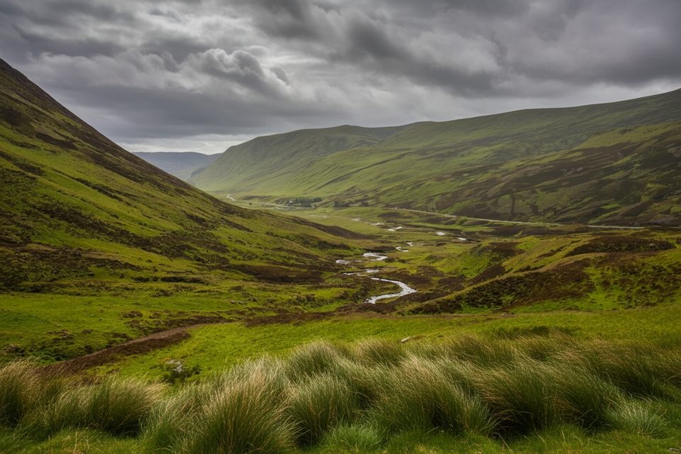
The Cateran Trail is a fully waymarked, circular long-distance route of about 64 miles (103 km) linking the Perthshire and Angus glens, with a brief section touching Cairngorms National Park at Spittal of Glenshee. It’s not a high-mountain epic—think glens, moorland, forests, and farmland stitched together by old drove roads and the very tracks used by historic cattle raiders (the “Caterans”). The result is a calmer, more cultural slice of Highland country that still delivers big, open views—especially around Mount Blair, Strathardle, and Glenshee.
Expect a rolling mix of peaceful glens, moors, ancient woods, and pretty lochans, with river scenery near Blairgowrie. You’ll pass reminders of the area’s turbulent past—like old hut circles and raiding routes—and charming villages including Blairgowrie, Bridge of Cally, Kirkmichael, and Alyth. It’s a very human landscape: pastoral, lived-in, and quietly scenic rather than wild and dramatic.
Plan on 5 days for the full loop, typically broken into five stages of roughly 6–7 hours each. Terrain is varied—muddy minor tracks, forest paths, open moorland, and gentle hill climbs—with one notable ascent to An Lairig gate (648 m). Waymarking is thorough, and many old stiles have been replaced by self-closing gates, which makes life easier after a long day.
Walkable year-round, but spring through autumn is when the trail shines: longer days, greener glens, and fewer weather surprises. Winter is doable for experienced walkers, yet expect short daylight, exposed moorland with wind, and occasional snow or soggy stretches.
Because the route is a loop with frequent villages, you can start anywhere—Blairgowrie is the traditional hub—and you’re never far from civilization. Book accommodation ahead (especially in smaller places like Kirkmichael). Waterproof boots and layers are essential; expect mud in wet spells. The trail is thoroughly waymarked, but a map/guide is smart for less-traveled sections. If you like a little game within the journey, the route features 20 themed geocaches; complete the passport to earn a commemorative geocoin.
If you want a quieter, culturally rich multi-day walk with steady waymarking, village-to-village rhythm, and broad upland views—without committing to technical mountain ground—this is your lane. If your heart is set on high, rocky summits and big Cairngorm plateau drama, this loop will feel too tame; it only brushes the Park at Glenshee and spends most of its mileage outside it.
You’ll share ground with farmland livestock and plenty of birdlife, especially across open moor and along rivers. Keep dogs under close control near stock and during lambing and ground-nesting bird seasons, and always follow local signage.
Start at Blairgowrie (traditional hub) or any village on the loop; use local village parking and follow waymarks to join the circuit.
Expect mud and boggy patches, exposure on open moorland, and livestock on farmland sections. Winter may bring snow, ice, and short days. Keep dogs under close control near stock and during bird nesting season; follow local signage and gates.
Place
Place
Place
Place
Challenging
Challenging
Challenging
Challenging

Parkwolf Tour Guide
