Pros & cons
PROS
- Near-360° panoramas over the Needles and Indian Creek
- Usually quiet and uncrowded compared to park overlooks
- Easy paved drive with parking, vault toilets, and picnic tables
CONS
- No potable water on site
- Very exposed with little shade; hot and windy in summer
Overview
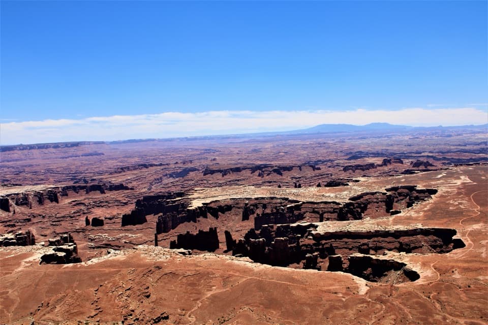
Perched roughly 1,600 feet above the Needles District, this BLM-managed rim promontory sits just outside the park boundary but looks straight into the heart of that sandstone maze. It’s free to visit, the road is well maintained and paved, and the payoff is huge: big-sky vistas in almost every direction with a good chance of having it mostly to yourself.
What You'll See
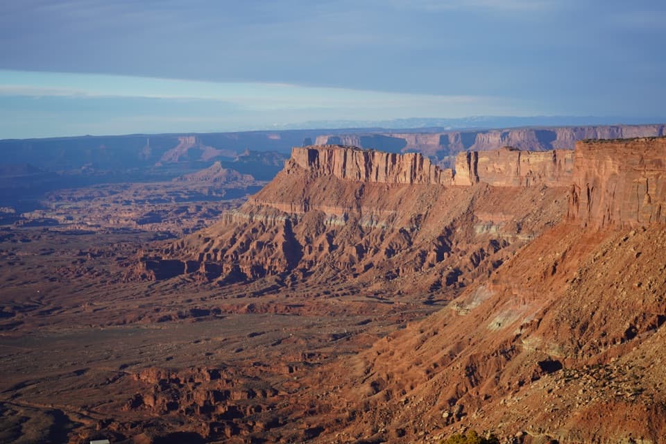
Expect sweeping views of the Needles’ multicolored spires and fins, the Indian Creek country, and distant ranges like the Abajos. The overlook area has multiple rim viewpoints connected by short, easy paths, so you can wander for different angles without committing to a long hike. Photographers rave about the changing light here.
Geology Snapshot
You’re looking across a landscape dominated by Cedar Mesa Sandstone, underlain by the Paradox Salt formation. Ancient salt collapse and relentless erosion sculpted the needles, spires, and canyons you see, with the Colorado River carving the broader system over millions of years.
Amenities and Logistics
Day-use basics are covered: a sizable parking area, vault toilets, and sheltered picnic tables. There’s no drinking water, food, gas, or store—arrive fully self-sufficient and pack out all trash. Short walking paths lead to multiple viewpoints; this is a lookout, not a route down into the canyons. The site is remote and cell service can be spotty.
Vibe and Crowd Level
Guides consistently describe Needles Overlook as serene and often uncrowded—much less frenetic than the busier park districts. It’s a great reset stop when the main overlooks feel hectic.
Best Time to Visit
Open 24 hours, this spot shines at sunrise and sunset when low-angle light sets the sandstone aglow. Weekdays and early mornings tend to be the quietest. Midday can be harsh—both light and heat. Crowd patterns show Friday afternoons are the busiest, while most other times are mellow. Most visitors spend up to an hour here.
Pair It Up
If you’ve got time, roll the same scenic road to other Canyon Rims viewpoints (like Anticline) for different perspectives—easy add-ons that make the drive even more worth it.
Good to Know
Bring plenty of water, sun protection, and a wind layer; the rim can be breezy. Facilities are minimal by design, and there’s no on-site camping (campgrounds are elsewhere in the recreation area).
Where it is
38.2600, -109.6962Tips for Needles Overlook
- 01Bring all the water you’ll need; none is available on site.
- 02Aim for sunrise or sunset for the best light and fewest people.
- 03Fuel up and stock snacks before leaving US‑191; there are no services.
- 04It’s exposed and can be windy—pack sun protection and a light jacket.
- 05Combine with nearby Canyon Rims overlooks for a fuller rim‑country loop.
Amenities
Near Needles Overlook
All places →All trails →
7.2 mi awayThe Needles Visitor CenterPermits, maps, and intel for the quiet Needles backcountryVisitor Center · Exhibit
7.5 mi awayRoadside Ruin TrailQuick loop to an Ancestral Puebloan granary near the visitor centerEasy · 0.3 mi · 20 min
7.5 mi awayRoadside RuinTiny loop to a 700-year-old granary under a sandstone alcoveTrailhead · Parking
7.7 mi awayCave Spring TrailShort loop with ladders, rock art, and a shady desert springEasy · 0.6 mi · 45 min
7.8 mi awayCave SpringShort loop with ladders, cowboy camp, rock art, and a green alcoveTrailhead · Parking
8.6 mi awayWhite Rim OverlookShort walk to sweeping White Rim and Monument Basin viewsTrailhead · Parking
8.6 mi awaySlickrock Foot TrailShort slickrock loop with four big-view overlooks and zero shade.Moderate · 2.4 mi · 2 hr
8.6 mi awayPothole Point TrailShort slickrock loop with living potholes and big Needles viewsEasy · 0.6 mi · 30 min