Parking
Boat access only at Prisoners Harbor; there is no drive-up trailhead or vehicle parking. Island Packers passengers must be accompanied by staff; private boaters need a valid TNC landing permit.
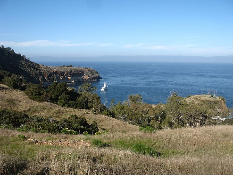
#8 of 48 trails in Channel Islands
Channel Islands National Park, CA
A rugged 4.2-mile out-and-back to Pelican Bay.
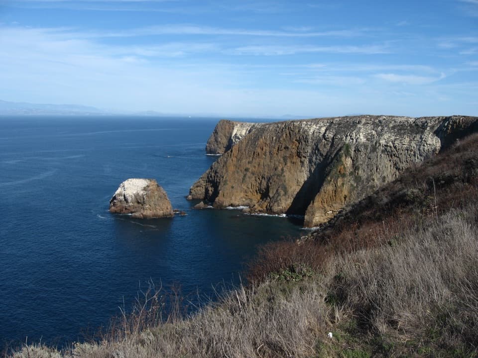
Photo: hakkun, CC BY-SA 3.0, via Wikimedia Commons
Overview
Map & elevation
Plan your hike

The highest, rockiest slopes around here are a summer buffet for grizzly bears.
Channel Islands Tour Guide
Parkwolf is a GPS audio tour guide for Channel Islands National Park. As you drive, it chimes in with what’s ahead: hidden gems, upcoming stops, history, geology, and wildlife, right through your car’s speakers.
See the Channel Islands audio tour“Fantastic app with many points of information… It’s great to just turn on while you’re driving and it gives you an audio tour of the national Park. We love it!!!!”


Trail guide
The Pelican Bay Trail is a rugged 4.2-mile out-and-back from Prisoners Harbor to a cliff above Pelican Bay on Santa Cruz Island. The marked route runs 2.1 miles each way; the National Park Service lists the return at a rounded 4 miles. Allow about three hours for the full walk. It is a moderate-to-strenuous hike through canyons and coastal slopes, not a flat waterfront stroll. I’d choose it when you want a substantial island walk and can arrange the required access.
Pelican Bay is on The Nature Conservancy’s land. The National Park Service permits this hike for Island Packers passengers accompanied by Island Packers staff, or for private boaters with a valid TNC landing permit. The broader island hiking rules do not allow hikers to cross onto TNC property without permission. Island Packers warns that its escorted outing varies with group pace and available time; visitors should not count on reaching the bay. This entry describes the full marked route, so confirm the trip’s turnaround before planning around the endpoint.
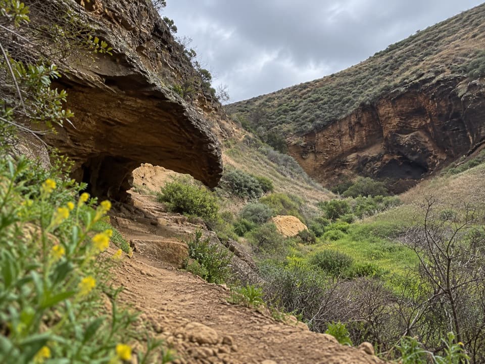
The numbered route starts near the Prisoners Harbor landing, where the first marker overlooks a coastal wetland restoration area, then winds through Cañada del Puerto and its steep side slopes. Early markers look down into the canyon and its streamside trees. Farther on, the trail climbs and drops through coastal sage scrub and chaparral, then reaches oak woodland and closed-cone pine forest. Follow the numbered markers and stay on the trail.
Five plant communities make this walk feel bigger than its mileage: grassland, coastal sage scrub, chaparral, oak woodland and bishop pine forest. Spring brings native bulbs and bright yellow giant coreopsis; the trail guide also describes blue ceanothus blooms in March and April. In the shaded canyons, look for ferns and island oaks. Santa Cruz Island foxes and island scrub-jays may appear along the route; both are found only on Santa Cruz Island.
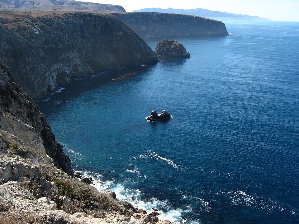
One overlook faces Chinese Harbor, named for Chinese abalone fishermen who worked on the islands in the 1800s. The Chumash used Santa Cruz Island chert for tools and traded shell beads made from olivella shells. Please leave plants, animals and archaeological material where they are. At Pelican Bay, the Eaton family once ran a resort for vacationers and fishermen; it closed in 1937. Concrete stairs are among the reminders, but the resort buildings are gone. The marked route ends on a cliff above the bay, a popular anchorage, with the coast and rocky headland opening into view.
There is no drive-up trailhead or vehicle parking. Visitors arrive by boat at Prisoners Harbor. Bring all food and enough water for the day: there is no potable water, store or restaurant there. A vault toilet and picnic tables are near the beach and pier. Dogs are not allowed. Stay on the trail, pack out everything, and clean shoes, clothing and gear before hiking to avoid carrying seeds, insects or disease onto the island.
Wildlife
 2,278 sightingsIsland FoxMost seen around 6 PMSighting map
 284 sightingsHumpback WhaleMost seen around 9 AMSighting map
 79 sightingsBlue WhaleMost seen around 7 AMSighting map
 102 sightingsGrey WhaleMost seen around 8 AMSighting map
 373 sightingsCalifornia Sea LionMost seen around noonSighting map
 106 sightingsBald EagleMost seen around 5 PMSighting map
Sighting maps show where each species has been reported across Channel Islands. Wildlife moves, so no sighting is guaranteed.
Keep exploring
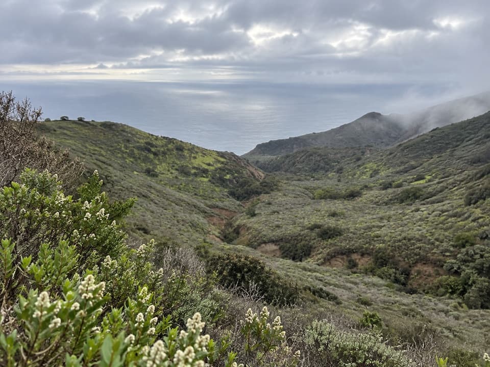 ChallengingSouth Side Overlook Hike5 mi · 3.5 hr · 0.1 mi awayOn clear days, the climb ends with three islands on the horizon.
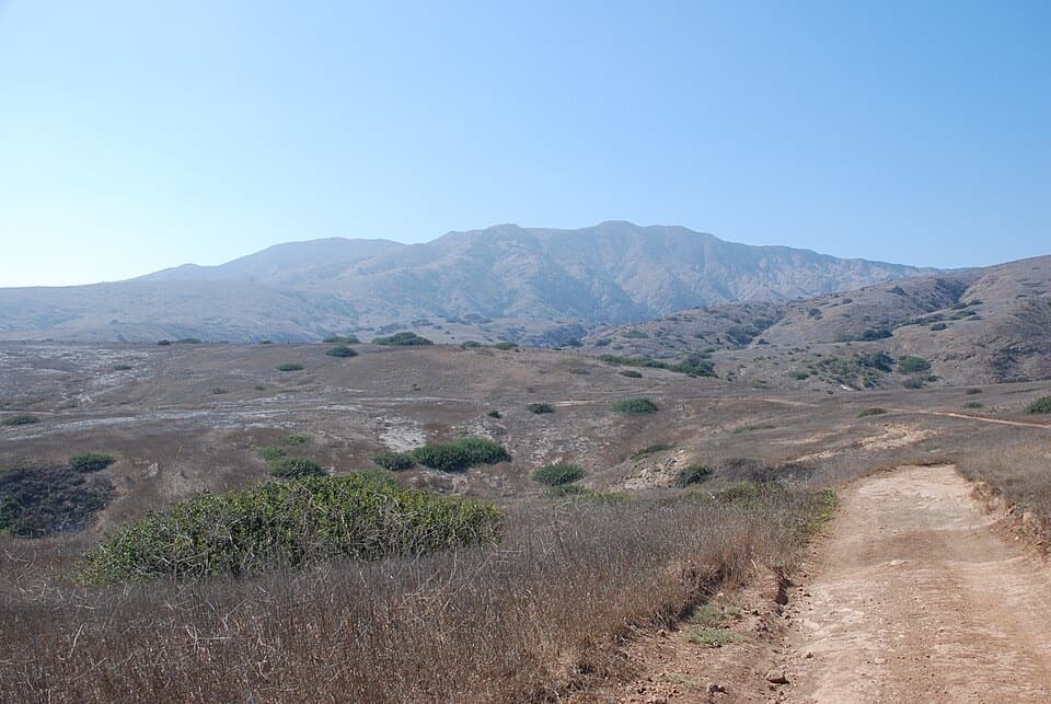 ChallengingPrisoners Harbor to Scorpion Anchorage Traverse13 mi · 10 hr · 0.1 mi awayA strenuous 13-mile crossing from Prisoners Harbor to Scorpion Anchorage.
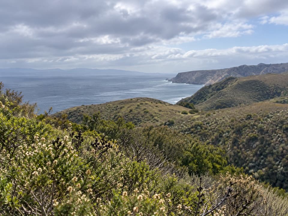 ModerateDel Norte Trail Overlook Hike3 mi · 2 hr · 0.1 mi awayA short island climb ends at a northeast-coast overlook.
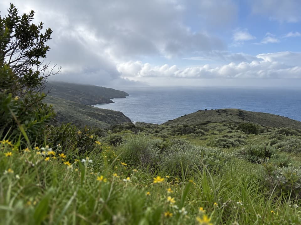 ChallengingDel Norte Campground Hike7 mi · 4.5 hr · 0.1 mi awayA rugged island crossing to an oak-grove backcountry camp.
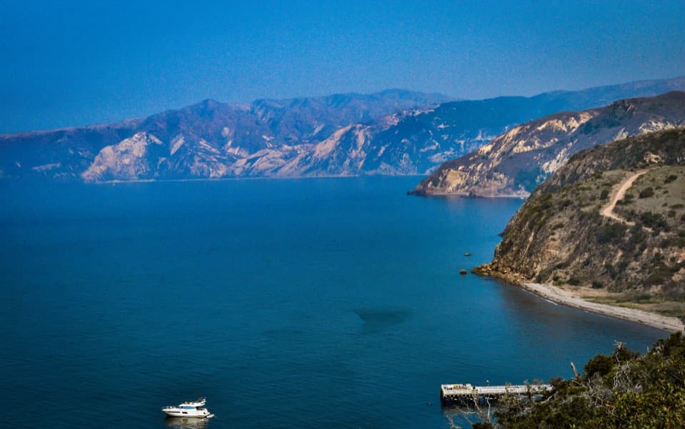 EasyEagle Canyon Overlook Hike0.5 mi · 30 min · 0.1 mi awayA short climb earns a high view over Prisoners Harbor.
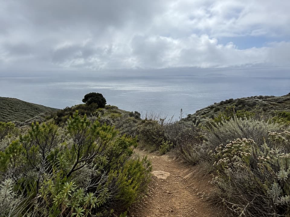 ChallengingDel Norte / Navy Road Loop8.5 mi · 5 hr · 0.2 mi awayA rugged island loop with long views over Santa Cruz’s south side.
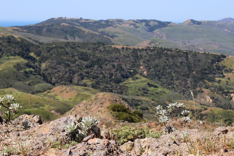 ChallengingChina Pines Trail18 mi · 11 hr · 0.2 mi awayAn 18-mile trek to the Santa Cruz Island pine.
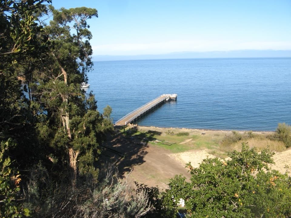 EasyPrisoner’s Harbor Hike0.5 mi · 30 min · 0.2 mi awayAn easy half-mile links ranch history, restored wetland, and a harbor view.Sight · 0.1 mi awayHarvey's LookoutA small boat-watch cabin above Prisoners Harbor.Sight · 0.2 mi awayPrisoner's HarborA boat landing where history meets a restored coastal wetland.
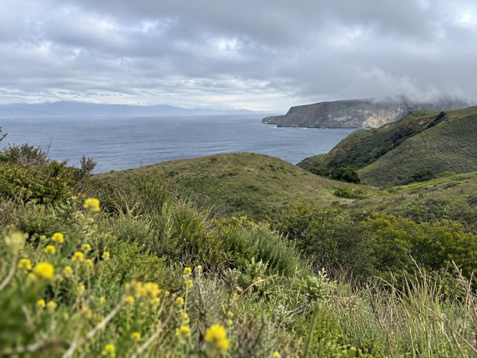 Sight · 0.7 mi awayDel Norte Trail OverlookA northeast-coast view worth the moderate walk from Prisoners Harbor.
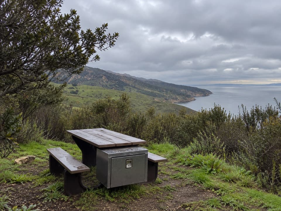 Campground · 1.4 mi awayDel Norte Backcountry CampgroundA coastal ridge camp worth the strenuous backpack in.Sight · 1.6 mi awayPelican BayA protected anchorage reached by a staff-escorted island hike.
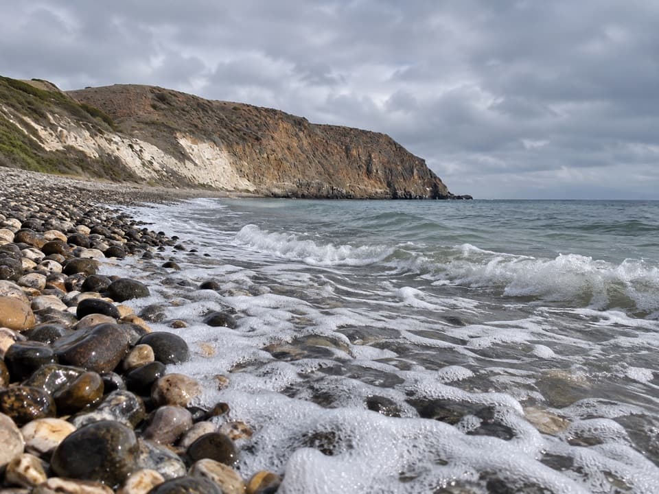
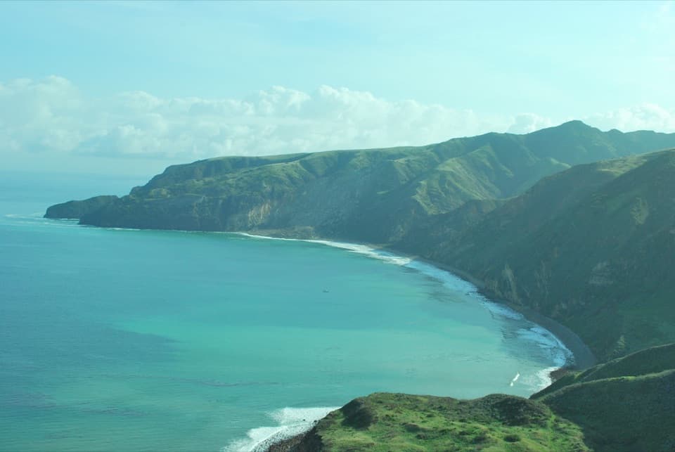 Beach · 3.7 mi awayChinese HarborA cobblestone harbor beach at the end of a demanding island hike.Sight · 4.5 mi awayChina PinesTwo pine forms share one grove, reached by a strenuous 18-mile hike.
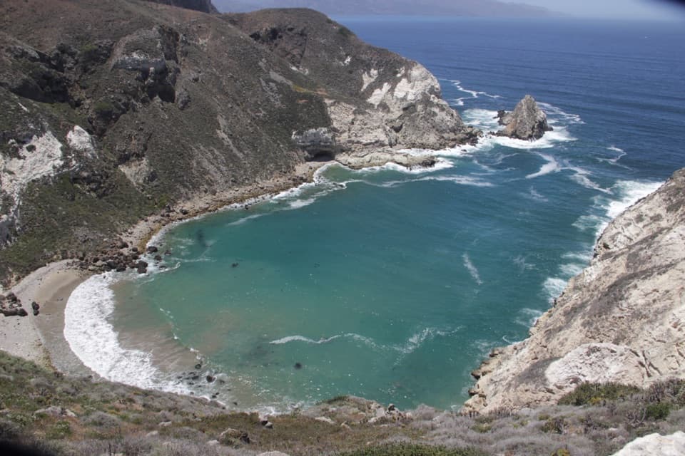 Sight · 5.8 mi awayPotato Harbor OverlookAn exposed five-mile hike above a cove shaped like a potato.
Parkwolf’s Channel Islands ranking

The audio tour guide for the drive, plus offline maps, trails, and wildlife heatmaps for when the signal drops.