Parking
Start at Smugglers Cove on Santa Cruz Island. From Scorpion Beach, NPS maps list the Smugglers Road access to the Cove as 7.5 miles round trip.
Channel Islands National Park, CA
A strenuous climb to a remote island anchorage overlook.
Overview
Yellowbanks Hike is a 3-mile out-and-back from Smugglers Cove to an overlook above Yellowbanks Anchorage. The National Park Service rates it strenuous. The sampled profile climbs nearly 500 feet above the start before dropping toward the coast; allow about 2½ hours for this spur alone. Come for the open anchorage view if a serious climb fits your day.
 Parkwolf’s verdictIs this the hike for you?
Map & elevation
Plan your hike

The highest, rockiest slopes around here are a summer buffet for grizzly bears.
Channel Islands Tour Guide
Parkwolf is a GPS audio tour guide for Channel Islands National Park. As you drive, it chimes in with what’s ahead: hidden gems, upcoming stops, history, geology, and wildlife, right through your car’s speakers.
See the Channel Islands audio tour“Fantastic app with many points of information… It’s great to just turn on while you’re driving and it gives you an audio tour of the national Park. We love it!!!!”


Trail guide
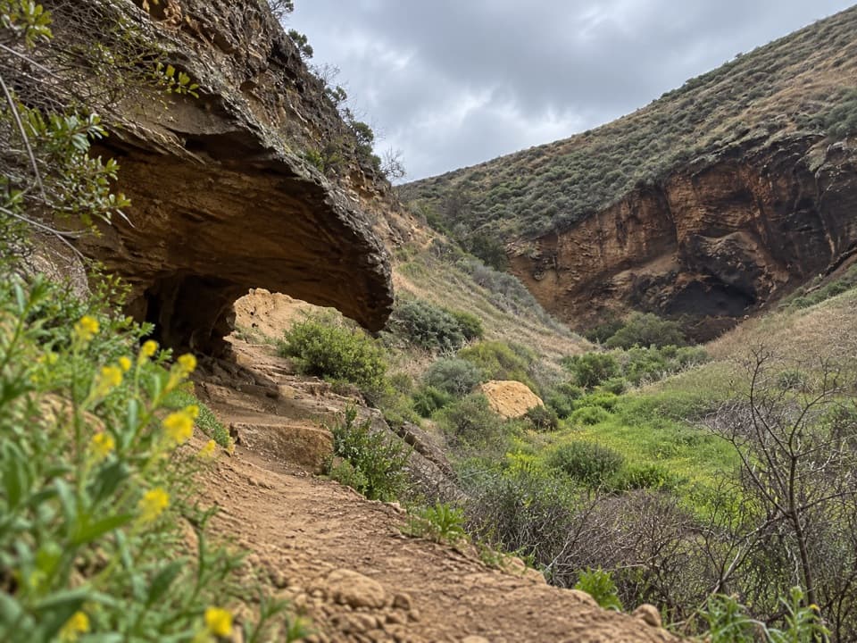
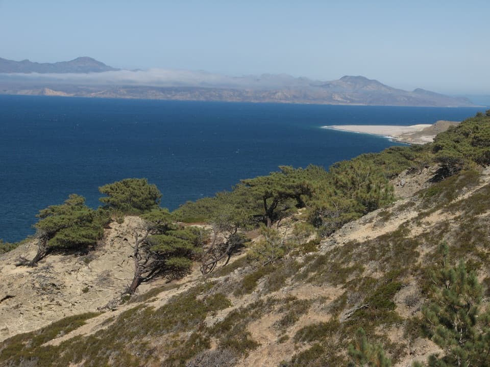
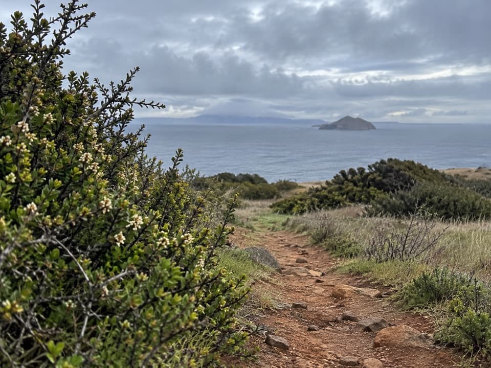
From Smugglers Cove, the path climbs inland through coastal scrub, arcs across an open slope and drops again toward the water. Turn around at the overlook. A separate unmaintained route reaches the remote beach; it is not part of this hike's 3 miles, and there is no maintained beach descent in the mapped route.
Yellowbanks takes its name from pale yellow Monterey shale along the shore. From the overlook, the banks and blue water are the view to stop for. The cobble beach below belongs to the separate, unmaintained continuation.
The listed distance begins at Smugglers Cove. If you walk in from Scorpion Anchorage, NPS lists the Smugglers Road access to the Cove as 7.5 miles round trip from Scorpion Beach. Add that to the Yellowbanks spur for roughly 10.5 miles of walking altogether. There is no water at the Cove; carry enough for both legs. Pets are not allowed on the park islands.
Wildlife
 2,278 sightingsIsland FoxMost seen around 6 PMSighting map
 284 sightingsHumpback WhaleMost seen around 9 AMSighting map
 79 sightingsBlue WhaleMost seen around 7 AMSighting map
 102 sightingsGrey WhaleMost seen around 8 AMSighting map
 373 sightingsCalifornia Sea LionMost seen around noonSighting map
 106 sightingsBald EagleMost seen around 5 PMSighting map
Sighting maps show where each species has been reported across Channel Islands. Wildlife moves, so no sighting is guaranteed.
Keep exploring
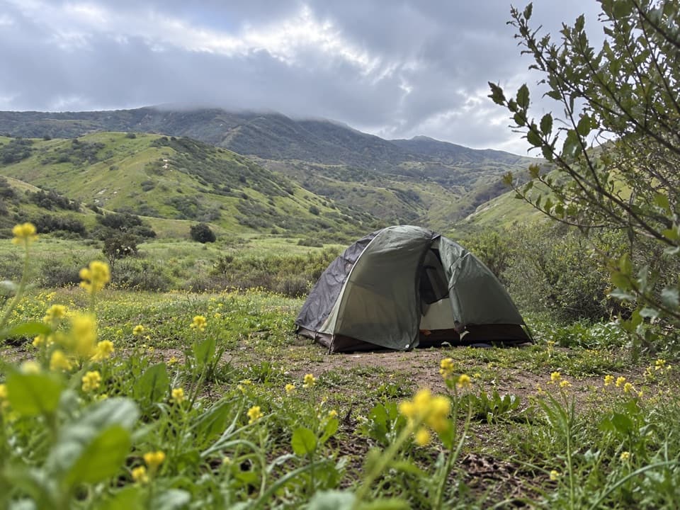 ModerateScorpion Canyon Loop4.5 mi · 3 hr · 2.1 mi awayOpen island hills, Anacapa views, and a rocky canyon descent.
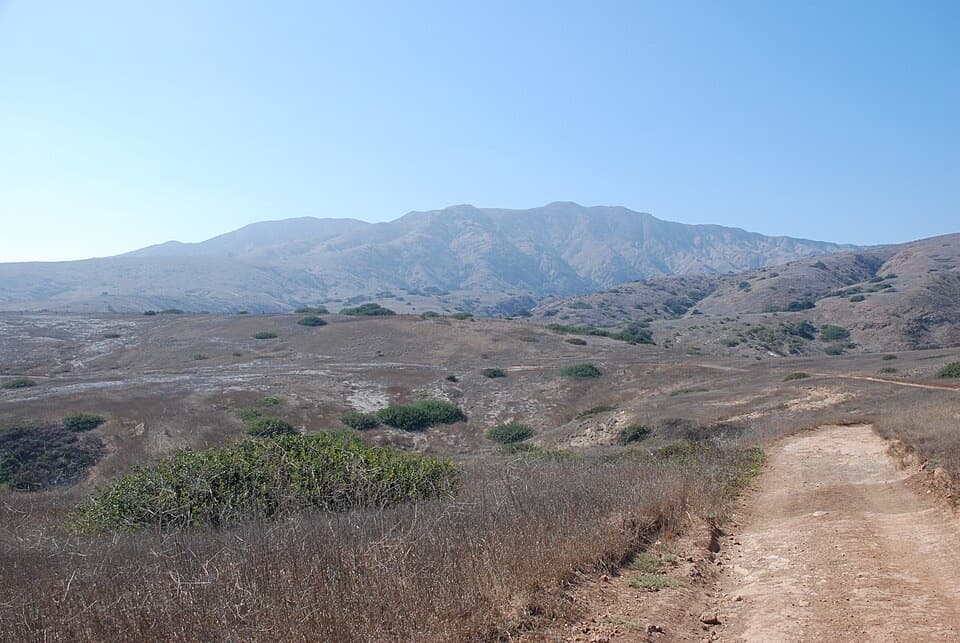 ChallengingMontañon Ridge Loop Hike8.8 mi · 5 hr · 2.1 mi awayAn unmaintained ridge loop with big views across Santa Cruz Island.
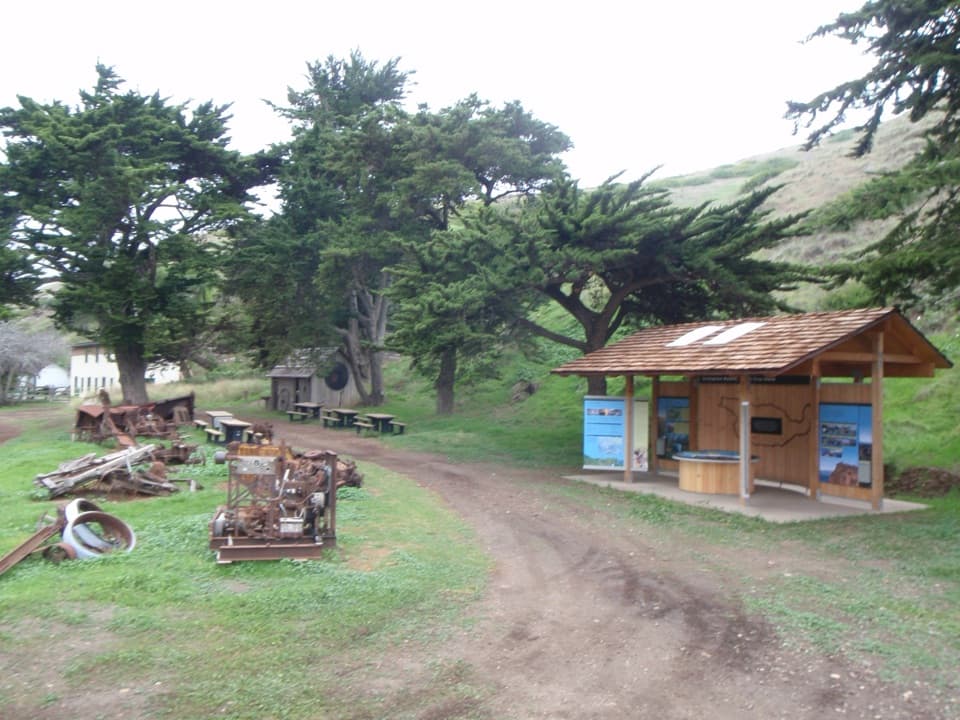 EasyHistoric Scorpion Ranch Hike0.5 mi · 30 min · 2.1 mi awayA quick history stop at an old island ranch.
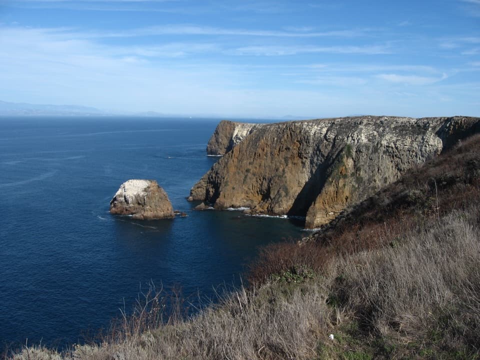 ModeratePotato Harbor Overlook Hike5 mi · 3.5 hr · 2.1 mi awayA steep climb earns you a cove framed by tall sea cliffs.
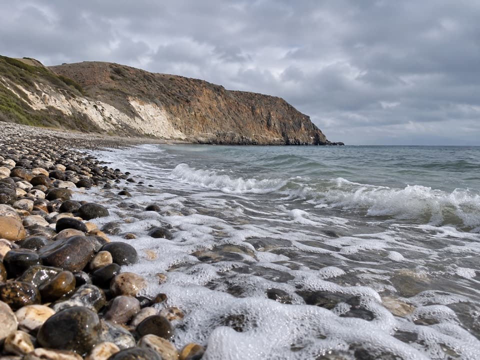 ChallengingSmuggler’s Cove Hike7.5 mi · 5 hr · 2.1 mi awayA strenuous island road walk to a cobble beach and olive grove.
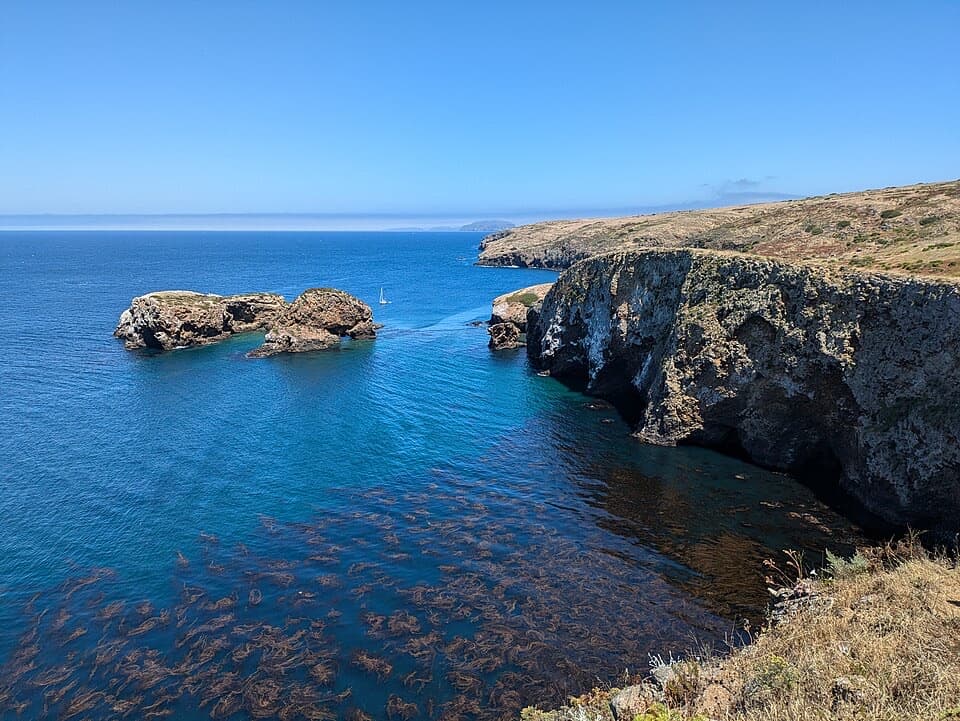 ModerateScorpion Bluffs Overlook Hike1.5 mi · 1.3 hr · 2.1 mi awayA short climb to Scorpion Rock and the eastern island bluffs.
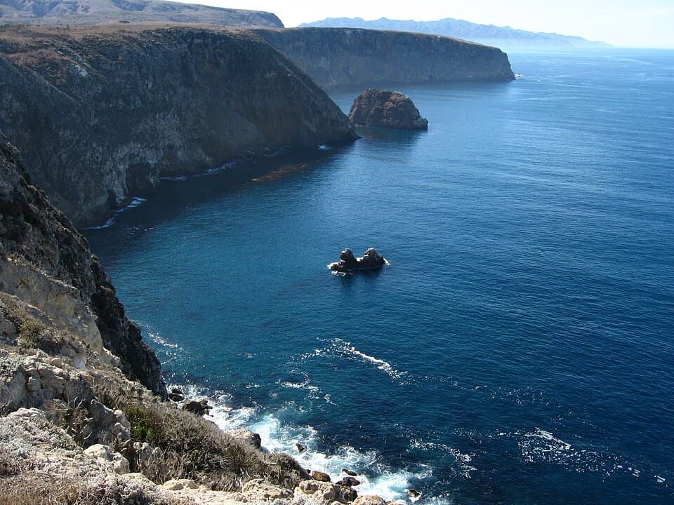 ModerateCavern Point Loop Hike2 mi · 1.5 hr · 2.1 mi awayCoastal bluffs, offshore rocks, and a chance to spot whales.
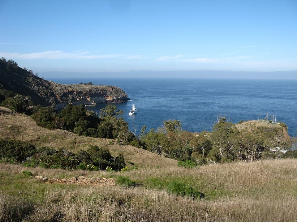 ChallengingPelican Bay Trail4.2 mi · 3 hr · 8.1 mi awayA rugged 4.2-mile out-and-back to Pelican Bay.
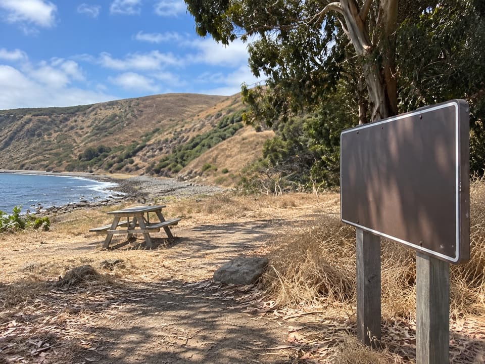 Beach · 0.1 mi awaySmuggler's CoveA long hike leads to a quiet cove with a smuggling-era past.
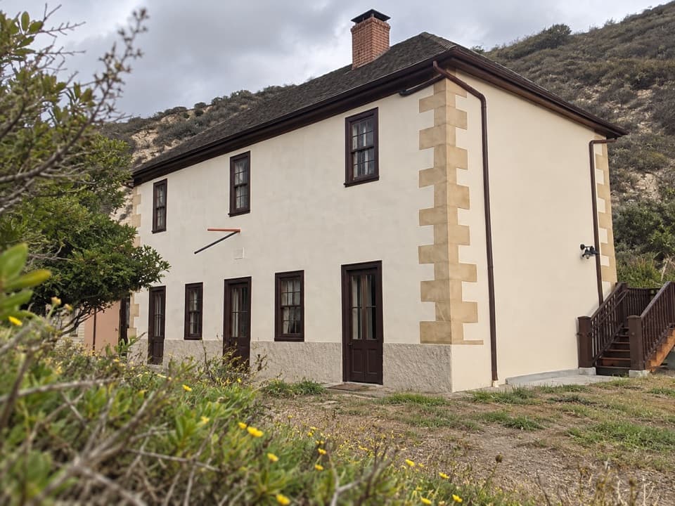 Sight · 0.2 mi awaySmuggler's Ranch HouseAn 1889 ranch house tied to Santa Cruz Island's farming past.
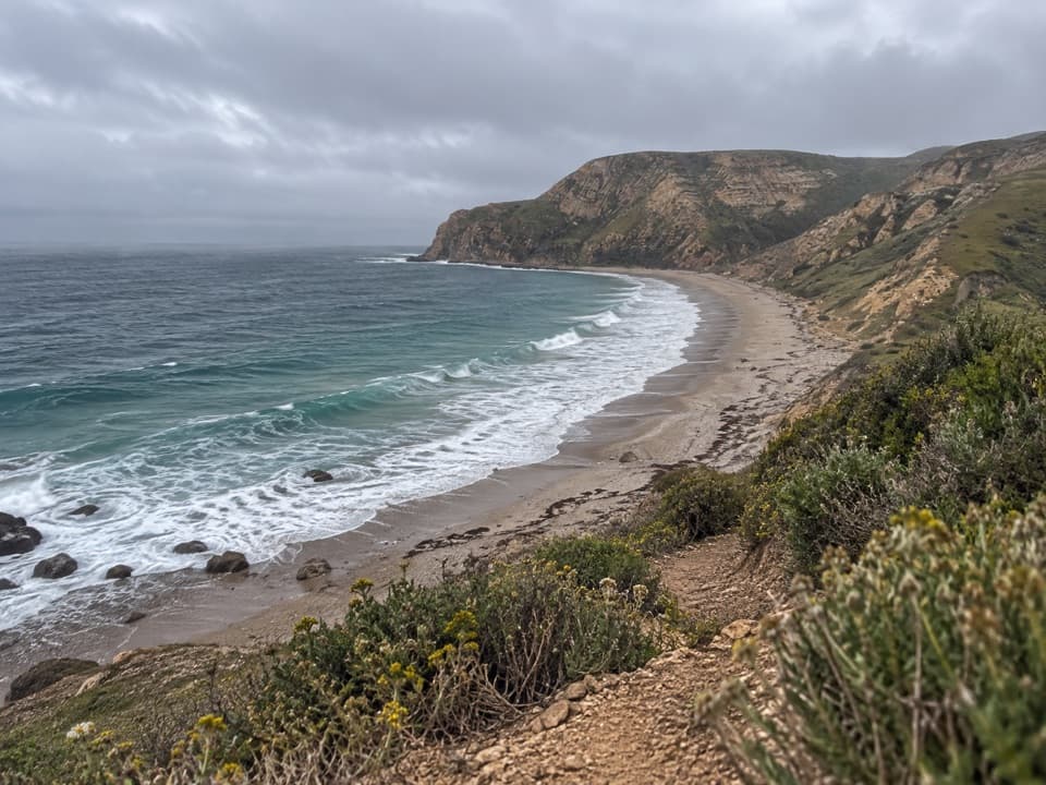 Beach · 0.7 mi awayYellowbanksYellow cliffs frame a remote cobble beach on Santa Cruz Island.
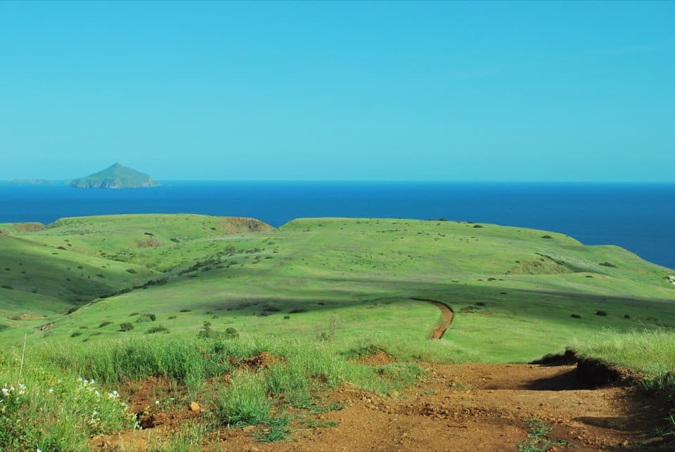 Sight · 1.5 mi awaySan Pedro PointA hard-earned view from Santa Cruz Island's easternmost headland.
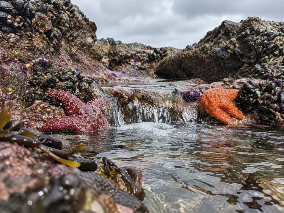 Beach · 1.6 mi awayLittle Scorpion Beach EastA rocky cove for cautious sea-kayak landings.
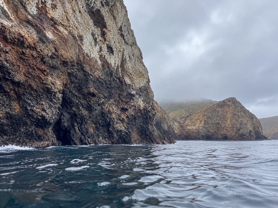 Beach · 1.8 mi awayLittle Scorpion Beach WestA secluded sandy cove, half a mile by kayak.
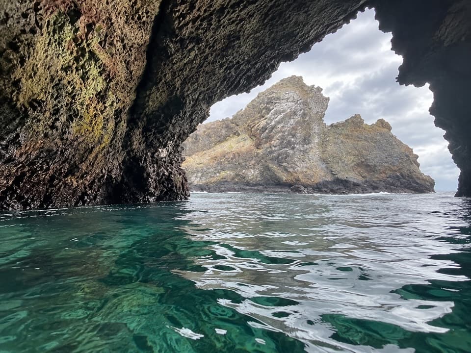 Sight · 1.8 mi awayScorpion Rock Cave (Green Room)A kayak cave with a tight exit and a green glow.
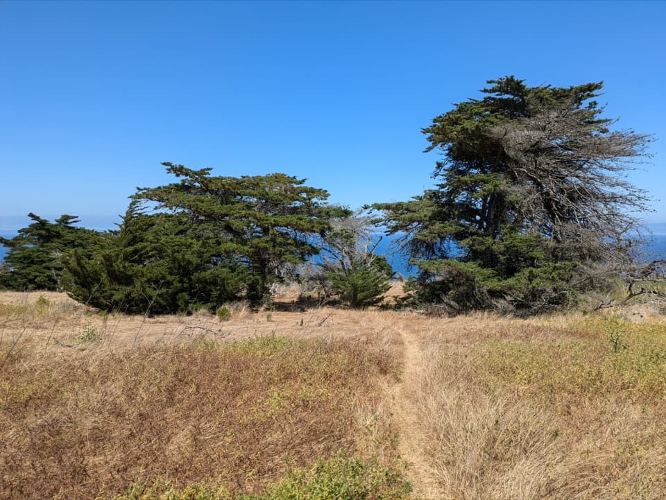 Sight · 1.8 mi awayDelphine's GroveEarly-1900s cypresses survived without water on a ranching island slope.
Parkwolf’s Channel Islands ranking
The audio tour guide for the drive, plus offline maps, trails, and wildlife heatmaps for when the signal drops.