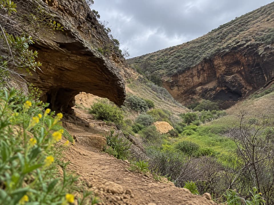
Parking
Start at the Scorpion Beach landing beside the Scorpion Anchorage pier. This boat-access island has no road parking or vehicle access; walk through the Scorpion Ranch area to join the circuit.
#10 of 48 trails in Channel Islands
Channel Islands National Park, CA
An unmaintained ridge loop with big views across Santa Cruz Island.
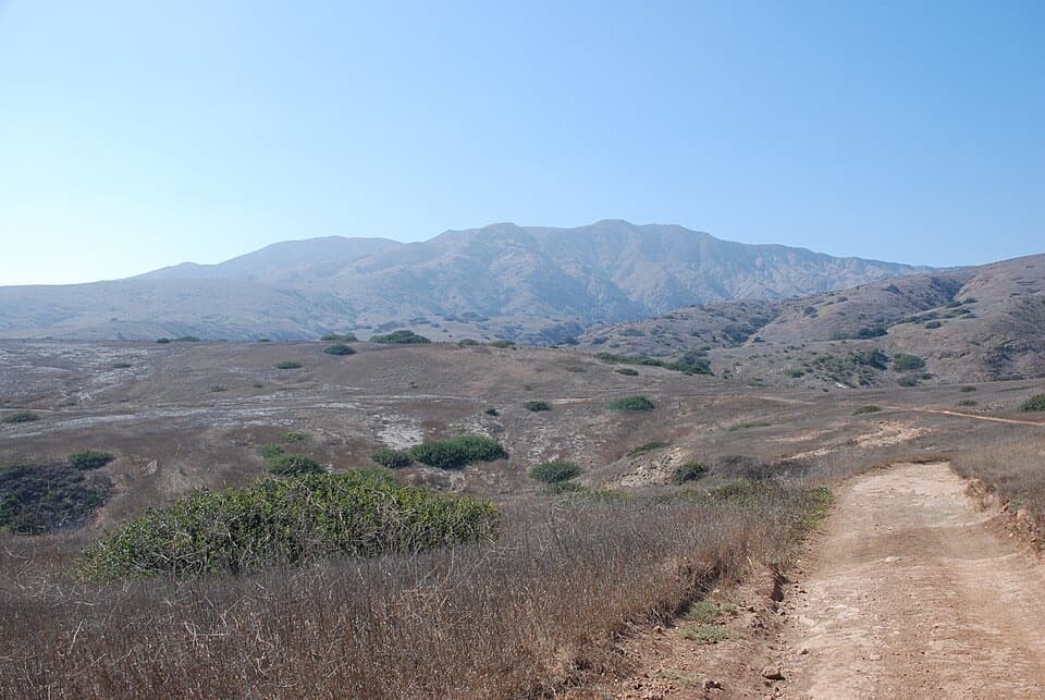
Photo: Adavyd, CC BY-SA 4.0, via Wikimedia Commons
Overview
Map & elevation
Plan your hike

The highest, rockiest slopes around here are a summer buffet for grizzly bears.
Channel Islands Tour Guide
Parkwolf is a GPS audio tour guide for Channel Islands National Park. As you drive, it chimes in with what’s ahead: hidden gems, upcoming stops, history, geology, and wildlife, right through your car’s speakers.
See the Channel Islands audio tour“Fantastic app with many points of information… It’s great to just turn on while you’re driving and it gives you an audio tour of the national Park. We love it!!!!”


Trail guide
Montañon Ridge Loop is a demanding 8.8-mile circuit from Scorpion Beach: follow the coast toward Cavern Point and Potato Harbor, cross the unmaintained Montañon ridge paths, then return through Scorpion Canyon to Scorpion Anchorage. Allow about five hours for hiking and stops. The park’s current trail list gives 10 miles from the beach, while the connected mapped line and recorded circuits are closer to 8.8–9 miles. The difference is unexplained, so use the longer figure if you have a boat to meet. This is a real backcountry hike for experienced walkers, not just a longer Potato Harbor stroll.
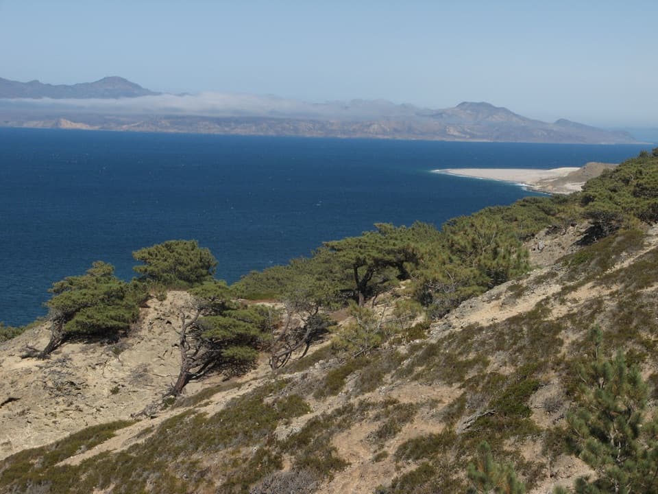
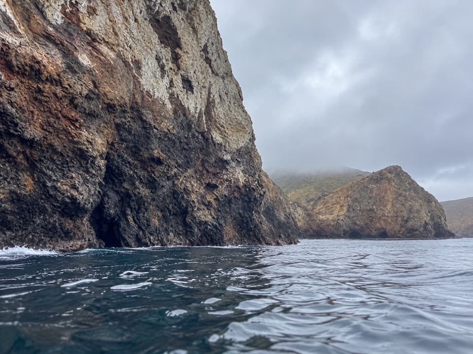
Start at the pier and pass through the Scorpion Ranch area toward Cavern Point. The coastal leg brings open views over coastal cliffs and the Pacific; North Bluff continues west to Potato Harbor. The overlook is the payoff, not a way down to the shore: there is no land access to the harbor. Keep back from the edge, where the cliff face can be crumbly and unstable.
Past Potato Harbor the well-defined coastal path gives way to rugged mountain tread through open scrub. The ridge route is rocky, exposed and less distinct than the signed paths near Scorpion. It climbs and drops across the interior, with broad views opening toward the island and Pacific. Narrow animal paths can look tempting but are uneven and unsafe; keep to the established line and carry a topographic map. There is little shade once you leave the lower valley, so start with enough water and energy for the whole crossing.
The loop follows the ridge toward North Bluff and then bends back through Scorpion Canyon. El Montañon Peak, at 1,808 feet, is a separate continuation at the ridge junction, not the end point of this circuit. Adding that summit changes the route and mileage; don’t count it as a quick side trip when planning around your return boat.
The return through Scorpion Canyon brings you back into lower, more sheltered country. This is where hikers have a chance to spot the endemic island scrub-jay. The first leg passes through the Scorpion Ranch area, whose complex dates to the late 1800s; the historic ranch house now holds a visitor center, and the blacksmith shop and farm implements are still part of the ranch area. It is a worthwhile look before or after the hike, but there is no food service on the loop.
This is a boat-access trailhead, with no road parking at the start. Carry all the water and food you need and pack your rubbish back out; do not count on a refill along the backcountry route. Bring a partner, stay on designated trails and roads, and keep within park land at the western boundary. Poison oak, jumping cholla, ticks and scorpions are all listed hazards. Pets are not allowed on the island trails, and service animals require a permit. Fast hikers have completed the loop in about four hours, but that pace leaves little time for photographs; five hours is a sounder allowance.
Wildlife
 2,278 sightingsIsland FoxMost seen around 6 PMSighting map
 284 sightingsHumpback WhaleMost seen around 9 AMSighting map
 79 sightingsBlue WhaleMost seen around 7 AMSighting map
 102 sightingsGrey WhaleMost seen around 8 AMSighting map
 373 sightingsCalifornia Sea LionMost seen around noonSighting map
 106 sightingsBald EagleMost seen around 5 PMSighting map
Sighting maps show where each species has been reported across Channel Islands. Wildlife moves, so no sighting is guaranteed.
Keep exploring
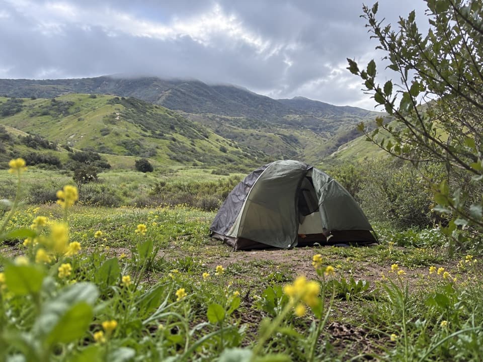 ModerateScorpion Canyon Loop4.5 mi · 3 hr · At the trailheadOpen island hills, Anacapa views, and a rocky canyon descent.
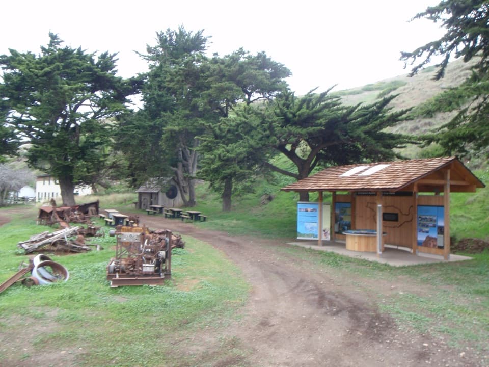 EasyHistoric Scorpion Ranch Hike0.5 mi · 30 min · At the trailheadA quick history stop at an old island ranch.
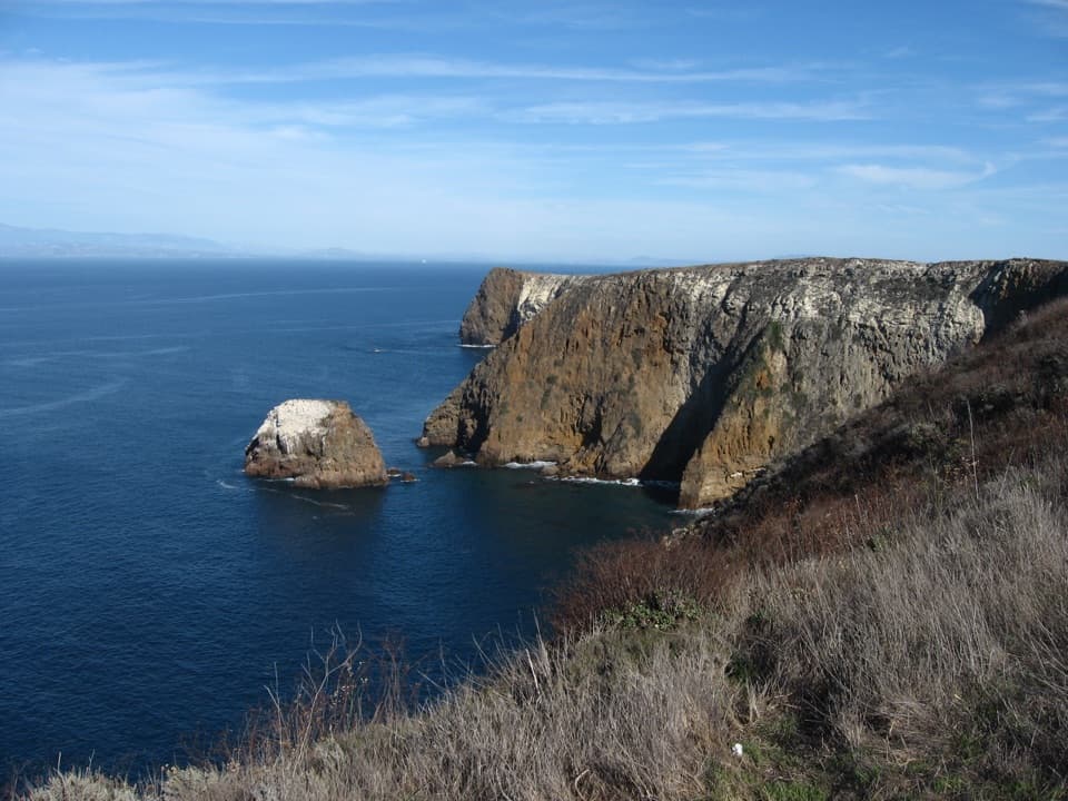 ModeratePotato Harbor Overlook Hike5 mi · 3.5 hr · At the trailheadA steep climb earns you a cove framed by tall sea cliffs.
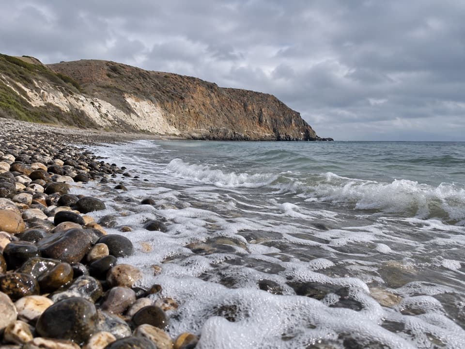 ChallengingSmuggler’s Cove Hike7.5 mi · 5 hr · At the trailheadA strenuous island road walk to a cobble beach and olive grove.
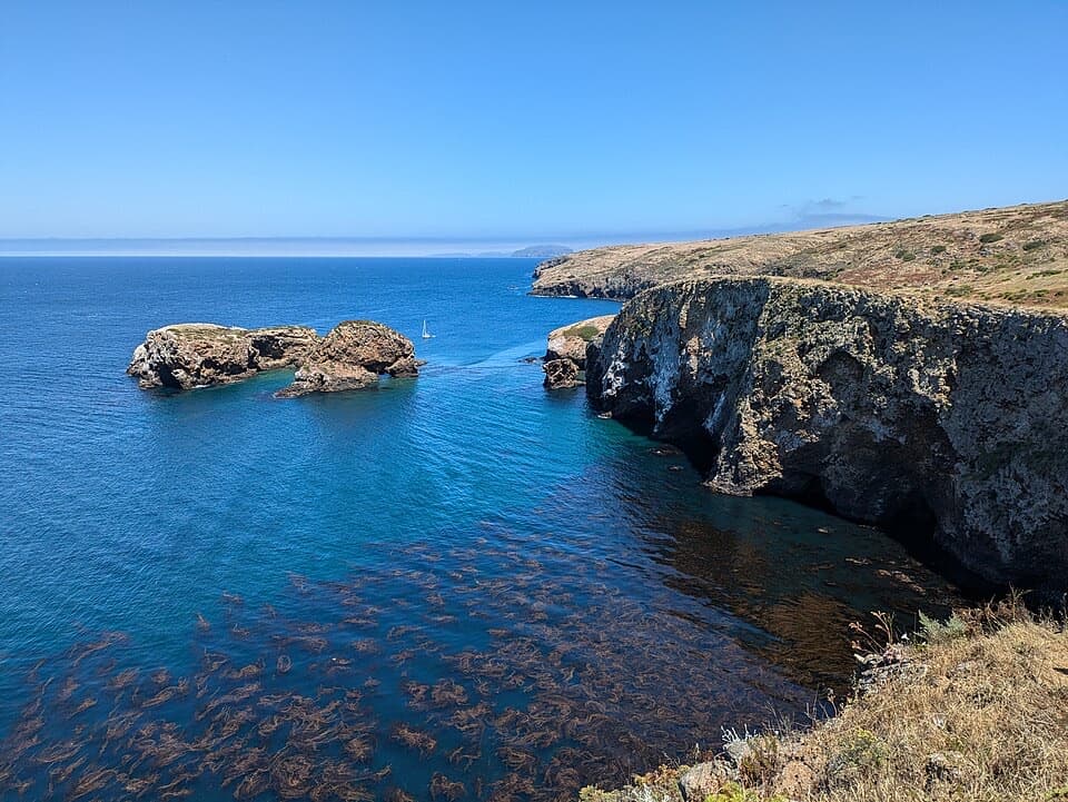 ModerateScorpion Bluffs Overlook Hike1.5 mi · 1.3 hr · At the trailheadA short climb to Scorpion Rock and the eastern island bluffs.
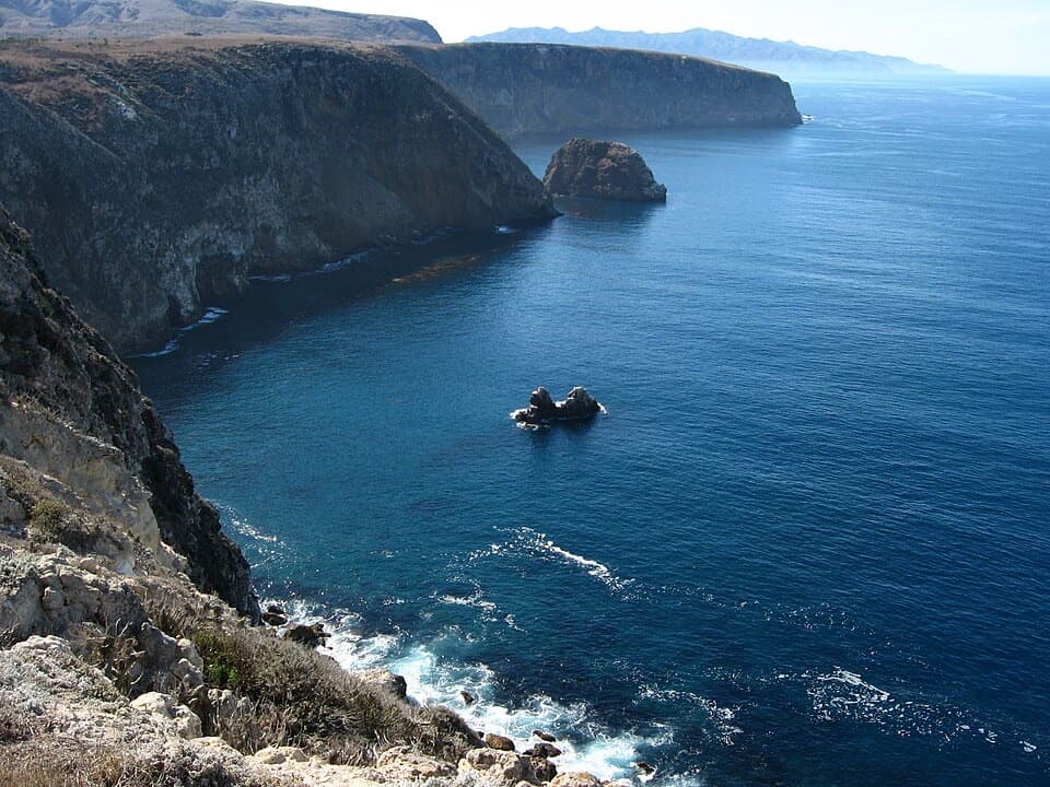 ModerateCavern Point Loop Hike2 mi · 1.5 hr · 0.1 mi awayCoastal bluffs, offshore rocks, and a chance to spot whales.
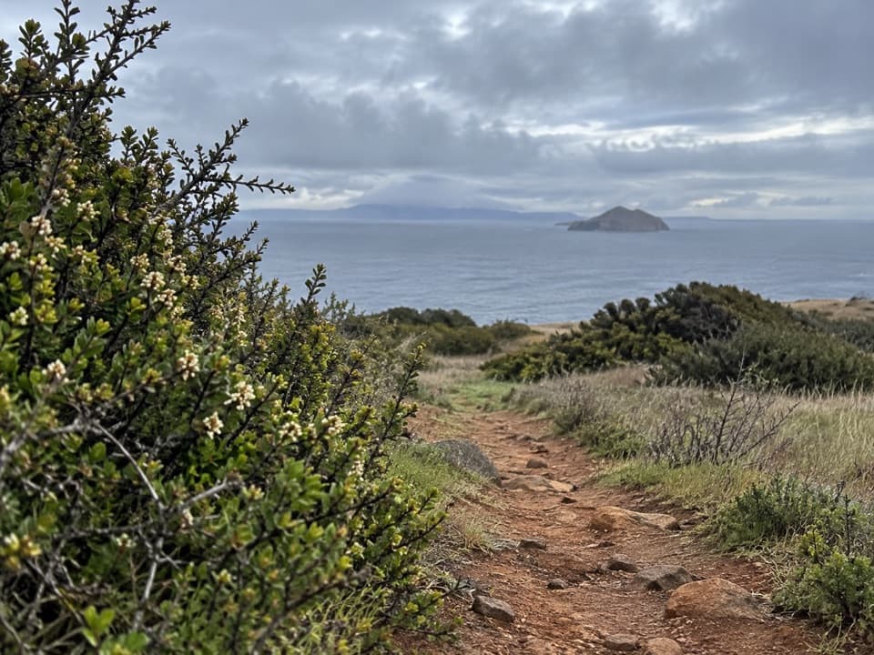 ChallengingYellowbanks Hike3 mi · 2.5 hr · 2.1 mi awayA strenuous climb to a remote island anchorage overlook.
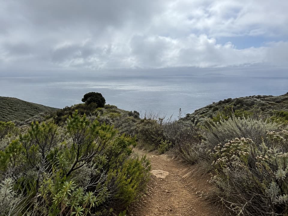 ChallengingDel Norte / Navy Road Loop8.5 mi · 5 hr · 7.6 mi awayA rugged island loop with long views over Santa Cruz’s south side.
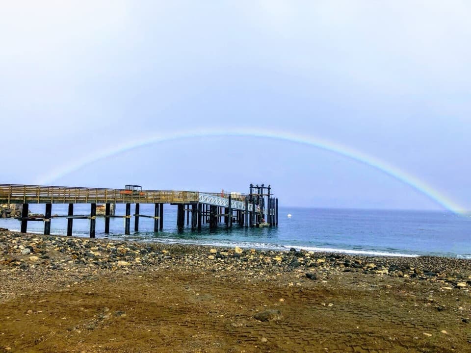 Beach · 0.1 mi awayScorpion Anchorage and BeachA mix of beach, hiking and kayaking unfolds from the pier.Visitor center · 0.1 mi awayScorpion Ranch Visitor Center and Historic RanchMeet the island's past in the old ranch house visitor center.
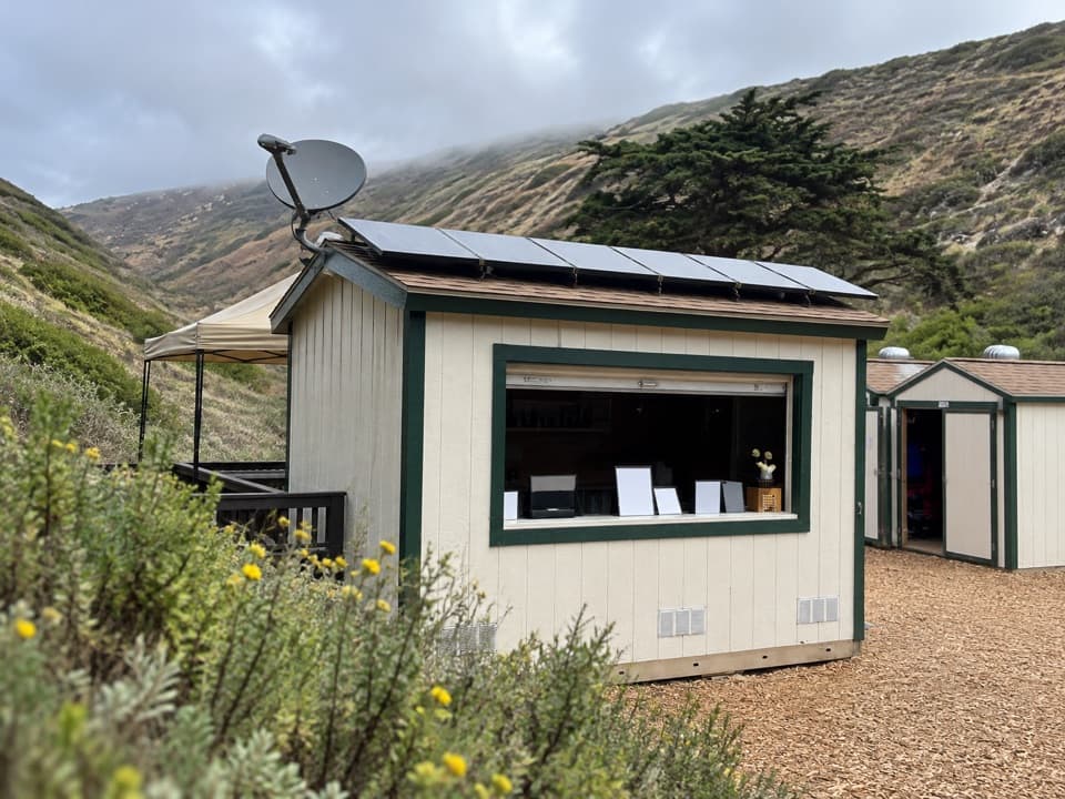 Store · 0.2 mi awayChannel Islands Adventure Company at Scorpion AnchorageGuided sea-cave paddles and snorkel trips from the island landing.
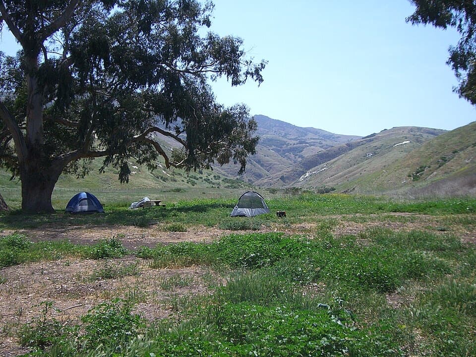 Campground · 0.3 mi awayScorpion Canyon CampgroundEucalyptus shade, foxes nearby, and a half-mile haul from the boat.Sight · 0.3 mi awayScorpion Rock OverlookA seabird bluff with Scorpion Rock just offshore.
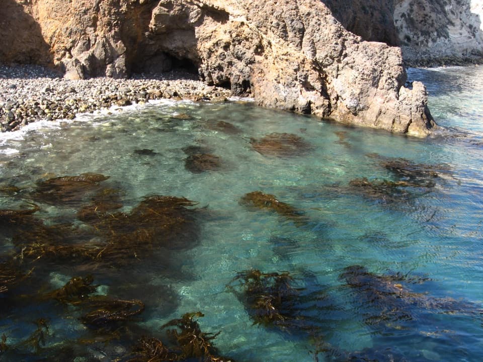 Sight · 0.3 mi awayL CavePaddle through a north-facing cave to a kelp-lined exit.
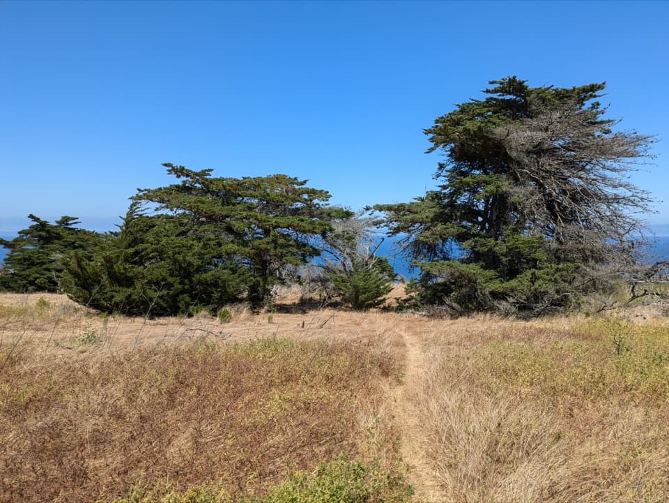 Sight · 0.3 mi awayDelphine's GroveEarly-1900s cypresses survived without water on a ranching island slope.
 Beach · 0.5 mi awayLittle Scorpion Beach WestA secluded sandy cove, half a mile by kayak.
Parkwolf’s Channel Islands ranking

The audio tour guide for the drive, plus offline maps, trails, and wildlife heatmaps for when the signal drops.