Parking
Start at the Bonita Creek Picnic Area parking. The route ends at Faraway Ranch Picnic Area; if your car is back at Bonita Creek, retrace the same path.
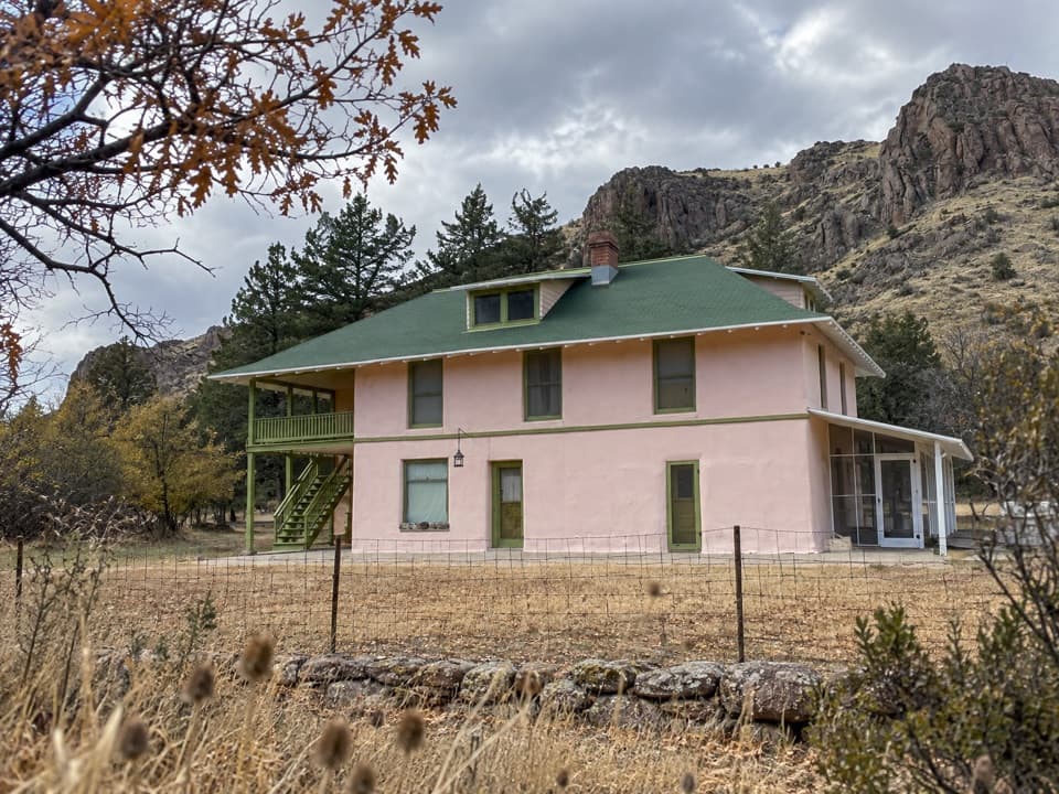
Chiricahua National Park, AZ
A short creek walk to the historic Faraway Ranch grounds.
Overview
Map & elevation
Plan your hike

The highest, rockiest slopes around here are a summer buffet for grizzly bears.
Chiricahua Tour Guide
Parkwolf is a GPS audio tour guide for Chiricahua National Park. As you drive, it chimes in with what’s ahead: hidden gems, upcoming stops, history, geology, and wildlife, right through your car’s speakers.
Recorded for this trailhead
Bonita Creek Picnic Area“You're coming up on Bonita Creek Picnic Area, a useful stop for lunch and an easy stretch of the legs. The level, paved loop is just a fifth of a mile and is wheelchair accessible.”
Plays as you drive up to this trailhead in the Parkwolf Chiricahua Tour Guide.
More stories near here in the app
“Fantastic app with many points of information… It’s great to just turn on while you’re driving and it gives you an audio tour of the national Park. We love it!!!!”


Trail guide
Bonita Creek Trail is a roughly 0.6-mile point-to-point walk between Bonita Creek and Faraway Ranch picnic areas, following the usually dry creek. The park's current map labels it 0.6 mile; another park description rounds it to a half mile. Allow 30 to 60 minutes for an easy visit. If your car is back at Bonita Creek, walk back the way you came for roughly 1.2 miles total. I'd pick this for a brief creekside stroll with a historic destination, not for a big water-side hike.
The route is gentle and follows lower Bonita Creek through grasses and patches of tree shade. The map describes Bonita Creek as partly paved, while a hiker reports packed dirt and gravel on the creekside walk; the exact surface change isn't clear, so expect a mix.
Bonita Creek is usually dry, though it can carry water after heavy winter rain. The park highlights migrating birds, deer, coatimundi and javelina along the creek. Those are possibilities rather than promised sightings, but the riparian strip makes this a good short birding stop.
The walk finishes at Faraway Ranch Picnic Area beside the Faraway Ranch Historic District. If you want to keep going, the separate Silver Spur Meadow route makes a longer walk toward the Visitor Center; it isn't part of this 0.6-mile connector. Dogs are allowed on leash, and no reservation is needed; the regular park entrance fee may apply.
Wildlife
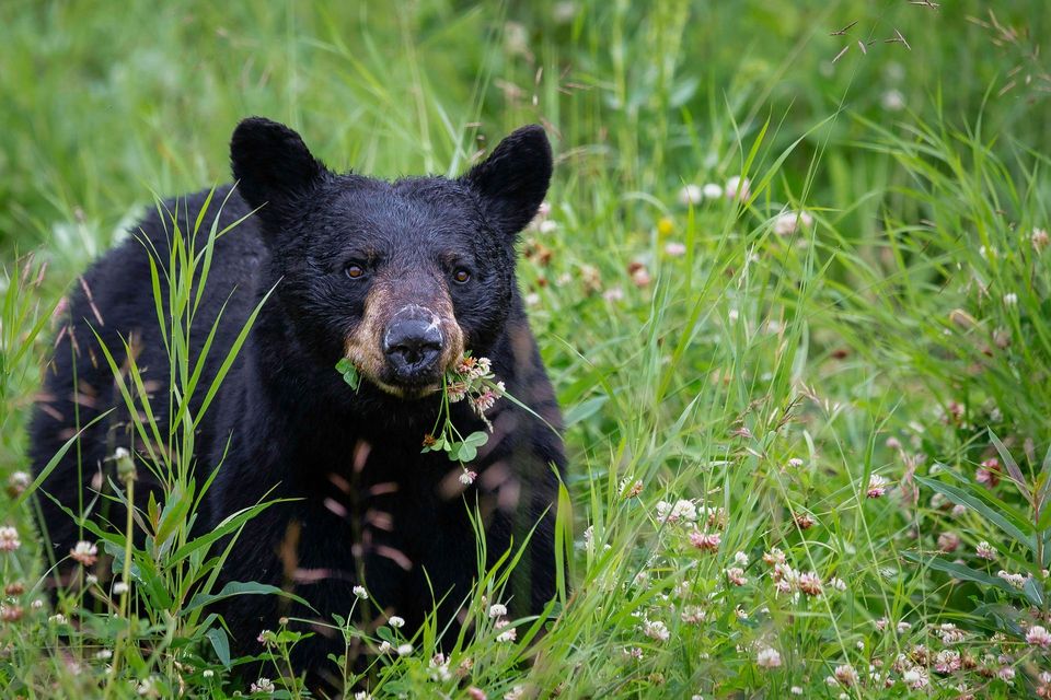 20 sightingsBlack BearMost seen around 7 AMSighting map
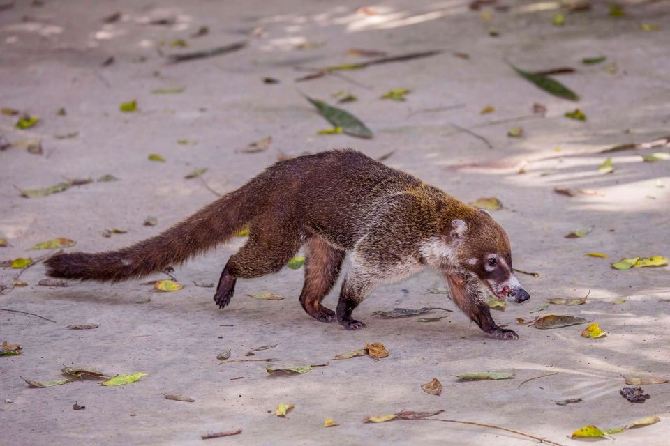 150 sightingsWhite-nosed CoatiMost seen around 9 AMSighting map
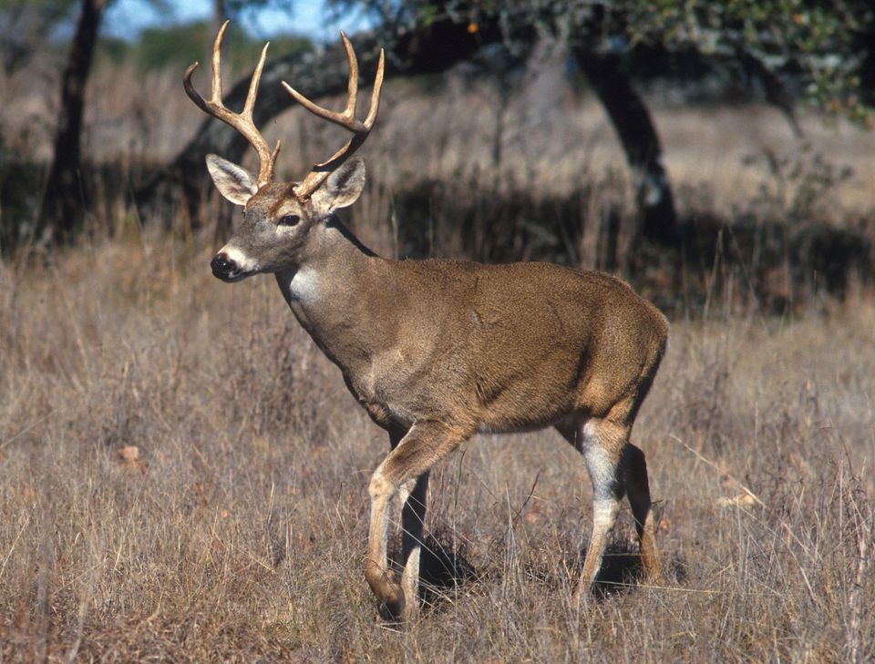 184 sightingsWhite-tailed DeerMost seen around 7 AMSighting map
 22 sightingsMojave RattlesnakeMost seen around 6 PMSighting map
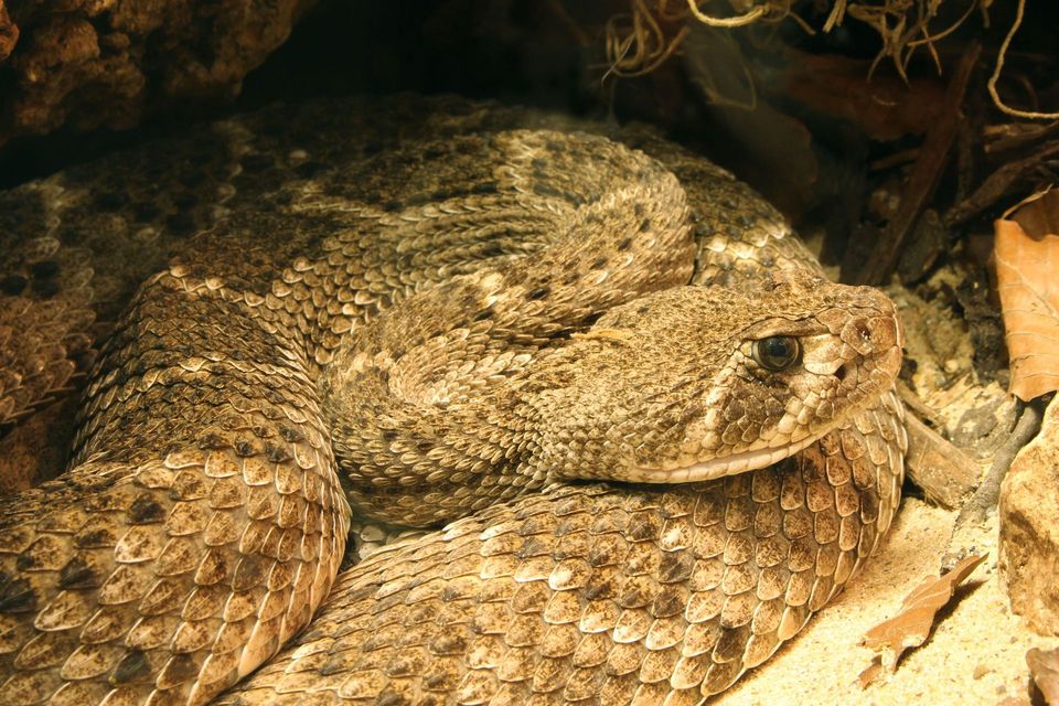 16 sightingsWestern Diamond-backed RattlesnakeMost seen around 6 PMSighting map
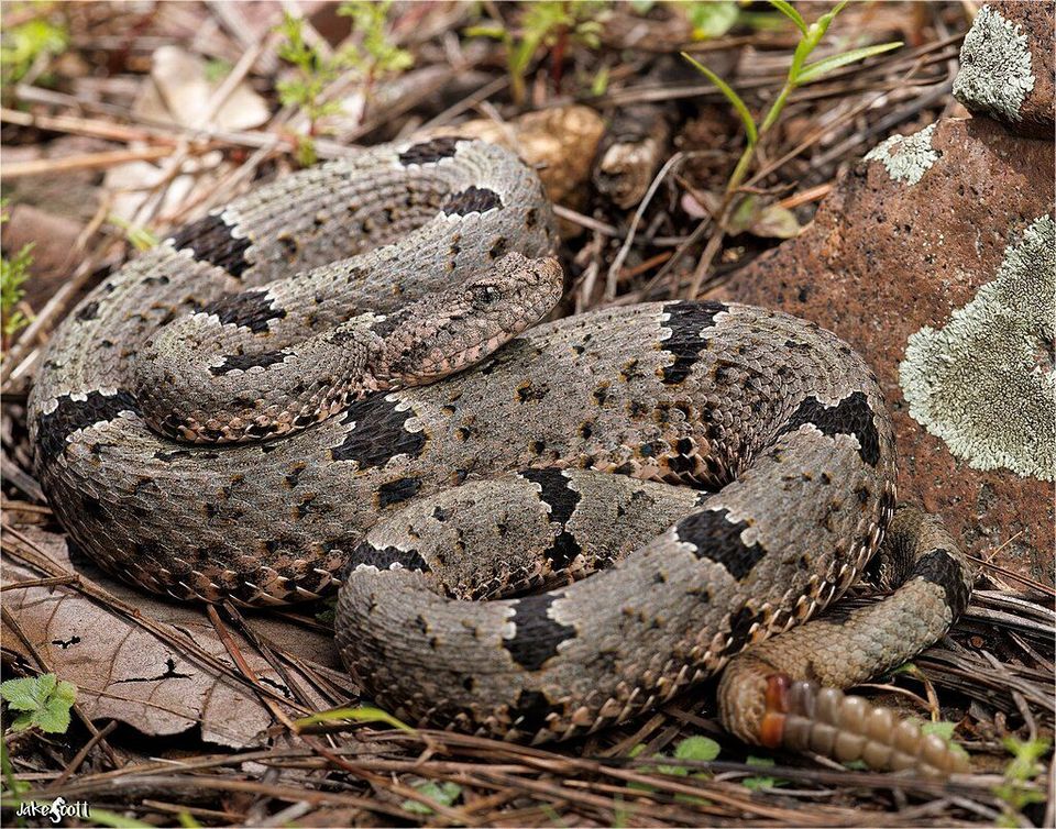 12 sightingsRock RattlesnakeMost seen around 5 PMSighting map
Sighting maps show where each species has been reported across Chiricahua. Wildlife moves, so no sighting is guaranteed.
Keep exploring
 EasyBonita Creek Loop0.2 mi · 20 min · At the trailheadA flat, paved loop for grassland birds and spring blooms.
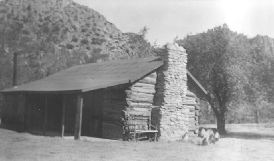 EasyFaraway Ranch Trail0.9 mi · 45 min · 0.5 mi awayA short loop to the 1880 Stafford homestead.
 EasySilver Spur Meadow Trail3 mi · 1.8 hr · 0.5 mi awayAn easy 3-mile history walk past a homestead cabin and CCC camp.
 ModerateLower Rhyolite Canyon Trail3 mi · 2.5 hr · 1.7 mi awayA gravel walk to rhyolite pinnacles, climbing toward the canyon junction.
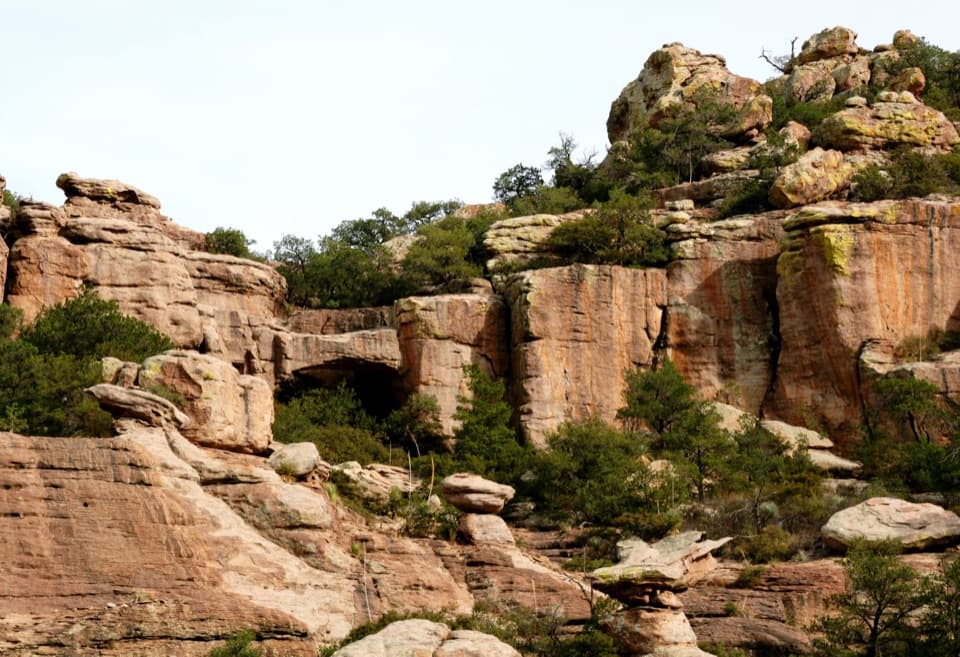 ModerateTrail to Natural Bridge4.7 mi · 3.5 hr · 2.2 mi awayA rugged forest climb ends at a bridge seen across the canyon.
 ModerateSugarloaf Mountain Trail1.8 mi · 1.5 hr · 3.7 mi awayA short, steep climb to a historic lookout above volcanic spires.
 ModerateEcho Canyon Loop Trail3.3 mi · 3.5 hr · 4 mi awayTight rock passages, sunny views, and a smarter counterclockwise loop.
 ChallengingHeart of Rocks Loop7.4 mi · 5 hr · 4 mi awayA strenuous climb reaches a clockwise loop among balanced rock towers.
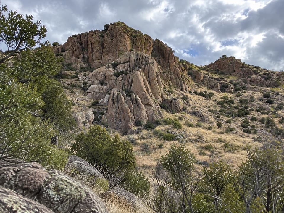 Picnic area · At the trailheadBonita Creek Picnic AreaA picnic break with a paved loop through grassland bird habitat.
 Sight · 0.2 mi awayErickson CemeteryThe graves trace the families who made Bonita Canyon home.
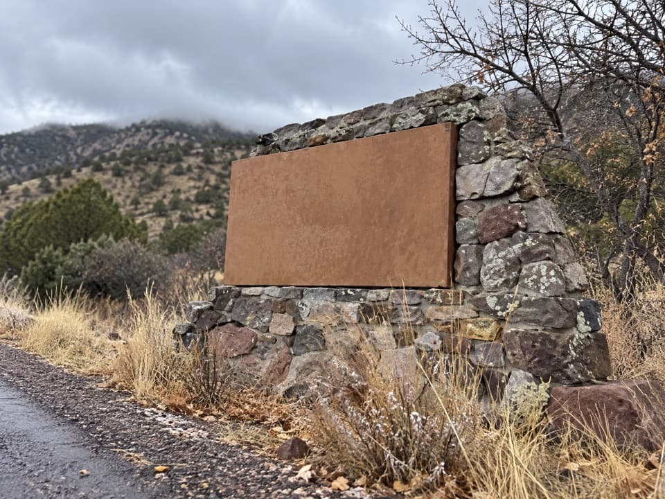 Sight · 0.3 mi awayChiricahua Entrance SignA quick first photo stop at the park entrance.
 Sight · 0.7 mi awayFaraway RanchA ranch house with a guest-ranch story and a good stargazing spot.
 Sight · 0.9 mi awayStafford CabinAn 1880 homestead cabin on an easy walk through Bonita Canyon
 Visitor center · 1.7 mi awayChiricahua Visitor CenterGet the geology, wildlife and human story before the drive.
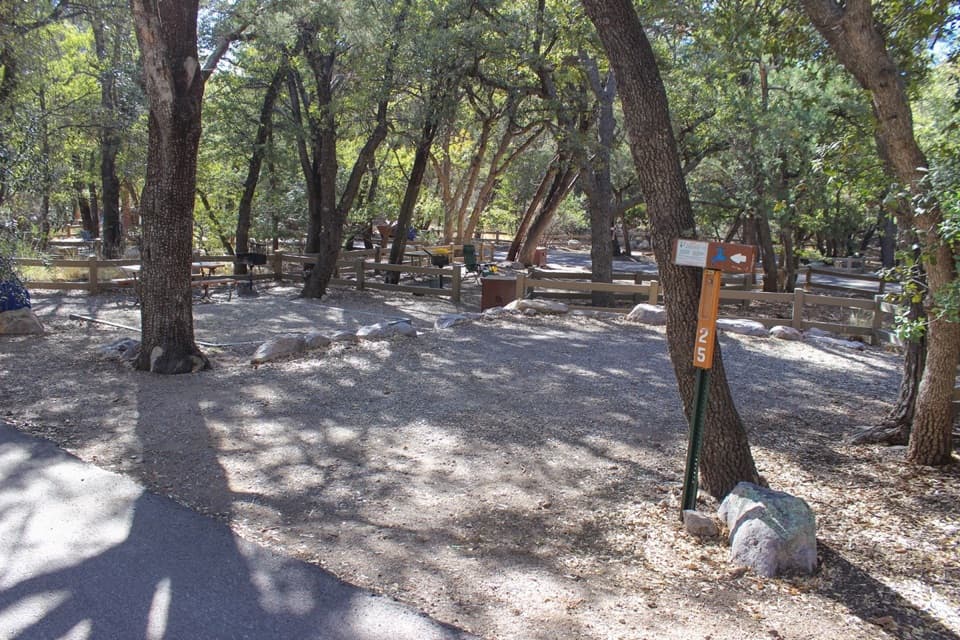 Campground · 1.7 mi awayBonita Canyon CampgroundA shady pine-and-oak base for sleeping inside the monument.Sight · 1.8 mi awayNatural BridgeA long, less-used hike to a water-carved arch across the canyon.
Parkwolf’s Chiricahua ranking

The audio tour guide for the drive, plus offline maps, trails, and wildlife heatmaps for when the signal drops.


