Parking
Follow Bonita Canyon Scenic Drive to the Massai Point parking area. Begin at the paved northwest-side trail. A picnic shelter, exhibits and vault toilet are at the point; no food service or potable water is listed.

#4 of 14 trails in Chiricahua
Chiricahua National Park, AZ
A half-mile rim loop past balanced rocks and wide canyon views.
Overview
Map & elevation
Plan your hike

The highest, rockiest slopes around here are a summer buffet for grizzly bears.
Chiricahua Tour Guide
Parkwolf is a GPS audio tour guide for Chiricahua National Park. As you drive, it chimes in with what’s ahead: hidden gems, upcoming stops, history, geology, and wildlife, right through your car’s speakers.
Recorded for this trailhead
Massai Point“You're coming up on Massai Point, where the road ends with a wide view across the rock towers of Rhyolite Canyon. Keep this stop even if you're doing very little walking; the panorama starts beside the parking lot.”
Plays as you drive up to this trailhead in the Parkwolf Chiricahua Tour Guide.
More stories near here in the app
“Fantastic app with many points of information… It’s great to just turn on while you’re driving and it gives you an audio tour of the national Park. We love it!!!!”


Trail guide
This half-mile loop circles Massai Point from its parking area, with balanced rocks and broad canyon views as the payoff. Allow about 30 minutes. The north side climbs to the exhibit building before the route follows the west rim south around the point and closes back at the parking access.
Start on the paved path at the northwest side and follow the loop counter-clockwise. The paved north section is about 0.1 mile (500 feet), with a steep grade and curved, exposed edges. A steep stair shortcut reaches the lookout but skips the full interpretive circuit; for a shorter visit, the paved approach can be walked out and back to the exhibits.
Uneven footing, stairs and the 6,870-foot elevation make the rest of this short route feel more demanding than its mileage suggests. Most of the loop is not passable for wheeled mobility devices; powered or assisted mobility may help on the paved section.
The trail brings you among Chiricahua's striking rock columns, with the view opening across wooded valleys and mountain ranges. Interpretive signs explain how the formations developed. At the overlook, include a balanced column in the foreground with the valley behind it to show the scale of the landscape.
Earlier interpretation of the trail called out pointleaf manzanita, named for fruit that resembles little apples, and sacahuista, or beargrass. Despite its common name, sacahuista is a lily. The trail's historic interpretation also records Apache use of its leaf fibers for woven baskets and mats.
Use the Massai Point parking area at the end of Bonita Canyon Scenic Drive. The point has a picnic shelter, exhibits and a vault toilet. No food service or potable water is listed there. Pets are not allowed; no separate activity fee or reservation is required, though park entrance fees may apply.
Wildlife
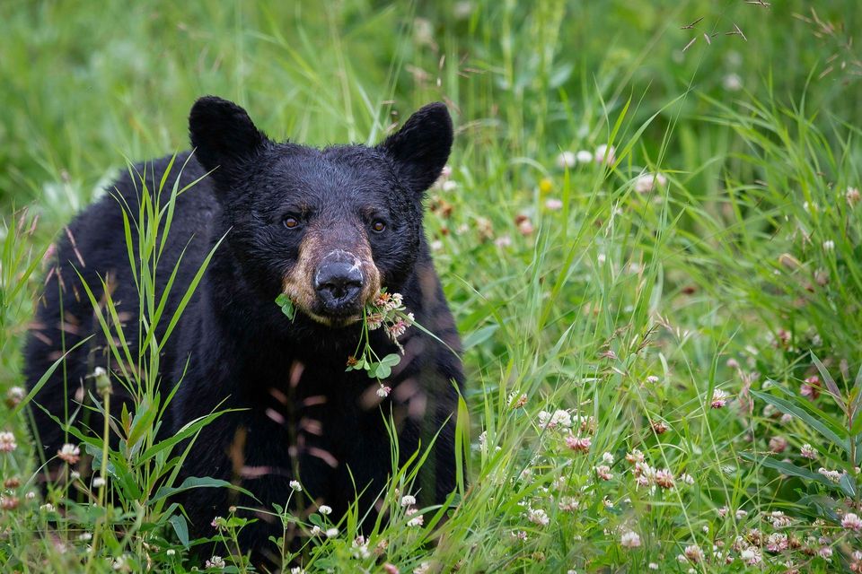 20 sightingsBlack BearMost seen around 7 AMSighting map
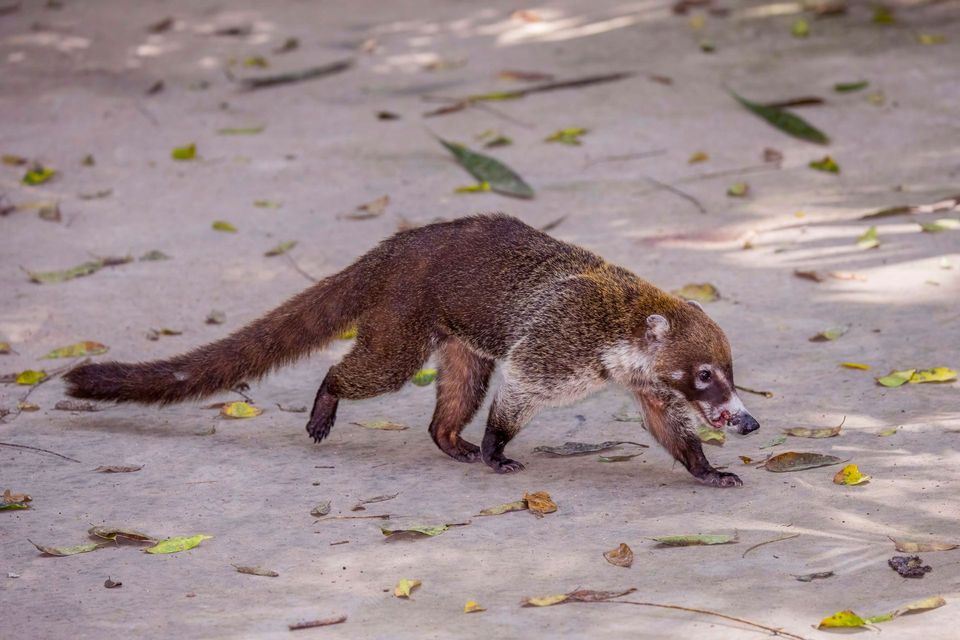 150 sightingsWhite-nosed CoatiMost seen around 9 AMSighting map
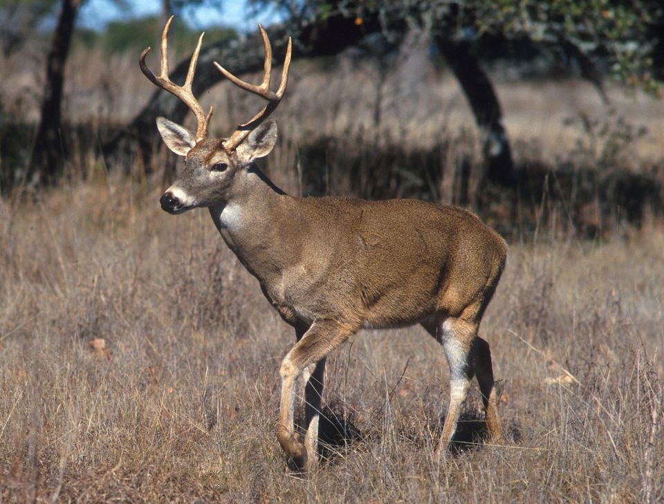 184 sightingsWhite-tailed DeerMost seen around 7 AMSighting map
 22 sightingsMojave RattlesnakeMost seen around 6 PMSighting map
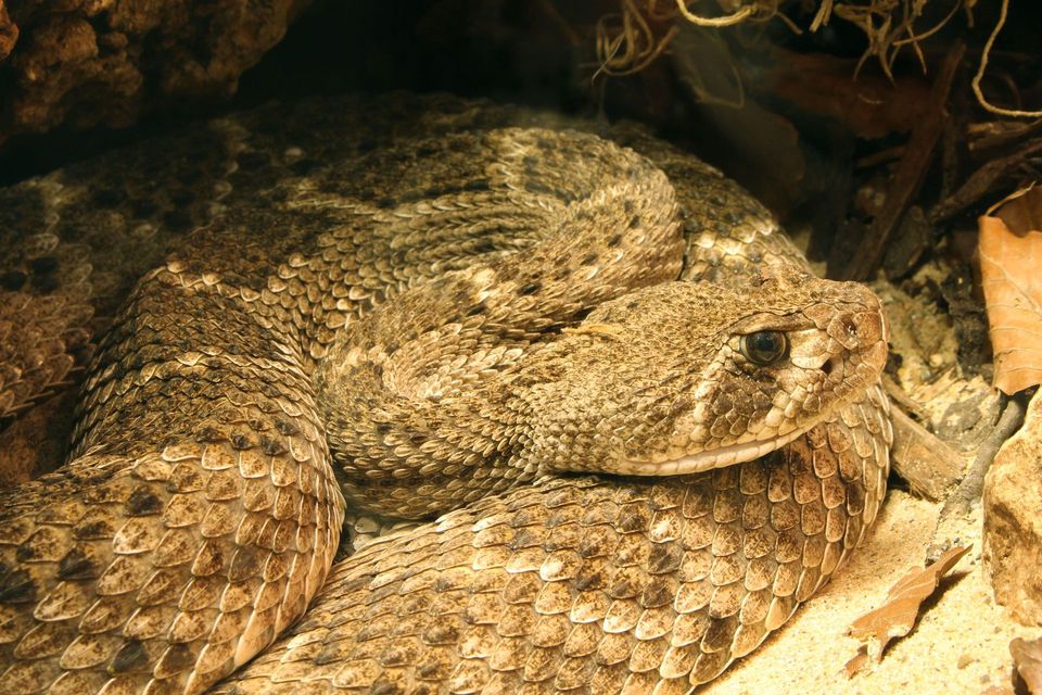 16 sightingsWestern Diamond-backed RattlesnakeMost seen around 6 PMSighting map
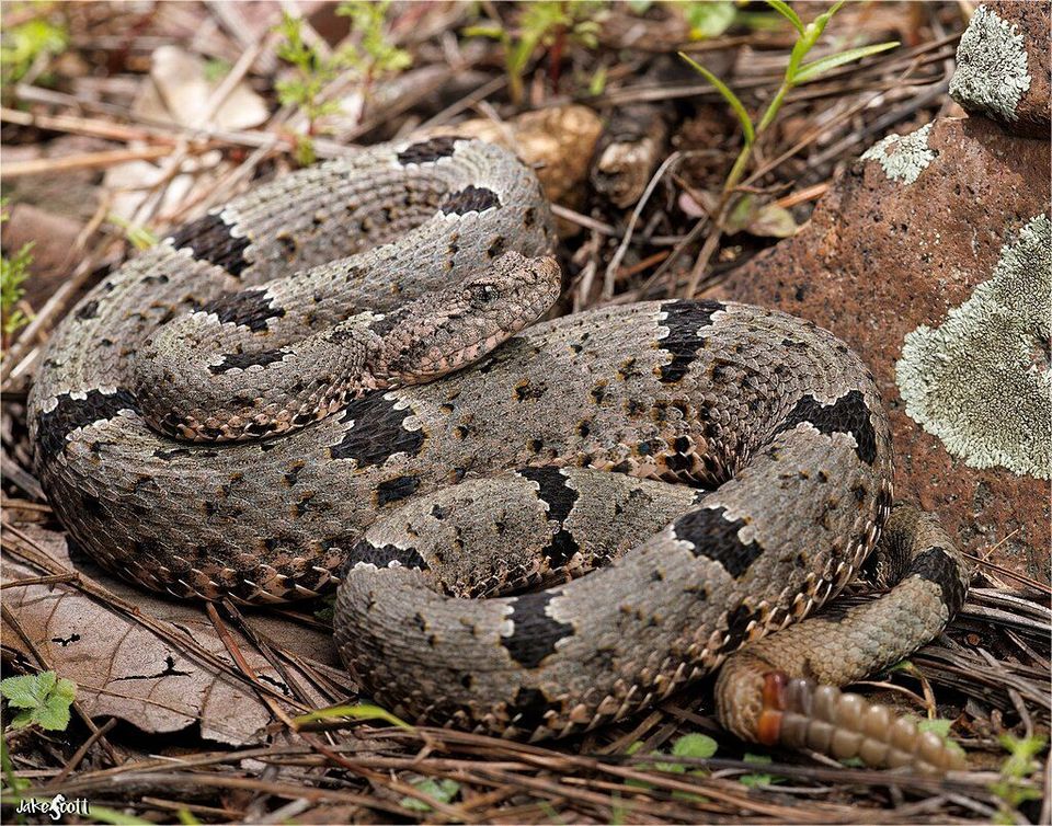 12 sightingsRock RattlesnakeMost seen around 5 PMSighting map
Sighting maps show where each species has been reported across Chiricahua. Wildlife moves, so no sighting is guaranteed.
Keep exploring
 ModerateEcho Canyon Loop Trail3.3 mi · 3.5 hr · 0.4 mi awayTight rock passages, sunny views, and a smarter counterclockwise loop.
 ChallengingHeart of Rocks Loop7.4 mi · 5 hr · 0.4 mi awayA strenuous climb reaches a clockwise loop among balanced rock towers.
 ChallengingThe Big Loop9.5 mi · 5.5 hr · 0.4 mi awayA full day among hoodoos, narrow slots and long canyon views.
 ModerateEcho Canyon Grottoes Trail1.2 mi · 45 min · 0.4 mi awayA short walk into tunnel-like rock passages
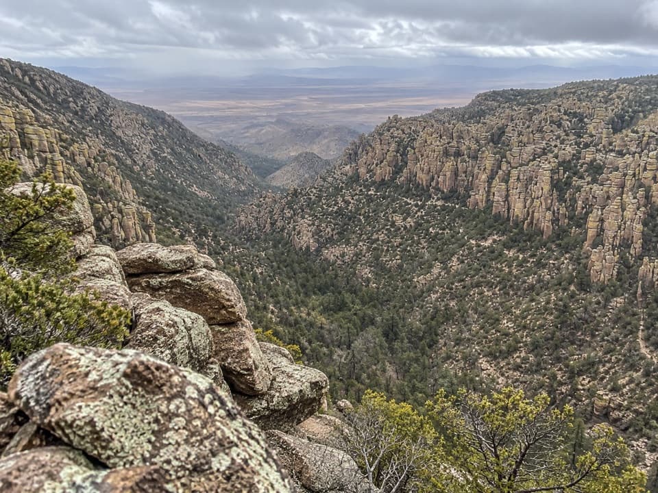 ChallengingInspiration Point Trail5.4 mi · 3.5 hr · 0.4 mi awayA rocky climb to a sweeping view of rhyolite spires.
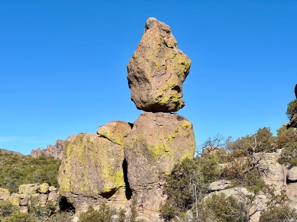 ModerateEcho Canyon to Visitor Center4.2 mi · 3 hr · 0.4 mi awayA 4.2-mile downhill traverse from rock towers to shaded oak.
 ModerateSugarloaf Mountain Trail1.8 mi · 1.5 hr · 0.8 mi awayA short, steep climb to a historic lookout above volcanic spires.
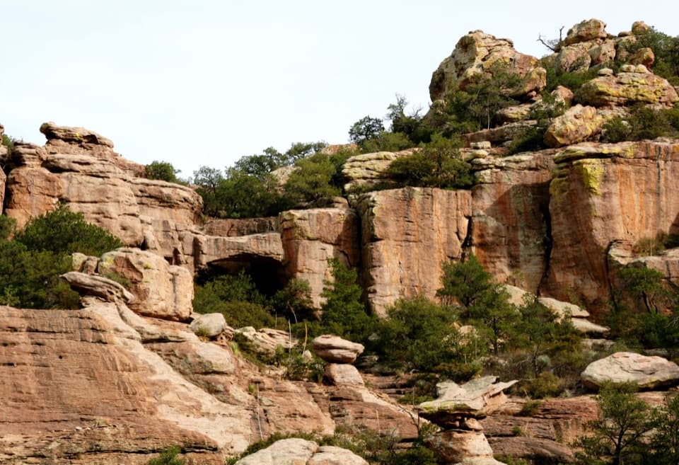 ModerateTrail to Natural Bridge4.7 mi · 3.5 hr · 2.4 mi awayA rugged forest climb ends at a bridge seen across the canyon.Sight · At the trailheadMassai PointBig views from the lot; a short trail gets you closer.
 Sight · 0.4 mi awayEcho Canyon Parking AreaA small lot on the upper scenic drive for stargazing.
 Sight · 0.4 mi awayEcho Canyon GrottoesStep into a stone corridor among towering rock pinnacles.
 Sight · 0.5 mi awayInspiration PointA strenuous hike for wide views of Cochise Head and Rhyolite Canyon.
 Sight · 0.9 mi awaySugarloaf Mountain Fire LookoutA steady climb to wide views over Bonita Canyon.
 Sight · 1 mi awayPinnacle Balanced RockA top-heavy tower, earned by a long walk into the hoodoos.
 Sight · 1 mi awayBig Balanced RockA broad boulder perched on a narrow base, after a serious hike.
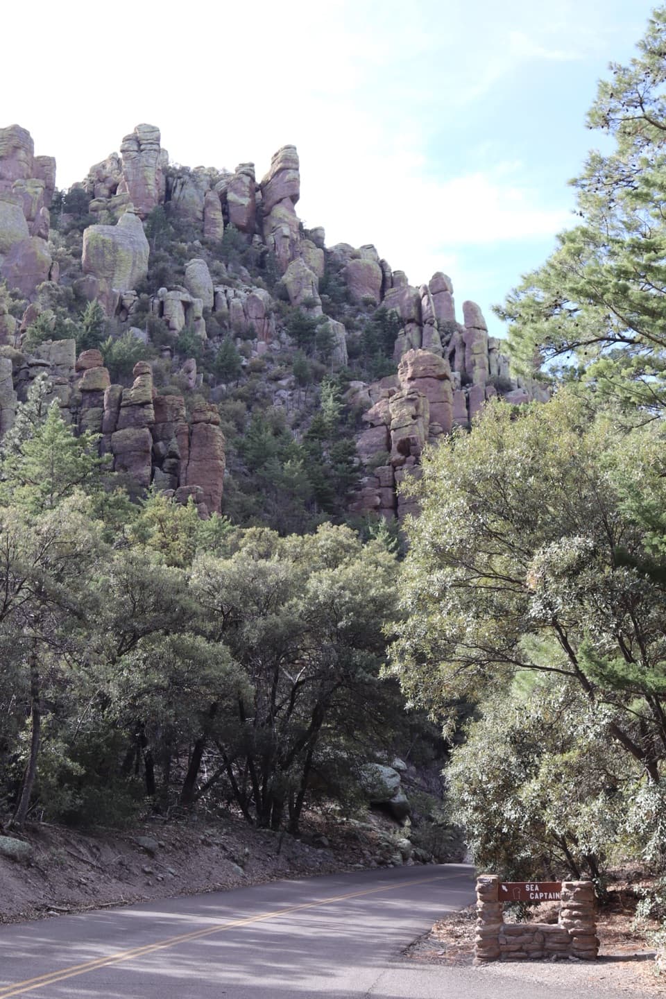 Sight · 1.6 mi awaySea CaptainThe captain’s profile hides in rhyolite until the sign gives it away.
Parkwolf’s Chiricahua ranking

The audio tour guide for the drive, plus offline maps, trails, and wildlife heatmaps for when the signal drops.