Natural Bridge in Chiricahua National Park

#9 of 14 sights in Chiricahua

Sight · Chiricahua National Park

Natural Bridge

A long, less-used hike to a water-carved arch across the canyon.

Photo: National Park Service
Type
Sight
Nearest trail
0.4 mi
Audio stories
13 nearby
  • Trailhead
  • Parking
  • Scenic viewpoint

Hear the audio tour

Natural Bridge Trail

Overview

About Natural Bridge

Why stop

  • A distinctive water-carved arch at the end of a canyon hike.

Heads up

  • Nearly five miles of ups and downs for a distant view of the arch.

Map

Where it is

Loading the Chiricahua map
Full map
SightNatural Bridge32.02009, -109.35562
Keep this map with you offline in the Parkwolf app

Plan your stop

Before you go

3 active Chiricahua alerts

  • CautionRabies warning for wild animalsRabies has been detected in Southeast Arizona; do not approach, feed, or touch wild animals.Official details
  • InfoVehicle and trailer limits on Bonita Canyon DriveCheck vehicle length before continuing past Faraway Ranch Parking; there is no large-vehicle turnaround farther up Bonita Canyon Drive. The road narrows and winds steeply up the mountain.Official details

See all 3 alerts
A park ranger sits on a dash-mounted phone, talking, as Parkwolf’s Tour Guide plays “Army Cutworm Moths: A Grizzly Bear Buffet” on Grand Loop Road below Dunraven Pass in Yellowstone
Parkwolf Tour GuideThe highest, rockiest slopes around here are a summer buffet for grizzly bears.

Chiricahua Tour Guide

Your drive to Natural Bridge, narrated.

Parkwolf is a GPS audio tour guide for Chiricahua National Park. As you drive, it chimes in with what’s ahead: hidden gems, upcoming stops, history, geology, and wildlife, right through your car’s speakers.

Recorded for this place

Natural Bridge Trail
0:00 / 0:24
“You're nearing the Natural Bridge trailhead, where a canyon hike ends with a view of a small, water-carved arch.”

Plays as you drive up to Natural Bridge in the Parkwolf Chiricahua Tour Guide.

More stories near here in the app

  • Organ Pipe Formation
  • Bonita Canyon Campground
  • Why Oaks Come Back
  • Chiricahua Visitor Center
  • 26 audio storiesacross Chiricahua’s roads, triggered by GPS as you drive
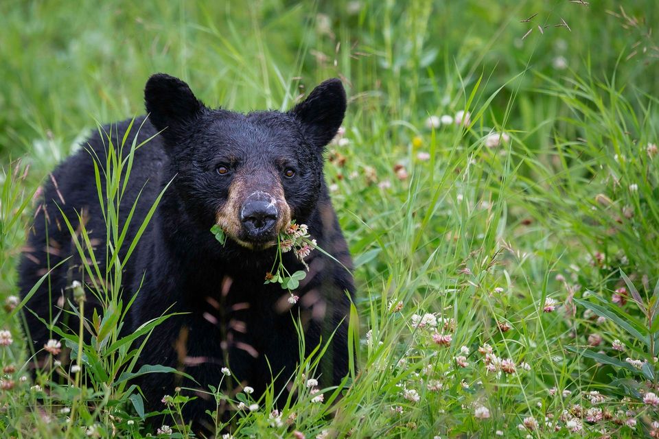
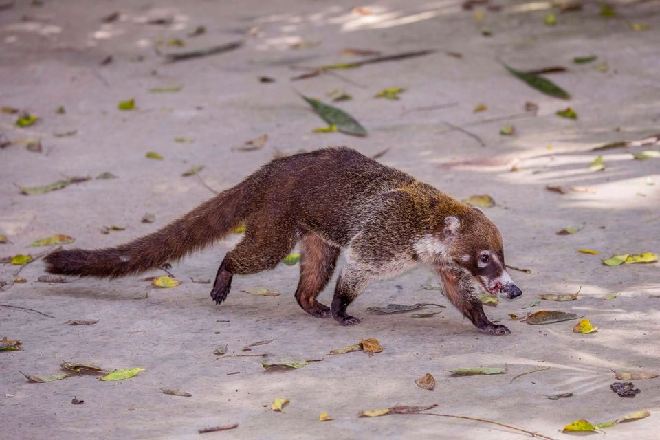
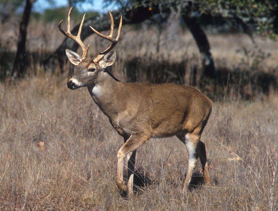
  • Wildlife heatmapsfor Black Bear, White-nosed Coati, White-tailed Deer, and 13 more
  • Works offlinemaps, 14 trails, 17 places, and audio download before you lose signal
  • CarPlay readysimple controls built for the drive
★★★★★
“Fantastic app with many points of information… It’s great to just turn on while you’re driving and it gives you an audio tour of the national Park. We love it!!!!”
JMJamesApp Store review
Download Parkwolf on the App StoreGet Parkwolf on Google Play

4.7 from 8,600+ ratings

Guide

More about Natural Bridge

A long walk for a small archNatural Bridge is a small, water-carved arch set into a canyon wall, viewed from an overlook…

Natural Bridge is a small, water-carved arch set into a canyon wall, viewed from an overlook across the canyon. Reaching it takes about 4.8 miles round trip, nearly 1,000 feet of climbing, and roughly three to four hours. It is a long hike for a distant view, so go for the whole canyon walk as much as the arch. This is one of Chiricahua's less-used trails.

The route to the overlookThe trail climbs to a ridge, drops into Picket Canyon, then climbs again to a bare ledge at the…

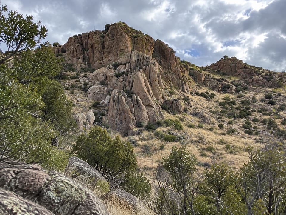
The trail climbs to a ridge, drops into Picket Canyon, then climbs again to a bare ledge at the end. It crosses oak and juniper woodland, a pine grove at Picket Park, and areas of intense burn with broad views. The footing is narrow and rocky, with large steps and boulders; even with a moderate rating, expect more work than that label may suggest.

Look across the canyonThe arch sits about 400 feet away and 150 feet above the terminal overlook, so it can be hard…

The arch sits about 400 feet away and 150 feet above the terminal overlook, so it can be hard to pick out at first. Frame it with the opposite cliff and canyon around it to show where the opening sits; morning light can leave the bridge in shadow.

How the bridge formedThe arch is cut into dark gray rhyolite.

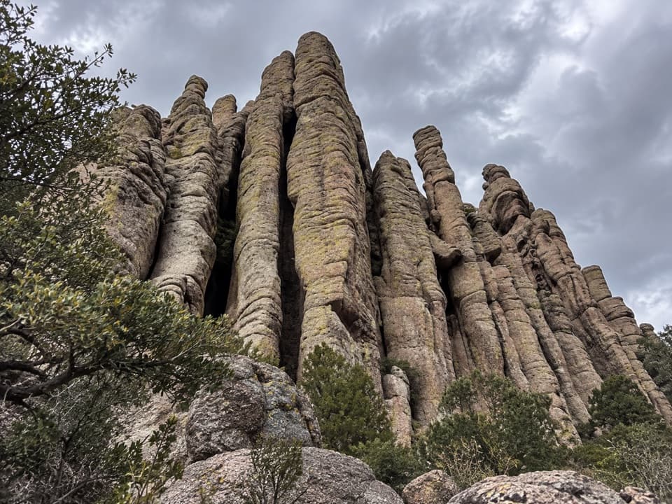
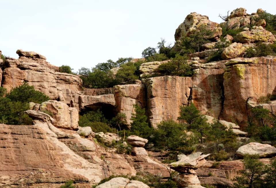
The arch is cut into dark gray rhyolite. Flowing water likely wore away weaker rock during the wetter Pleistocene, leaving the bridge. The surrounding Chiricahua pinnacles are rhyolite tuff, formed from ash and volcanic debris from the Turkey Creek Caldera eruption about 27 million years ago.

Getting to the trailheadThe small trailhead parking area is on Bonita Canyon Scenic Drive, about half a mile beyond the…

The small trailhead parking area is on Bonita Canyon Scenic Drive, about half a mile beyond the campground. The upper drive is for standard-width vehicles under 24 feet; trailers are not allowed. The trail is listed as open year-round, with no reservation or activity fee, but check road alerts before driving up. Dogs are not allowed, and the rocky steps make the trail unsuitable for most mobility devices. The trailhead is a parking stop rather than a service stop; food and water are not listed there.

Wildlife

Wildlife in Chiricahua

All Chiricahua wildlife maps

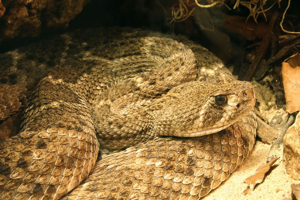
Sighting maps show where each species has been reported across Chiricahua. Wildlife moves, so no sighting is guaranteed.

Keep exploring

Near Natural Bridge

See it all on the map

Trails nearby

More stops nearby

Parkwolf’s Chiricahua ranking

Top sights in Chiricahua

All 17 places
  1. 1Massai PointSight
  2. 2Faraway RanchSight
  3. 3Big Balanced RockSight
  4. 4Echo Canyon GrottoesSight
  5. 5Sugarloaf Mountain Fire LookoutSight
  6. 6Inspiration PointSight

Take Parkwolf to Chiricahua.

The audio tour guide for the drive, plus offline maps, trails, and wildlife heatmaps for when the signal drops.

4.7 from 8,600+ ratings

Download Parkwolf on the App StoreGet Parkwolf on Google Play