Bonita Creek Picnic Area in Chiricahua National Park

Picnic area · Chiricahua National Park

Bonita Creek Picnic Area

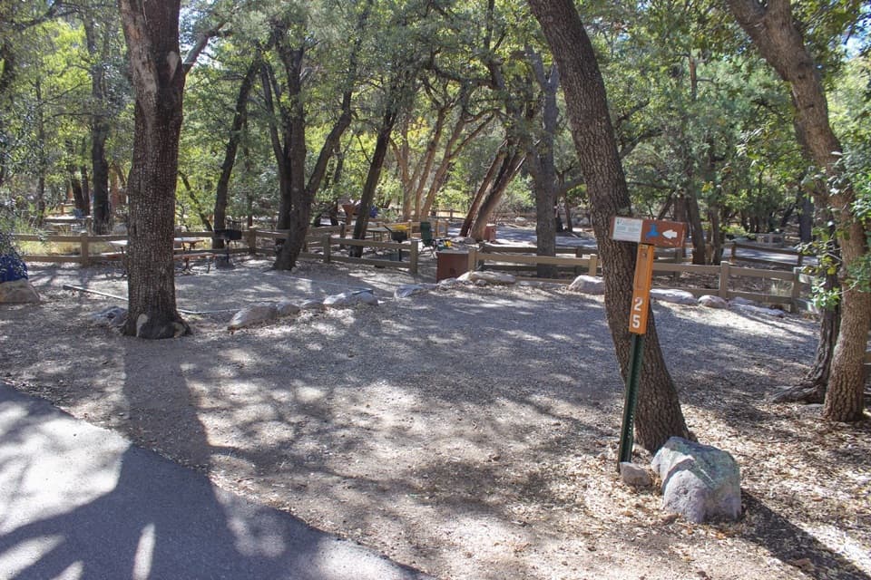
A picnic break with a paved loop through grassland bird habitat.

Type
Picnic area
Nearest trail
Right here
Audio stories
11 nearby
  • Picnic tables
  • Parking
  • Restrooms
  • Trailhead

Hear the audio tour

Bonita Creek Picnic Area

Overview

About Bonita Creek Picnic Area

Why stop

  • The level, paved 0.2-mile loop is wheelchair accessible.

Map

Where it is

Loading the Chiricahua map
Full map
Picnic areaBonita Creek Picnic Area32.00965, -109.38400
Keep this map with you offline in the Parkwolf app

Plan your stop

Before you go

A short, accessible loop

The level Bonita Creek Loop circles the picnic area and runs alongside the creek. It’s just 0.2 mile and usually takes 15–30 minutes. The parking lot has nine spaces, including two ADA spaces and one van-accessible space; vehicles are limited to 29 feet. There’s a vault toilet, but no water, so bring what you’ll need.

3 active Chiricahua alerts

  • CautionRabies warning for wild animalsRabies has been detected in Southeast Arizona; do not approach, feed, or touch wild animals.Official details
  • InfoVehicle and trailer limits on Bonita Canyon DriveCheck vehicle length before continuing past Faraway Ranch Parking; there is no large-vehicle turnaround farther up Bonita Canyon Drive. The road narrows and winds steeply up the mountain.Official details
See all 3 alerts
A park ranger sits on a dash-mounted phone, talking, as Parkwolf’s Tour Guide plays “Army Cutworm Moths: A Grizzly Bear Buffet” on Grand Loop Road below Dunraven Pass in Yellowstone
Parkwolf Tour GuideThe highest, rockiest slopes around here are a summer buffet for grizzly bears.

Chiricahua Tour Guide

Your drive to Bonita Creek Picnic Area, narrated.

Parkwolf is a GPS audio tour guide for Chiricahua National Park. As you drive, it chimes in with what’s ahead: hidden gems, upcoming stops, history, geology, and wildlife, right through your car’s speakers.

Recorded for this place

Bonita Creek Picnic Area
0:00 / 0:26
“You're coming up on Bonita Creek Picnic Area, a useful stop for lunch and an easy stretch of the legs. The level, paved loop is just a fifth of a mile and is wheelchair accessible.”

Plays as you drive up to Bonita Creek Picnic Area in the Parkwolf Chiricahua Tour Guide.

More stories near here in the app

  • Erickson Cemetery
  • Faraway Ranch and Stafford Cabin
  • Ranching by Touch
  • A Monument in the Fireplace
  • 26 audio storiesacross Chiricahua’s roads, triggered by GPS as you drive
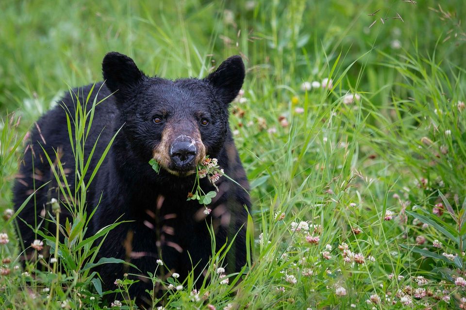
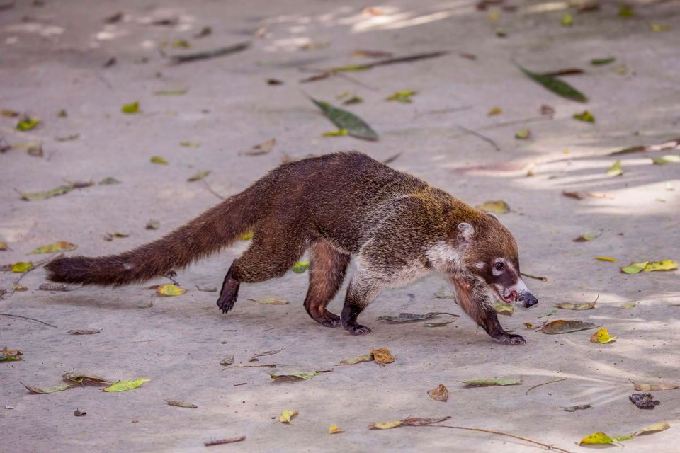
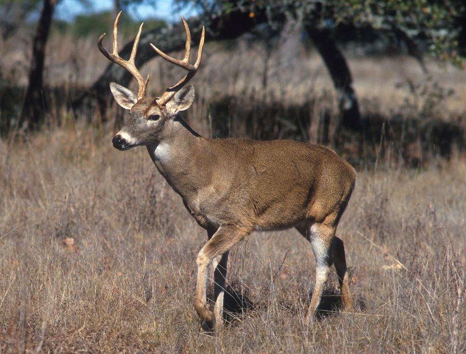
  • Wildlife heatmapsfor Black Bear, White-nosed Coati, White-tailed Deer, and 13 more
  • Works offlinemaps, 14 trails, 17 places, and audio download before you lose signal
  • CarPlay readysimple controls built for the drive
★★★★★
“Fantastic app with many points of information… It’s great to just turn on while you’re driving and it gives you an audio tour of the national Park. We love it!!!!”
JMJamesApp Store review
Download Parkwolf on the App StoreGet Parkwolf on Google Play

4.7 from 8,600+ ratings

Guide

More about Bonita Creek Picnic Area

An easy picnic stop near the entranceBonita Creek Picnic Area is a large picnic stop near the park entrance, with tables and a…

Bonita Creek Picnic Area is a large picnic stop near the park entrance, with tables and a short, paved loop beside intermittent Bonita Creek. It’s a useful place for an easy break, especially if you want a walk that works for wheelchair users without taking on a longer hike.

Birds, flowers and a creek that can run dryThis is a good stop for grassland birds.

This is a good stop for grassland birds. In spring and early summer, look for Apache plume and prickly poppy; Arizona whitetail deer are often seen in the lower canyon. Bonita Creek is intermittent, so don’t count on seeing it flow.

Wildlife

Wildlife in Chiricahua

All Chiricahua wildlife maps

Sighting maps show where each species has been reported across Chiricahua. Wildlife moves, so no sighting is guaranteed.

Keep exploring

Near Bonita Creek Picnic Area

See it all on the map

Trails nearby

More stops nearby

Parkwolf’s Chiricahua ranking

Top sights in Chiricahua

All 17 places
  1. 1Massai PointSight
  2. 2Faraway RanchSight
  3. 3Big Balanced RockSight
  4. 4Echo Canyon GrottoesSight
  5. 5Sugarloaf Mountain Fire LookoutSight
  6. 6Inspiration PointSight

Take Parkwolf to Chiricahua.

The audio tour guide for the drive, plus offline maps, trails, and wildlife heatmaps for when the signal drops.

4.7 from 8,600+ ratings

Download Parkwolf on the App StoreGet Parkwolf on Google Play