
Place · 3.8 mi away
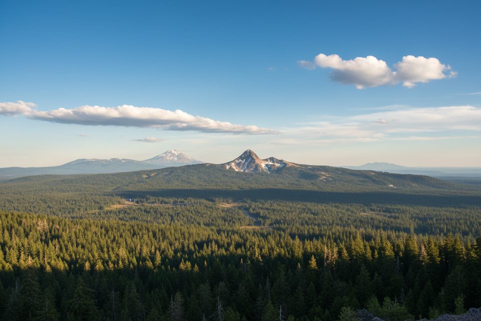
Union Peak anchors the park’s southwest corner with a sharp, pyramid‑like profile and a rewarding, moderately long day hike. You’ll approach on the Pacific Crest Trail (PCT) before a steeper finale to the summit. Expect solitude compared to the rim—and a curveball: you’ll see the caldera rim, but not the lake itself.
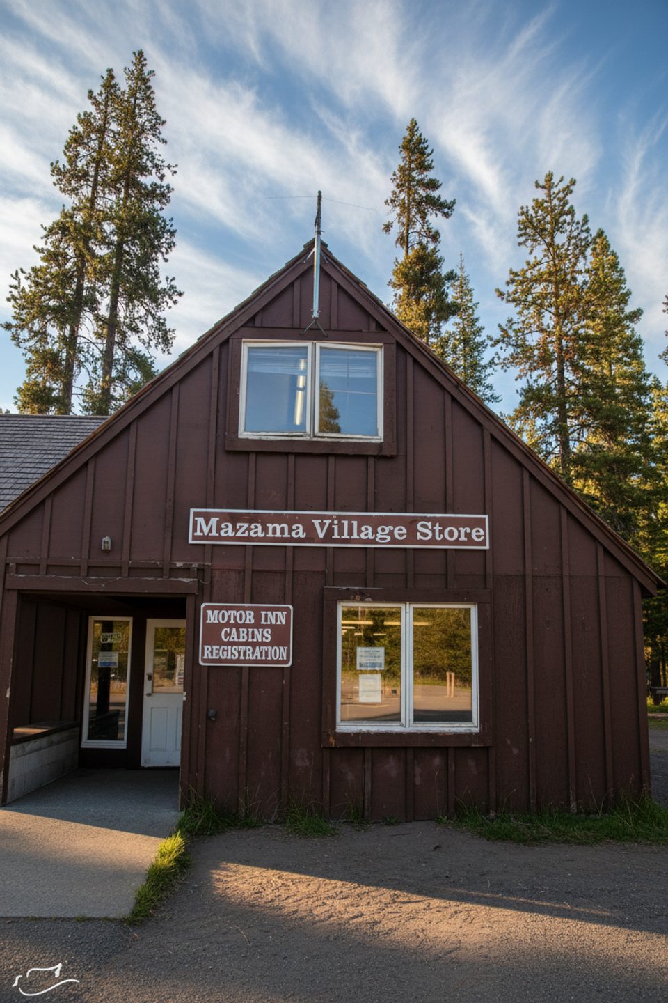
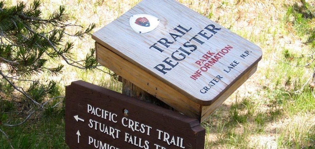
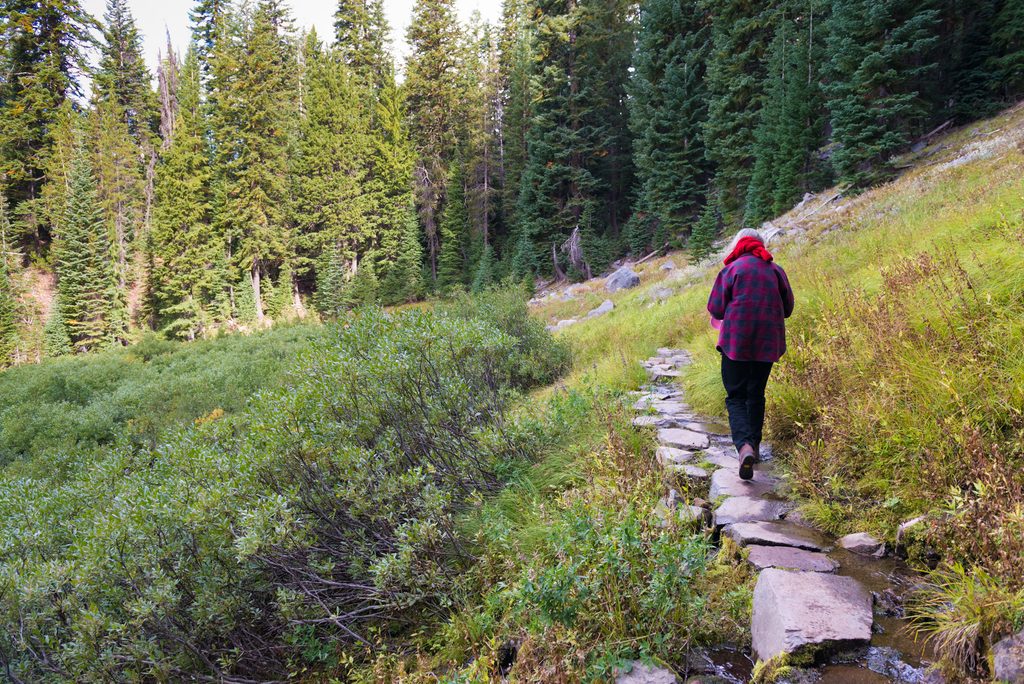
Plan on roughly 10 miles round trip with about 1,600 feet of gain. The PCT approach is mostly gentle through lodgepole and fir before a rocky, switchbacking final half mile. Strong hikers typically take 5–6 hours round trip. The standard access starts at the signed PCT trailhead/parking across Highway 62 from the Mazama Village entrance; follow the PCT and watch for the Union Peak spur.
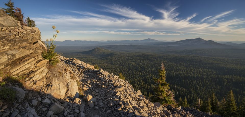
From the summit, the payoff is big: expansive Cascades panoramas and the rim high points around the caldera—think Mt. Scott, Garfield Peak, and The Watchman—plus far‑flung horizons in all directions. Just don’t expect that classic blue lake view from up here.
Keep an eye out for elk in meadows at the mountain’s base and listen for the squeaks of pikas in the talus near the top. Give wildlife space and enjoy the quiet—this route sees fewer hikers than the rim trails.
Union Peak is the heavily eroded core of an older volcano, sculpted by Ice Age glaciers into a horned spire with exposed volcanic dikes. It predates Mount Mazama (the volcano whose collapse formed the caldera), which makes its rugged remnant a different chapter of the park’s volcanic story.
Aim for clear, snow‑free conditions; snow can linger into late spring. Start early to beat afternoon heat and possible storms, and go on weekdays if you want maximum solitude. Morning and late‑day light are best for photos and cooler temps.
Place · 3.8 mi away
Place · 3.8 mi away
Place · 3.8 mi away
Place · 3.8 mi away
Moderate · 3.5 mi away
Moderate · 3.5 mi away
Easy · 4.6 mi away
Easy · 6.2 mi away

Parkwolf Tour Guide
