
Place
Moderate
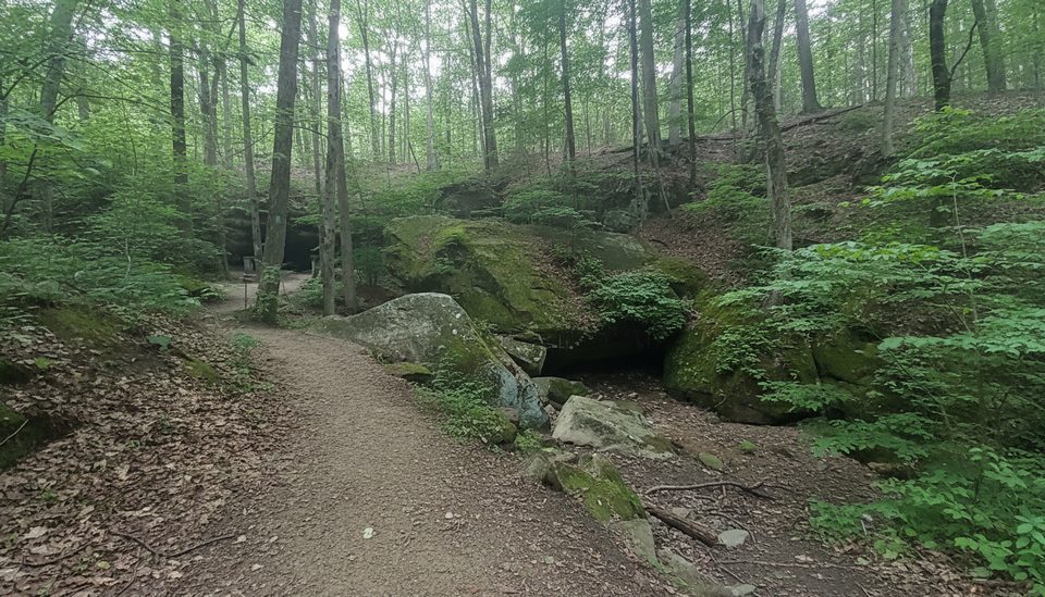
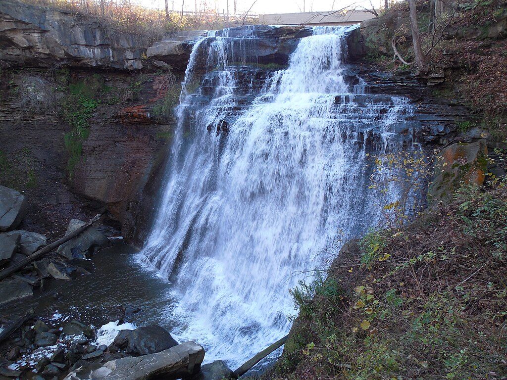
This is a wooded, moderately challenging loop in Brecksville Reservation (Cleveland Metroparks), directly adjacent to the north end of Cuyahoga Valley. The loop runs about 4.1 miles total and typically takes 1.5–2 hours. Expect rolling hills, short steeper pops, and a well‑marked path that dips in and out of creek ravines. Dogs are welcome on leash.
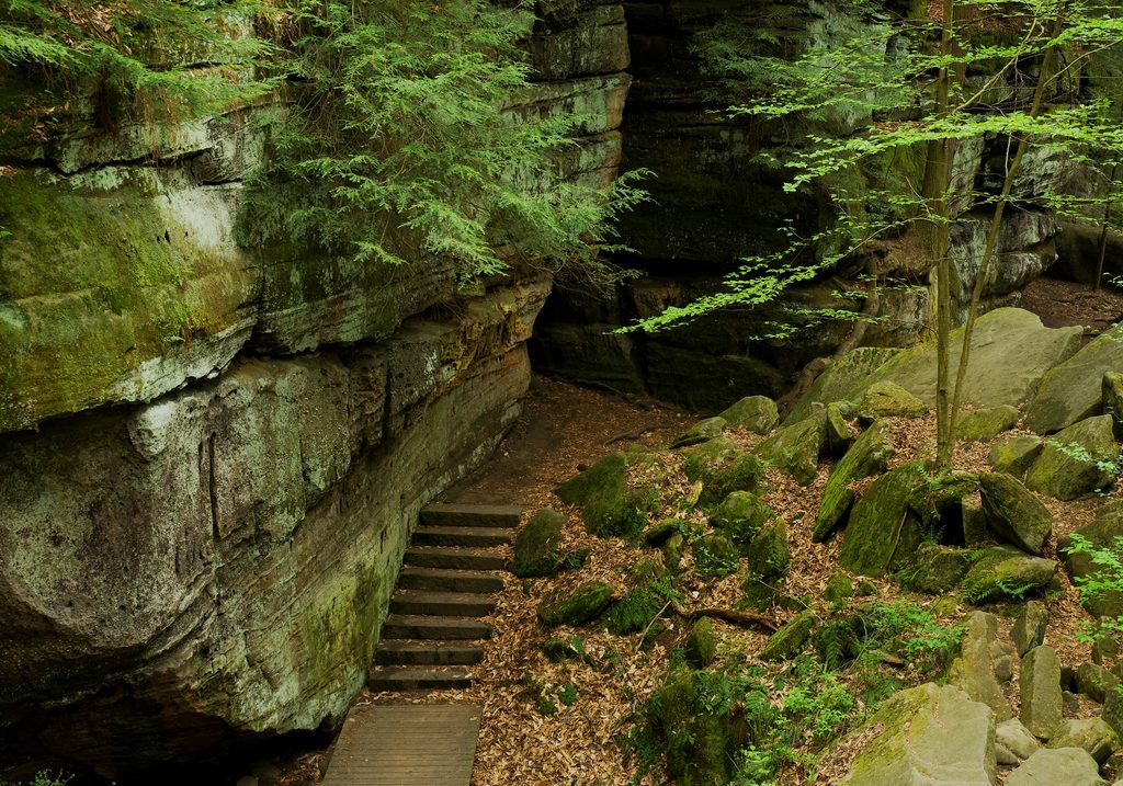
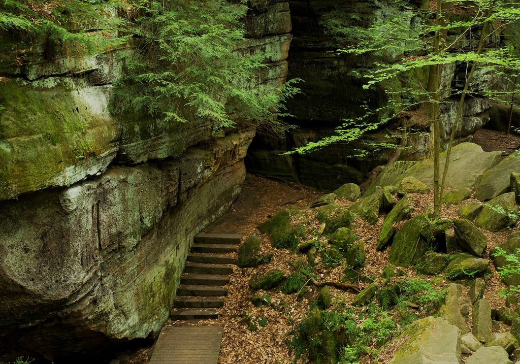
The namesake “Deer Lick Cave” isn’t a cave at all but a shallow Berea Sandstone rock shelter carved by water over time. Deer have long been seen licking salt embedded in the sandstone—left from an ancient sea that once covered this area—hence the name. After a hard rain, the overhang often weeps with delicate trickles; in winter, icicles form along the ledge. Along the loop you’ll cross or parallel creeks (including Chippewa Creek and glimpses of Wallin Creek) over wooden footbridges beneath a dense hardwood canopy.
This is solidly moderate thanks to several-hundred feet of cumulative gain spread over rolling terrain and a few short, steeper sections. The tread is mostly natural dirt with steps, bridges, and occasional narrow boardwalks. It can be muddy and slick after rain. Wayfinding is straightforward. If you’re hoping for a deep, dramatic cave, temper expectations—the rock shelter is neat but subtle; come for the ravines and forest.
There are small pull-offs along Valley Parkway near the cave, and additional access from Chippewa Creek Drive. Many hikers start from the Brecksville Nature Center area; the Lower Chippewa Picnic Area can be a handy alternative if the closer spots are full. This is a popular loop—arrive early on weekends.
Year‑round appeal: spring brings flowering trees and lively flow; summer’s dense canopy keeps things cool; fall color lights up the hillsides; winter often delivers photogenic icicles at the overhang. Right after a soaking rain, the sandstone ledge is at its most dramatic. For quieter trails and easier parking, go early or on weekdays.
Small pull-offs along Valley Parkway near the cave; additional access from Chippewa Creek Drive. Many start from the Brecksville Nature Center; Lower Chippewa Picnic Area works as an overflow option. Arrive early on busy weekends.
Expect mud and slick footing after rain, stairs and uneven terrain, bugs in warm months, and brief road-adjacent segments with occasional construction noise.
Place
Place
Place
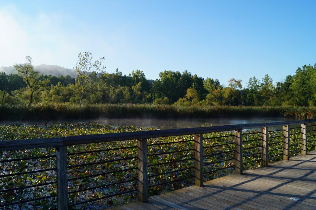
Place
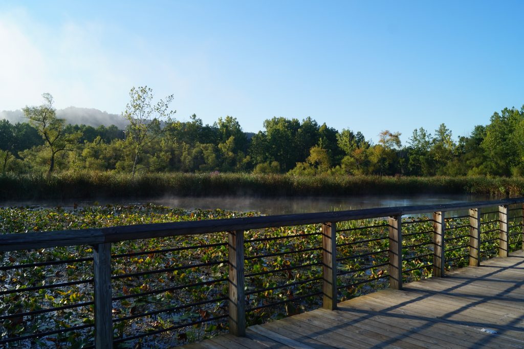
Easy
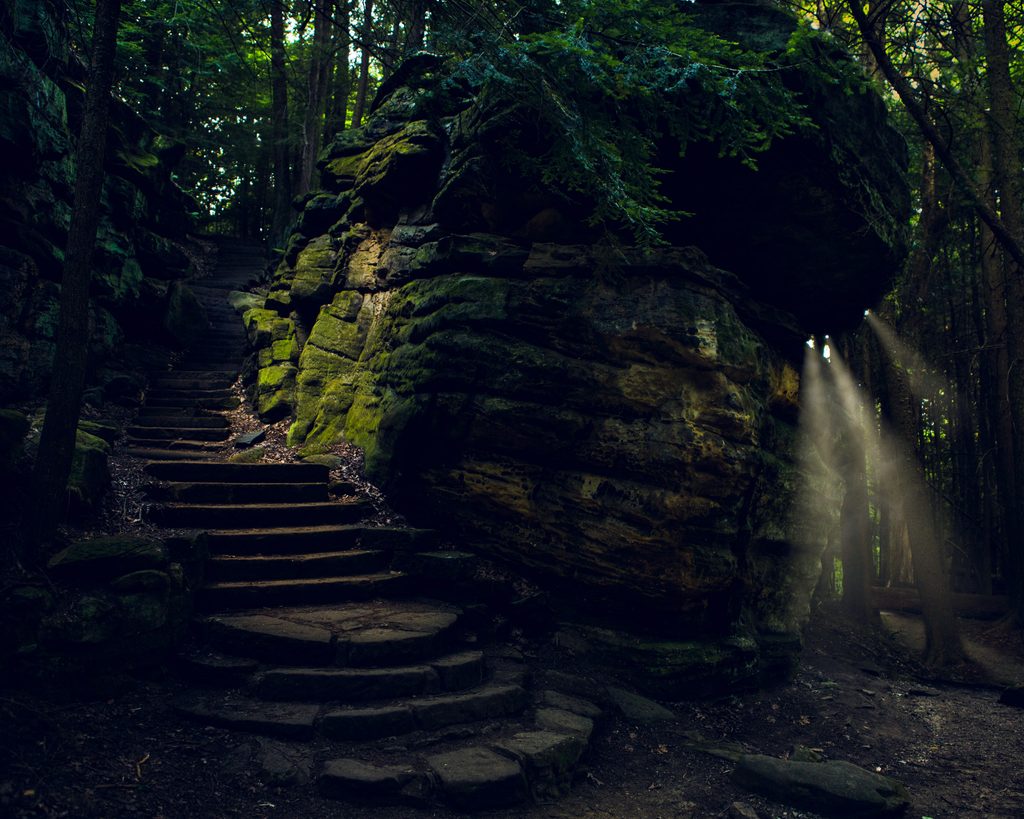
Moderate
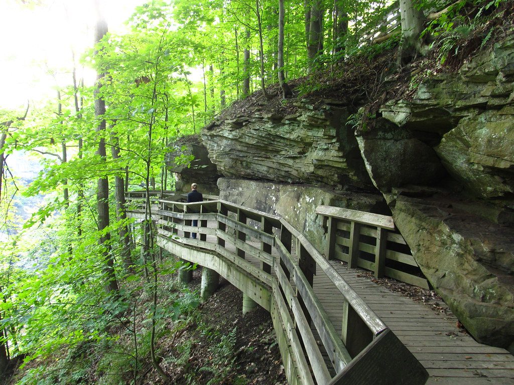
Easy
Moderate

Parkwolf Tour Guide
