The Ledges in Cuyahoga Valley National Park

#2 of 58 sights in Cuyahoga Valley

Sight · Cuyahoga Valley National Park

The Ledges

Walk sandstone crevices, then catch a west-facing view over the valley.

Photo: Wikimedia Commons
Type
Sight
Nearest trail
0.3 mi
Audio stories
12 nearby
  • Trailhead
  • Parking
  • Scenic viewpoint
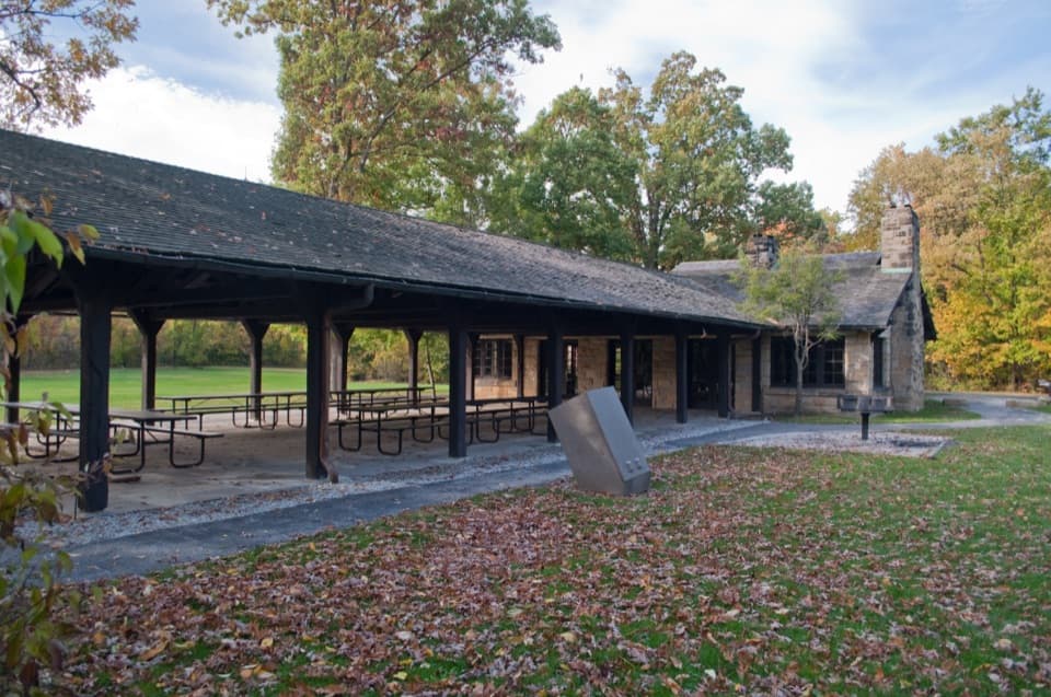
  • Picnic tables

Hear the audio tour

The Ledges

Overview

About The Ledges

Why stop

  • Layered cliffs and narrow crevices reward the full walk.

Heads up

  • Uneven rock and steps limit access; foliage can screen the westward view.

Map

Where it is

Loading the Cuyahoga Valley map
Full map
SightThe Ledges41.22039, -81.51217
Keep this map with you offline in the Parkwolf app

Plan your stop

Before you go

5 active Cuyahoga Valley alerts

  • ClosureTowpath Trail closed: Boston to Lock 29The Towpath Trail is closed from Boston Trailhead to Lock 29 in Peninsula during the August 24–November 20, 2026 work period.Official details
  • ClosureStanford-area closures for pavement removalA contractor is removing old pavement, closing former Stanford Road between Stanford Trailhead and the Brandywine Gorge Loop, the north half of Stanford Trailhead parking lot, and a section of the…Official details

See all 5 alerts
A park ranger sits on a dash-mounted phone, talking, as Parkwolf’s Tour Guide plays “Army Cutworm Moths: A Grizzly Bear Buffet” on Grand Loop Road below Dunraven Pass in Yellowstone
Parkwolf Tour GuideThe highest, rockiest slopes around here are a summer buffet for grizzly bears.

Cuyahoga Valley Tour Guide

Your drive to The Ledges, narrated.

Parkwolf is a GPS audio tour guide for Cuyahoga Valley National Park. As you drive, it chimes in with what’s ahead: hidden gems, upcoming stops, history, geology, and wildlife, right through your car’s speakers.

See the Cuyahoga Valley audio tour

Recorded for this place

The Ledges
0:00 / 0:25
“Up ahead is the Ledges trailhead, and I'd come for the narrow passages beneath the sandstone cliffs. Allow about an hour and a half for the one-point-eight-mile loop, with uneven rocks and steps.”

Plays as you drive up to The Ledges in the Parkwolf Cuyahoga Valley Tour Guide.

More stories near here in the app

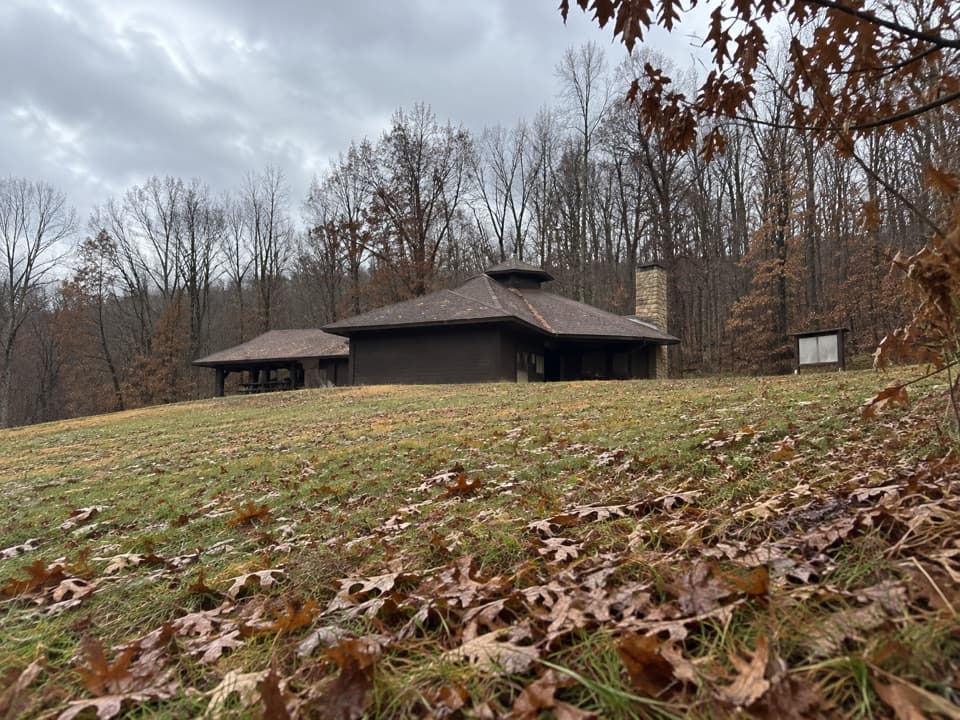
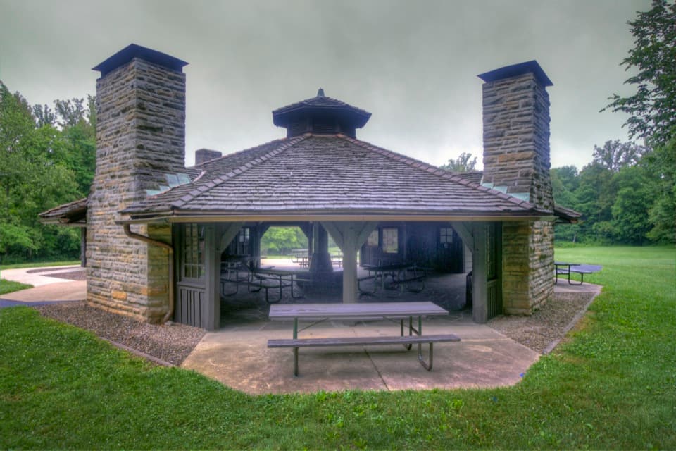
  • Octagon Shelter and Pine Grove Trail
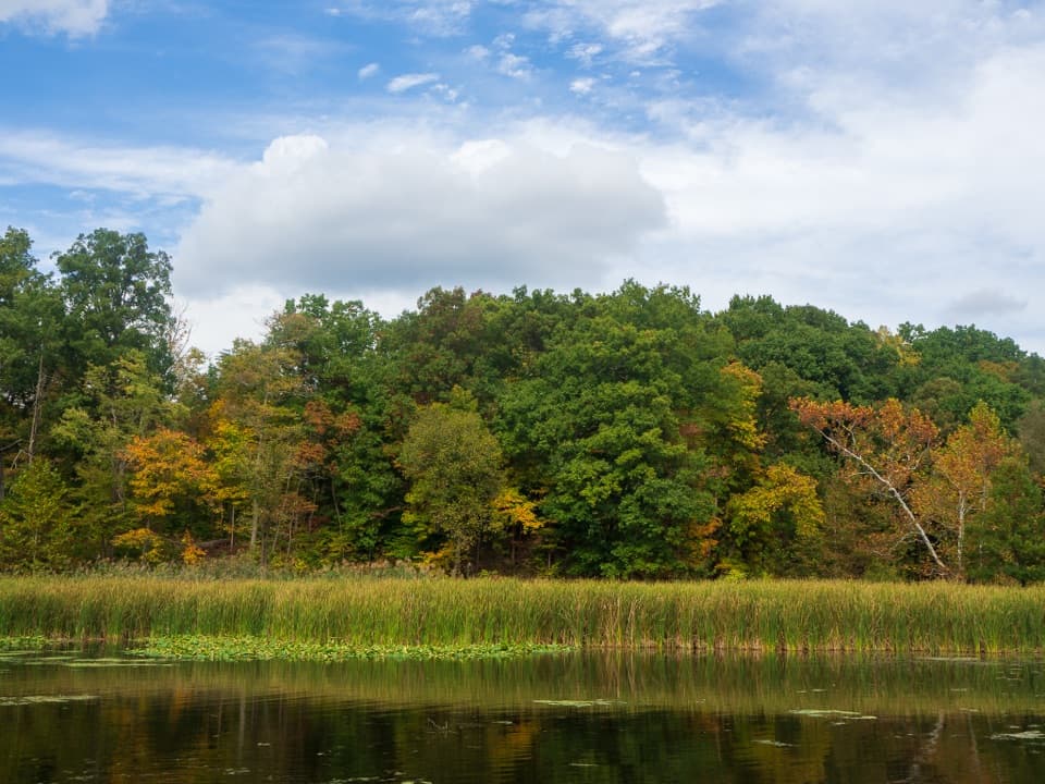
  • Kendall Lake
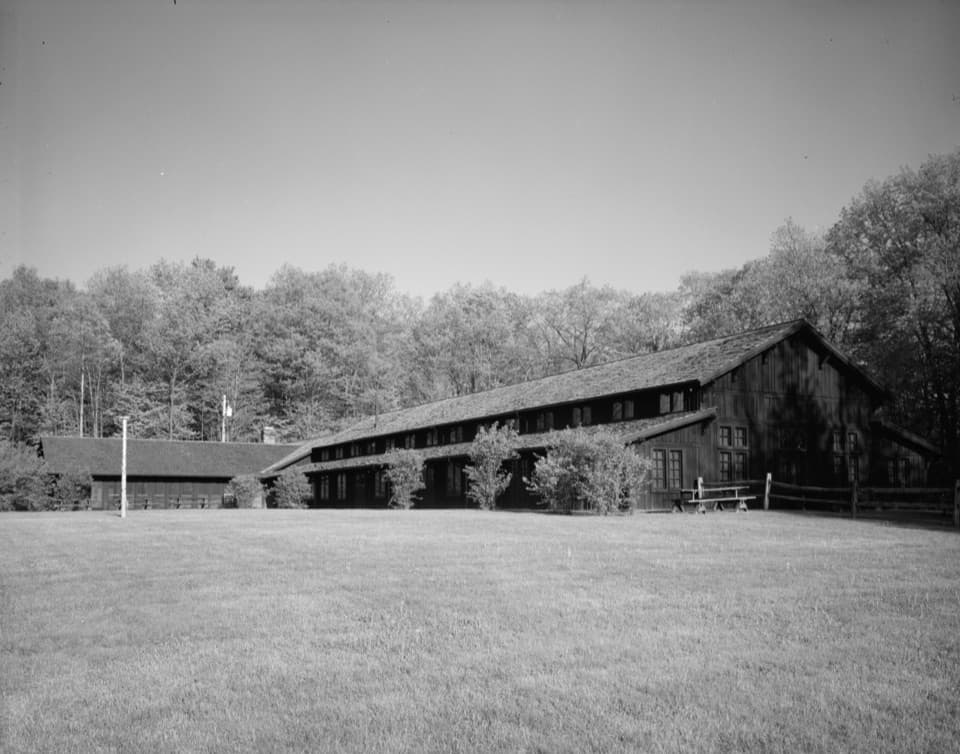
  • Happy Days Lodge
  • The Soldier Who Never Came Home
  • 97 audio storiesacross Cuyahoga Valley’s roads, triggered by GPS as you drive
  • Wildlife heatmapsfor Bald Eagle, River Otter, Coyote, and 13 more
  • Works offlinemaps, 63 trails, 88 places, and audio download before you lose signal
  • CarPlay readysimple controls built for the drive
★★★★★
“Fantastic app with many points of information… It’s great to just turn on while you’re driving and it gives you an audio tour of the national Park. We love it!!!!”
JMJamesApp Store review
Download Parkwolf on the App StoreGet Parkwolf on Google Play

4.7 from 8,600+ ratings

Guide

More about The Ledges

A sandstone walk with a west-facing viewThe Ledges are a sandstone-and-conglomerate outcrop on a wooded plateau, with narrow rock…

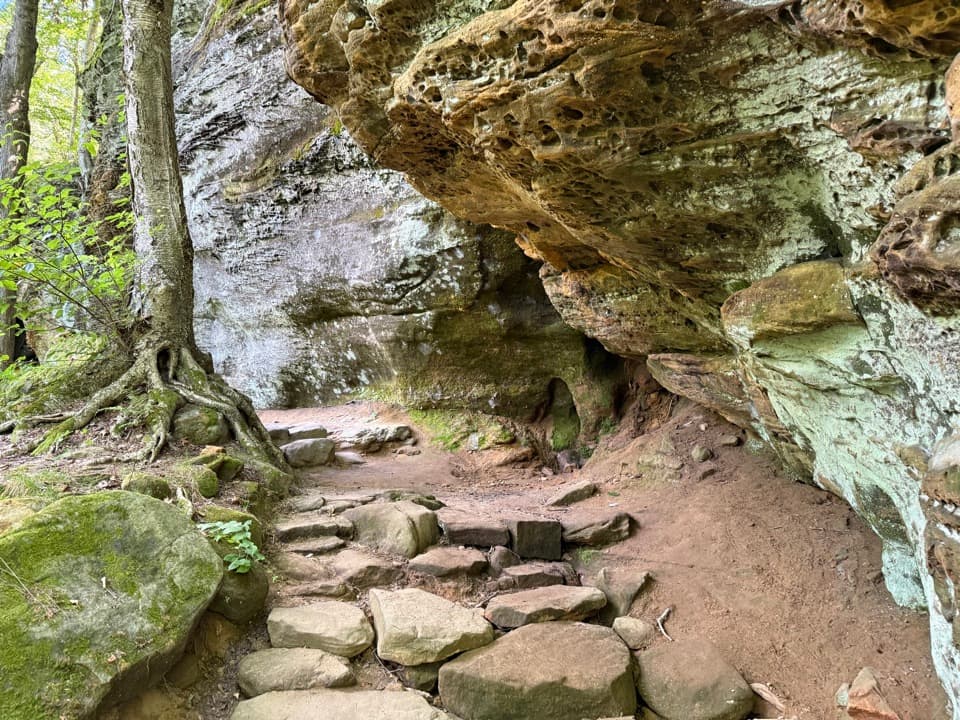
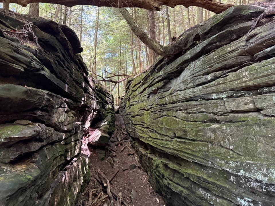
The Ledges are a sandstone-and-conglomerate outcrop on a wooded plateau, with narrow rock passages and a natural overlook toward the Cuyahoga Valley. Make time for the walk among the cliffs, not just the view: the weathered walls and crevices are the more distinctive part. The west-facing overlook is worth a pause, though tree cover can keep it from feeling like a wide-open panorama.

Take the loop or the shortcutStart at Ledges Trailhead.

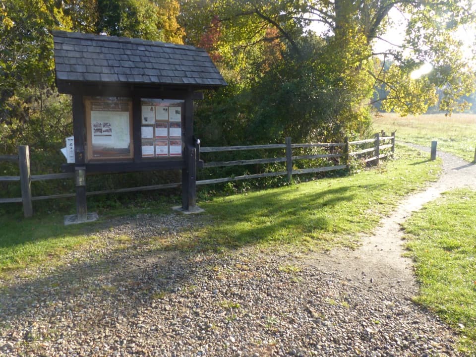
Start at Ledges Trailhead. The full trail circles the plateau through woods, rock formations and uneven steps; a shortcut across the grassy field reaches the overlook more directly. Take the loop for the close-up cliffs, or cut across the field if the view is your main goal. The rocky route isn't accessible to visitors with mobility impairments. Dogs are allowed. A large parking lot serves the trailhead, and there’s a picnic table at the overlook.

The rock records an ancient riverThese cliffs are made of Sharon Sandstone and Conglomerate.

These cliffs are made of Sharon Sandstone and Conglomerate. About 315–320 million years ago, fast-running streams carried sand and quartz pebbles across a steamy swamp; those deposits eventually hardened into rock. Look closely at the walls for the rounded pebbles locked into the conglomerate.

A cool, damp pocketRain works through the ledges like a sponge, leaving this outcrop cooler and moister than the…

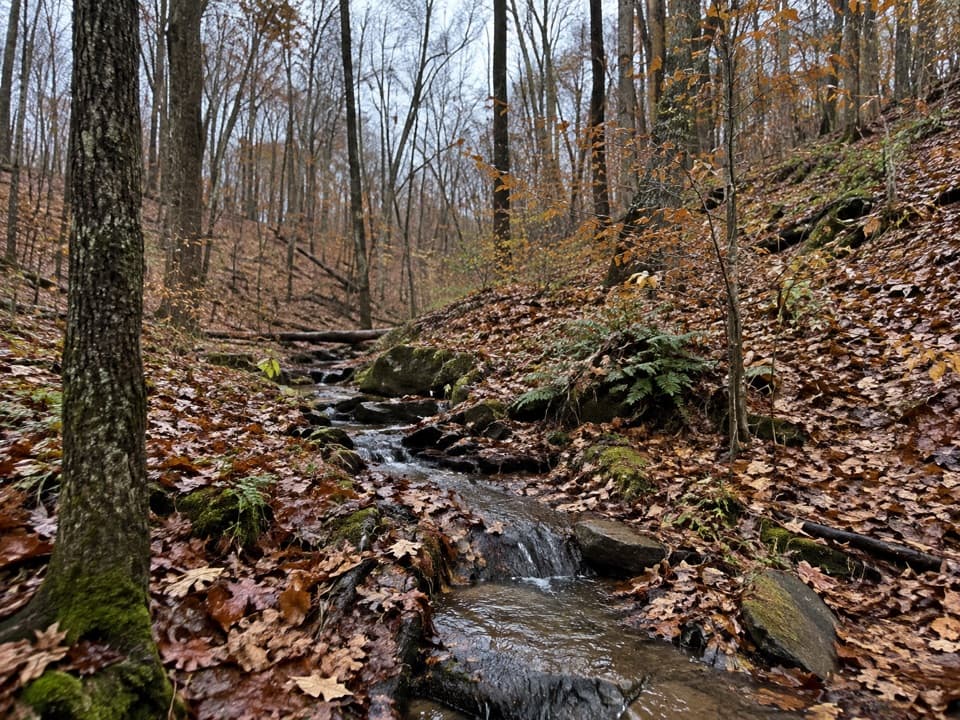
Rain works through the ledges like a sponge, leaving this outcrop cooler and moister than the surrounding woods. Eastern hemlocks, mosses and ferns hold to its crevices. Listen for black-throated green warblers, too. Some plants in these cool pockets have survived here since near the end of the Ice Age.

The story behind Virginia KendallRitchie Ledges drew visitors in the 19th century.

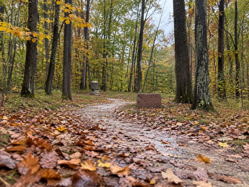
Ritchie Ledges drew visitors in the 19th century. Cleveland industrialist Hayward Kendall left 430 acres around the outcrop to the Akron park district, creating Virginia Kendall Park in honor of his mother. Civilian Conservation Corps crews built trails and shelters in the 1930s, but the stone steps may be older: a 1906 newspaper photo shows a similar set, and their origin is still unsettled.

Frame the rocks, then look westFrom the bare rock platform, look west across the valley; sunset and fall color are especially…

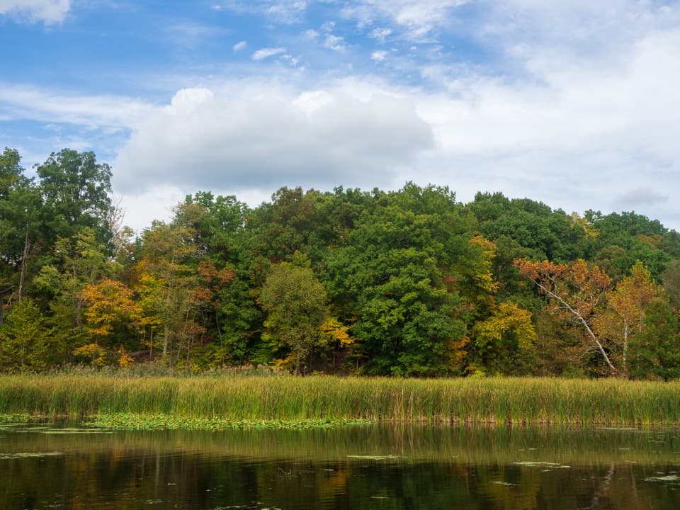
From the bare rock platform, look west across the valley; sunset and fall color are especially popular. Trees can screen a broad panorama when they’re in leaf, so include the layered sandstone and crevices in your photos as well. A clear evening gives sunset color its best chance to show.

Wildlife

Wildlife in Cuyahoga Valley

All Cuyahoga Valley wildlife maps

Sighting maps show where each species has been reported across Cuyahoga Valley. Wildlife moves, so no sighting is guaranteed.

Keep exploring

Near The Ledges

See it all on the map

Trails nearby

More stops nearby

Parkwolf’s Cuyahoga Valley ranking

Top sights in Cuyahoga Valley

All 88 places
  1. 1Brandywine FallsSight
  2. 3Beaver MarshSight
  3. 4Blue Hen FallsSight
  4. 5Hale Farm & VillageSight
  5. 6Everett Covered BridgeSight
  6. 7Rockside StationSight

Take Parkwolf to Cuyahoga Valley.

The audio tour guide for the drive, plus offline maps, trails, and wildlife heatmaps for when the signal drops.

4.7 from 8,600+ ratings

Download Parkwolf on the App StoreGet Parkwolf on Google Play