Brandywine Falls in Cuyahoga Valley National Park

#1 of 58 sights in Cuyahoga Valley

Sight · Cuyahoga Valley National Park

Brandywine Falls

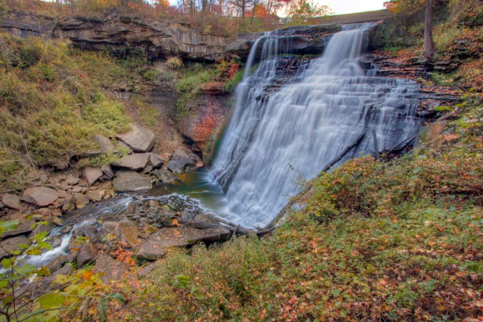
A short boardwalk reveals a 60-foot waterfall and wooded gorge.

Photo: Wikimedia Commons
Type
Sight
Nearest trail
0.1 mi
Audio stories
13 nearby
  • Trailhead
  • Scenic viewpoint
  • Parking
  • Restrooms

Hear the audio tour

Brandywine Falls

Overview

About Brandywine Falls

Why stop

  • A short boardwalk reaches a dramatic waterfall with upper and lower views.
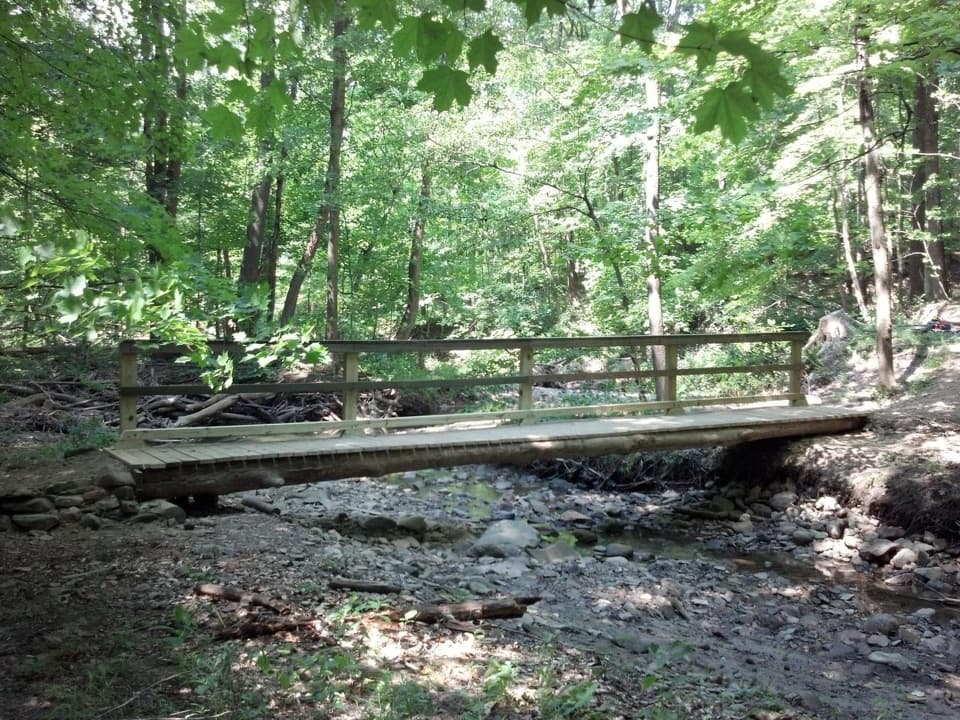
  • The gorge loop adds a wooded walk and footbridge.

Heads up

  • The lower waterfall deck requires about 80 steps.
  • The lot can fill on pleasant summer days, with no overflow parking.

Map

Where it is

Loading the Cuyahoga Valley map
Full map
SightBrandywine Falls41.27683, -81.53845
Keep this map with you offline in the Parkwolf app

Plan your stop

Before you go

5 active Cuyahoga Valley alerts

  • ClosureStanford-area closures for pavement removalMentions this placeA contractor is removing old pavement, closing former Stanford Road between Stanford Trailhead and the Brandywine Gorge Loop, the north half of Stanford Trailhead parking lot, and a section of the…Official details
  • ClosureTowpath Trail closed: Boston to Lock 29The Towpath Trail is closed from Boston Trailhead to Lock 29 in Peninsula during the August 24–November 20, 2026 work period.Official details
See all 5 alerts
A park ranger sits on a dash-mounted phone, talking, as Parkwolf’s Tour Guide plays “Army Cutworm Moths: A Grizzly Bear Buffet” on Grand Loop Road below Dunraven Pass in Yellowstone
Parkwolf Tour GuideThe highest, rockiest slopes around here are a summer buffet for grizzly bears.

Cuyahoga Valley Tour Guide

Your drive to Brandywine Falls, narrated.

Parkwolf is a GPS audio tour guide for Cuyahoga Valley National Park. As you drive, it chimes in with what’s ahead: hidden gems, upcoming stops, history, geology, and wildlife, right through your car’s speakers.

See the Cuyahoga Valley audio tour

Recorded for this place

Brandywine Falls
0:00 / 0:32
“You're coming up on Brandywine Falls, where a short boardwalk leads to a sixty-foot waterfall. Do this one even if you don't want a hike; about half an hour gives you time to enjoy the falls.”

Plays as you drive up to Brandywine Falls in the Parkwolf Cuyahoga Valley Tour Guide.

More stories near here in the app

  • The Village Powered by the Falls
  • A Flower That Makes Heat
  • Stanford House and Stanford Trail
  • A Grove That Could Be One Plant
  • 97 audio storiesacross Cuyahoga Valley’s roads, triggered by GPS as you drive
  • Wildlife heatmapsfor Bald Eagle, River Otter, Coyote, and 13 more
  • Works offlinemaps, 63 trails, 88 places, and audio download before you lose signal
  • CarPlay readysimple controls built for the drive
★★★★★
“Fantastic app with many points of information… It’s great to just turn on while you’re driving and it gives you an audio tour of the national Park. We love it!!!!”
JMJamesApp Store review
Download Parkwolf on the App StoreGet Parkwolf on Google Play

4.7 from 8,600+ ratings

Guide

More about Brandywine Falls

The quick visitBrandywine Falls is a 60-foot waterfall on Brandywine Creek, dropping over layered rock into a…

Brandywine Falls is a 60-foot waterfall on Brandywine Creek, dropping over layered rock into a wooded gorge. It is one of Cuyahoga Valley’s signature stops, and the boardwalk makes it a worthwhile visit even when you only have time for the falls. Give the boardwalk visit about 30 minutes; add the 1.5-mile Brandywine Gorge Loop if you want a proper walk.

On pleasant summer days the lot often fills between about 10 a.m. and 4 p.m., with no overflow parking. Go early or later. A stair-free boardwalk reaches an upper view; the lower deck gives you the head-on view but takes about 80 steps down. The boardwalk can close when it is icy.

The water and the ledgesWith less water, the cascade separates into a thin, veil-like pattern.

With less water, the cascade separates into a thin, veil-like pattern. Storm runoff can make it swell, so the flow changes with rain and season. From the upper boardwalk you look down across the gorge; the lower deck faces the falls more directly. For a photo, keep some of the layered rock in the frame with the water so the falls do not lose their setting.

Walk down into the gorgeThe Brandywine Gorge Loop adds a wooded ravine walk to the falls. It is about 1.

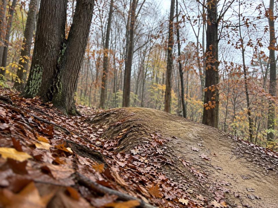
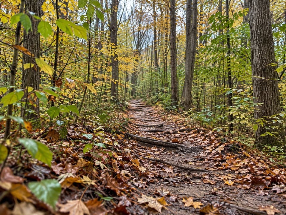
The Brandywine Gorge Loop adds a wooded ravine walk to the falls. It is about 1.5 miles, with roughly 160 feet of elevation change, and takes one to two hours. The route drops to creek level, crosses a footbridge, then climbs back past the Inn and waterfall. Expect hills and rocky, unpaved footing; the loop is not wheelchair accessible. Stick to the boardwalk if you want the waterfall without the hike.

A waterfall shaped by older rockResistant Berea Sandstone caps softer Bedford and Cleveland shales, and water wears the layers…

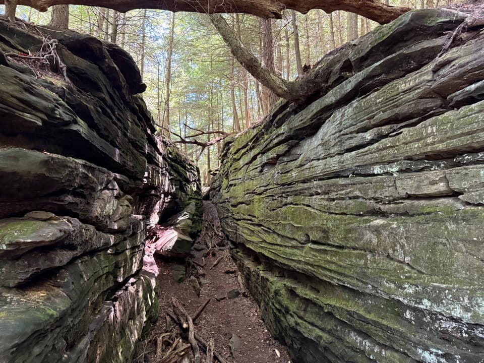
Resistant Berea Sandstone caps softer Bedford and Cleveland shales, and water wears the layers at different rates to make the falls. The shales began as mud on an ancient sea floor roughly 350 to 400 million years ago. The sandstone grains along the boardwalk were deposited in a sea about 320 million years ago. Thin layers of shale help create the waterfall’s veil-like look. Berea sandstone was also quarried locally for building stone and canal locks.

Mills and Brandywine VillageThe falls once powered one of the valley’s early communities.

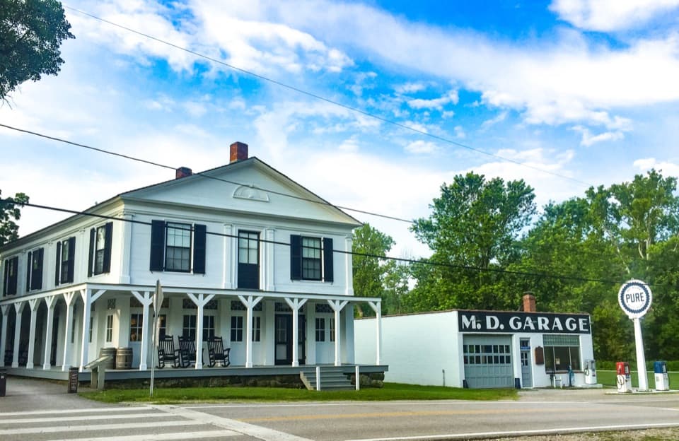
The falls once powered one of the valley’s early communities. George Wallace built a sawmill at the top of the falls in 1814, and grist and woolen mills followed as Brandywine Village grew. The Wallace family later produced animal feed and whiskey as well as wool. The 1848 James Wallace House survives as the Inn at Brandywine Falls; the gristmill foundations and other traces are reminders of the settlement. Canal trade bypassed the village, railroads hastened its decline, and later highway construction removed much of it.

At the trailheadThe paved lot has 90 spaces, including four ADA-designated spaces and four van-accessible…

The paved lot has 90 spaces, including four ADA-designated spaces and four van-accessible spaces, and also serves the nearby Summit Metro Parks Hike and Bike Trail. There are public flush restrooms, a bottle-filling station, benches and a picnic table; drinking water is seasonal. The lower waterfall deck requires stairs, but the upper boardwalk view is reachable without them.

Wildlife

Wildlife in Cuyahoga Valley

All Cuyahoga Valley wildlife maps

Sighting maps show where each species has been reported across Cuyahoga Valley. Wildlife moves, so no sighting is guaranteed.

Keep exploring

Near Brandywine Falls

See it all on the map

Trails nearby

More stops nearby

Parkwolf’s Cuyahoga Valley ranking

Top sights in Cuyahoga Valley

All 88 places
  1. 2The LedgesSight
  2. 3Beaver MarshSight
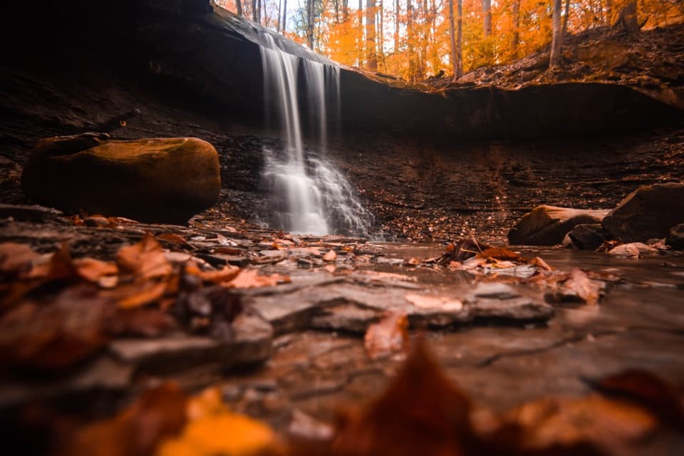
  3. 4Blue Hen FallsSight
  4. 5Hale Farm & VillageSight
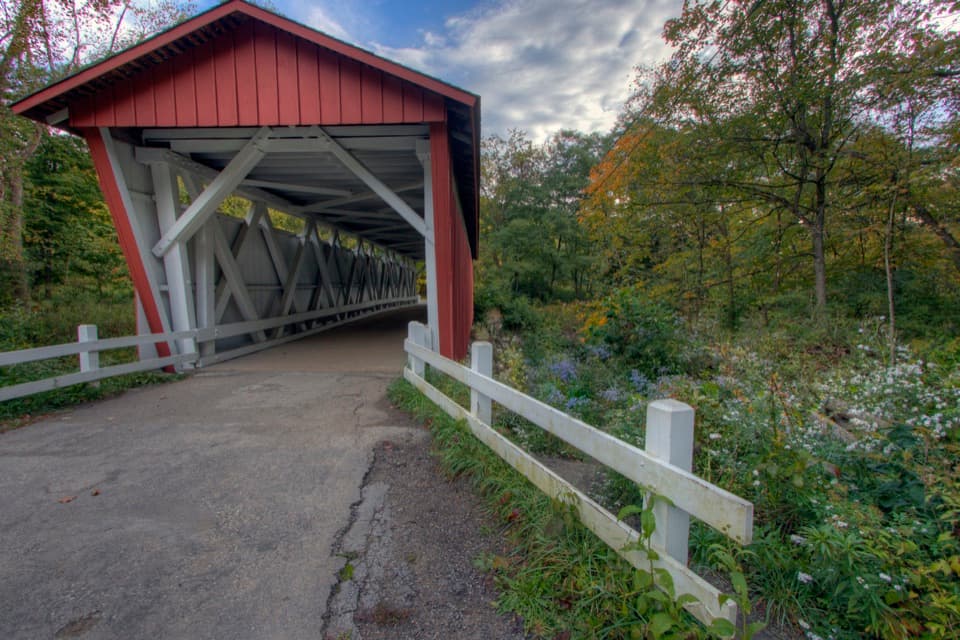
  5. 6Everett Covered BridgeSight
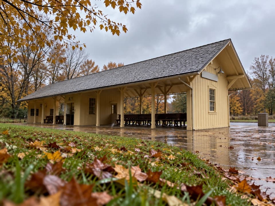
  6. 7Rockside StationSight

Take Parkwolf to Cuyahoga Valley.

The audio tour guide for the drive, plus offline maps, trails, and wildlife heatmaps for when the signal drops.

4.7 from 8,600+ ratings

Download Parkwolf on the App StoreGet Parkwolf on Google Play