
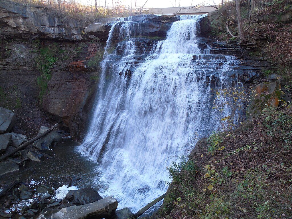
Place
Moderate
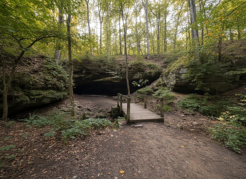
This is a moderate 3.9–4.0 mile loop that strings together wooded ridges, shaded ravines, and multiple creek crossings to reach the namesake Deer Lick “Cave” — actually a shallow Berea Sandstone overhang. Expect around 500 feet of total elevation gain, spread out in rolling climbs with a few short, steep pitches and stair sections. The tread is mostly dirt, sometimes rocky or rooty, and it gets muddy after rain.
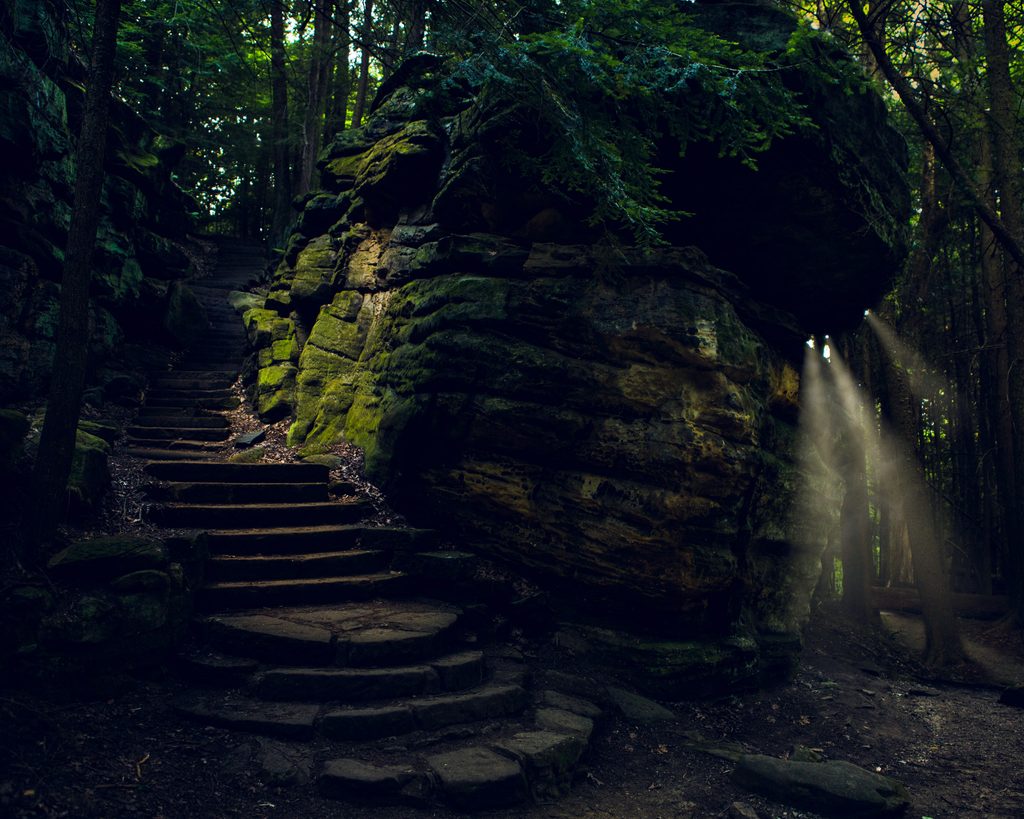
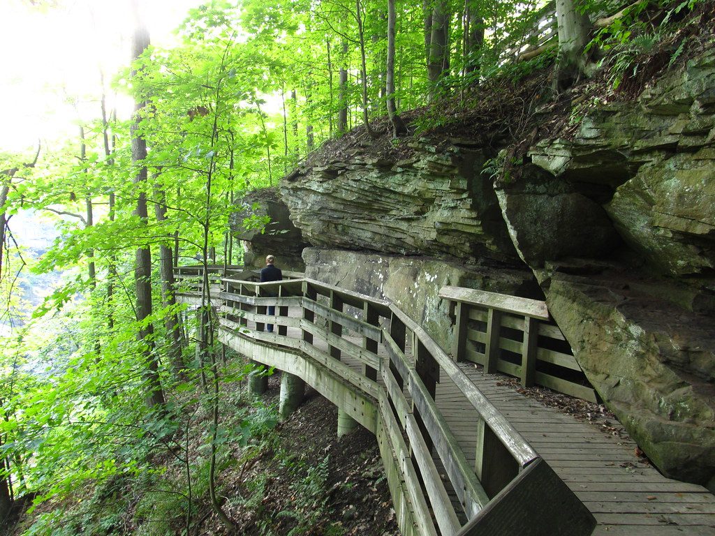
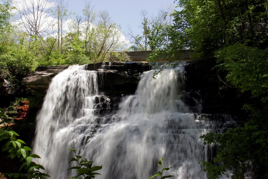
The loop packs in variety: timber stairs up and down ravines, little bridges and boardwalk bits, and a brief overlap with the blue-blazed Buckeye Trail. The overhang is especially photogenic after wet weather when a small, seasonal waterfall trickles over the ledge; in winter you may find icicles. If you only have a few minutes, there’s a very short path (under ~100 yards) from the cave-side parking to a viewpoint — just know that quick stop can feel underwhelming compared to the full loop experience.
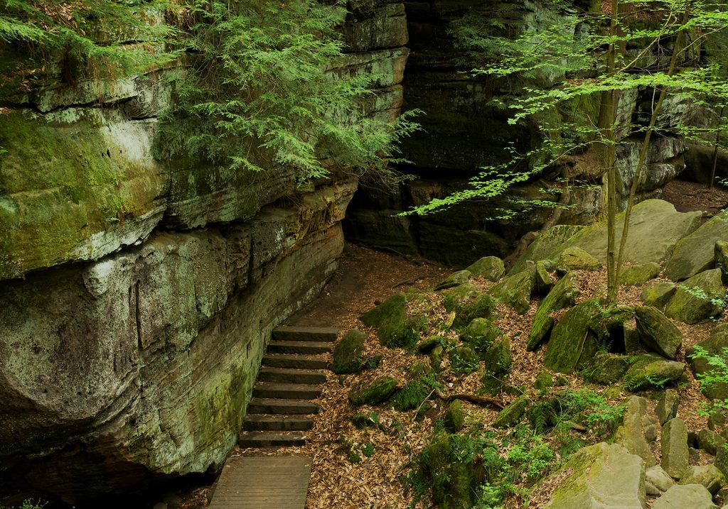
Starting from the Brecksville Nature Center area, you’ll drop a staircase into a ravine, cross a small bridge, then climb back out before settling into rolling singletrack through beech-maple forest. Midway, the route tackles its punchiest climbs near Valley Parkway, then joins a stretch of the Buckeye Trail (follow the blue blazes) before descending to the sandstone overhang framed by boulders and a slow-moving stream. The final leg returns over more bridges and gentle ups and downs to close the loop.
For the full loop with facilities, start at the Brecksville Nature Center on Chippewa Creek Drive; you’ll find restrooms, water, and maps. For a quick look at the overhang, use the small Deer Lick Cave Trailhead on Valley Parkway — parking here is limited and fills fast in warm months and on weekends. Dogs are allowed but must be leashed.
After rain, the trail’s character changes: expect slick roots, wet rock, and churned-up mud in low spots. Wayfinding is generally good, but a few junction signs can confuse; bring a map and keep an eye on blazes (blue where it coincides with the Buckeye Trail). You’ll encounter steps, short boardwalks, and a handful of small stream crossings.
The “cave” is a recess cave formed in Berea Sandstone by water-driven erosion. The site’s name comes from deer historically licking trace salts in the stone, a mineral they seek out. Forested segments are shaded much of the year, with ferns and mossy rock adding to the ravine feel. Wildlife sightings often include deer, squirrels, and a variety of birds.
Year-round is fair game, with different personalities by season: flowering trees in spring, cool shade in summer, standout color in autumn, and delicate icicles in winter. If you’re chasing the trickling falls over the ledge, go after a good rain — just wear traction you trust and be ready for mud.
Best start at Brecksville Nature Center (Chippewa Creek Dr) for the full loop with restrooms and water. A small lot on Valley Parkway offers a very short walk to the overhang but fills quickly.
Expect mud and slick roots/steps after rain; several stair climbs and short steep pitches; a few junctions can be misleading—carry a map and watch blazes.
Place
Place
Place
Place
Easy
Moderate
Easy
Moderate

Parkwolf Tour Guide
