
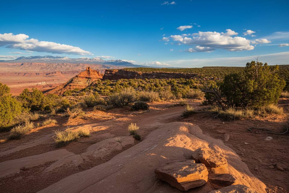
Place · 0.2 mi away
Moderate
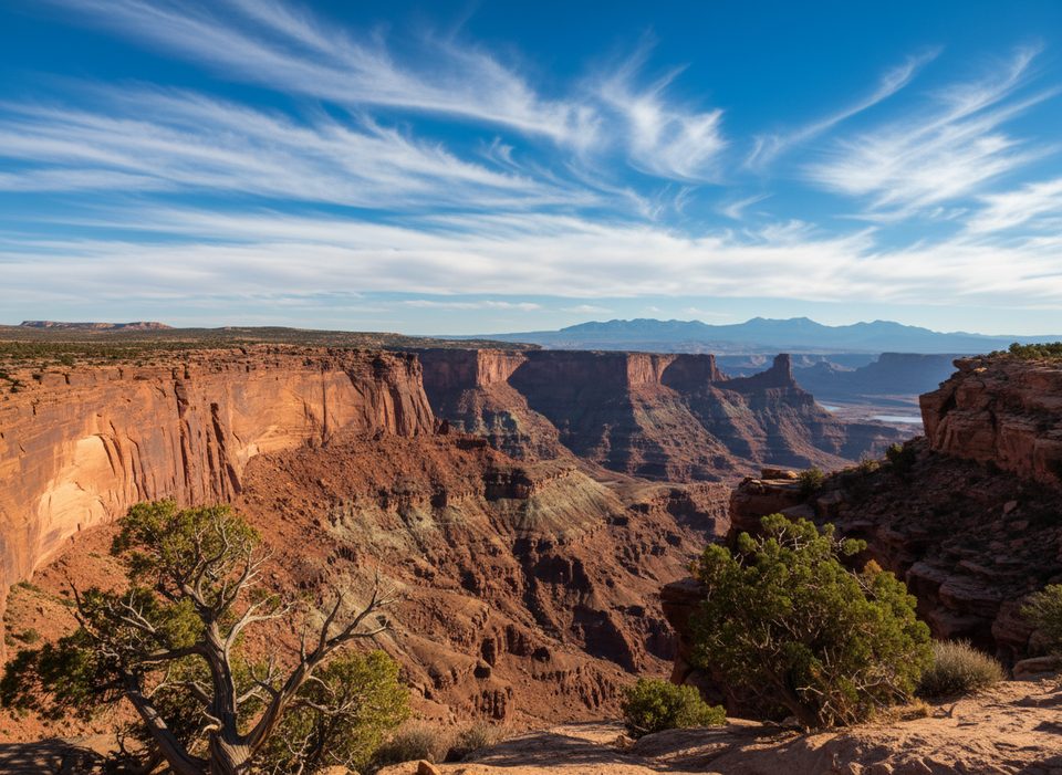
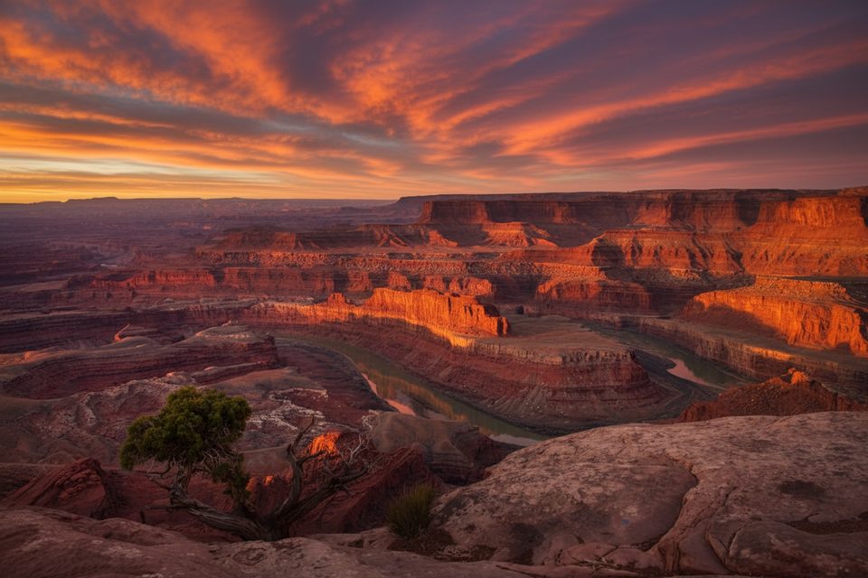
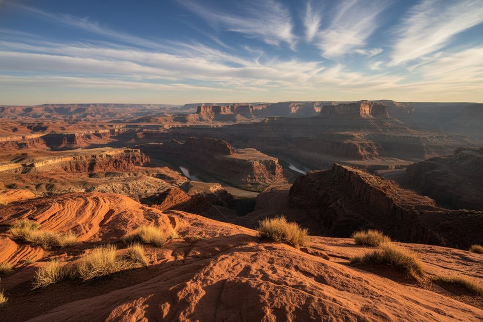
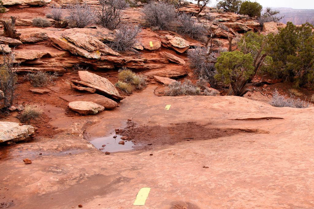
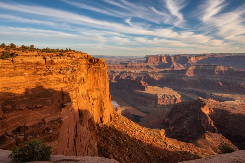
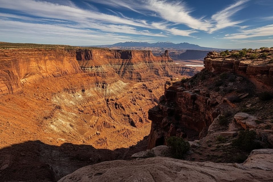
The Big Chief loop is the outer, and most adventurous, circuit of Dead Horse Point’s Intrepid Trail System. From the visitor-center lot you roll out on a short connector, then commit to roughly **5.5 mi of single-track (total loop distance)** perched around 6,000 ft. The opening half-mile throws a few short, punchy climbs and the first taste of the trademark “alligator-back” slickrock—rippled Navajo sandstone that feels like walking a frozen wave. Once you’re on the rim the grade relaxes and the miles flow by with **uninterrupted canyon panoramas**.
Intermediate hikers and confident beginners get the sweet spot here: just technical enough to stay interesting, never so hard that it turns into chore. Families used to uneven ground do fine, but the cliff edge sneaks up in places and there’s almost zero shade. If you hate exposure, blazing sun, or sharing track with the occasional mountain bike, pick another loop.
Plan on **about 3 hours of walking**; bring every drop of water you’ll need—no sources on the mesa. A Utah State Park entry fee is required, but no additional permits. Dogs are welcome on a leash. Bike racks sit at the big overlooks so everyone can wander to the viewpoints together. Expect cell service to be spotty, and carry a map or download the track.
For half-a-day’s effort you get slickrock play, quiet tread, and mile-wide vistas. If you’re already in the park, skipping Big Chief would be a mistake.
Dead Horse Point Visitor Center main lot; trail spur leaves from north end.
Carry all water, leash pets, and keep kids from unguarded rim drops.
Place · 0.2 mi away
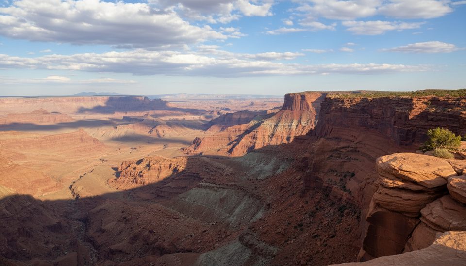
Place · 0.6 mi away
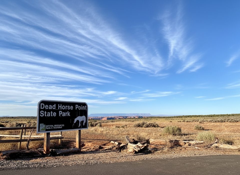
Place · 0.8 mi away
Place · 1.1 mi away
Easy · 0 mi away
Easy · 0 mi away
Easy · 0 mi away
Easy · 0 mi away

Parkwolf Tour Guide
