1 active Denali alert
- InfoDenali Park Road open to Mile 3The Denali Park Road is open to vehicles only as far as Mile 3 (Park Headquarters); snow beyond that point prevents vehicle travel, though pedestrians may continue.Official details
Sight · Denali National Park
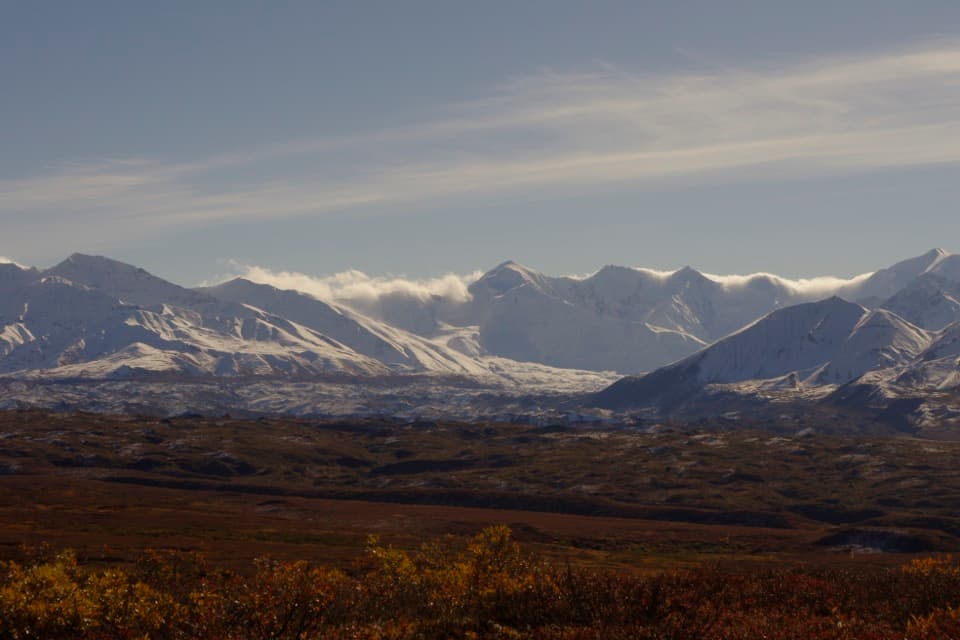
A mile-69 roadside view of a glacier with a restless past.
Photo: NPS
Overview
Map
Plan your stop

The highest, rockiest slopes around here are a summer buffet for grizzly bears.
Denali Tour Guide
Parkwolf is a GPS audio tour guide for Denali National Park. As you drive, it chimes in with what’s ahead: hidden gems, upcoming stops, history, geology, and wildlife, right through your car’s speakers.
See the Denali audio tourRecorded for this place
Muldrow Glacier Viewpoint“You're coming up on the Muldrow Glacier viewpoint. Look south for a broad, rocky mass that blends into the tundra; shrubs grow over parts of the lower ice, so don't expect a blue ice wall.”
Plays as you drive up to View of the Muldrow Glacier in the Parkwolf Denali Tour Guide.
More stories near here in the app
“Fantastic app with many points of information… It’s great to just turn on while you’re driving and it gives you an audio tour of the national Park. We love it!!!!”


Guide
This is the south-facing road view of the Muldrow Glacier near mile 69 of Denali Park Road. The glacier runs about 34 miles, the longest on the north side of the Alaska Range. Keep this stop if you want to see a glacier that looks more like a broad, rocky tundra slope than a bright blue ice wall. The lower glacier stays visible from the road for several miles, so watch south along this stretch. Getting this far usually means traveling beyond the front-country road by park bus, and access depends on how far the road is open.
The lower seven miles of the glacier have stopped moving. Their hummocks of ice and rock are covered in shrubs, so the glacier blends into the surrounding tundra. The upper 27 miles still flow slowly downhill and carry rocky debris along with them.
The Muldrow is one of Denali's confirmed surging glaciers. A surge moves ice from higher on the glacier toward its lower end, sometimes up to 100 times faster than its usual pace; the front can advance several miles in a year or two without the glacier gaining mass overall. The lower ice and debris were laid down in surges as far back as about 1,800 years ago, with younger moraines from roughly 900 years ago and surges around 1905 and 1956–57.
The Muldrow turns about 90 degrees, flowing east from the mountains before heading north. Part of its route follows a weakness in the rock along the McKinley Strand of the Denali Fault, which helps explain the unusual bend.
The debris-covered terminus can disappear into the tundra at a glance. Include some of the foreground shrubs and the surrounding mountain slopes in a photo; they help show where the glacier ends and the landscape begins.
Wildlife
 716 sightingsGrizzly BearMost seen around 8 PMSighting map
 74 sightingsWolfMost seen around 8 PMSighting map
 49 sightingsCanada LynxMost seen around 9 PMSighting map
 797 sightingsMooseMost seen around 7 AMSighting map
 918 sightingsCaribouMost seen around 7 AMSighting map
 406 sightingsDall's SheepMost seen around 7 PMSighting map
Sighting maps show where each species has been reported across Denali. Wildlife moves, so no sighting is guaranteed.
Keep exploring
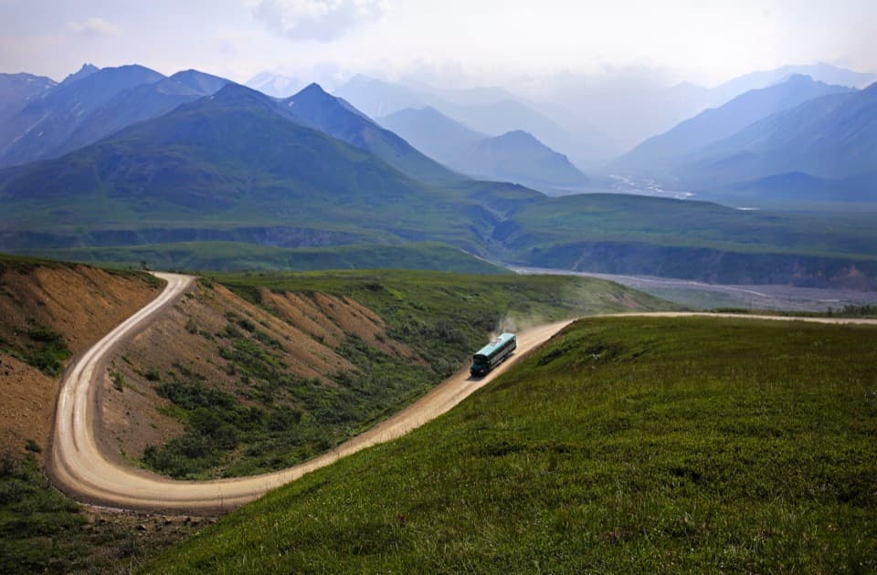 ChallengingThorofare Ridge Trail1.6 mi · 2 hr · 2.4 mi awaySteep switchbacks, open tundra and clear-day views of Denali.
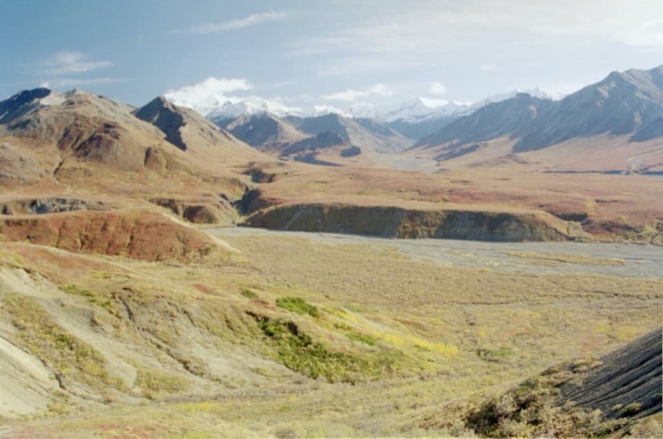 EasyTundra Loop0.4 mi · 20 min · 2.4 mi awayA short alpine loop with Denali views on clear days.
Parkwolf’s Denali ranking

The audio tour guide for the drive, plus offline maps, trails, and wildlife heatmaps for when the signal drops.