Parking
Start at Eielson Visitor Center, Mile 66 of the Park Road. Private vehicles are limited to Mile 15; reach Eielson by park bus, bicycle or on foot.
#5 of 21 trails in Denali
Denali National Park, AK
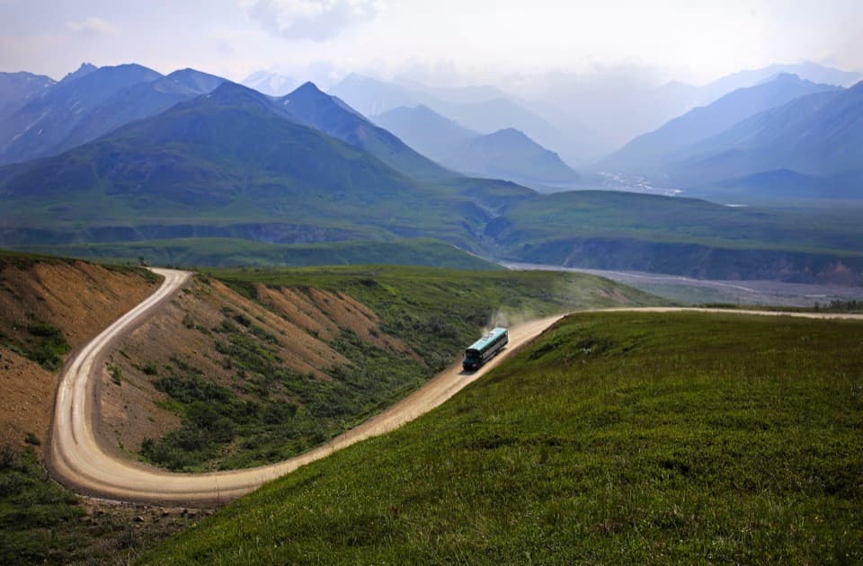
Steep switchbacks, open tundra and clear-day views of Denali.
Overview
Map & elevation
Plan your hike

The highest, rockiest slopes around here are a summer buffet for grizzly bears.
Denali Tour Guide
Parkwolf is a GPS audio tour guide for Denali National Park. As you drive, it chimes in with what’s ahead: hidden gems, upcoming stops, history, geology, and wildlife, right through your car’s speakers.
See the Denali audio tourRecorded for this trailhead
Eielson Visitor Center“Eielson Visitor Center is coming up, built into the hillside with wide windows facing the Alaska Range.”
Plays as you drive up to this trailhead in the Parkwolf Denali Tour Guide.
More stories near here in the app
“Fantastic app with many points of information… It’s great to just turn on while you’re driving and it gives you an audio tour of the national Park. We love it!!!!”


Trail guide
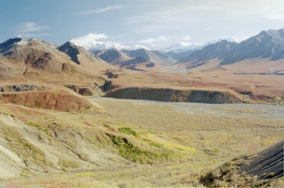
Thorofare Ridge Trail is a 0.8-mile one-way switchback from Eielson Visitor Center to the ridge; return the same way for 1.6 miles round trip. Plan on about two hours, with roughly one hour in each direction. It gains around 1,000 feet, so the distance looks modest but the climb is hard. Go for a quick high-country push if you want mountain views, not a gentle stroll.
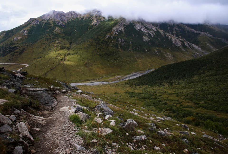
The route climbs over native soil and rock on a roughly 24-inch-wide path, with grades up to 25 percent. The switchbacks lead directly to the ridge. This is an out-and-back, so save enough energy for the same steep route down.
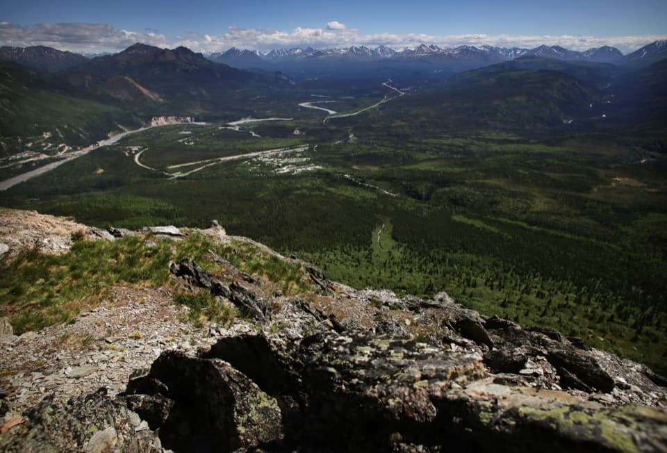
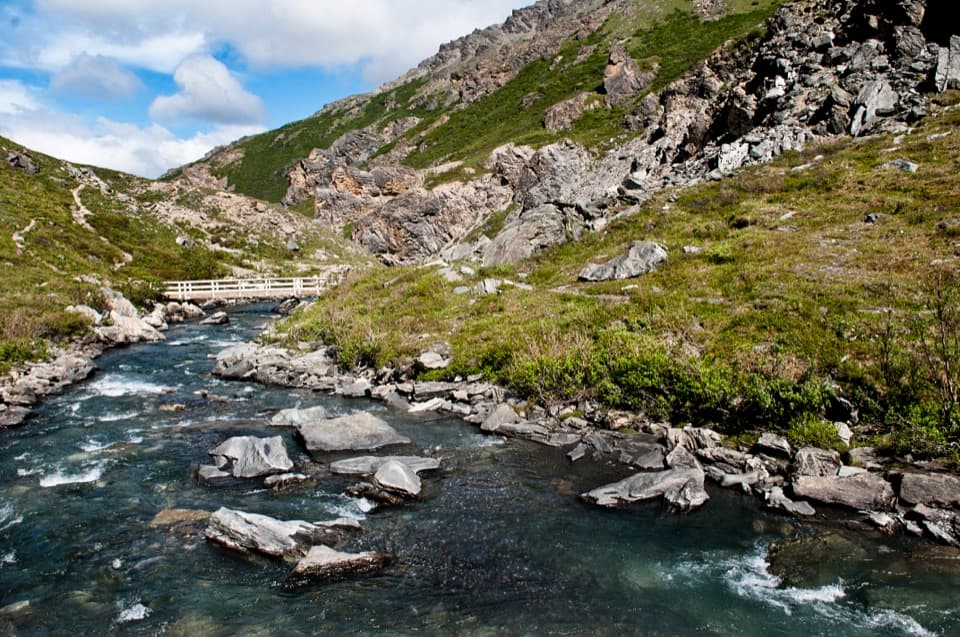
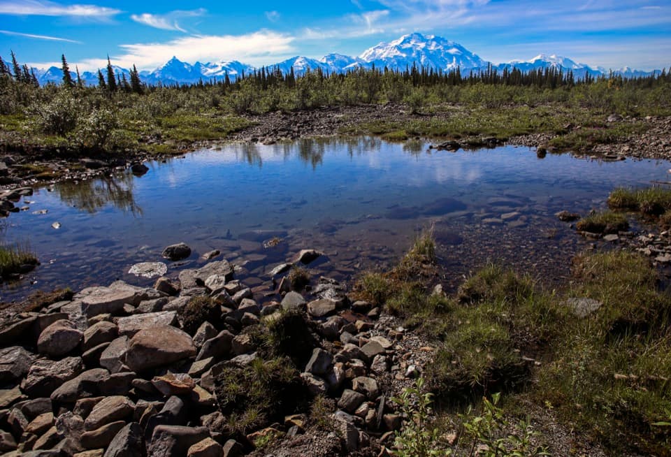
On a clear day, the ridge opens over wide tundra to Denali and the surrounding mountains. The Park Road winds below the trail, making a strong foreground for a photo when the sky is clear. Summer rain is likely and snow is possible; the park advises staying off high ridges and exposed places during storms.
The trail leaves from Eielson Visitor Center on Park Road Mile 66. Private vehicles are limited to Mile 15, so the rest of the road is traveled by park bus, bicycle, or on foot. Pets aren't allowed on park trails or buses; qualified service animals are allowed. There is no food service in the park, but you can refill water bottles and use seasonal restrooms at Eielson. For a shorter, flatter walk, the nearby Tundra Loop is about 0.3 mile through alpine country, with little change in grade.
Wildlife
 716 sightingsGrizzly BearMost seen around 8 PMSighting map
 74 sightingsWolfMost seen around 8 PMSighting map
 49 sightingsCanada LynxMost seen around 9 PMSighting map
 797 sightingsMooseMost seen around 7 AMSighting map
 918 sightingsCaribouMost seen around 7 AMSighting map
 406 sightingsDall's SheepMost seen around 7 PMSighting map
Sighting maps show where each species has been reported across Denali. Wildlife moves, so no sighting is guaranteed.
Keep exploring
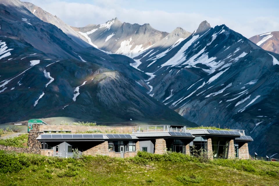 Visitor center · At the trailheadEielson Visitor CenterAn easy tundra loop or a steep ridge climb beneath Denali.
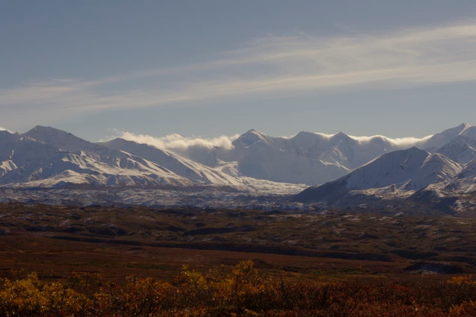 Sight · 2.4 mi awayView of the Muldrow GlacierA mile-69 roadside view of a glacier with a restless past.
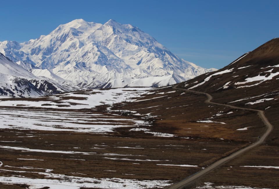 Sight · 3.2 mi awayStony Hill OverlookThe first full-height mountain view from the Park Road.
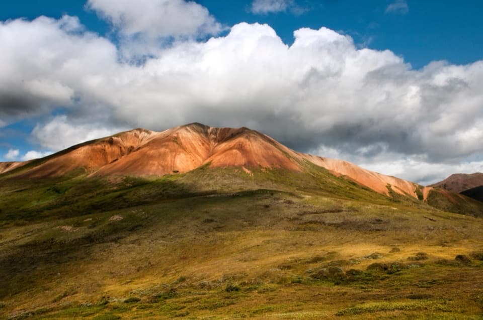 Sight · 5.5 mi awayHighway PassA high pass where one stream can change watersheds.
Parkwolf’s Denali ranking

The audio tour guide for the drive, plus offline maps, trails, and wildlife heatmaps for when the signal drops.