Overview
About Aran Fawddwy
Why stop
- Wide views from a rough, atmospheric summit ridge
Heads up
- Boggy ground and tricky navigation in cloud
Map
Where it is

The highest, rockiest slopes around here are a summer buffet for grizzly bears.
Eryri Tour Guide
Your drive to Aran Fawddwy, narrated.
Parkwolf is a GPS audio tour guide for Eryri National Park. As you drive, it chimes in with what’s ahead: hidden gems, upcoming stops, history, geology, and wildlife, right through your car’s speakers.
See the Eryri audio tourMore stories near here in the app
- The Low Flight of the Hen Harrier
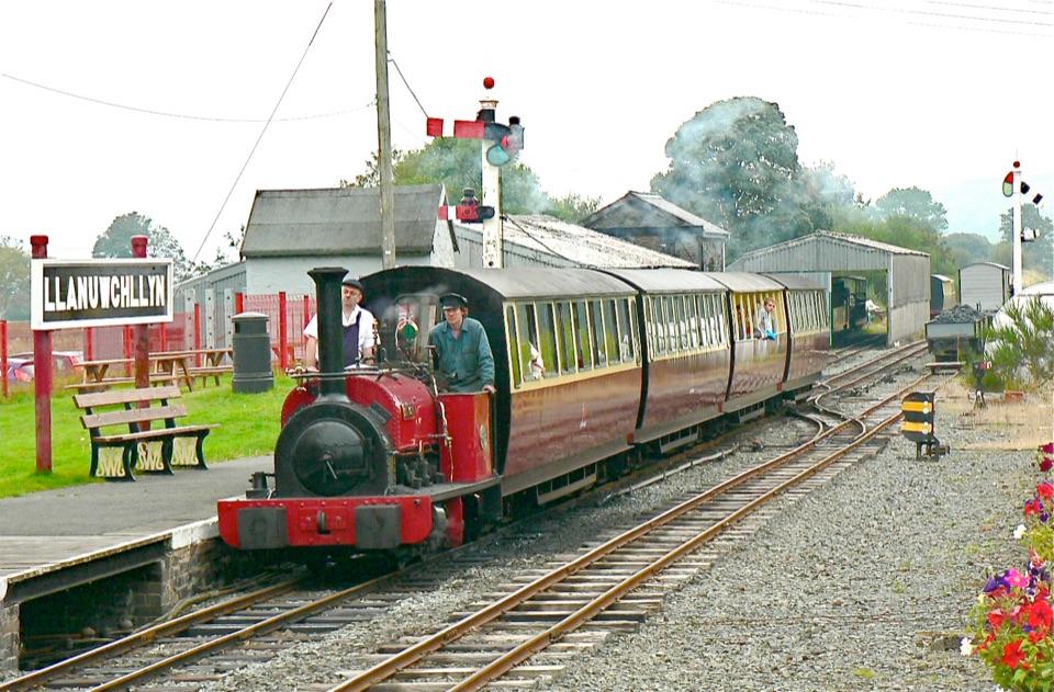
- One Railway, Two New Routes
- The Cross Above Mawddwy
- The Mapmaking Pillars
- 298 audio storiesacross Eryri’s roads, triggered by GPS as you drive
- Wildlife heatmapsfor Grey Heron, European Badger, Tawny Owl, and 10 more
- Works offlinemaps, 122 trails, 84 places, and audio download before you lose signal
- CarPlay readysimple controls built for the drive
“Fantastic app with many points of information… It’s great to just turn on while you’re driving and it gives you an audio tour of the national Park. We love it!!!!”


Guide
More about Aran Fawddwy
Why make the climb?Aran Fawddwy is a 905-metre summit in the Aran range, and the highest mountain in southern…
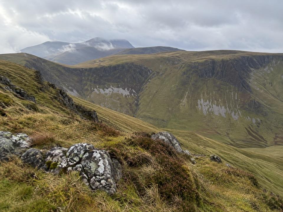
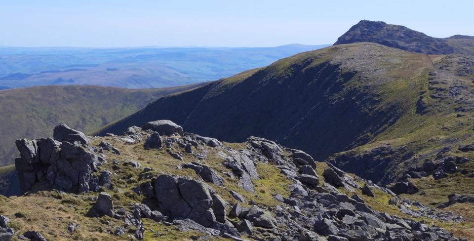
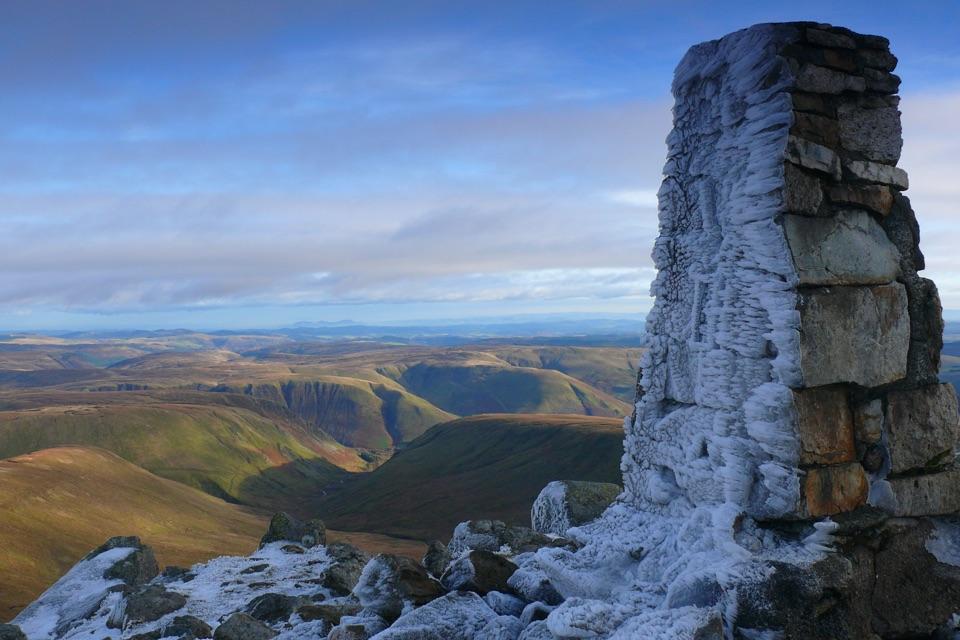
Aran Fawddwy is a 905-metre summit in the Aran range, and the highest mountain in southern Eryri. It misses the Welsh 3,000-foot list by only a few metres, but the real reward is the feeling of height and space: on a clear day, the summit looks over Creiglyn Dyfi, the long ridge to Aran Benllyn, and a broad sweep of the Berwyns, Arenigs, Rhinogydd and mid-Wales hills.
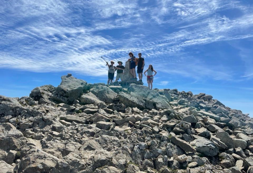
This is a proper mountain objective, not a roadside viewpoint. The summit is a rough mix of boulders, grass and a trig point, with steep crags and the corrie lake below adding drama. It is a particularly good choice if you want a high summit with quieter paths than the better-known northern peaks.
Route and effortThe classic outing starts from the National Park car park at the head of Cwm Cywarch, reached…
The classic outing starts from the National Park car park at the head of Cwm Cywarch, reached by a narrow single-track lane from Dinas Mawddwy. A typical circular route is about 12 kilometres and five to six hours, with roughly 800 metres of ascent. The climb follows the valley past Blaencywarch Farm, then heads steeply toward the col and along the ridge to the summit before returning over Drysgol and down the old peat track.
Expect steep climbing, rough rocky ground and boggy sections, including aging plank sections that can be slippery. The path is not consistently waymarked, and the fence line is useful only while visibility is good. Carry a paper map and compass and know how to use them. Keep to the signed route around the farms and close gates behind you.
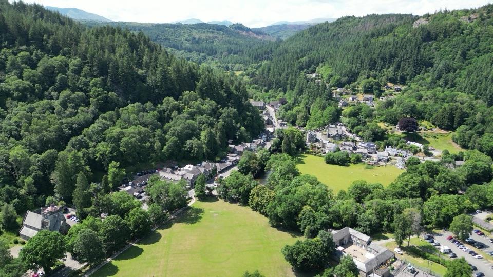
Landscape and historyCwm Cywarch is more than a starting point.
Cwm Cywarch is more than a starting point. Its hillsides retain traces of lead, iron, copper and manganese mining, while the old descent track was made for moving peat from the uplands. On the walk, look for the remains of mine workings, the old shepherding landscape, a memorial cairn to a mountain-rescue team member killed by lightning, and the Bronze Age summit cairn beside the trig point.
Plan the dayAllow enough daylight for the whole circuit.
- Allow enough daylight for the whole circuit. A clear day gives the best chance of seeing the ridge and corrie lake.
- Bring waterproof and warm layers, sturdy boots with good grip, food, water, and a charged phone kept as a backup rather than your navigation system. Do not count on services on the mountain; arrange food, water and toilets before heading into the valley.
- Cloud can erase the ridge and hide the route quickly. Winter snow, ice, wind and short daylight can turn this into a serious mountain day. Check the forecast, start conservatively and turn around if conditions outrun your experience.
- The open slopes support upland birds and wildlife, but sightings are never guaranteed. Scan the crags and moorland quietly, and keep dogs under close control around livestock and nesting birds.
Wildlife
Wildlife in Eryri
 80 sightingsGrey HeronMost seen around 7 AMSighting map
 10 sightingsEuropean BadgerMost seen around 8 PMSighting map
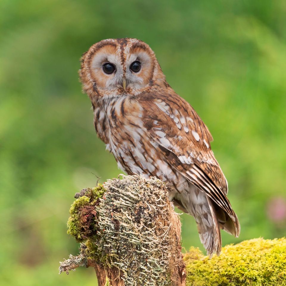 17 sightingsTawny OwlMost seen around 6 AMSighting map
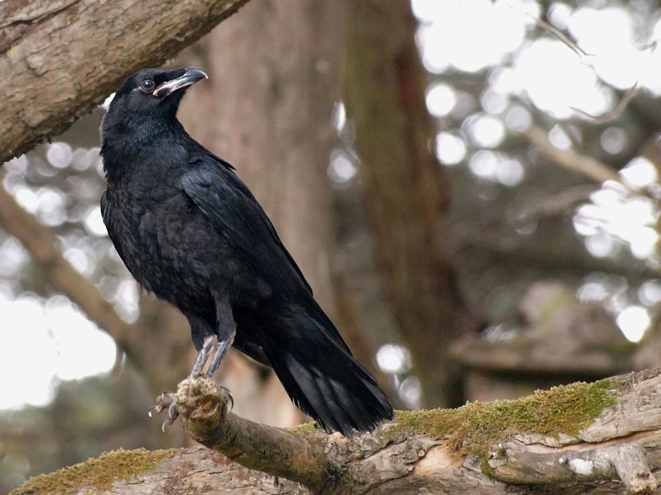 36 sightingsCommon RavenMost seen around 8 AMSighting map
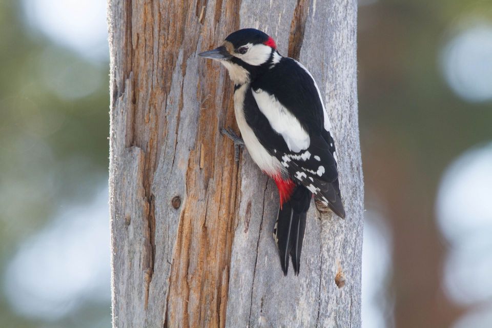 21 sightingsGreat Spotted WoodpeckerMost seen around 7 AMSighting map
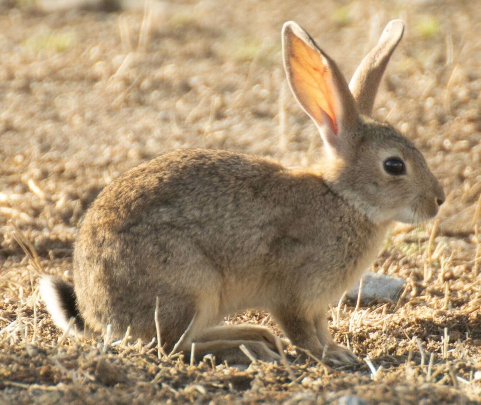 18 sightingsEuropean RabbitMost seen around 7 AMSighting map
Sighting maps show where each species has been reported across Eryri. Wildlife moves, so no sighting is guaranteed.