Parking
Start at the small car park beside the Afon Twrch in Llanuwchllyn, reached through the village from the B4403. Spaces are limited and there is no verified toilet facility at the start.
Eryri National Park, WA
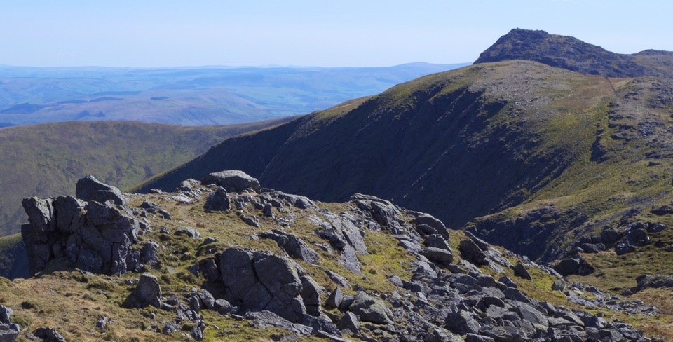
Quiet, steep ridge walk to Aran Fawddwy's rocky 905 m summit
Overview
Map & elevation
Plan your hike

The highest, rockiest slopes around here are a summer buffet for grizzly bears.
Eryri Tour Guide
Parkwolf is a GPS audio tour guide for Eryri National Park. As you drive, it chimes in with what’s ahead: hidden gems, upcoming stops, history, geology, and wildlife, right through your car’s speakers.
Recorded for this area
One Railway, Two New Routes“Near Drws-y-Nant, the A494 follows a valley where trains once ran between Bala and Dolgellau. This was part of a railway stretching from Ruabon toward Barmouth; passenger service ended in nineteen sixty-five.”
Plays on the road 1.4 km from the trailhead in the Parkwolf Eryri Tour Guide.
More stories near here in the app
“Fantastic app with many points of information… It’s great to just turn on while you’re driving and it gives you an audio tour of the national Park. We love it!!!!”


Trail guide
This is an out-and-back from the small car park at Llanuwchllyn beside the Afon Twrch, and the stored figure of 13.5 miles / 21.8 km is the full there-and-back day (the mapped corridor is 10.79 km one way). You start on a track out of the valley, pick up a bridleway and path climbing toward the crest, then work along the high ground over Aran Benllyn and the broad rocky shoulder of Erw y Ddafad-ddu to the 905 m summit of Aran Fawddwy. The return uses the same ground, so you get the ridge twice.
Allow roughly 7 to 10 hours. Some guides quote nearer seven, others closer to ten and a slightly longer distance depending on where you trace the line and start, but plan for a full mountain day rather than a half day. The climb is sustained from about 194 m in the valley to the 905 m top, and the ridge undulates, so you gain and lose height repeatedly on the way out and again on the way back. This is a serious hill walk that needs fitness, map skills and proper footwear.
Expect rocky sections, boggy patches, stiles and a fence line to follow in places, along with occasional easy scrambling. The ridge has steep drops on one side, so keep children and anyone nervous of edges well away from the crest. Wayfinding is poor in stretches and the paths are not always obvious, so carry a map and compass or GPS and know how to use them. In cloud the whole outing becomes considerably more serious.
The payoff is the long, quiet high ridge and the wide view: Llyn Tegid below to the north, Arenig Fawr, Cader Idris, Barmouth Bay and the broader spread of Eryri's mountains. Summit ground is a mix of rock and grass, which makes good foreground. Go on a day with clear visibility, since the best pictures here come from the rocky ridge line and summit shapes set against distant peaks and the lake, and low cloud simply removes the reason you came.
Settled, clear spells are what you want, whatever the season. Wet weather makes the boggy sections heavier and the rock greasier, and the ridge is exposed to wind with nowhere to shelter. Compared with the famous northern Eryri summits this is lightly travelled, so you may see very few people, though that is not a guarantee of having it to yourself.
The start is the small car park by the Afon Twrch, reached through Llanuwchllyn village off the B4403. Spaces are limited, so arrive early on fine weekends, and there is no toilet facility to rely on here. Access arrangements in the park link existing access rights on Aran Benllyn and Aran Fawddwy. Dogs are allowed on public footpaths and open-access land: keep them under close control, use a short lead near livestock or wildlife, and use a lead no longer than 2 m on open-access land between 1 March and 31 July.
It is a long, committing walk with the same ground covered twice, and the reward is entirely dependent on visibility. If you mainly want Aran Fawddwy itself and a shorter day, the approach from Cwm Cywarch is a different and briefer outing, but it misses the Aran Benllyn ridge that makes this route worth the effort.
Wildlife
 77 sightingsGrey HeronMost seen around 7 AMSighting map
 17 sightingsTawny OwlMost seen around 6 AMSighting map
 32 sightingsCommon RavenMost seen around 8 AMSighting map
 21 sightingsGreat Spotted WoodpeckerMost seen around 7 AMSighting map
 18 sightingsEuropean RabbitMost seen around 7 AMSighting map
 161 sightingsViviparous LizardMost seen around 10 AMSighting map
Sighting maps show where each species has been reported across Eryri. Wildlife moves, so no sighting is guaranteed.
Keep exploring
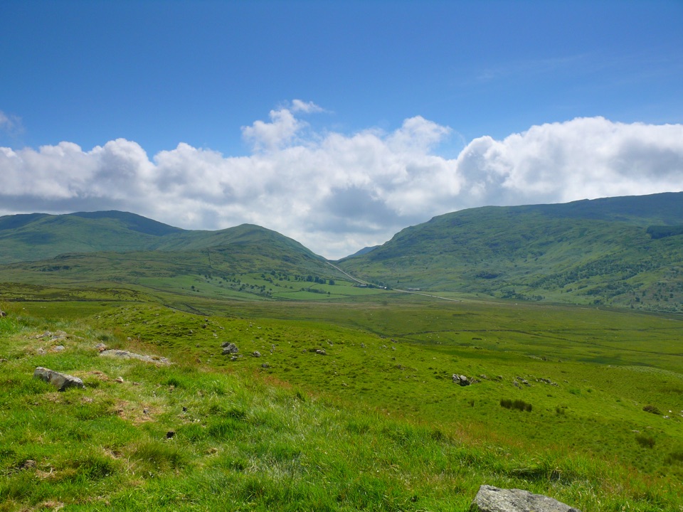 ModerateFoel Caerynwch3.7 km · 1.5 hr · 5.2 km awayA short steep climb to panoramic Meirionnydd hill views from Brithdir
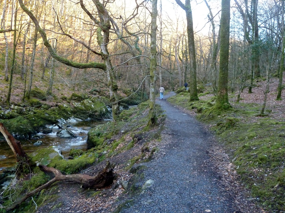 ModerateTorrent Walk4.2 km · 1.3 hr · 6.3 km awayCascades, mossy ravine woodland and mill ruins on a short circular walk
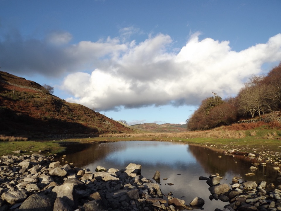 ModeratePrecipice Walk5.3 km · 2 hr · 6.7 km awayHigh-level circuit above the Mawddach with lake, oaks and mountain views
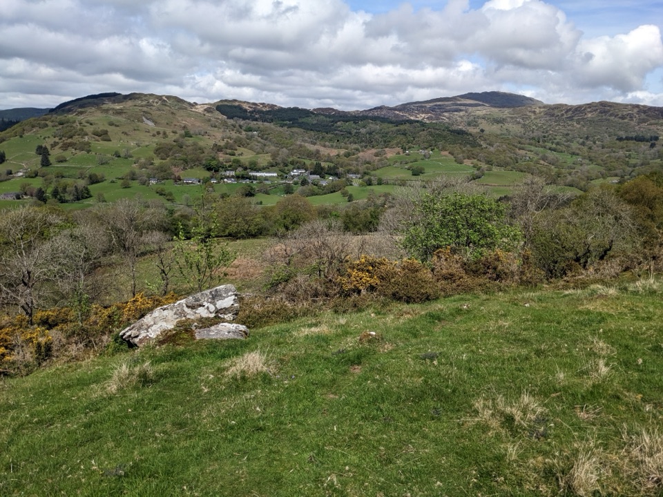 ModerateFoel Offrwm Circular4 km · 1 hr · 6.7 km awayA short woodland and estate loop with wide south Meirionnydd views
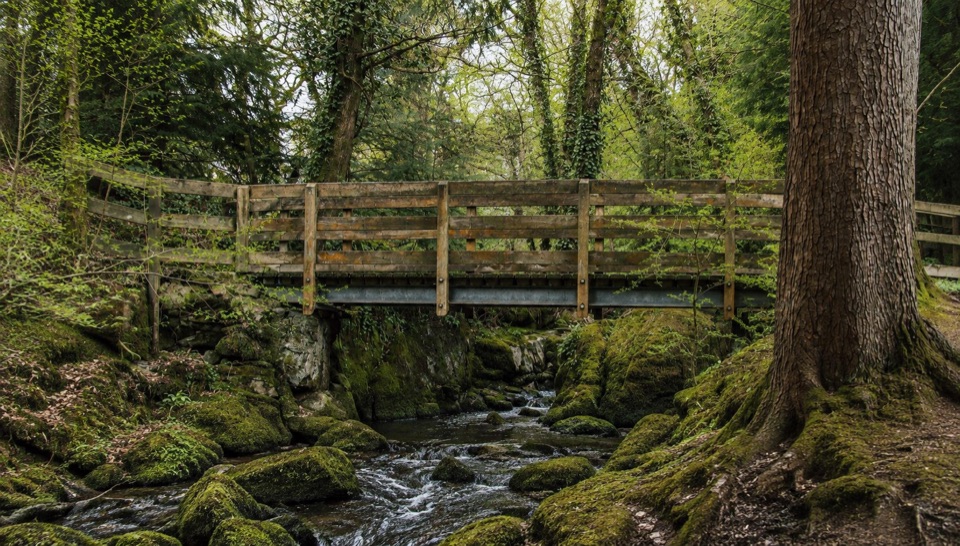 EasyForest Garden Discovery Trail0.6 km · 45 min · 6.9 km awaySteep little loop past world trees, a waterfall bridge and folklore posts
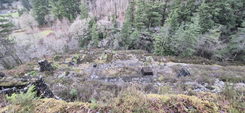 ModerateGlasdir Copper Trail2.1 km · 45 min · 7.6 km awayStepped loop through old copper workings above the Afon Babi gorge
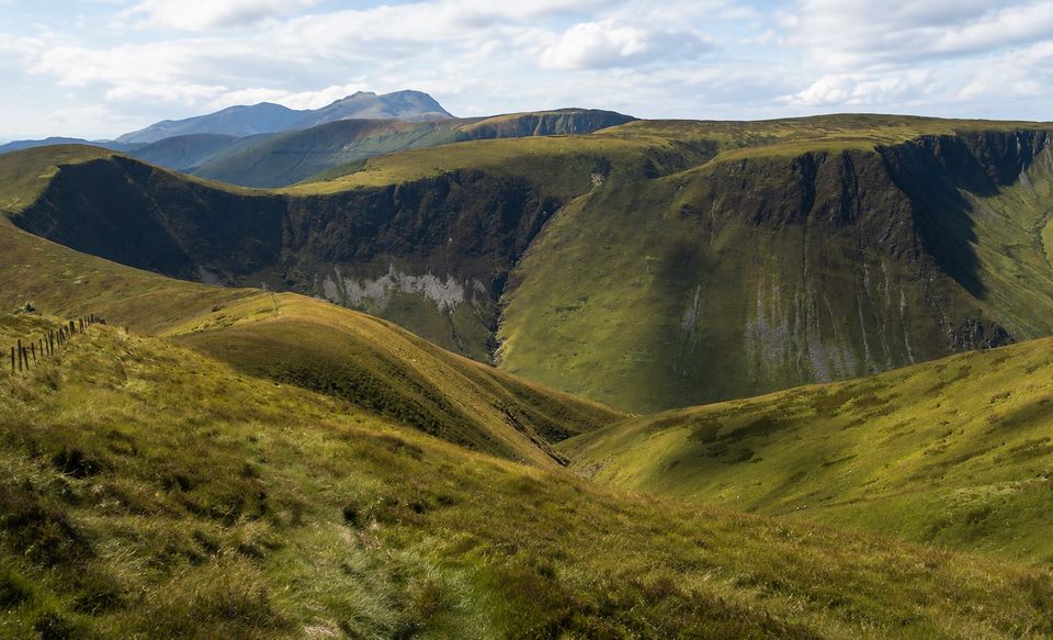 ChallengingWaen-oer Ridge13.8 km · 6 hr · 8.3 km awaySteep zigzags, four big summits and a long ridge above Dyfi Forest
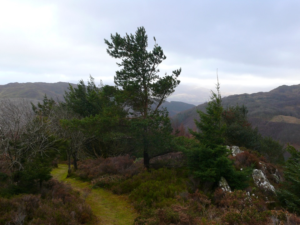 ChallengingPenrhos Mountain Trail5.1 km · 2 hr · 8.4 km awayRooty riverside climb to a heather summit bench and mountain views
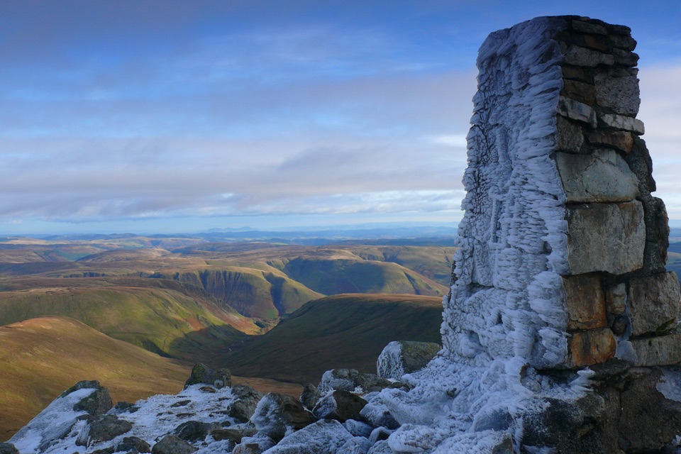 Sight · 5 km awayAran FawddwyA rugged 905-metre summit with broad views across mid-Wales
 Sight · 9.3 km awayDolgellauGrey dolerite townscape and tangled lanes beneath Cader Idris
 Sight · 9.4 km awayTŷ SiamasA Welsh folk-music centre in a handsome former market hall
 Sight · 9.4 km awayCymer AbbeyThree medieval arches frame the Mawddach valley
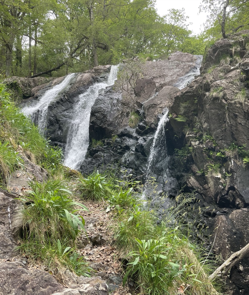 Sight · 9.4 km awayRhaeadr Ddu (Black Falls)Two mossy cascades drop about 60 feet through ancient oak woodland
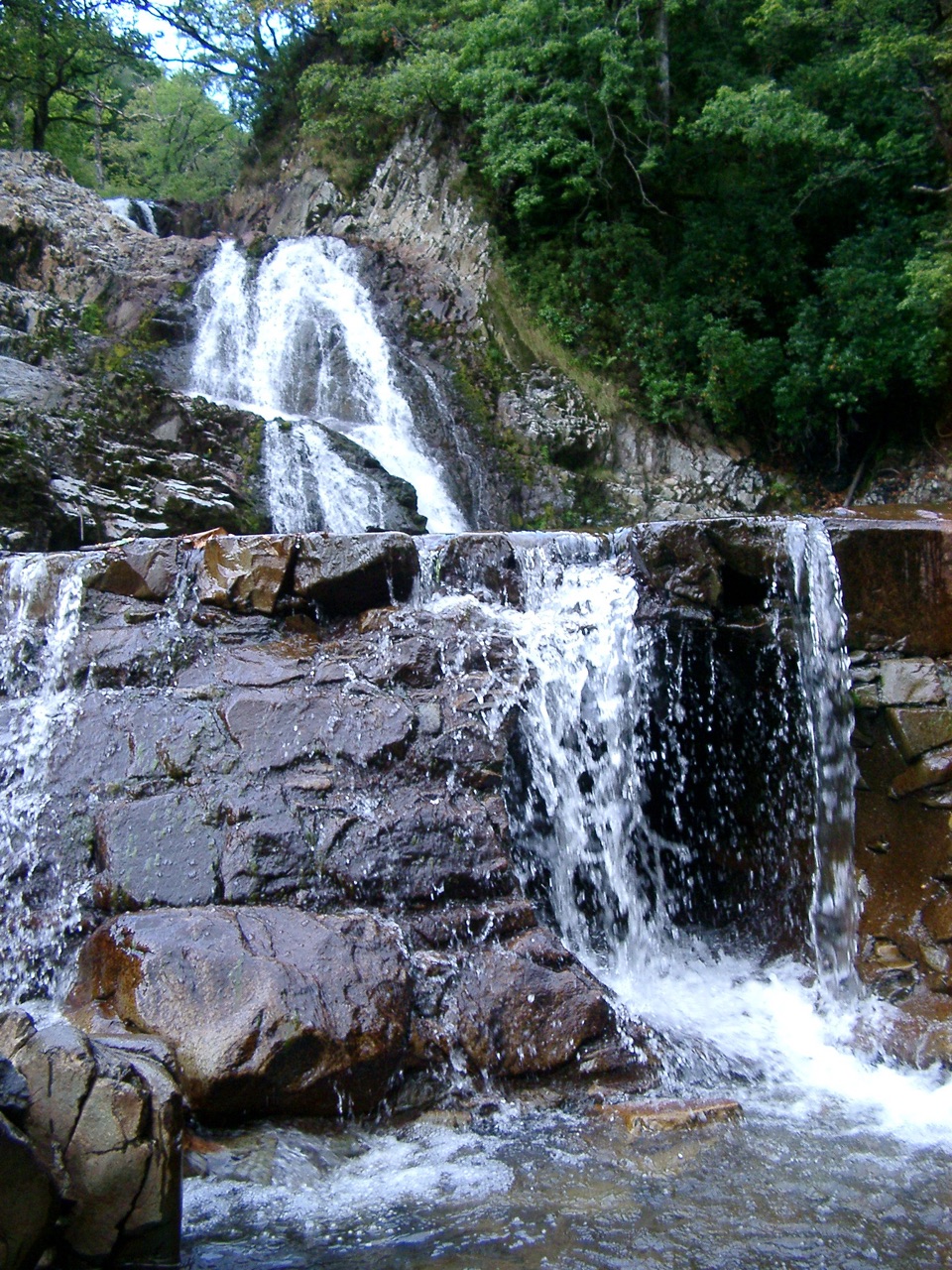 Sight · 9.6 km awayRhaeadr MawddachA rain-fed cascade beside old gold workings in deep woodland
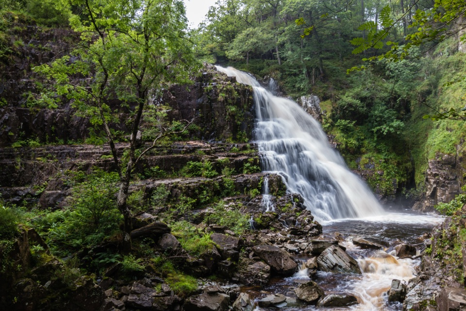 Sight · 9.7 km awayPistyll CainA thunderous forest waterfall reached by an easy-moderate river walk
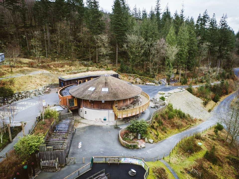 Visitor center · 10.3 km awayCoed y Brenin Visitor CentreBritain’s first purpose-built mountain-bike centre, now a quiet trailhead
Parkwolf’s Eryri ranking

The audio tour guide for the drive, plus offline maps, trails, and wildlife heatmaps for when the signal drops.




