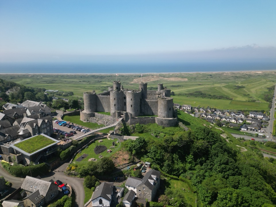
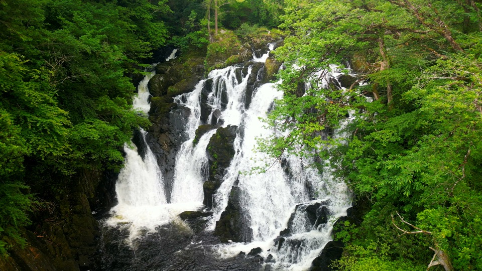
Cader Idris in Eryri National Park

#3 of 73 sights in Eryri

Sight · Eryri National Park

Cader Idris

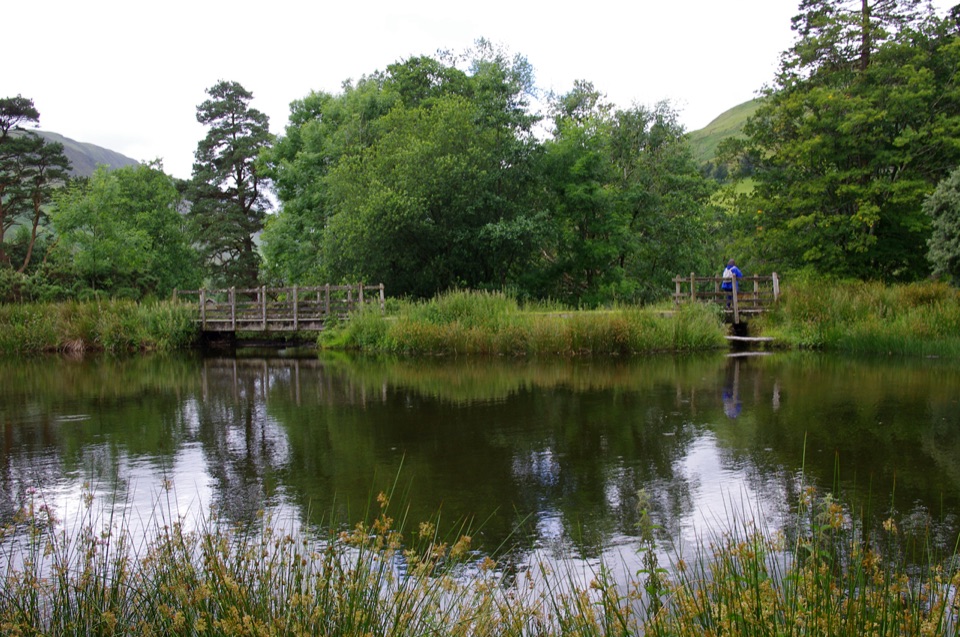
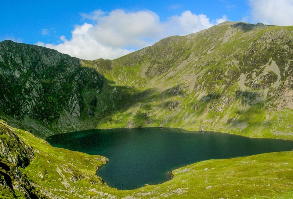
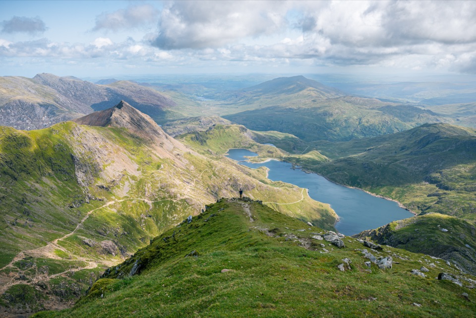
A high rocky summit above the dark bowl of Llyn Cau

Photo: Wikimedia Commons
Type
Sight
Nearest trail
2.5 km
Audio stories
4 nearby

Hear the audio tour

Dôl Idris and Cader Idris

Overview

About Cader Idris

Why stop

  • Glacial bowl of Llyn Cau makes the climb feel distinctive
  • Big views across southern Eryri and toward the coast in clear weather

Heads up

  • Strenuous ascent on rough, exposed ground
  • Cloud can erase the views and make navigation harder

Map

Where it is

Loading the Eryri map
Full map
SightCader Idris52.69960, -3.90880
Keep this map with you offline in the Parkwolf app

Plan your stop

Before you go

Best time to go

A clear, calm weekday morning gives you the best chance of open views and a quieter summit; early or late light brings more texture to Llyn Cau and the surrounding ridges. Cloudy weather can still make the landscape atmospheric, but it may remove the views and make route-finding harder. Check the mountain forecast before leaving.

Bring sturdy boots with ankle support, waterproofs, warm layers, food, plenty of water, a map and compass, a torch, and a charged phone. Use the toilets at Dôl Idris before setting out; the car park also serves short, accessible low-level trails, which are separate from the summit hike.


A park ranger sits on a dash-mounted phone, talking, as Parkwolf’s Tour Guide plays “Army Cutworm Moths: A Grizzly Bear Buffet” on Grand Loop Road below Dunraven Pass in Yellowstone
Parkwolf Tour GuideThe highest, rockiest slopes around here are a summer buffet for grizzly bears.

Eryri Tour Guide

Your drive to Cader Idris, narrated.

Parkwolf is a GPS audio tour guide for Eryri National Park. As you drive, it chimes in with what’s ahead: hidden gems, upcoming stops, history, geology, and wildlife, right through your car’s speakers.

Recorded for this place

Dôl Idris and Cader Idris
0:00 / 0:38
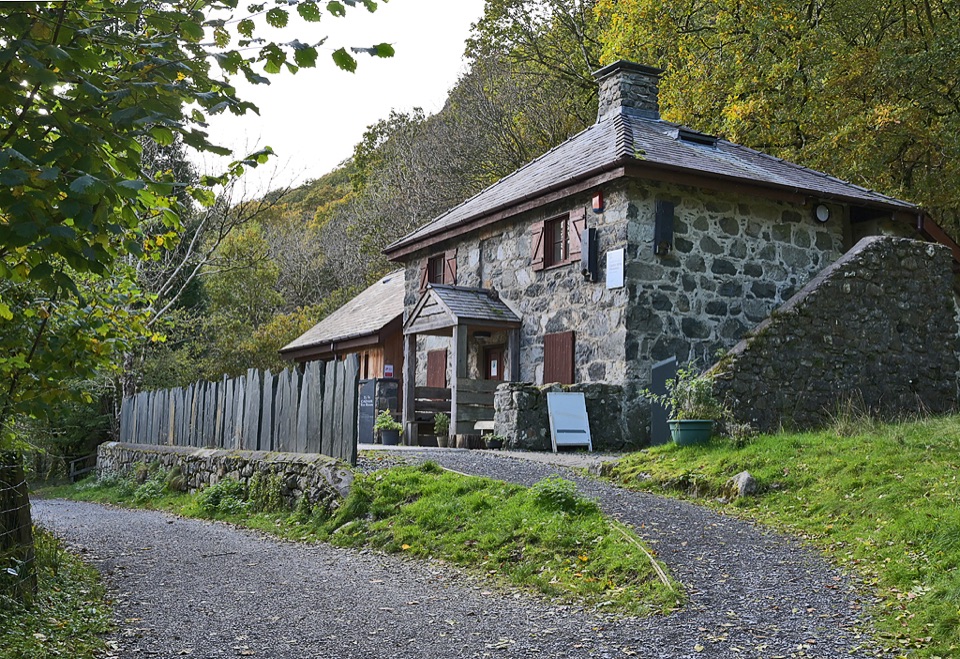
“You're coming up on Dôl Idris, the starting point for Cader Idris's steep Minffordd Path and a much gentler lakeside walk.”

Plays as you drive up to Cader Idris in the Parkwolf Eryri Tour Guide.

More stories near here in the app

  • Pony Path from Tŷ Nant
  • The Bird With a White Flash
  • The Ginger Beer Ruin
  • The Cliff Wilson Made Taller
  • 298 audio storiesacross Eryri’s roads, triggered by GPS as you drive
  • Wildlife heatmapsfor Grey Heron, Tawny Owl, Common Raven, and 9 more
  • Works offlinemaps, 120 trails, 82 places, and audio download before you lose signal
  • CarPlay readysimple controls built for the drive
★★★★★
“Fantastic app with many points of information… It’s great to just turn on while you’re driving and it gives you an audio tour of the national Park. We love it!!!!”
JMJamesApp Store review
Download Parkwolf on the App StoreGet Parkwolf on Google Play

4.7 from 8,600+ ratings

Guide

More about Cader Idris

Why climbCader Idris rises to 893 metres at Penygadair, the highest point of the mountain.

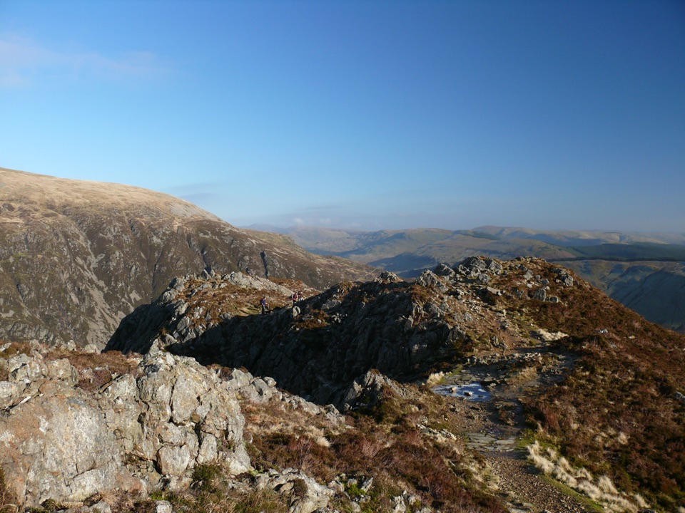
Cader Idris rises to 893 metres at Penygadair, the highest point of the mountain. Its signature scene is Cwm Cau, a near-circular glacial corrie holding Llyn Cau. The cliffs, rough summit rocks and lake make this feel different from a simple rounded hilltop. On a clear day, the high ground opens views across Tal-y-llyn, the southern Eryri ranges and toward the coast.

The mountain is also a good place to notice geology rather than just scenery. Ice shaped the corrie during the last glaciations, while the mountain's Ordovician sedimentary and igneous rocks show through on the climb. The Welsh name means Idris's Chair, tied to old giant and prince legends.

Choose your routeCader Idris is a full mountain outing, not a drive-up viewpoint.

Cader Idris is a full mountain outing, not a drive-up viewpoint. The most useful starting point for visitors is Dôl Idris car park, on the B4405 off the A487 south of Dolgellau.

These times are planning estimates, not promises. The paths are rough and steep in places, and high-level navigation matters, especially in cloud.

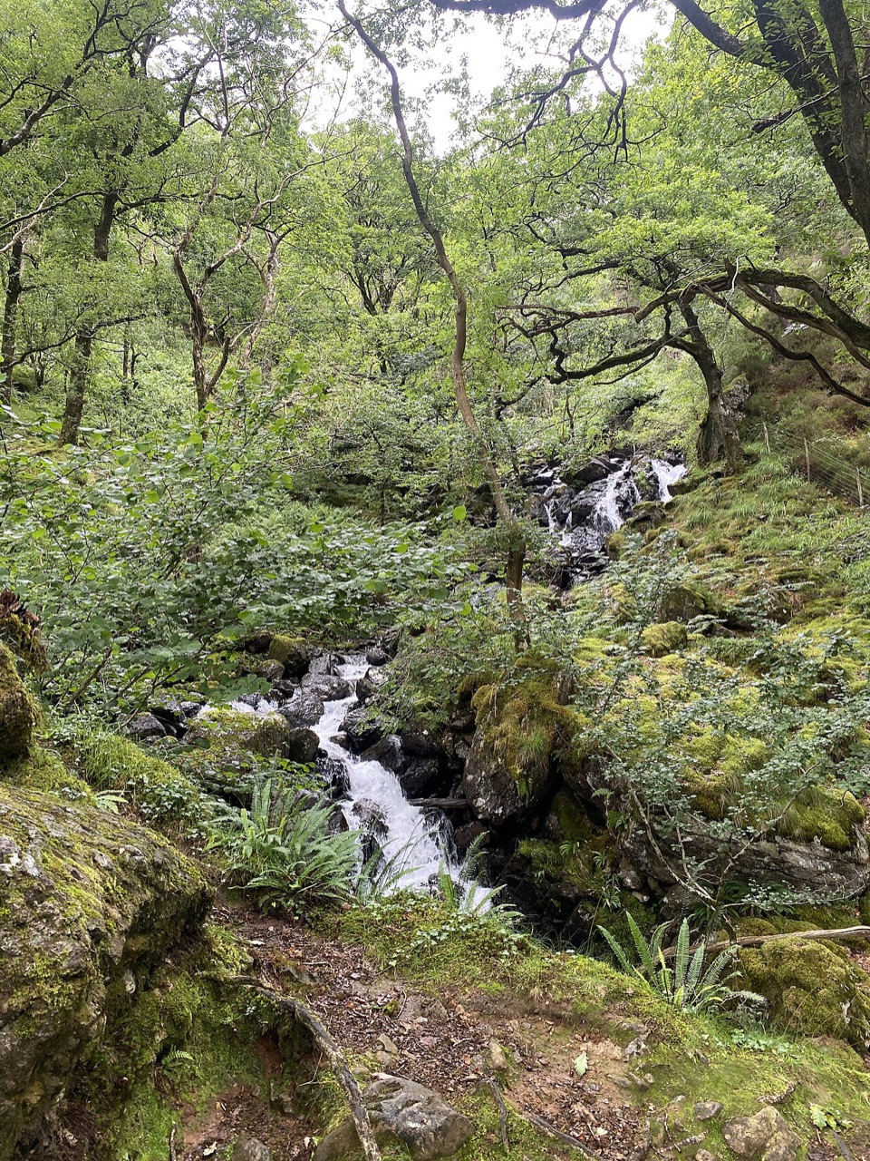
  • Minffordd Path: 9 km there and back, about 788 metres of ascent, and roughly 5 to 6 hours. It is hard/strenuous and passes through the gorge and the dramatic Cwm Cau/Llyn Cau bowl.
  • Pony Path from Tŷ Nant: about 10 km there and back and roughly 5 hours. It climbs the northern side and is often the most popular approach.
  • Llanfihangel y Pennant: about 16 km there and back and around 7 hours. It is longer and quieter, with a more gradual feel overall.
What to expectExpect exposed, uneven ground and no services at the summit.

Expect exposed, uneven ground and no services at the summit. A small stone shelter sits close to Penygadair and can give brief relief from wind or rain, but it is not a substitute for warm layers or a reliable weather plan. The temperature at the top can be several degrees lower than at Dôl Idris, and low cloud can arrive quickly.

The reserve supports peregrine falcons above high crags and ring ouzels in rocky ravines. In summer, look for arctic-alpine plants on the cliffs and listen for mountain and woodland birds lower down. Keep to durable paths, avoid disturbing wildlife and take all litter back down.

Wildlife

Wildlife in Eryri

All Eryri wildlife maps

Sighting maps show where each species has been reported across Eryri. Wildlife moves, so no sighting is guaranteed.

Keep exploring

Near Cader Idris

See it all on the map

Trails nearby

More stops nearby

Parkwolf’s Eryri ranking

Top sights in Eryri

All 82 places
  1. 1Yr Wyddfa (Snowdon)Sight
  2. 2Snowdon Mountain RailwaySight
  3. 4Harlech CastleSight
  4. 5Betws-y-CoedSight
  5. 6LlanberisSight
  6. 7Swallow Falls (Rhaeadr Ewynnol)Sight

Take Parkwolf to Eryri.

The audio tour guide for the drive, plus offline maps, trails, and wildlife heatmaps for when the signal drops.

4.7 from 8,600+ ratings

Download Parkwolf on the App StoreGet Parkwolf on Google Play