Waen-oer Ridge in Eryri National Park

Eryri National Park, WA

Waen-oer Ridge

Steep zigzags, four big summits and a long ridge above Dyfi Forest

Length
13.8km
Time
6hr
Elev. change
567m
Difficulty
Challenging
  • High point 661 m
  • #56 of 120 in Eryri

Hear the audio tour

Waen-oer Ridge from Dinas Mawddwy

Overview

About Waen-oer Ridge

A point-to-point mountain walk across the ridges near Eryri's southern border, on the outskirts of Dyfi Forest. It runs from Dinas Mawddwy Car Park (SH 859 149) to Bwlch Llyn Bach Car Park on the A487 (SH 753 135), covering 14 km / 8.6 miles in roughly 6 hours one way. Graded Hard/Strenuous.

Why go

  • Wide summit and ridge views
  • Quiet high-level route

Heads up

  • Point-to-point transport logistics
  • Rough terrain and demanding navigation

Map & elevation

The route

Loading the Eryri map
Full map
Elevation94–661 m
TrailheadDinas Mawddwy Car Park52.71967, -3.69072
Keep this map with you offline in the Parkwolf app

Plan your hike

Before you go

Parking

Start at the main Dinas Mawddwy car park from the A470 at the top end of the village. The official finish is Bwlch Llyn Bach car park on the A487, so arrange a second vehicle or a pre-arranged pick-up. Park only in designated places and do not block field or residential entrances.

Safety

Hard mountain terrain with steep climbs, rough ground, stiles, fence-line navigation, possible scrambling, careful A470 and A487 road crossings, and specialist winter equipment potentially required in winter.

A park ranger sits on a dash-mounted phone, talking, as Parkwolf’s Tour Guide plays “Army Cutworm Moths: A Grizzly Bear Buffet” on Grand Loop Road below Dunraven Pass in Yellowstone
Parkwolf Tour GuideThe highest, rockiest slopes around here are a summer buffet for grizzly bears.

Eryri Tour Guide

Your drive to Waen-oer Ridge, narrated.

Parkwolf is a GPS audio tour guide for Eryri National Park. As you drive, it chimes in with what’s ahead: hidden gems, upcoming stops, history, geology, and wildlife, right through your car’s speakers.

Recorded for this trailhead

Waen-oer Ridge from Dinas Mawddwy
0:00 / 0:26
“You're approaching the Dinas Mawddwy start for Waen-oer Ridge, a quiet, strenuous mountain crossing above Dyfi Forest. Steep zigzags lead toward a long ridge with layered views across the valleys and surrounding peaks.”

Plays as you drive up to this trailhead in the Parkwolf Eryri Tour Guide.

More stories near here in the app

  • The Landslide Holding Tal-y-llyn
  • The Packhorse Bridge Beside the A470
  • The Yews at Mallwyd
  • The Scholar at Mallwyd
  • 298 audio storiesacross Eryri’s roads, triggered by GPS as you drive
  • Wildlife heatmapsfor Grey Heron, Tawny Owl, Common Raven, and 9 more
  • Works offlinemaps, 120 trails, 82 places, and audio download before you lose signal
  • CarPlay readysimple controls built for the drive
★★★★★
“Fantastic app with many points of information… It’s great to just turn on while you’re driving and it gives you an audio tour of the national Park. We love it!!!!”
JMJamesApp Store review
Download Parkwolf on the App StoreGet Parkwolf on Google Play

4.7 from 8,600+ ratings

Trail guide

Hiking Waen-oer Ridge

How the walk unfoldsLeave the Dinas Mawddwy car park and climb the road, then cross the A470 and follow the verge…
  • Leave the Dinas Mawddwy car park and climb the road, then cross the A470 and follow the verge for a short stretch to a lay-by.
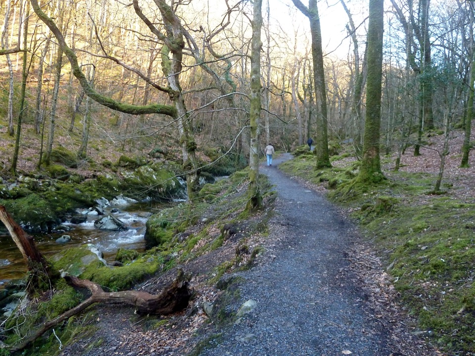
  • Take the signposted footpath into Coed Foeldinas, climbing steep zigzags and a boardwalk.
  • Follow fence lines around Foel Dinas and on toward Cae Afon, then climb to Craig Portas.
  • Descend to the pass, climb Cribin Fawr, and continue to Waun-oer.
  • Follow the long ridge toward Mynydd Ceiswyn, then drop by public and permissive footpaths and a road-side path to Bwlch Llyn Bach.
Terrain and difficultyThis is a serious hill day rather than a technical climb, but it asks for real fitness and…

This is a serious hill day rather than a technical climb, but it asks for real fitness and hillcraft. The Park Authority states it suits experienced country walkers with good fitness, that navigation skills are essential, and that the ground is steep and rough upland terrain that may include scrambling. Expect stiles, a boardwalk, sustained zigzag climbing, long stretches of fence-line navigation on open ground, and careful road crossings both early on and again near the finish. Full hill-walking gear is needed, including map and compass skills you can rely on in poor visibility.

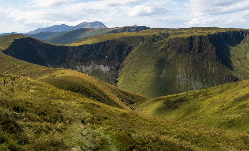
Views, scenery and photographyThe reward is a sequence of high viewpoints over valleys, peaks and surrounding ridges, with…

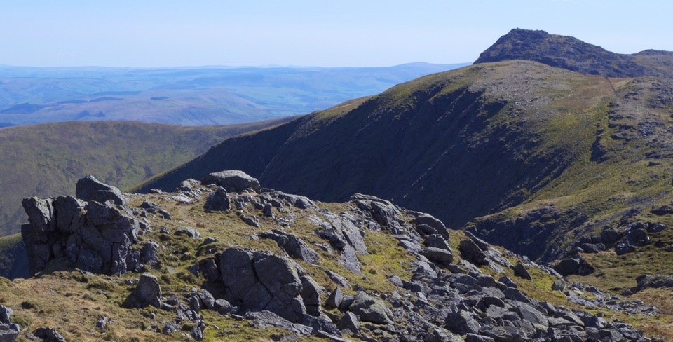
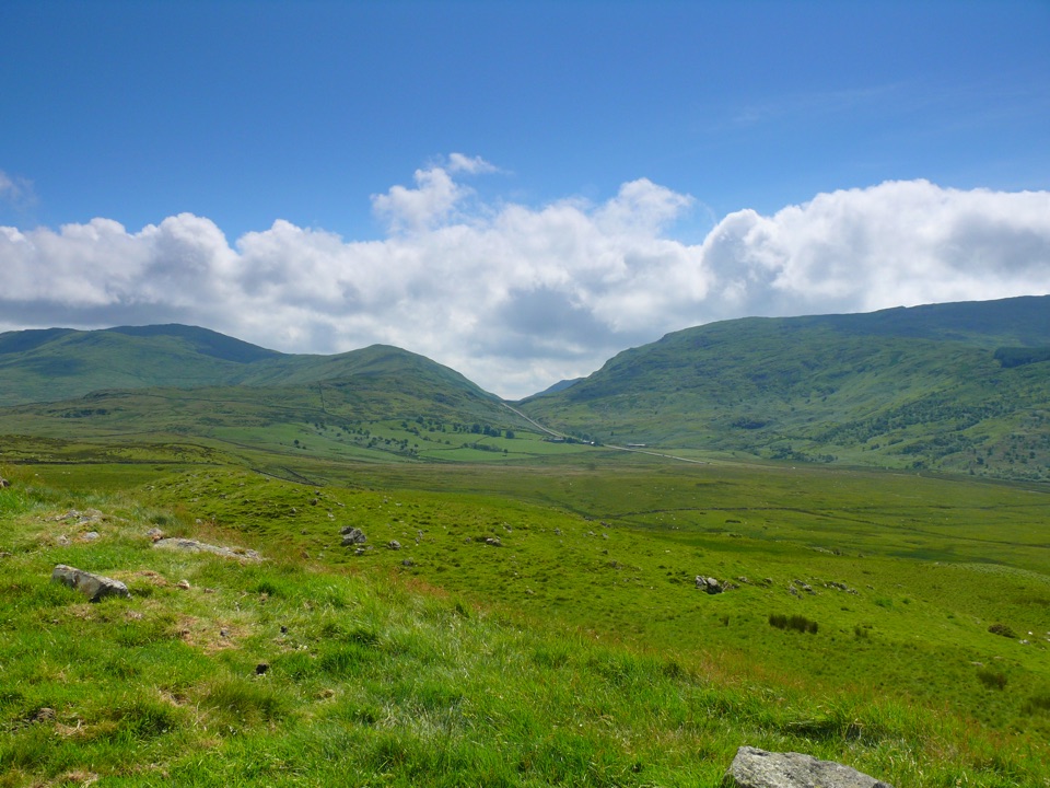
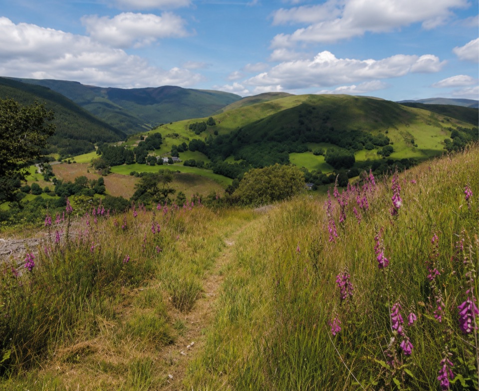
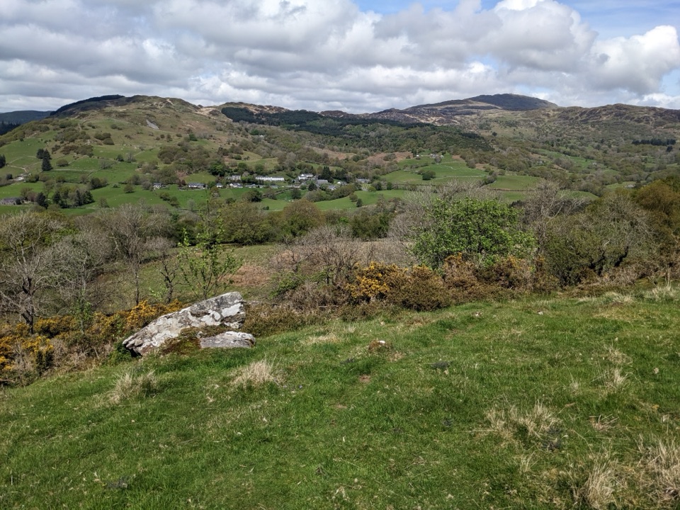
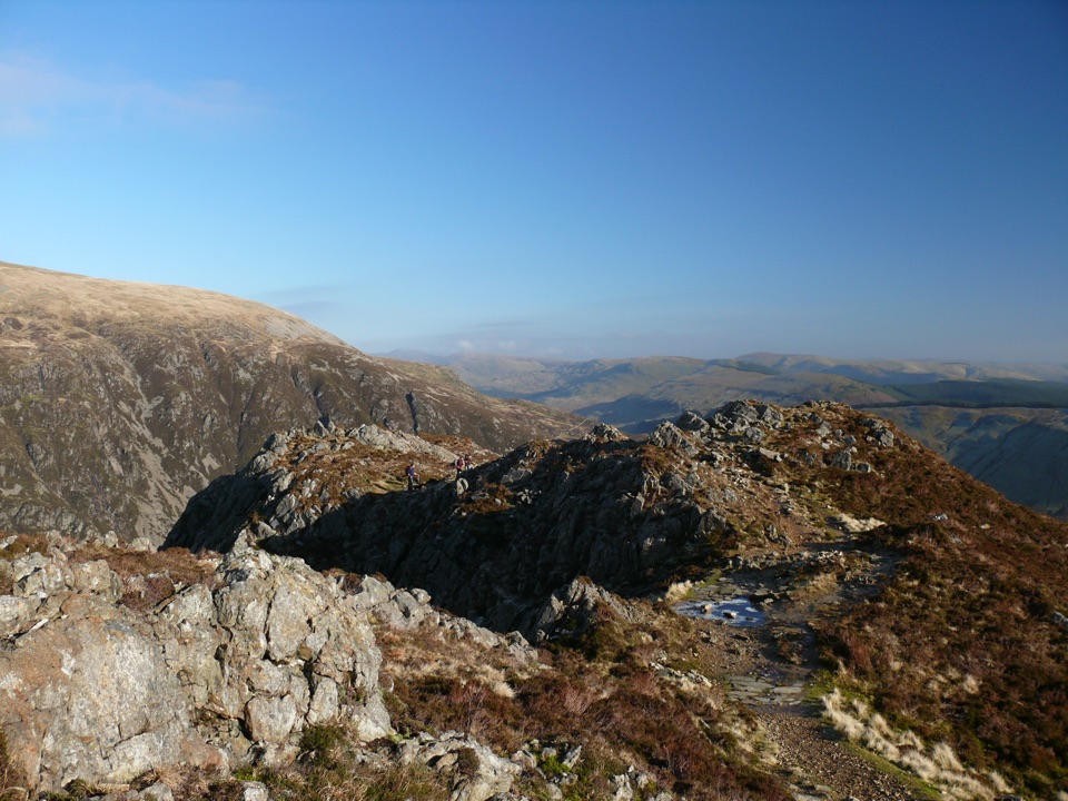
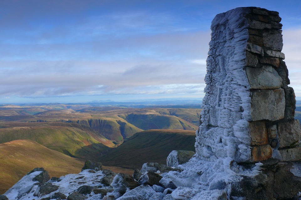
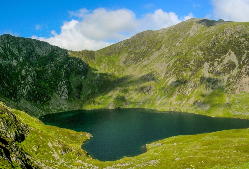
The reward is a sequence of high viewpoints over valleys, peaks and surrounding ridges, with Maesglase, Craig Portas, Cribin Fawr, Waun-oer and Mynydd Ceiswyn shaping the day. Maesglase stands higher than Waun-oer, so the walk strings together several summits rather than building to one obvious top. Photographers get layered ridge lines, steep valley heads and long views across forest edges, best worked in low side light early or late. It is a quiet corner of the park compared with the busier northern mountains.

Access, parking and logisticsStart at the main Dinas Mawddwy car park, reached from the A470 at the top end of Dinas Mawddwy.
  • Start at the main Dinas Mawddwy car park, reached from the A470 at the top end of Dinas Mawddwy.
  • The finish is the Bwlch Llyn Bach car park on the A487, some distance away by road.
  • Because this is point-to-point, plan your return before you set off: two vehicles or an arranged pick-up is the practical approach, and retracing the ridge on foot roughly doubles the day.
  • Park only in designated places and do not block field or residential entrances.
Winter caveatIn winter conditions, specialist winter equipment may be required on this route.

In winter conditions, specialist winter equipment may be required on this route. Judge the day honestly against the forecast, the short daylight and your own experience on steep upland ground.

Wildlife

Wildlife in Eryri

All Eryri wildlife maps

Sighting maps show where each species has been reported across Eryri. Wildlife moves, so no sighting is guaranteed.

Keep exploring

Near Waen-oer Ridge

See it all on the map

Trails that start nearby

Places near the trailhead

Parkwolf’s Eryri ranking

Top-rated trails in Eryri

All 120 trails
  1. 1Yr Wyddfa Pyg Track and Miners’ Track LoopChallenging · 12.1 km
  2. 2Llanberis PathChallenging · 14.5 km
  3. 3Pyg TrackChallenging · 11 km
  4. 4Miners’ TrackChallenging · 12.9 km
  5. 5Cwm Idwal WalkModerate · 4.8 km
  6. 6Watkin PathChallenging · 12.9 km

Take Parkwolf to Eryri.

The audio tour guide for the drive, plus offline maps, trails, and wildlife heatmaps for when the signal drops.

4.7 from 8,600+ ratings

Download Parkwolf on the App StoreGet Parkwolf on Google Play