Yr Wyddfa (Snowdon) in Eryri National Park

#1 of 73 sights in Eryri

Sight · Eryri National Park

Yr Wyddfa (Snowdon)

Wales’ highest summit, with huge views when the clouds cooperate

Photo: Wikimedia Commons
Type
Sight
Nearest trail
3.9 km
Audio stories
1 nearby
  • Scenic viewpoint

Hear the audio tour

Pen y Pass and Yr Wyddfa

Overview

About Yr Wyddfa (Snowdon)

Why stop

  • Panoramic mountain views that can stretch to Ireland

Heads up

  • Busy summit and exposed weather make the day harder than the map
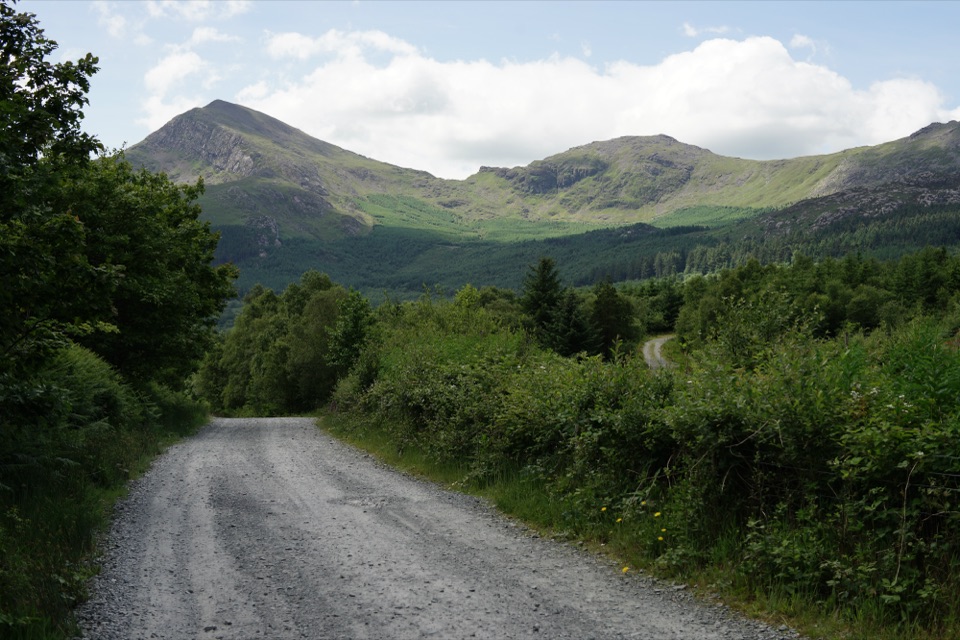
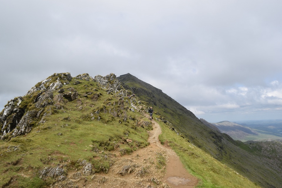
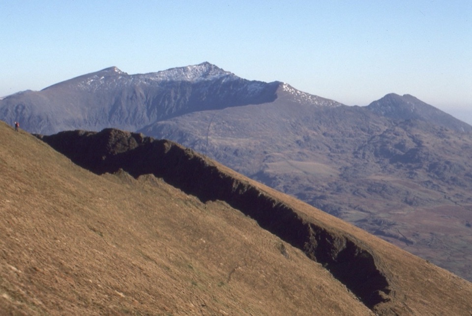
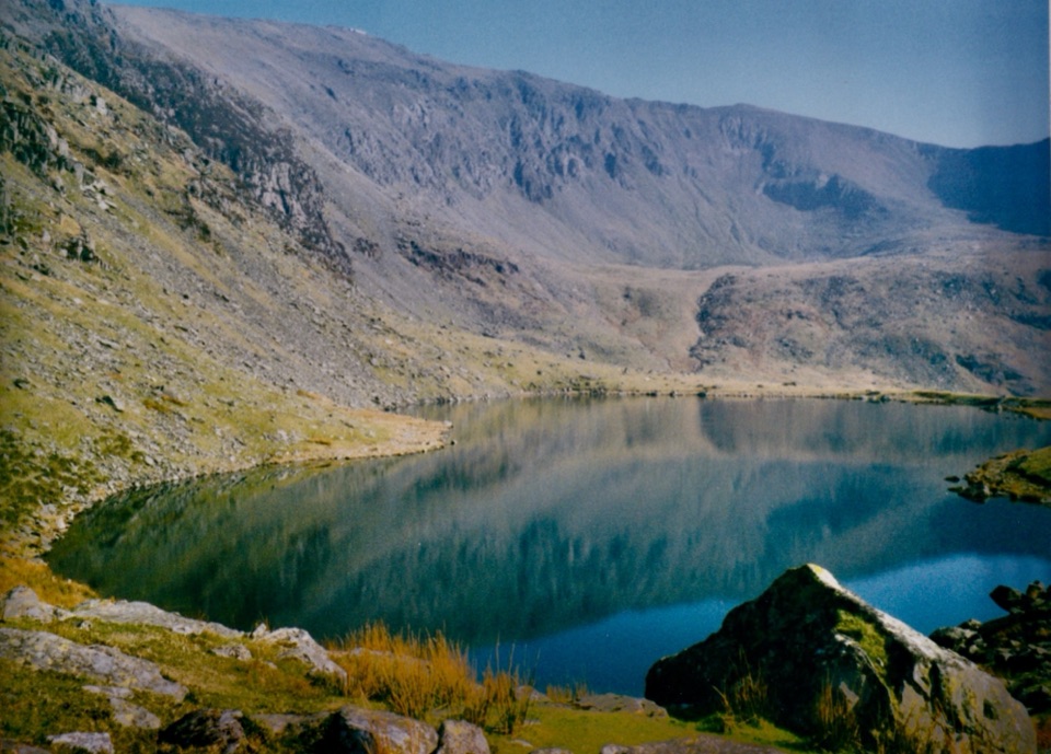
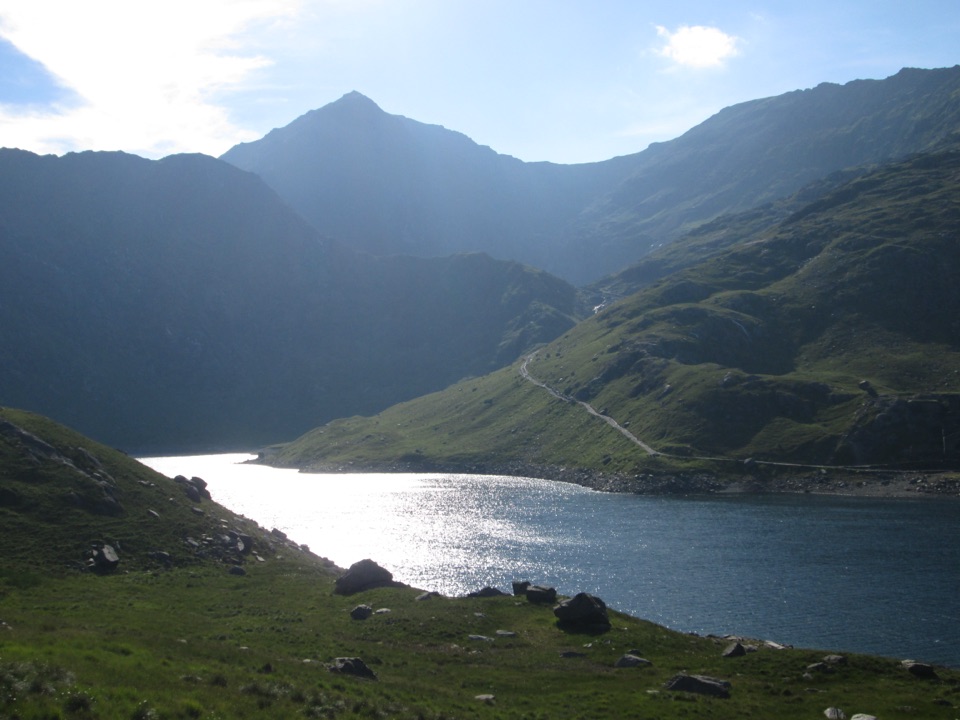
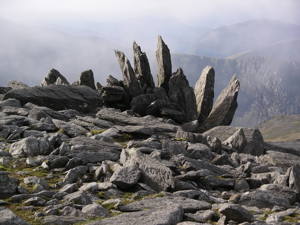
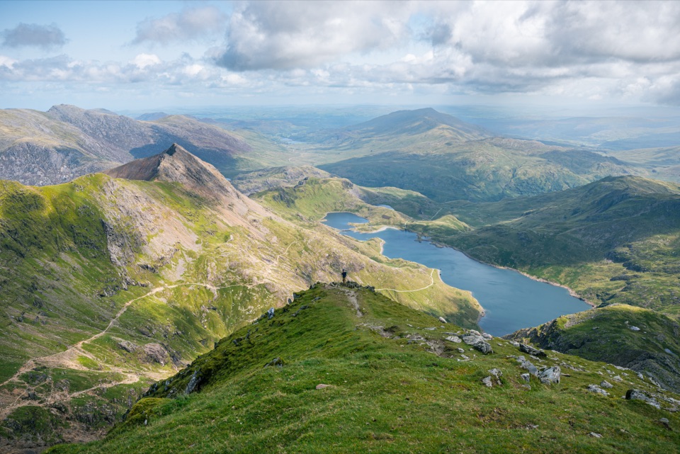
Yr Wyddfa is Wales’ highest summit at 1,085 metres and Eryri’s defining mountain. The reward is not just the cairn at the top. On a clear day, the summit opens onto most of Eryri’s major peaks, deep valleys and lakes, with views that can reach Ireland.
Parkwolf’s verdictWhy go

Map

Where it is

Loading the Eryri map
Full map
SightYr Wyddfa (Snowdon)53.06849, -4.07623
Keep this map with you offline in the Parkwolf app

Plan your stop

Before you go

Best time to go

Yr Wyddfa is Britain’s busiest mountain, with more than 600,000 people reaching the summit each year. Summer and the middle of the day are the most crowded, especially where walkers meet railway passengers. An early start on a clear, settled day gives you the best chance of quieter paths, cooler temperatures and a clean horizon for photography.

The mountain is also a National Nature Reserve. Its conservation interest includes the rare Snowdon lily and Snowdon beetle, along with hardy alpine plants in rocky crevices. Keep to the paths and do not pick flowers or disturb fragile vegetation.


A park ranger sits on a dash-mounted phone, talking, as Parkwolf’s Tour Guide plays “Army Cutworm Moths: A Grizzly Bear Buffet” on Grand Loop Road below Dunraven Pass in Yellowstone
Parkwolf Tour GuideThe highest, rockiest slopes around here are a summer buffet for grizzly bears.

Eryri Tour Guide

Your drive to Yr Wyddfa (Snowdon), narrated.

Parkwolf is a GPS audio tour guide for Eryri National Park. As you drive, it chimes in with what’s ahead: hidden gems, upcoming stops, history, geology, and wildlife, right through your car’s speakers.

Recorded for this place

Pen y Pass and Yr Wyddfa
0:00 / 0:35
“You're approaching Pen y Pass, the starting point for the Pyg and Miners' tracks up Yr Wyddfa. Both are serious, roughly six-hour mountain walks, despite the Miners' Track's gentle opening beside the lakes.”

Plays as you drive up to Yr Wyddfa (Snowdon) in the Parkwolf Eryri Tour Guide.

More stories near here in the app

  • The Corner Above the Pass
  • The Crowd at Gladstone Rock
  • Watkin Path from Pont Bethania
  • Rhyd Ddu Path to Yr Wyddfa
  • 298 audio storiesacross Eryri’s roads, triggered by GPS as you drive
  • Wildlife heatmapsfor Grey Heron, Tawny Owl, Common Raven, and 9 more
  • Works offlinemaps, 120 trails, 82 places, and audio download before you lose signal
  • CarPlay readysimple controls built for the drive
★★★★★
“Fantastic app with many points of information… It’s great to just turn on while you’re driving and it gives you an audio tour of the national Park. We love it!!!!”
JMJamesApp Store review
Download Parkwolf on the App StoreGet Parkwolf on Google Play

4.7 from 8,600+ ratings

Guide

More about Yr Wyddfa (Snowdon)

Choose your approachThere are six main paths to the summit, and every one is classed as hard or strenuous.

There are six main paths to the summit, and every one is classed as hard or strenuous. The Llanberis Path is the longest and most gradual, but it is still a serious hike. The Miners’ and Pyg Tracks start at Pen y Pass and become steep and rocky. The Rhyd Ddu and Snowdon Ranger paths are generally quieter, while the Watkin Path has the greatest ascent and is particularly demanding.

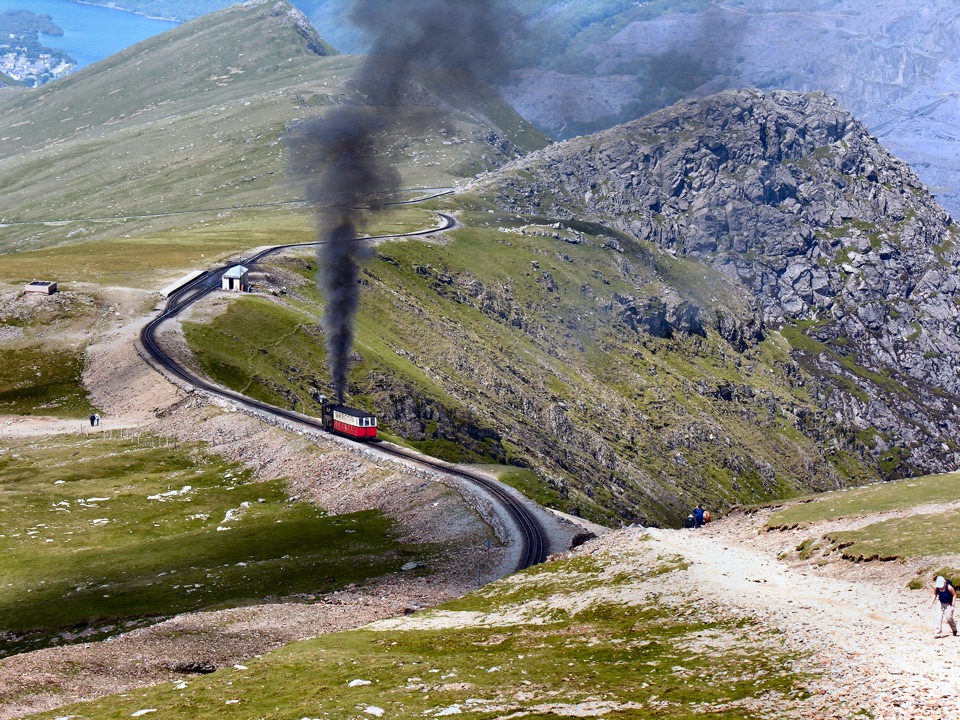
Plan a full day of roughly 6 to 8 hours for a walk there and back, allowing more time if the route is busy or the weather slows you down. The Snowdon Mountain Railway also reaches the summit when services are operating, giving non-hikers access to the same high-level views. It does not make the mountain a casual, low-effort destination: conditions and access can still change quickly at the top.

Prepare for the topThe summit is colder, wetter and windier than the valleys, and mist can arrive quickly.

The summit is colder, wetter and windier than the valleys, and mist can arrive quickly. Wear sturdy hiking boots, bring waterproof layers, food and enough water for the entire outing, and carry a map and compass as well as a charged phone. Winter snow and ice can turn the upper mountain into a mountaineering route requiring specialist skills and equipment.

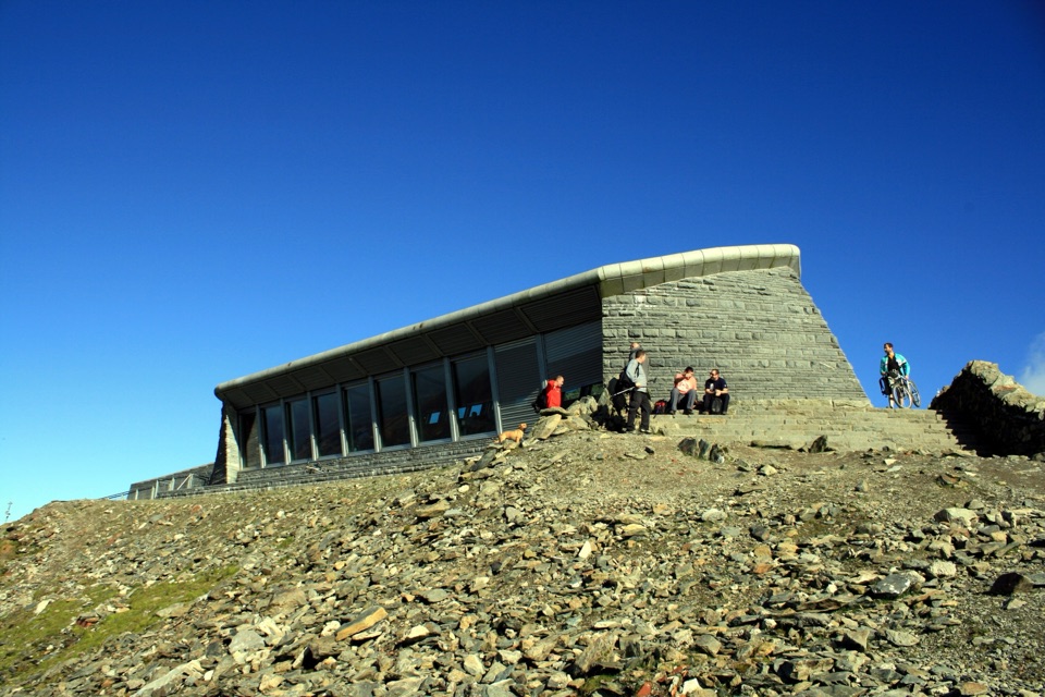
Hafod Eryri, the summit visitor centre, sits beside the peak and may provide a café, shop and toilets when it is operating. Treat those facilities as a bonus rather than your plan. Summit water is not safe to drink, and there are no bins on the mountain, so take all litter away with you.

Why goThis is a proper mountain day, not a quick scenic overlook.

This is a proper mountain day, not a quick scenic overlook. The exposed summit, rocky approaches and changing weather are part of the experience, and the mountain feels very different in mist than it does in sunshine.

Wildlife

Wildlife in Eryri

All Eryri wildlife maps

Sighting maps show where each species has been reported across Eryri. Wildlife moves, so no sighting is guaranteed.

Keep exploring

Near Yr Wyddfa (Snowdon)

See it all on the map

Trails nearby

More stops nearby

Parkwolf’s Eryri ranking

Top sights in Eryri

All 82 places
  1. 2Snowdon Mountain RailwaySight
  2. 3Cader IdrisSight
  3. 4Harlech CastleSight
  4. 5Betws-y-CoedSight
  5. 6LlanberisSight
  6. 7Swallow Falls (Rhaeadr Ewynnol)Sight

Take Parkwolf to Eryri.

The audio tour guide for the drive, plus offline maps, trails, and wildlife heatmaps for when the signal drops.

4.7 from 8,600+ ratings

Download Parkwolf on the App StoreGet Parkwolf on Google Play