Overview
About Iris Burn Waterfall
Why stop
- A waterfall and swimming hole make a worthwhile extra stop from the hut.
Heads up
- Sandflies can make a longer stop uncomfortable.
Map
Where it is

The highest, rockiest slopes around here are a summer buffet for grizzly bears.
Fiordland Tour Guide
Your drive to Iris Burn Waterfall, narrated.
Parkwolf is a GPS audio tour guide for Fiordland National Park. As you drive, it chimes in with what’s ahead: hidden gems, upcoming stops, history, geology, and wildlife, right through your car’s speakers.
See the Fiordland audio tour- 112 audio storiesacross Fiordland’s roads, triggered by GPS as you drive
- Wildlife heatmapsfor Kea, Fiordland Penguin, Blue Duck, and 13 more
- Works offlinemaps, 77 trails, 102 places, and audio download before you lose signal
- CarPlay readysimple controls built for the drive
“Fantastic app with many points of information… It’s great to just turn on while you’re driving and it gives you an audio tour of the national Park. We love it!!!!”


Guide
More about Iris Burn Waterfall
A side trip from the hutIris Burn Waterfall is a backcountry waterfall reached by a side track from Iris Burn Hut on…
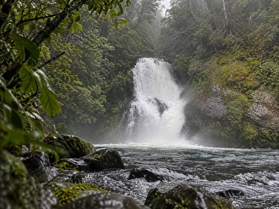
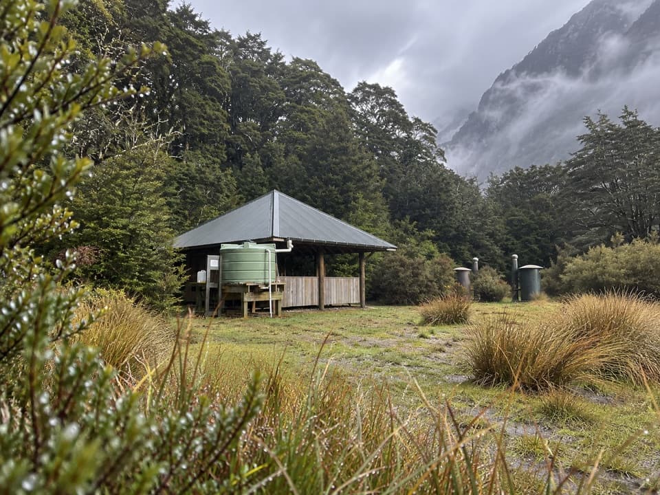
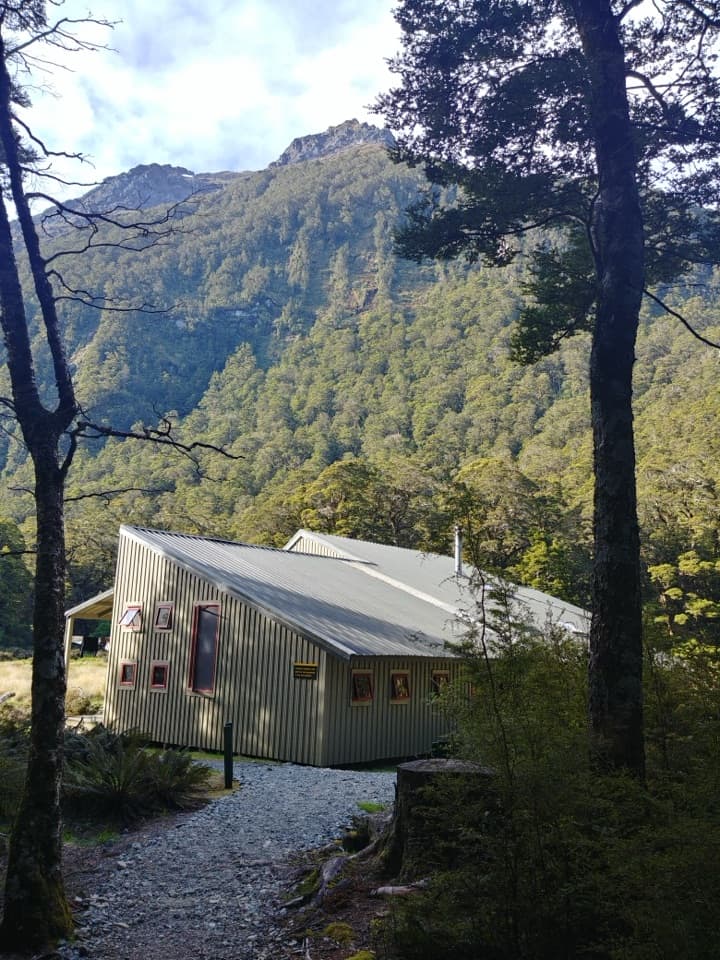
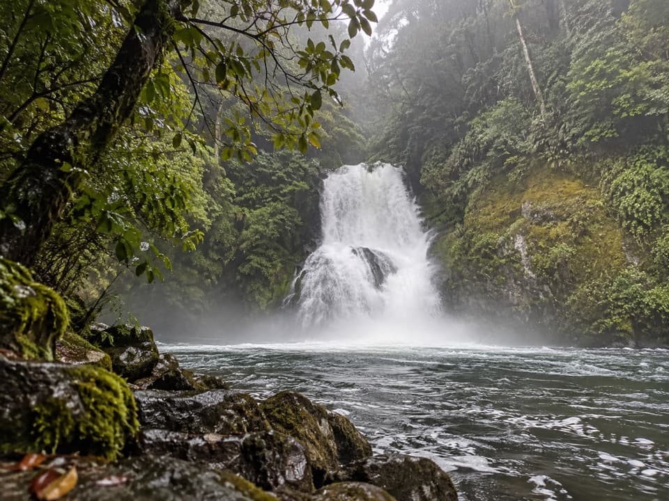
Iris Burn Waterfall is a backcountry waterfall reached by a side track from Iris Burn Hut on the Kepler Track. It makes a good extra stop if you're already at the hut: DOC describes a 20-minute walk from the hut, and the Great Walks brochure calls it 40 minutes return. The falls and their swimming hole are the payoff.
Bring repellent if you lingerDOC identifies a swimming hole at the falls, and visitors mention spending time on the rocks…
DOC identifies a swimming hole at the falls, and visitors mention spending time on the rocks nearby. Two visitors also report sandflies, so have repellent ready if you're planning to stay for a swim or a longer look. This is a trail-side stop, not a drive-up waterfall.
Keep the pool in frameFor a phone photo, include the pool below the cascade.
For a phone photo, include the pool below the cascade. It shows the swimming-hole setting as well as the waterfall, so the picture tells the story of the detour.
Wildlife
Wildlife in Fiordland
 1,233 sightingsKeaMost seen around 10 AMSighting map
 214 sightingsFiordland PenguinMost seen around 7 PMSighting map
 233 sightingsBlue DuckMost seen around 5 PMSighting map
 32 sightingsBottlenose DolphinMost seen around 5 PMSighting map
 252 sightingsNew Zealand Fur SealMost seen around 6 PMSighting map
 69 sightingsKākāMost seen around 6 PMSighting map
Sighting maps show where each species has been reported across Fiordland. Wildlife moves, so no sighting is guaranteed.