Overview
About Mackay Falls and Bell Rock
Why stop
- Bell Rock’s hollowed underside makes this waterfall stop unusual.
Heads up
- You can only reach it as part of the Milford Track.
Map
Where it is

The highest, rockiest slopes around here are a summer buffet for grizzly bears.
Fiordland Tour Guide
Your drive to Mackay Falls and Bell Rock, narrated.
Parkwolf is a GPS audio tour guide for Fiordland National Park. As you drive, it chimes in with what’s ahead: hidden gems, upcoming stops, history, geology, and wildlife, right through your car’s speakers.
See the Fiordland audio tour- 112 audio storiesacross Fiordland’s roads, triggered by GPS as you drive
- Wildlife heatmapsfor Kea, Fiordland Penguin, Blue Duck, and 13 more
- Works offlinemaps, 77 trails, 102 places, and audio download before you lose signal
- CarPlay readysimple controls built for the drive
“Fantastic app with many points of information… It’s great to just turn on while you’re driving and it gives you an audio tour of the national Park. We love it!!!!”


Guide
More about Mackay Falls and Bell Rock
A memorable stop in the Arthur ValleyMackay Falls and Bell Rock are a waterfall and water-worn boulder beside the Arthur River on…
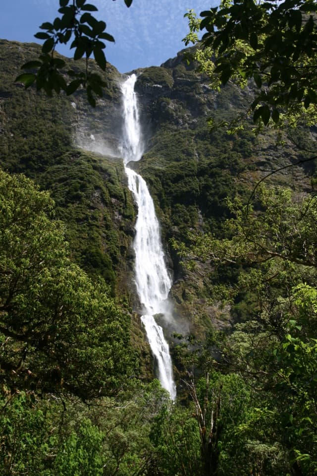
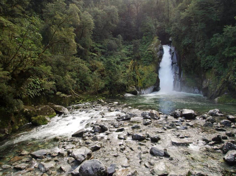
Mackay Falls and Bell Rock are a waterfall and water-worn boulder beside the Arthur River on the Milford Track. The boulder has a hollow underneath, shaped by the falls; together they make one of the track’s more distinctive close-up stops. They sit near the finish, so slow down for them on the last day’s walk rather than treating them as a separate roadside attraction.
Take in Bell Rock tooBell Rock’s overhanging underside is the surprising part: the rock has been hollowed from below…
Bell Rock’s overhanging underside is the surprising part: the rock has been hollowed from below by the falls, leaving a cavity to look into. It gives the stop a second thing to notice after the water; this is more than a waterfall photo break.
The walk shapes the visitThe Milford Track is a 53.5 km one-way walk over four days.
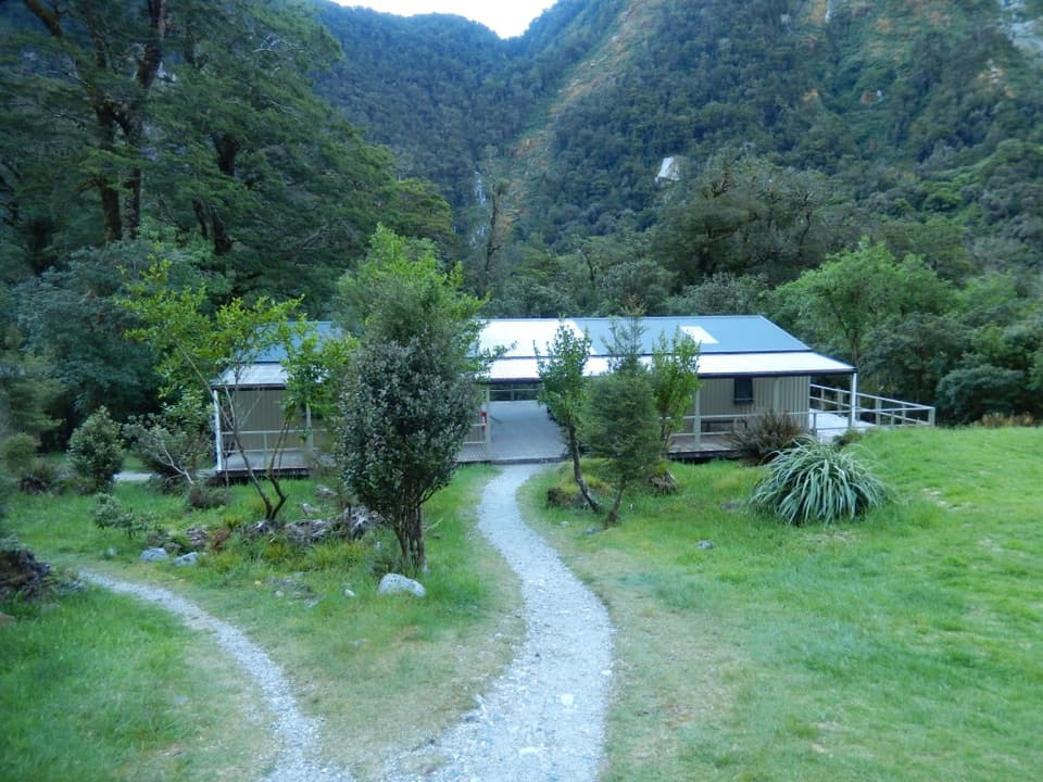
The Milford Track is a 53.5 km one-way walk over four days. Mackay Falls and Bell Rock lie on the final day’s 18 km stretch from Dumpling Hut to Sandfly Point, a long 5½–6-hour day. In the Great Walks season, huts and transport need to be booked, so this is part of a planned through-walk, not a casual drive detour. Outside that season, cold, wet conditions, snow, ice and short daylight make the route a serious trip for fit, experienced walkers with alpine, river-crossing and navigation skills.
Get the whole sceneFor a photo, include the water below the main drop and some of the mossy rocks; they show how…
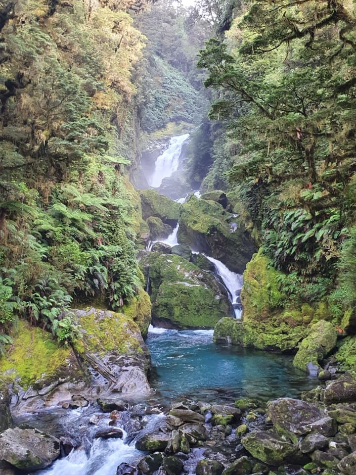
For a photo, include the water below the main drop and some of the mossy rocks; they show how the falls run through the gorge. There is no food or service stop at the falls themselves, so carry what you need for this part of the day.
Wildlife
Wildlife in Fiordland
 1,233 sightingsKeaMost seen around 10 AMSighting map
 214 sightingsFiordland PenguinMost seen around 7 PMSighting map
 233 sightingsBlue DuckMost seen around 5 PMSighting map
 32 sightingsBottlenose DolphinMost seen around 5 PMSighting map
 252 sightingsNew Zealand Fur SealMost seen around 6 PMSighting map
 69 sightingsKākāMost seen around 6 PMSighting map
Sighting maps show where each species has been reported across Fiordland. Wildlife moves, so no sighting is guaranteed.