#6 of 68 trails in Fiordland

Fiordland National Park, SL

Sutherland Falls Track

A short, steep side trip to New Zealand's tallest waterfall

Length
4.7km
Time
1.5hr
Elev. change
299m
Difficulty
Moderate
  • No dogs
  • High point 557 m
Parkwolf audio tour126 stories across Fiordland’s roads

Overview

About Sutherland Falls Track

Why go

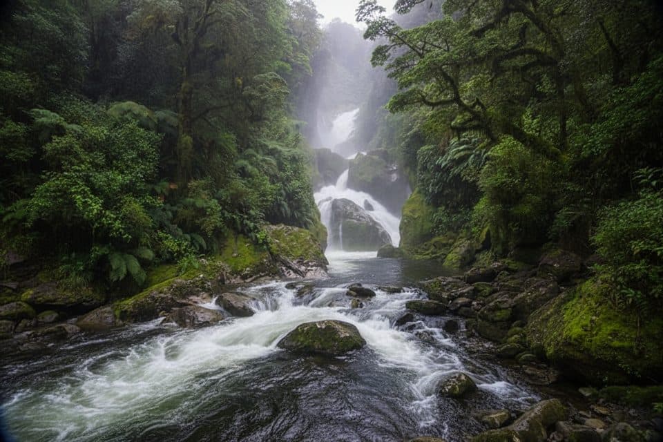
  • Close-up view of a 580 m, three-drop waterfall
  • A compact, memorable detour from the Milford Track
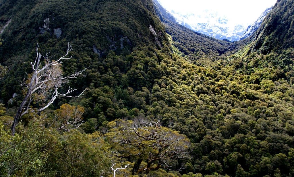
  • Lush Fiordland forest, bridges, and dramatic valley scenery

Heads up

  • Only accessible on foot from the Milford Track
  • Requires Great Walk bookings and boat/shuttle logistics
  • Wet, steepening ground and spray-slick rock near the falls
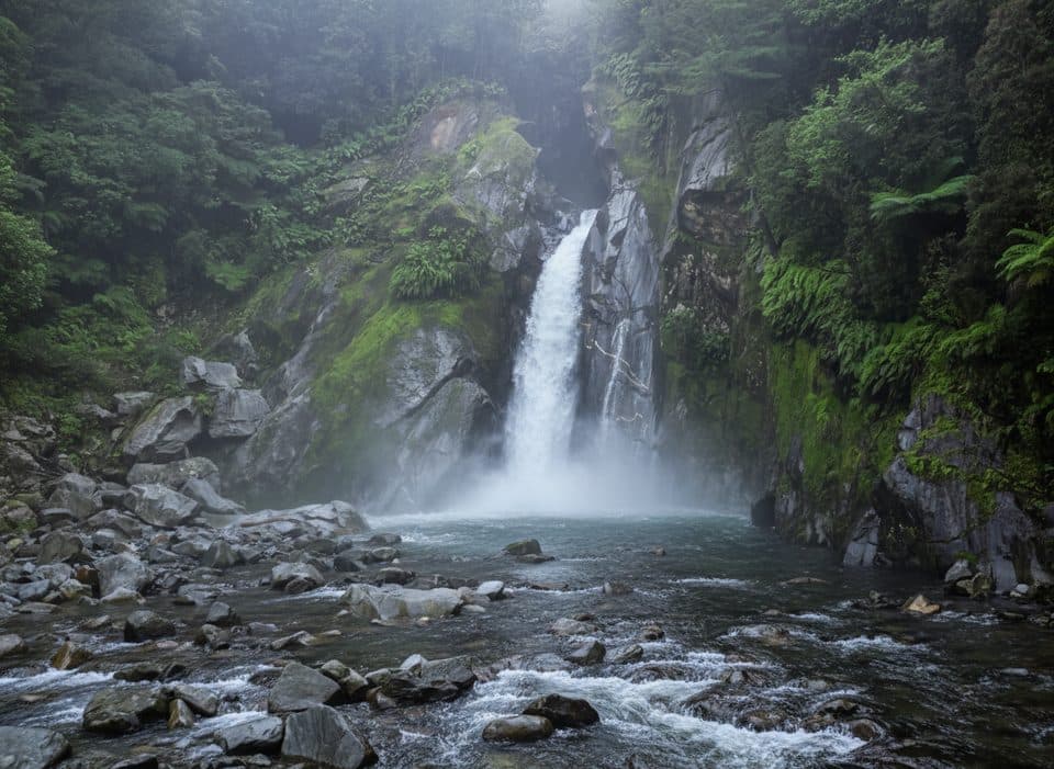
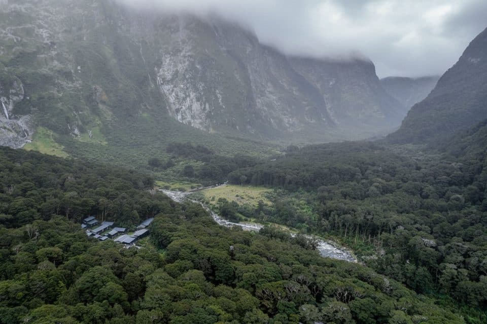
Sutherland Falls is the signature side trip on the Milford Track: a short, steepening walk through Fiordland forest to the foot of a 580 m waterfall that drops from Lake Quill in three leaps. The scale is hard to appreciate until you are close—mist, roar, mossy forest, and sheer valley walls take over the finish.
Parkwolf’s verdictWhy go

Map & elevation

The route

Loading the Fiordland map
Full map
Elevation258–557 m
TrailheadQuintin Shelter-44.79140, 167.75443
Keep this map with you offline in the Parkwolf app

Plan your hike

Before you go

Parking

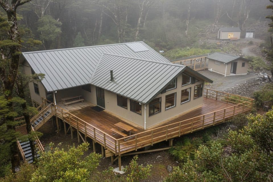
No road access or standalone trailhead parking. Start at Quintin Shelter on the Milford Track as part of a booked Great Walk itinerary; arrange the required boat transfers and shuttles in advance. Toilets are available near the shelter/lodge.

Best time to go

The Great Walk season from November through April generally offers the most practical access, longer daylight, and staffed facilities, but conditions can change quickly in any season. Wear footwear with dependable traction, carry rain and warm layers, and allow extra time for wet ground. This side trip is an access-dependent backcountry add-on, not a standalone road-access day hike.

Safety

Fiordland weather changes quickly. Expect wet, muddy, and slippery footing, especially on the steeper approach and around the spray zone. Stay on the marked track, keep back from fast water and unstable edges, and carry warm rain gear. There is no cell reception; tell someone your Milford Track plans.

A park ranger sits on a dash-mounted phone, talking, as Parkwolf’s Tour Guide plays “Army Cutworm Moths: A Grizzly Bear Buffet” on Grand Loop Road below Dunraven Pass in Yellowstone
Parkwolf Tour GuideThe highest, rockiest slopes around here are a summer buffet for grizzly bears.

Fiordland Tour Guide

Your drive to Sutherland Falls Track, narrated.

Parkwolf is a GPS audio tour guide for Fiordland National Park. As you drive, it chimes in with what’s ahead: hidden gems, upcoming stops, history, geology, and wildlife, right through your car’s speakers.

See the Fiordland audio tour
  • 126 audio storiesacross Fiordland’s roads, triggered by GPS as you drive
  • Wildlife heatmapsfor Kea, Fiordland Penguin, Blue Duck, and 13 more
  • Works offlinemaps, 68 trails, 124 places, and audio download before you lose signal
  • CarPlay readysimple controls built for the drive
★★★★★
“Fantastic app with many points of information… It’s great to just turn on while you’re driving and it gives you an audio tour of the national Park. We love it!!!!”
JMJamesApp Store review
Download Parkwolf on the App StoreGet Parkwolf on Google Play

4.7 from 8,600+ ratings

Trail guide

Hiking Sutherland Falls Track

Route and distanceThis is an out-and-back side trip from Quintin Shelter on the Milford Track.

This is an out-and-back side trip from Quintin Shelter on the Milford Track. The mapped corridor is about 1.46 miles (2.35 km) one way; Parkwolf's visitor distance is about 2.9 miles (4.7 km) return. DOC lists 1 hr 30 min return, which is a realistic plan for the side trip without rushing. The route crosses bridges and follows a marked track through forest, with a noticeable climb and a steeper, rocky approach near the falls. The stored line represents the physical corridor once, from the Quintin Shelter access to the falls viewpoint—do not read the line itself as a round-trip trace.

Access and logisticsThere is no road access to this trail.

There is no road access to this trail. Reach Quintin Shelter as part of a booked Milford Track itinerary, using the required boat transfers and shuttle arrangements for the Great Walk. Toilets are available at the shelter/lodge area. Great Walk hut bookings and fees apply to the wider Milford Track itinerary, and camping is not permitted along the track.

What it is likeExpect lush beech forest, wet roots, bridges, and a short but real uphill push.

Expect lush beech forest, wet roots, bridges, and a short but real uphill push. Fiordland rain can make the track muddy and slick; near the base, spray can reduce visibility and wet the rocks. The waterfall is the destination, not a through-route: enjoy the view, keep clear of unstable edges and fast water, and return the way you came. Birdlife is common in the protected forest, and kea may be seen around the wider Milford Track.

Wildlife

Wildlife in Fiordland

All Fiordland wildlife maps

Sighting maps show where each species has been reported across Fiordland. Wildlife moves, so no sighting is guaranteed.

Keep exploring

Near Sutherland Falls Track

See it all on the map

Trails that start nearby

Places near the trailhead

Parkwolf’s Fiordland ranking

Top-rated trails in Fiordland

All 68 trails
  1. 1Milford TrackChallenging · 53.4 km
  2. 2Routeburn TrackChallenging · 33 km
  3. 3Kepler TrackChallenging · 60 km
  4. 4Luxmore Summit TrackChallenging · 33.5 km
  5. 5Kepler Track to Mount LuxmoreChallenging · 37 km
  6. 7Lake Marian TrackChallenging · 6.3 km

Take Parkwolf to Fiordland.

The audio tour guide for the drive, plus offline maps, trails, and wildlife heatmaps for when the signal drops.

4.7 from 8,600+ ratings

Download Parkwolf on the App StoreGet Parkwolf on Google Play