Overview
About McKerrow Island Hut
Why stop
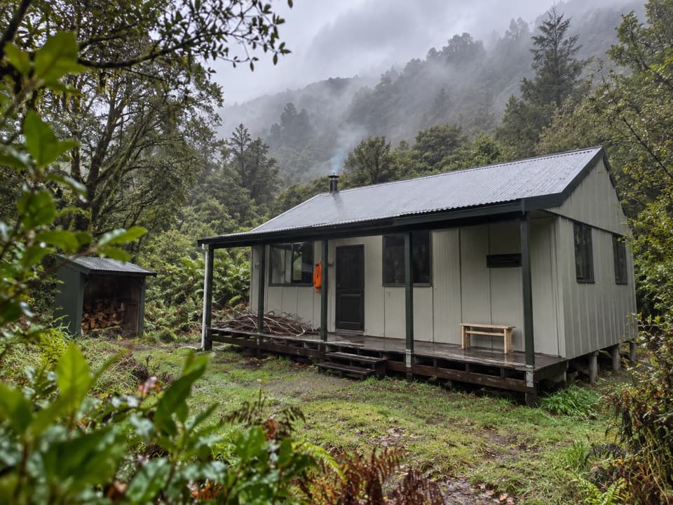
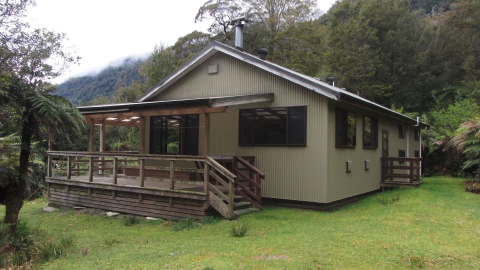
- A heated, 12-bunk overnight stop on the Hollyford Track.
Heads up
- The unbridged river can rise enough to strand trampers.
Map
Where it is

The highest, rockiest slopes around here are a summer buffet for grizzly bears.
Fiordland Tour Guide
Your drive to McKerrow Island Hut, narrated.
Parkwolf is a GPS audio tour guide for Fiordland National Park. As you drive, it chimes in with what’s ahead: hidden gems, upcoming stops, history, geology, and wildlife, right through your car’s speakers.
See the Fiordland audio tour- 112 audio storiesacross Fiordland’s roads, triggered by GPS as you drive
- Wildlife heatmapsfor Kea, Fiordland Penguin, Blue Duck, and 13 more
- Works offlinemaps, 77 trails, 102 places, and audio download before you lose signal
- CarPlay readysimple controls built for the drive
“Fantastic app with many points of information… It’s great to just turn on while you’re driving and it gives you an audio tour of the national Park. We love it!!!!”


Guide
More about McKerrow Island Hut
A remote overnight stopMcKerrow Island Hut is a 12-bunk backcountry hut in bush beside Lake McKerrow / Whakatipu…
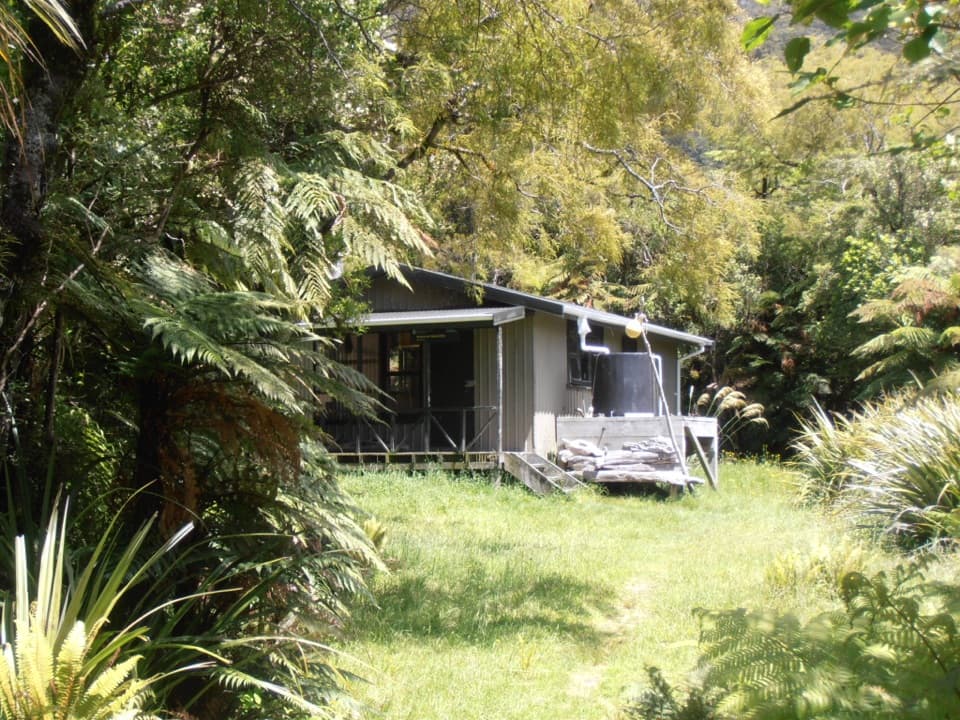
McKerrow Island Hut is a 12-bunk backcountry hut in bush beside Lake McKerrow / Whakatipu Waitai, near the mouth of the Hollyford River. It sits on the 56 km advanced Hollyford Track between Lower Hollyford Road and Martins Bay, a route that usually takes four to five days one way. This is for trampers already committed to the route, not a drive-up stop.
The river crossing sets the limitFrom the Hollyford Track, the hut is a 1.2 km side trip listed at about 30 minutes.
From the Hollyford Track, the hut is a 1.2 km side trip listed at about 30 minutes. The approach crosses the unbridged Hollyford River, then passes through bush to the lake edge. High water can make the crossing impassable and leave you waiting for the river to drop. The track has no alpine section and is walkable in any season, but rain and swollen crossings can still stop progress. Check the forecast and current track alerts before setting out.
Book and bring your own cooking setupBookings are required.
Bookings are required. The standard hut has heating, mattresses and a pit toilet, but no cooking facilities, so bring food and a portable stove. Its tap water is untreated and needs boiling; don't collect water from the Hollyford River, where didymo is present.
Wildlife
Wildlife in Fiordland
 1,233 sightingsKeaMost seen around 10 AMSighting map
 214 sightingsFiordland PenguinMost seen around 7 PMSighting map
 233 sightingsBlue DuckMost seen around 5 PMSighting map
 32 sightingsBottlenose DolphinMost seen around 5 PMSighting map
 252 sightingsNew Zealand Fur SealMost seen around 6 PMSighting map
 69 sightingsKākāMost seen around 6 PMSighting map
Sighting maps show where each species has been reported across Fiordland. Wildlife moves, so no sighting is guaranteed.