Overview
About Wilmot Pass Lookout
Why stop
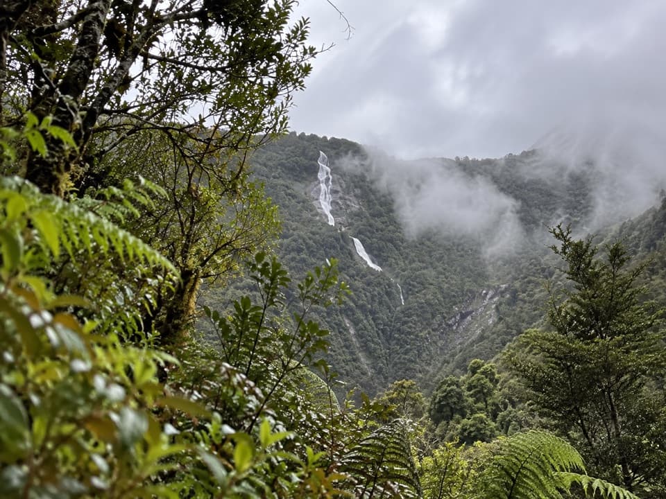
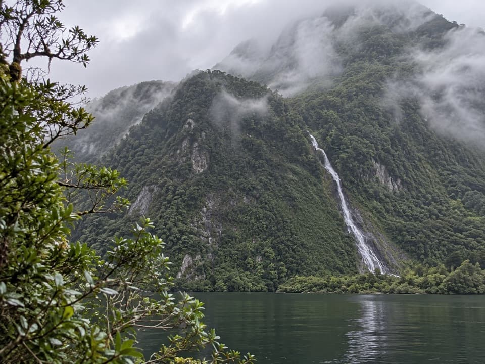
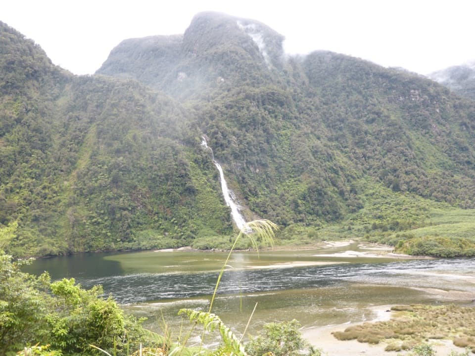
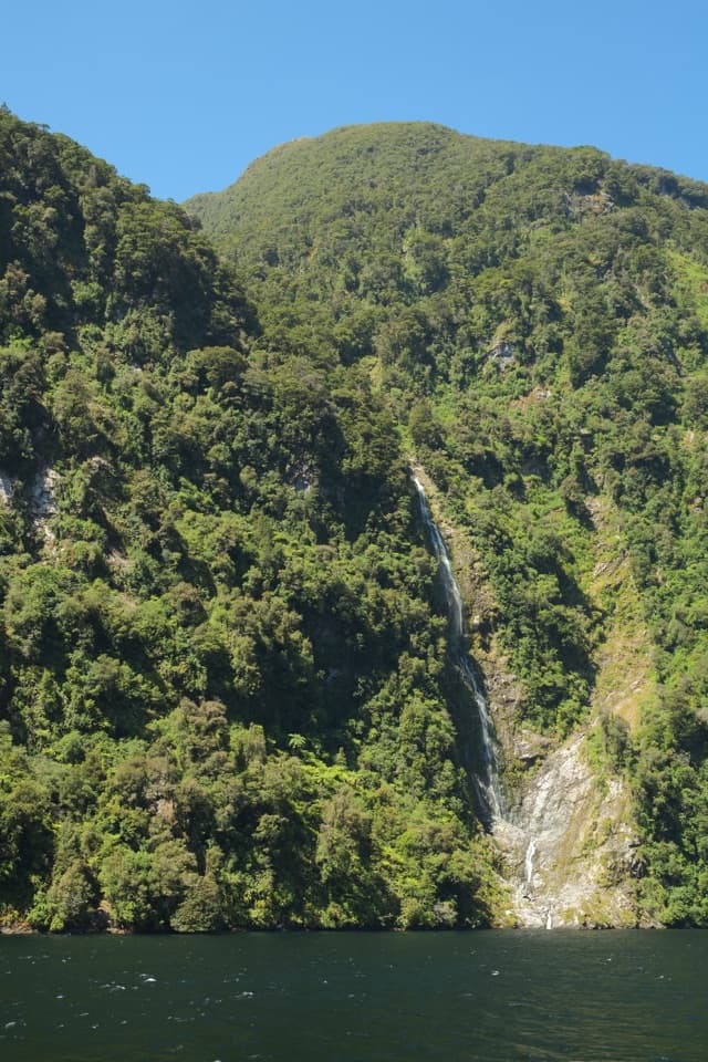
- The forested walls and thin waterfalls give the view plenty of depth.
Heads up
- Low cloud can hide much of the water.
Map
Where it is

The highest, rockiest slopes around here are a summer buffet for grizzly bears.
Fiordland Tour Guide
Your drive to Wilmot Pass Lookout, narrated.
Parkwolf is a GPS audio tour guide for Fiordland National Park. As you drive, it chimes in with what’s ahead: hidden gems, upcoming stops, history, geology, and wildlife, right through your car’s speakers.
See the Fiordland audio tour- 112 audio storiesacross Fiordland’s roads, triggered by GPS as you drive
- Wildlife heatmapsfor Kea, Fiordland Penguin, Blue Duck, and 13 more
- Works offlinemaps, 77 trails, 102 places, and audio download before you lose signal
- CarPlay readysimple controls built for the drive
“Fantastic app with many points of information… It’s great to just turn on while you’re driving and it gives you an audio tour of the national Park. We love it!!!!”


Guide
More about Wilmot Pass Lookout
The view from Wilmot PassWilmot Pass Lookout is a roadside viewpoint on the 671-metre pass between West Arm of Lake…
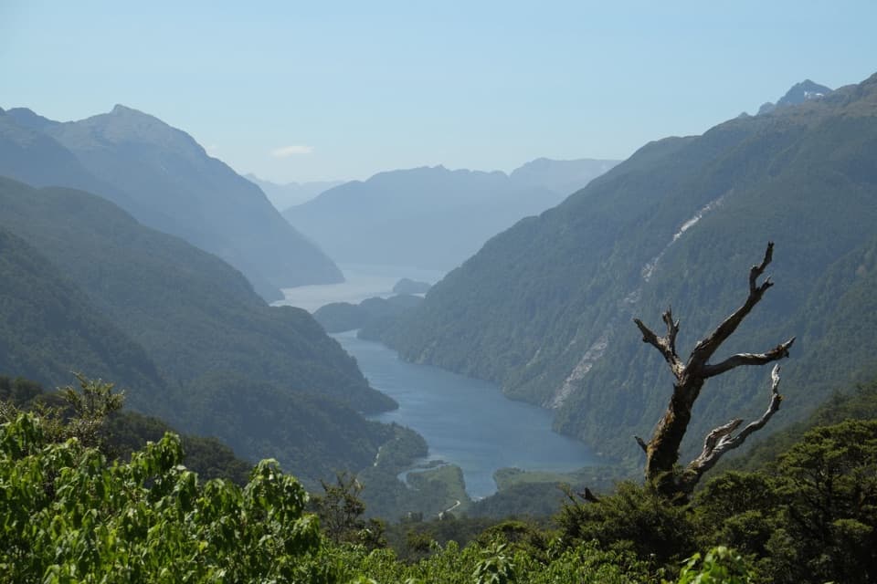
Wilmot Pass Lookout is a roadside viewpoint on the 671-metre pass between West Arm of Lake Manapōuri and Deep Cove. From here, Doubtful Sound/Patea opens below you between steep, forested fiord walls. This is one of the stops that makes the crossing worthwhile; give it a moment when the coach pulls over, especially if the cloud is lifting.
Part of a longer tripMost visitors reach the lookout on the boat-and-coach trip from Manapouri: a boat crosses Lake…
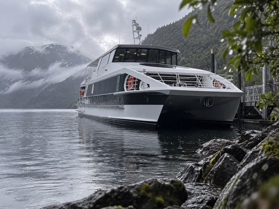
Most visitors reach the lookout on the boat-and-coach trip from Manapouri: a boat crosses Lake Manapōuri to West Arm, a coach crosses Wilmot Pass to Deep Cove, then a cruise heads onto the fiord. Expect a brief photo pause. You can drive the pass yourself with a DOC permit, but you also need to arrange a barge for your vehicle across the lake; the road is gravel with many tight corners and can be tough in alpine weather. There are no shops along the route, so plan ahead.
An unusually deep fiordDoubtful Sound/Patea stretches 40 kilometres from its head to the Tasman Sea and branches into…
Doubtful Sound/Patea stretches 40 kilometres from its head to the Tasman Sea and branches into three arms. At 421 metres deep, it is the deepest of New Zealand’s 14 fiords. The steep walls and hanging waterfalls make more sense once you know this is a glacial valley flooded by the sea.
Patea and the name Doubtful SoundMāori named the fiord Patea, meaning “place of silence.”
Māori named the fiord Patea, meaning “place of silence.” When James Cook approached in 1770, he judged the prevailing westerlies could make sailing back out uncertain and named it Doubtful Harbour. Whalers and sealers later changed the English name to Doubtful Sound.
Make the most of the viewKeep the water and the wooded slopes in a wide frame; the contrast shows how deep the fiord…
Keep the water and the wooded slopes in a wide frame; the contrast shows how deep the fiord cuts between the mountains. On a clear break you can see farther toward Deep Cove, while low cloud can hide much of the water. In wet weather, look for fine waterfalls across the forested walls.
Wildlife
Wildlife in Fiordland
 1,233 sightingsKeaMost seen around 10 AMSighting map
 214 sightingsFiordland PenguinMost seen around 7 PMSighting map
 233 sightingsBlue DuckMost seen around 5 PMSighting map
 32 sightingsBottlenose DolphinMost seen around 5 PMSighting map
 252 sightingsNew Zealand Fur SealMost seen around 6 PMSighting map
 69 sightingsKākāMost seen around 6 PMSighting map
Sighting maps show where each species has been reported across Fiordland. Wildlife moves, so no sighting is guaranteed.