Parking
The access is behind the manager’s house across the road from Deep Cove Hostel. Public parking arrangements were not confirmed; ask the hostel about access and parking before setting out.
Fiordland National Park, SL
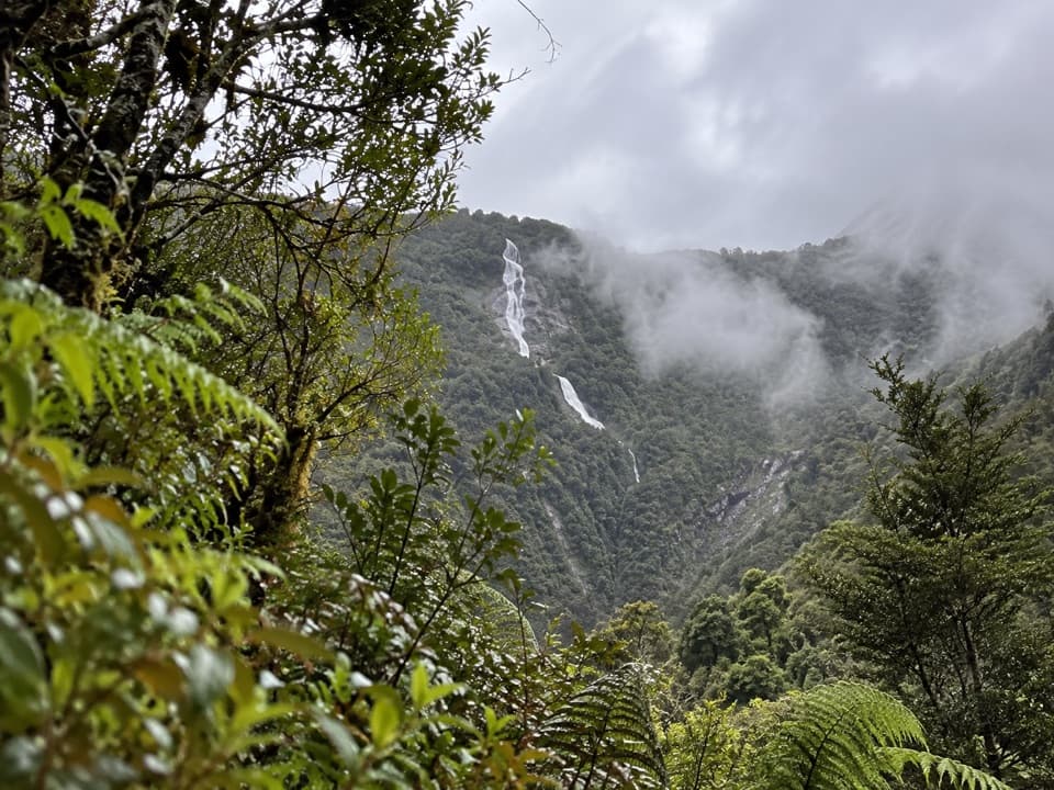
Climb through rain-soaked forest to a high valley and its falls.
Overview
Map & elevation
Plan your hike

The highest, rockiest slopes around here are a summer buffet for grizzly bears.
Fiordland Tour Guide
Parkwolf is a GPS audio tour guide for Fiordland National Park. As you drive, it chimes in with what’s ahead: hidden gems, upcoming stops, history, geology, and wildlife, right through your car’s speakers.
See the Fiordland audio tour“Fantastic app with many points of information… It’s great to just turn on while you’re driving and it gives you an audio tour of the national Park. We love it!!!!”


Trail guide
Hanging Valley Track is a steep out-and-back from the Deep Cove Hostel access up the southern wall of Doubtful Sound to the Kea Cairn and the mouth of a high, glacial valley. The main draw is the change from wet forest to a dramatic hanging valley with views toward Huntleigh Falls and Deep Cove. Plan about 3.8–4 km (2.4–2.5 mi) return and 2–3 hours. The route map gives 4 km return; another current description lists 1.9 km without saying whether that is one way or total, so treat distance as approximate. The mapped corridor is about 1.7 km each way.
The start is behind the hostel manager's house across the road from the hostel. The route climbs beside a stream and gets very steep; exposed roots and rain-slick ground make the descent demanding too. Keep to the track and stay back from steep drops beside the water. A marked side track visits the small hostel hydro dam; that spur is separate from the main walk.
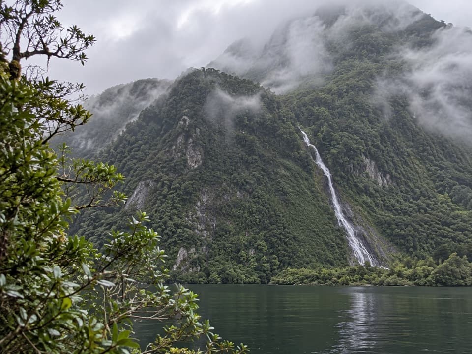
Kea Cairn stands at the mouth of the hanging valley, around 50 minutes on foot from the access without stops. The listed walk continues toward the far end of the valley and the base of Huntleigh Falls. Do not confuse the Mount Troup side route with this walk. At the cairn, look back across Deep Cove and frame the valley and falls together; keep a safe distance from the steep edge.
This smaller valley was carved by a tributary glacier. The larger glacier that formed the main fiord cut deeper, leaving the tributary valley hanging high above it. Its U-shaped form is a clear example of that glacial mismatch, and streams drop from the high valley toward Doubtful Sound.
Deep Cove receives about eight metres of rain in a year. The climb runs through dense rainforest with exposed roots, filmy ferns and orchids; beech, rātā, kāmahi, tōtara and rimu are among the trees described for the area. Weka, tomtits and fantails are likely forest birds, with kererū and kākā also recorded around the canopy.
Permission for visitors who are not hostel guests, parking and public use of hostel facilities were not confirmed. Check with Deep Cove Hostel before setting out, and arrange food, water and toilets elsewhere unless the hostel confirms they are available. Dogs are not allowed in Fiordland National Park without a special permit.
Wildlife
 1,233 sightingsKeaMost seen around 10 AMSighting map
 214 sightingsFiordland PenguinMost seen around 7 PMSighting map
 233 sightingsBlue DuckMost seen around 5 PMSighting map
 32 sightingsBottlenose DolphinMost seen around 5 PMSighting map
 252 sightingsNew Zealand Fur SealMost seen around 6 PMSighting map
 69 sightingsKākāMost seen around 6 PMSighting map
Sighting maps show where each species has been reported across Fiordland. Wildlife moves, so no sighting is guaranteed.
Keep exploring
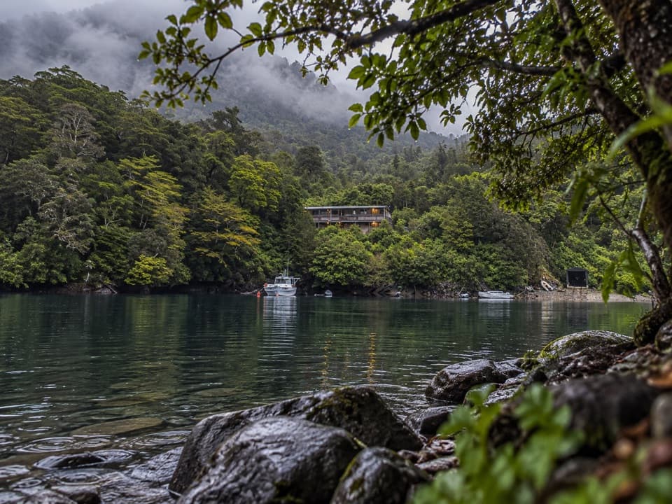 Lodging · 0.1 km awayDeep Cove HostelA remote overnight base for the boat-and-coach trip to Doubtful Sound.
 Sight · 0.7 km awayDeep CoveA boat-and-coach arrival into a 40 km fiord.
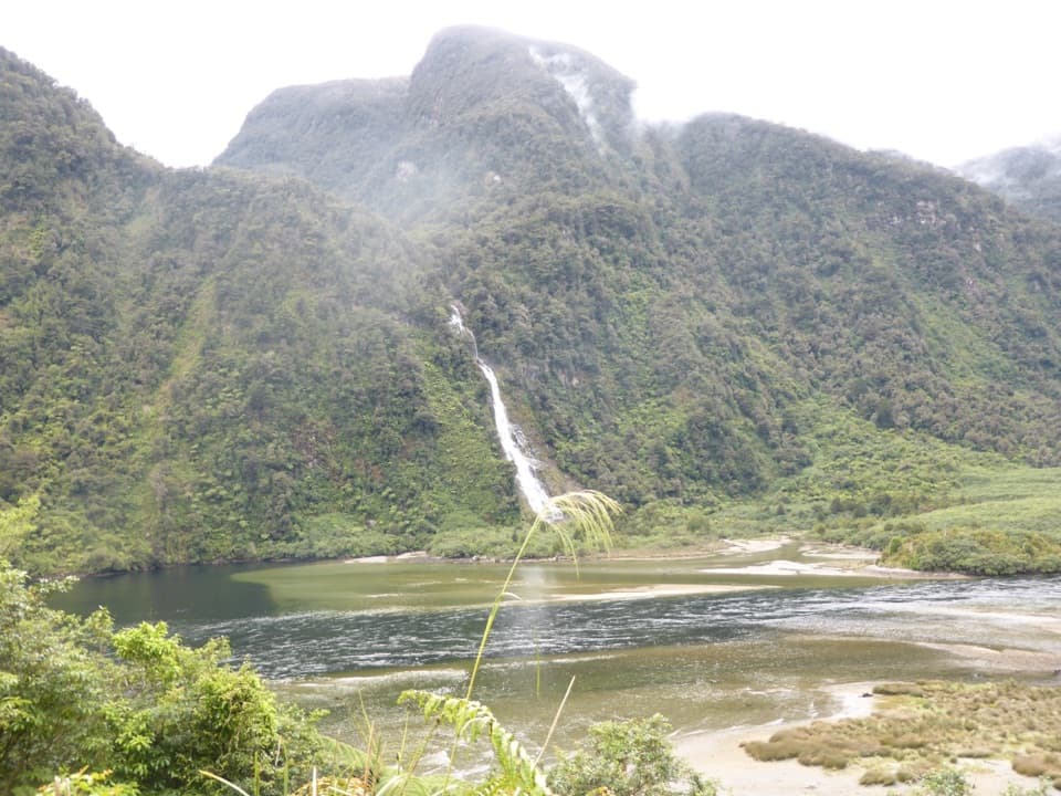 Sight · 1.1 km awayHelena FallsA streamside waterfall stop on the boat-and-coach Doubtful Sound trip.
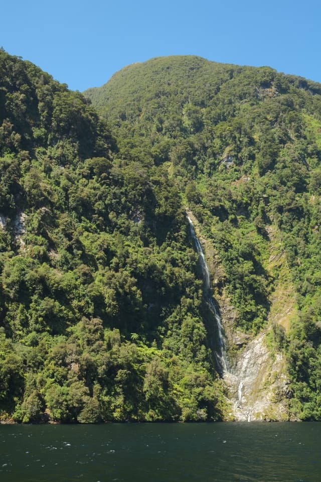 Sight · 2.1 km awayLady Alice FallsA high waterfall tumbling from forested cliffs into Doubtful Sound.
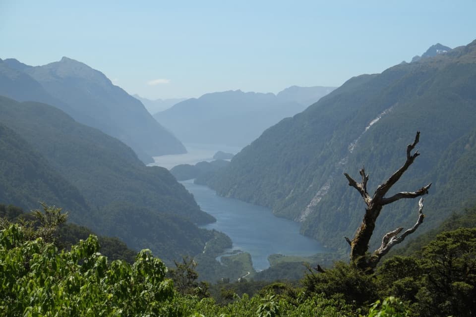 Sight · 5.4 km awayWilmot Pass LookoutA brief coach stop gives a huge view over Doubtful Sound.
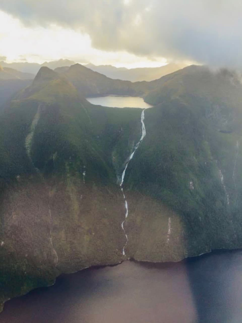 Sight · 8.9 km awayBrowne FallsA remote lake-to-fjord waterfall, seen by boat or air.
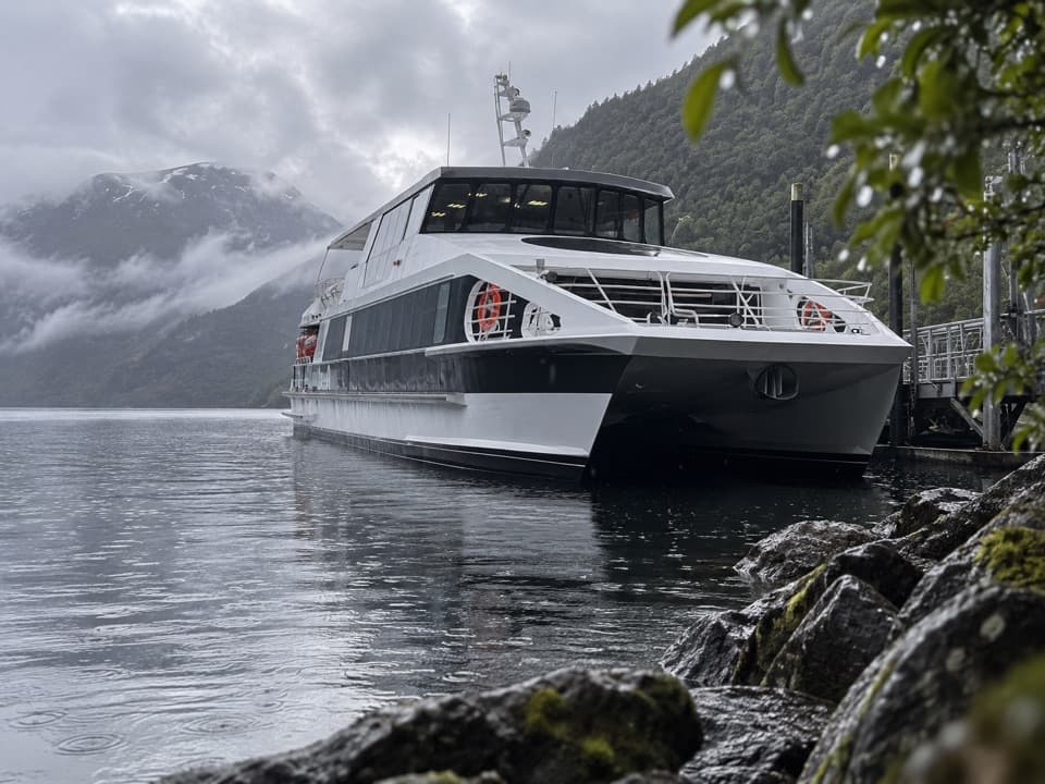 Visitor center · 11.5 km awayWest Arm Visitor CentreA short stop for the power-station story behind Doubtful Sound.
Parkwolf’s Fiordland ranking

The audio tour guide for the drive, plus offline maps, trails, and wildlife heatmaps for when the signal drops.