
Place · 0.6 mi away
Challenging
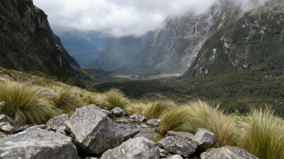
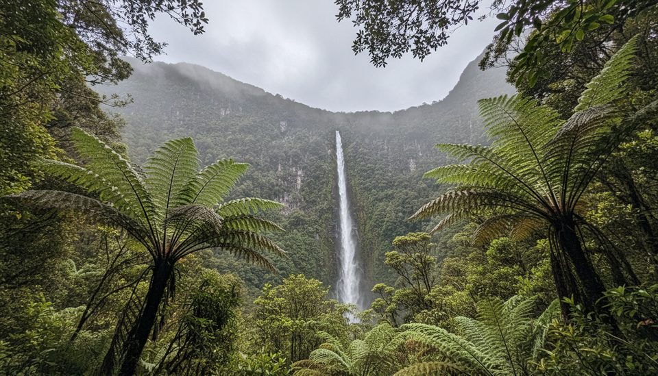
If you’re chasing Fiordland at its rawest, this route delivers: dripping rainforest, a rough, steep climb, and then a jaw-dropping reveal of Lake Adelaide tucked into a granite-walled glacial basin. It’s remote, committing, and better described as an off-trail journey than a hike. Beginners will hate it; experienced trampers will grin through the mud.
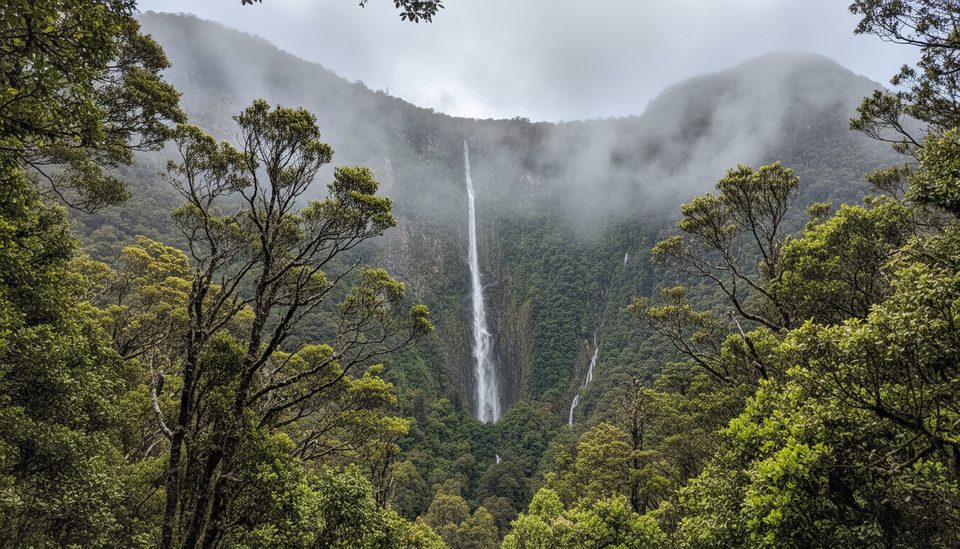
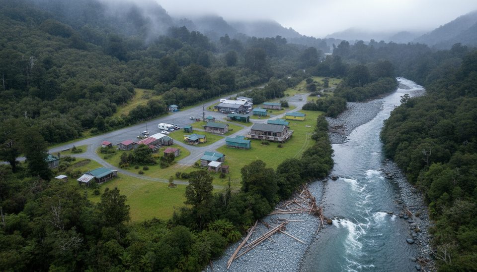
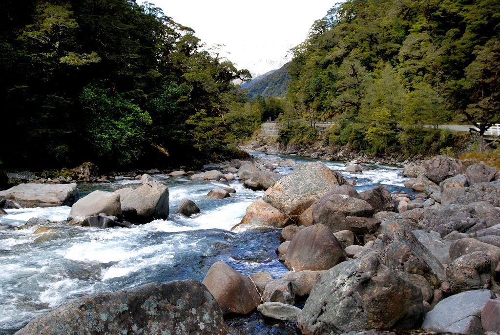
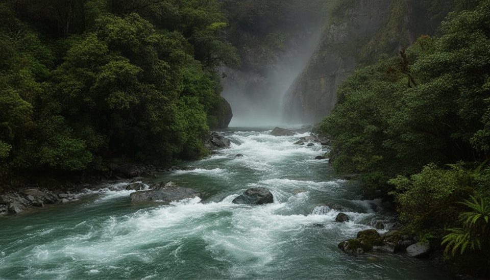
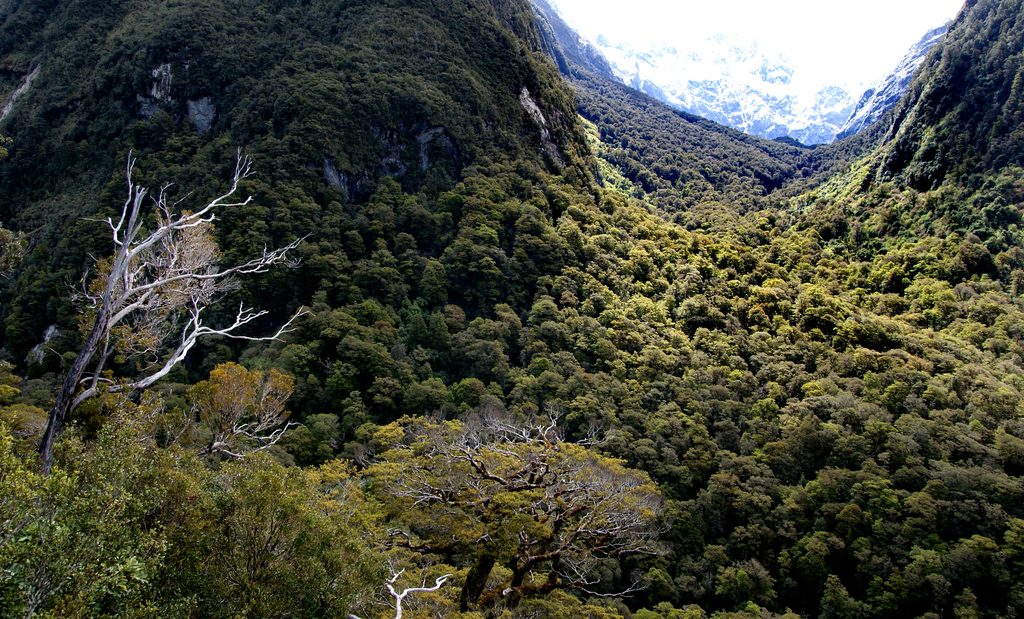
From Lower Hollyford Road, the route begins with a swing bridge over the Hollyford River and follows the north bank of Moraine Creek through dense Fiordland rainforest. Expect mossy beech forest, ferns, frequent side-stream crossings, and a track that’s rough and often muddy. After several hours you reach Tent Flat, a natural clearing and common camp spot—this is the end of any real marking or maintenance. Beyond here, you’re in true wilderness: unmarked terrain, rock gullies, scrub, and sustained steep travel to the Lake Adelaide basin.
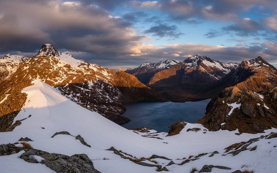
At the head of the valley, Lake Adelaide sits in classic glacial architecture—cirques, moraines, and towering granite walls. Two rock bivvies near the lake provide basic shelter for those overnighting. The route also serves as access to further mountaineering objectives in the Darran Mountains, but that’s well beyond tramping and firmly in expert-alpine territory.
It’s approximately 5.5 km (3.4 miles) one way to Lake Adelaide. Plan on 5–7 hours one way for experienced parties. This is not a loop and travel is slower than you think, especially beyond Tent Flat where there are no markers and navigation is on you.
This is an expert-only backcountry route: rough, steep, unformed, and remote. Hazards include river and stream crossings, slippery terrain, rapidly changing weather, and avalanche exposure in the Lake Adelaide basin—particularly in winter and spring. Navigation skills are essential beyond Tent Flat; do not expect poles, cairns, or a beaten tread.
Late summer to early autumn (February–April) is the safer window when avalanche hazard tends to be lower and water levels are often friendlier. Winter through spring brings significant avalanche risk in the basin. Regardless of season, check conditions with the Fiordland National Park Visitor Centre before you go and carry full backcountry kit.
Access via Lower Hollyford Road; start at the swing bridge over the Hollyford River about 1 km from the road end.
Expert-only backcountry route. Unmarked beyond Tent Flat with river crossings, steep terrain, and significant avalanche risk in winter/spring. Weather changes fast—check conditions with the Fiordland National Park Visitor Centre.
Place · 0.6 mi away
Place · 2.9 mi away
Place · 3 mi away
Place · 4.2 mi away
Easy · 0.6 mi away
Moderate · 0.6 mi away
Moderate · 0.6 mi away
Challenging · 7.5 mi away

Parkwolf Tour Guide
