Parking
Park at the Lake Marian carpark, 1 km down the unsealed Hollyford Road from Marian Corner on SH94. Facilities are limited; carry food and water for the track.
#7 of 68 trails in Fiordland
Fiordland National Park, SL
Short, rough climb to a mirror-still alpine lake in a hanging valley
Overview
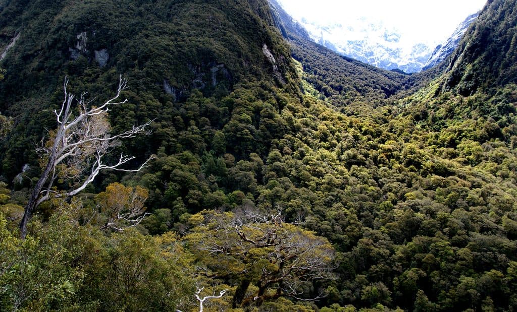
Lake Marian Track is a challenging out-and-back to an alpine lake in a glacially formed hanging valley beneath the Darran Mountains. The route begins at the Lake Marian carpark, crosses the swingbridge, follows the waterfalls and Marian Creek through beech forest, then climbs to the rocky lakeshore.
The mapped corridor is about 3.0 km/1.9 miles one way; DOC lists 3.1 km/1.9 miles one way and about 3 hours return. Plan on roughly 6.2 km/3.9 miles total, with about 350 m of climbing in the mapped profile. Beyond the waterfall section this is an advanced tramping track with steep, rough, rooty, and sometimes muddy footing. Orange markers assist navigation, but good fitness, sure-footedness, and backcountry experience are important.
Lake Marian sits in a dramatic alpine basin and can reflect the surrounding peaks in calm weather. The route stays in native forest for much of the climb, with rushing water and birdlife along the lower section. The lake water is extremely cold, and the rocky shore requires care.
Park at the Lake Marian carpark, 1 km down the unsealed Hollyford Road from Marian Corner on SH94. Facilities are limited, so carry food, water, layers, and rain gear. Ongaonga stinging nettle grows along the track, and wet weather can make roots, rocks, stream crossings, and mud slippery. Do not walk around the lake edge during the winter and spring snow or avalanche season. Dogs are not permitted.
Map & elevation
Plan your hike

The highest, rockiest slopes around here are a summer buffet for grizzly bears.
Fiordland Tour Guide
Parkwolf is a GPS audio tour guide for Fiordland National Park. As you drive, it chimes in with what’s ahead: hidden gems, upcoming stops, history, geology, and wildlife, right through your car’s speakers.
See the Fiordland audio tourRecorded for this trailhead
Lake Marian: A Classic Fiordland Alpine Hike“The car park ahead is the beginning of the Lake Marian Track, which offers some of the best alpine scenery for a half-day hike.”
Plays as you drive up to this trailhead in the Parkwolf Fiordland Tour Guide.
More stories near here in the app
“Fantastic app with many points of information… It’s great to just turn on while you’re driving and it gives you an audio tour of the national Park. We love it!!!!”


Wildlife
 1,181 sightingsKeaMost seen around 10 AMSighting map
 199 sightingsFiordland PenguinMost seen around 7 PMSighting map
 228 sightingsBlue DuckMost seen around 5 PMSighting map
 32 sightingsBottlenose DolphinMost seen around 5 PMSighting map
 247 sightingsNew Zealand Fur SealMost seen around 6 PMSighting map
 58 sightingsKākāMost seen around 6 PMSighting map
Sighting maps show where each species has been reported across Fiordland. Wildlife moves, so no sighting is guaranteed.
Keep exploring
 EasyMarian Falls Track1.3 km · 20 min · At the trailheadA quick rainforest stroll to photogenic cascades and a swing bridge
 EasyPop's View Lookout Walk0.2 km · 15 min · 0.4 km awayRoadside panorama over the Hollyford Valley with kea and a memorial
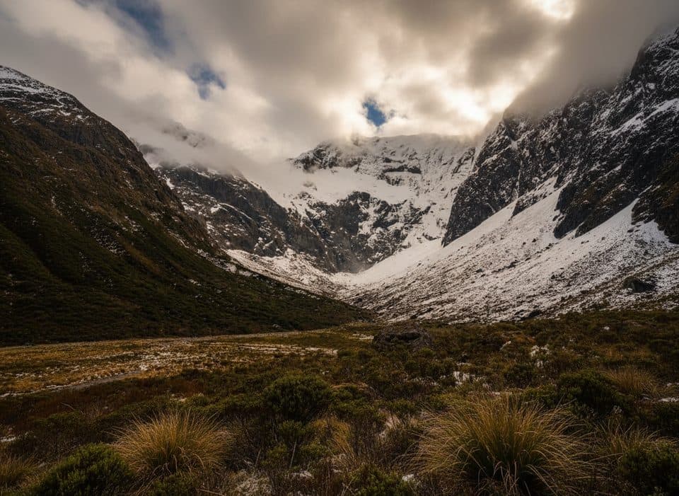 ChallengingFalls Creek Route6.8 km · 8 hr · 2.2 km awayAn expert route from Christie Falls into raw Fiordland backcountry
 ModerateRouteburn Track to Lake Mackenzie11.3 km · 5.5 hr · 2.2 km awayBeech forest, Earland Falls, and a glassy alpine lake
 ModerateRouteburn Track to Earland Falls13.4 km · 6 hr · 2.2 km awayA full-day walk to Fiordland's 174 m waterfall
 EasyLake Howden Track6.8 km · 3 hr · 2.2 km awayA short beech-forest walk from The Divide to Lake Howden.
 ModerateCaples Track33.5 km · 15 hr · 2.2 km awayPoint-to-point tramp through the Caples valley to The Divide Shelter
 ChallengingRouteburn Track33 km · 14 hr · 2.2 km awayA 20.5-mile alpine point-to-point Great Walk from The Divide to Routeburn Shelter
 Scenic pullout · 0.4 km awayPop's View LookoutQuick pull-off with big Hollyford Valley views and cheeky kea
 Sight · 0.4 km awayMarian CascadeQuick, roaring cascades a short stroll from the Lake Marian track
 Sight · 1.2 km awayLake Marian LookoutShort walk to a gantry over thundering Marian Falls
 Sight · 2.2 km awayKey Summit Lookout360-degree alpine views and tarns via a short Routeburn side trip
 Trailhead · 2.2 km awayThe DivideBusy gateway to Routeburn and Key Summit with shelter and toilets
 Sight · 3 km awayLake HowdenQuiet forest lake at a famous track junction
 Sight · 3.3 km awayHinepipiwai / Lake MarianMirror-still alpine lake in a dramatic hanging valley
 Sight · 4.1 km awayLake FergusQuiet roadside lake with mirror reflections in the Eglinton Valley
Parkwolf’s Fiordland ranking

The audio tour guide for the drive, plus offline maps, trails, and wildlife heatmaps for when the signal drops.


