
Place · 0.1 mi away
Moderate
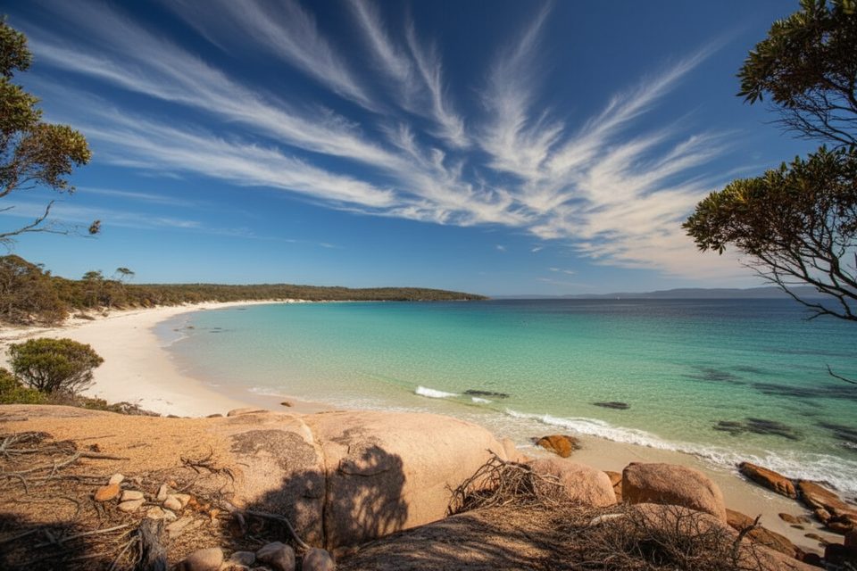
Start from the Wineglass Bay car park and follow the coastal Hazards Beach Track to Hazards Beach, then continue south along the sand to Cooks Beach. It’s roughly 12 km one way (about 7.5 miles), typically 3.5–5 hours depending on pace and sand conditions. Terrain is mostly flat coastal walking with extended beach sections. Cooks Corner Campsite sits at the sheltered southern end of the 1 km‑long Cooks Beach, with historic Cooks Hut about 100 m inland (emergency use only).
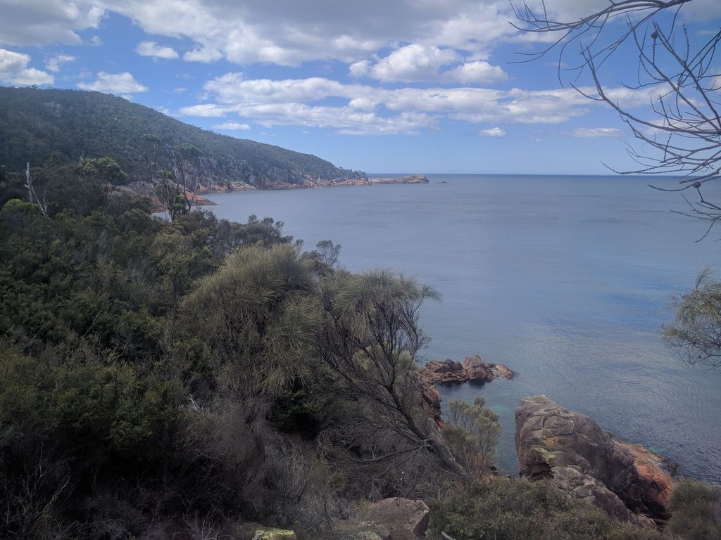
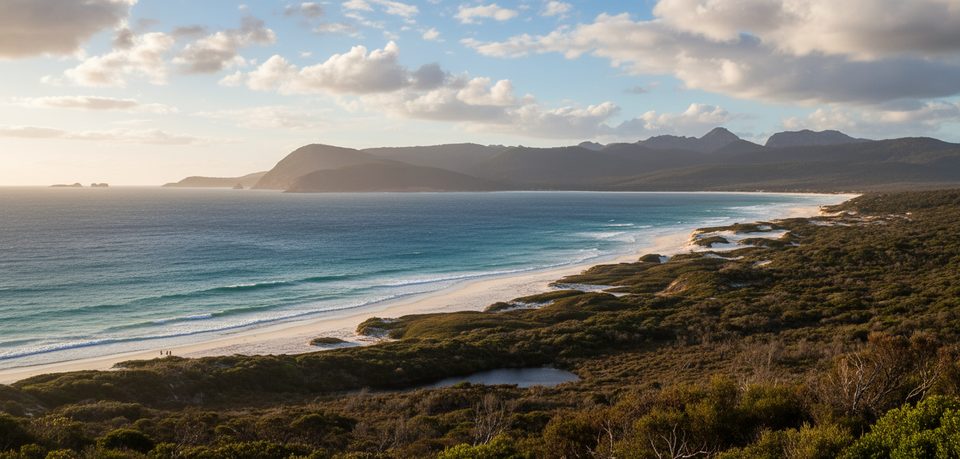
This is the serene side of Freycinet—broad beaches, turquoise water, and pink‑granite headlands without the bustle of the Wineglass Bay crowd. The approach threads coastal heath, blue gum woodland, and sheoak forest rich in birdlife, then opens to a beautiful, little‑peopled arc of sand ideal for lunch or an overnight.
Cooks Corner has sheltered tent sites and a composting toilet; a tank at Cooks Hut is often present but not guaranteed—boil or treat. Hazards Beach campsite also has a composting toilet; creek water can be unreliable and must be treated. If you’re continuing the Peninsula Circuit beyond Cooks Beach toward Wineglass Bay, top up fully here: that inland section is longer and steeper, creeks are unreliable, and there’s no water tank at Wineglass Bay campsite. Carry at least 2 L per person per day (more in heat) and treat all sources.
Walk the circuit anti‑clockwise (western side first) to help limit the spread of Phytophthora root rot, and clean your gear. On the beaches, stick to the firm, wet sand to avoid disturbing nesting shorebirds—keep an eye out for Pied Oystercatchers and Hooded Plovers.
From Cooks Corner, an easy 3 km (about 2 hours) return wander to Bryans Corner delivers another quiet cove (no facilities). If you’re tackling the full circuit, the Cooks Beach to Wineglass Bay leg is about 11 km with around 500 m of total climb and some steep, challenging sections; the optional Mount Freycinet summit is a very steep 1.5 km return detour that adds time, energy, and water demands.
Start early for cooler temps, firmer sand, and softer light. Summer can leave creeks dry, so plan your water. Conditions can change quickly; winds are common on exposed high sections if you continue inland. A park pass is required; no dogs; fuel‑stove only area (and no naked flames during total fire bans).
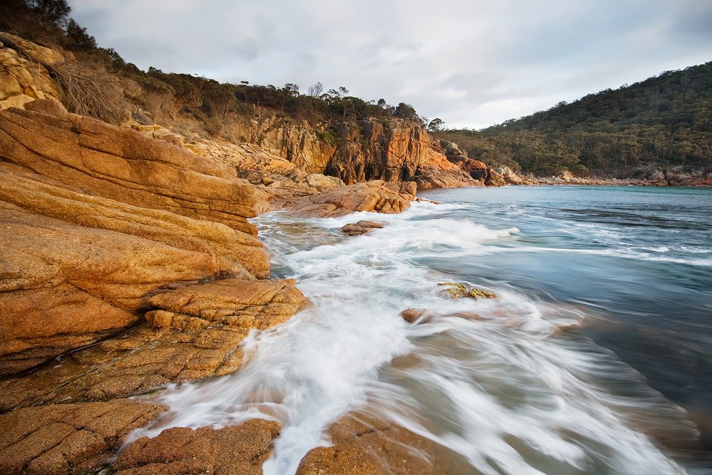
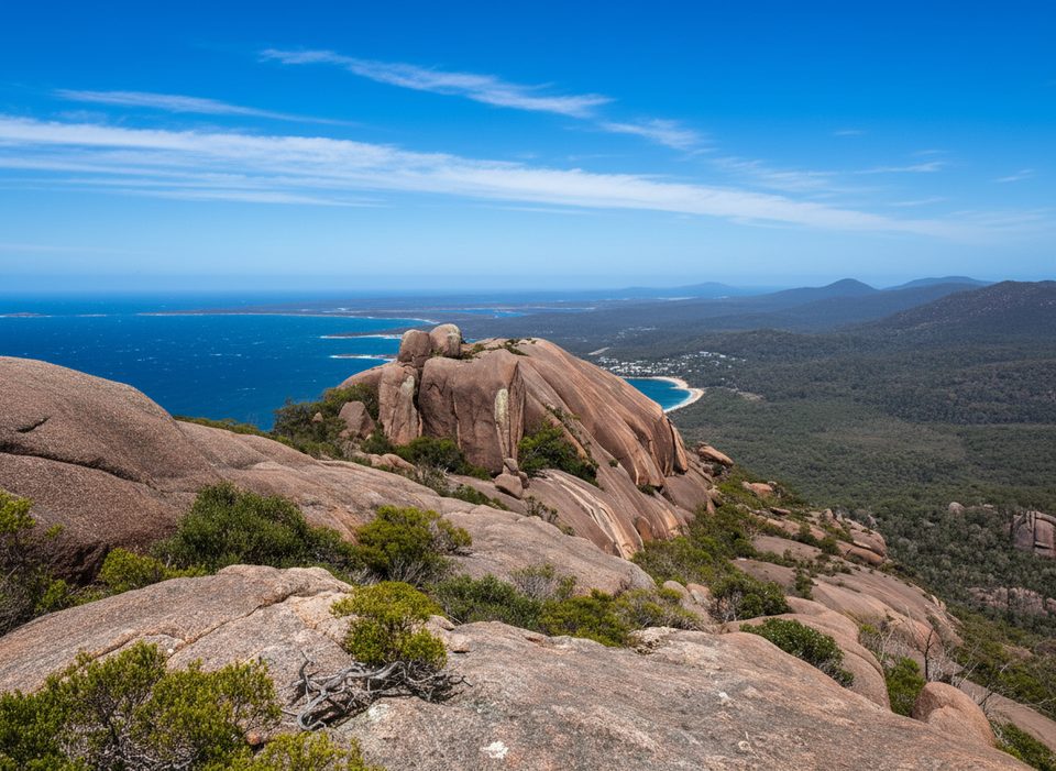
Freycinet’s signature orange‑pink granite contrasts with nearby dolerite‑derived soils that nurture heathlands and eucalypts. Cooks Hut includes a stone section dating to 1859, a reminder of early grazing on the peninsula; today it’s strictly for emergencies.
Park at the Wineglass Bay car park and begin via the Hazards Beach Track.
Walk anti‑clockwise to reduce root rot spread; stay on wet sand to avoid nesting shorebirds; water is unreliable—carry and treat; soft sand sections can be tiring.
Place · 0.1 mi away
Place · 0.1 mi away
Place · 0.6 mi away
Place · 0.9 mi away
Moderate · 0 mi away
Easy · 1.5 mi away
Challenging · 1.6 mi away
Easy · 9.9 mi away

Parkwolf Tour Guide
