

Place · 0.2 mi away
Challenging
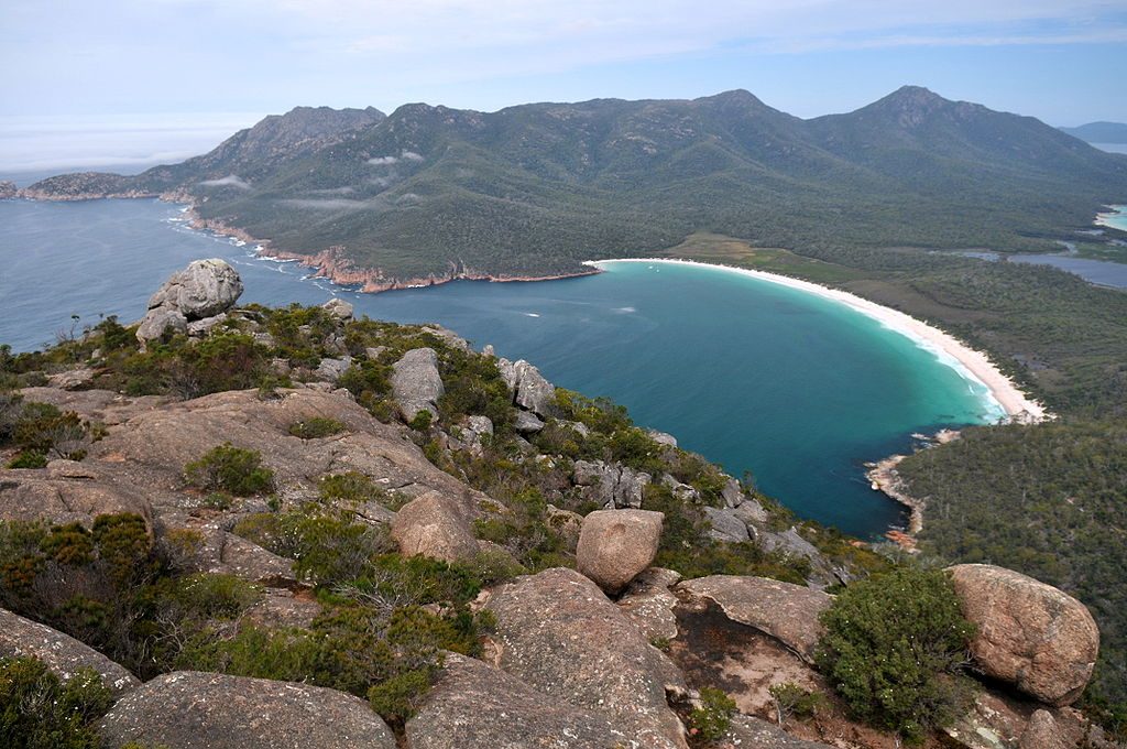
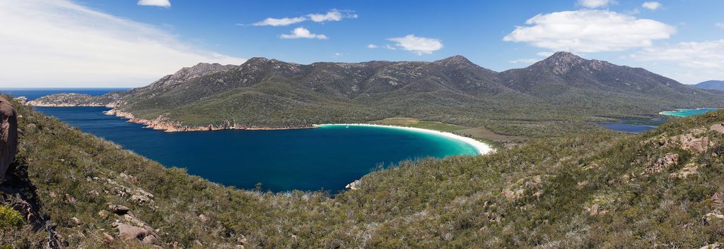
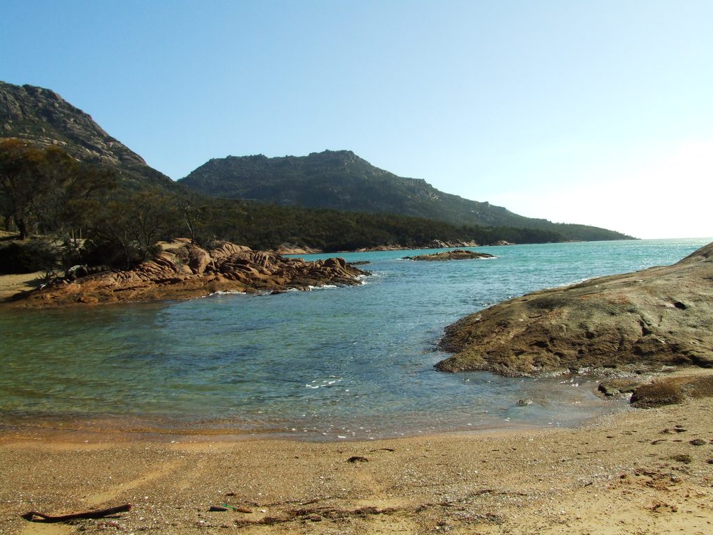
Mount Amos is the spicy, hands‑on hike in Freycinet: a short but very steep out‑and‑back up polished granite slabs to a knockout panorama of Wineglass Bay, Coles Bay, and Honeymoon Bay. It’s about 3.1 miles (5 km) total, with roughly 1,500 feet of gain, and most hikers take 3–5 hours depending on confidence on rock and time lingering at the top. If you like using both hands and earning your views, this is the park’s money shot.
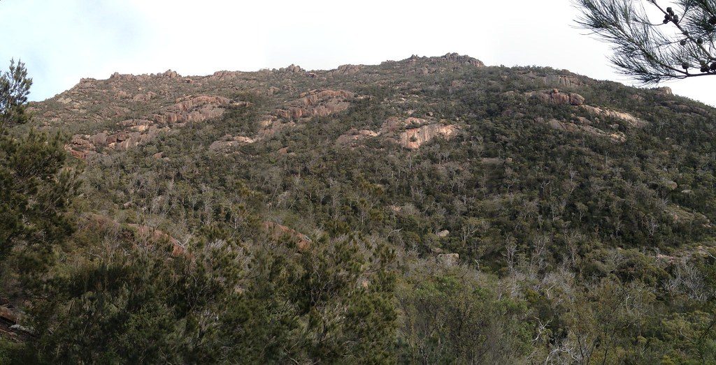
Right from the trailhead the grade bites and keeps biting. Expect big boulders and long granite slaps where you’ll use hands and feet. Yellow arrows guide you onto the safest line—stick to them to avoid sketchier, steeper slabs. The descent feels even steeper; many hikers safely “butt‑scoot” the slick sections. On the way up, views open over Coles Bay and Honeymoon Bay before the summit reveals the classic curve of Wineglass Bay.
This is a dry‑weather only hike. The granite becomes extremely slippery when wet or even damp; do not attempt during or right after rain. Wear grippy hiking shoes, keep your hands free (small daypack, no hand‑carried bottles), and budget patience for narrow, one‑way spots when it’s busy. A headlamp is essential if you’re chasing sunrise or sunset.
Start from the Mount Amos car park at the Wineglass Bay area off Freycinet Road. Toilets and water are available at the trailhead, but there’s nothing on the route—carry at least a liter (more if it’s warm). A valid Tasmanian National Parks pass is required. Pets aren’t permitted in Tasmania’s national parks.
Go when the rock is bone‑dry. Early mornings offer cooler temps and fewer crowds; late‑day light is gorgeous but plan extra time and bring layers and headlamps for the careful descent. If conditions are wet or forecast is iffy, skip Mount Amos and opt for the Wineglass Bay Lookout instead.
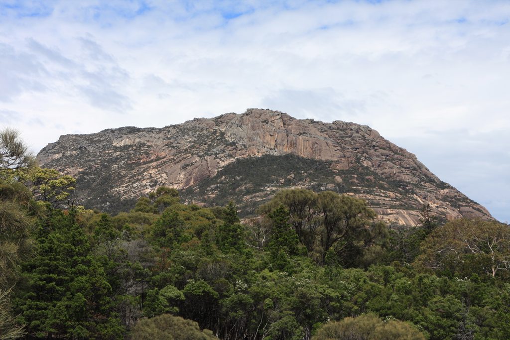
You’re climbing the pink‑orange granite of The Hazards range—polished slabs that make this route both fun and serious. Keep an eye out for soaring raptors; coastal wildlife in the area includes White‑bellied Sea Eagles and, offshore, Australian Fur Seals and even Southern Right Whales in season. The Hazards are named after American whaler Albert “Black” Hazard, and the broader peninsula has deep Indigenous heritage tied to the Toorernomairremener people.
In dry conditions and with sure footing, Mount Amos delivers arguably the best viewpoint in Freycinet on a relatively short timeline. In the wet, it’s a hard no—save it for another day and choose a safer alternative.
Mount Amos car park at the Wineglass Bay area off Freycinet Road; toilets and water at the trailhead.
Dry‑weather only—polished granite turns extremely slippery when wet. Expect steep scrambling, hands needed, and a trickier descent; follow yellow arrows and allow extra time if attempting near sunset.
Place · 0.2 mi away
Place · 0.4 mi away
Place · 0.6 mi away
Place · 0.9 mi away
Moderate · 1.6 mi away
Moderate · 1.6 mi away
Easy · 3 mi away
Easy · 10.8 mi away

Parkwolf Tour Guide
