Parking
Cape Tourville car park at the end of Cape Tourville Road; the circuit starts beside the lot.
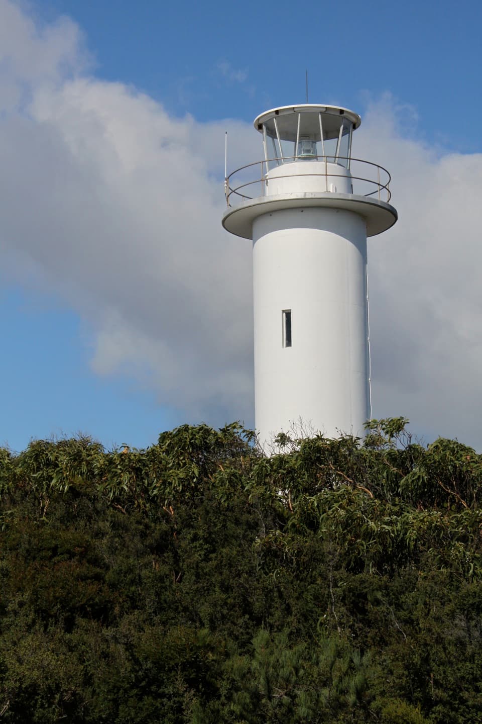
#4 of 21 trails in Freycinet
Freycinet National Park, TAS
Easy lighthouse loop with wide views of the Nuggets and Tasman Sea.
Overview
Map & elevation
Plan your hike

The highest, rockiest slopes around here are a summer buffet for grizzly bears.
Freycinet Tour Guide
Parkwolf is a GPS audio tour guide for Freycinet National Park. As you drive, it chimes in with what’s ahead: hidden gems, upcoming stops, history, geology, and wildlife, right through your car’s speakers.
Recorded for this trailhead
Cape Tourville Lighthouse and Lookout“Up ahead is Cape Tourville, with a short boardwalk around the lighthouse and views across the Hazards, Wineglass Bay and the offshore rocks called the Nuggets.”
Plays as you drive up to this trailhead in the Parkwolf Freycinet Tour Guide.
More stories near here in the app
“Fantastic app with many points of information… It’s great to just turn on while you’re driving and it gives you an audio tour of the national Park. We love it!!!!”


Trail guide
Cape Tourville Circuit is a 600 m loop on Freycinet National Park’s eastern headland, circling the Cape Tourville Lighthouse and a cliff-top lookout. The official Grade 1 walk takes about 20 minutes at a steady pace. I’d add it when you want a broad coastal view without committing to the longer climb to Wineglass Bay Lookout, or as a quick stop after that hike. This stays on the headland rather than descending to the bay, so choose it for the view from above. Build in a 10-minute pause if you want time at every viewpoint.
Start at Cape Tourville car park at the end of Cape Tourville Road. The circuit returns to the same access. The route is short, with a wide, firm surface and gentle grades; much of the seaward side is raised boardwalk. The boardwalk comes close to the cliff edge at places, so stay on the track and keep children behind the barriers. The managing agency notes that some wheelchair users may need help on a moderate gradient. The Grade 1 rating describes an easy walk for many visitors; it does not guarantee independent wheelchair access.
A valid parks pass is required to enter Freycinet National Park. Dogs and other pets are prohibited, apart from accredited assistance animals.
The southern side opens across Wineglass Bay and the Hazards, with the low offshore rocks called the Nuggets in the foreground. Turn north for coastline toward Friendly Beaches. This is the walk’s signature view and its best photo stop: include the Nuggets and a strip of the headland instead of filling the frame with water alone. Take a moment to look for the whale-length markers reported along the southern boardwalk; they put the size of migrating whales into perspective.
Sea birds, sea eagles, whales, seals and dolphins have all been seen from Cape Tourville. These are possible sightings, never a guarantee. Binoculars are useful here because some of the wildlife is well offshore; give the water a few minutes before moving on.
The white cylindrical lighthouse was built in 1971 as an automatic light. It replaced the hard-to-reach Cape Forestier Lighthouse on Lemon Rock, which was decommissioned that same year. The Cape Tourville light was never manned, and no tours are offered inside. The circuit follows the tower’s exterior, pairing a very short walk with a small piece of Tasmania’s coastal navigation history. The light’s replacement moved the beacon from an inaccessible offshore rock onto the peninsula, where visitors can now walk around its exterior.
Wildlife
 27 sightingsWombatMost seen around 7 PMSighting map
 36 sightingsEchidnaMost seen around 6 PMSighting map
 361 sightingsRed-necked WallabyMost seen around 6 PMSighting map
 17 sightingsPademelonMost seen around 7 PMSighting map
 28 sightingsWhite-bellied Sea-EagleMost seen around 5 PMSighting map
 54 sightingsKookaburraMost seen around 7 AMSighting map
Sighting maps show where each species has been reported across Freycinet. Wildlife moves, so no sighting is guaranteed.
Keep exploring
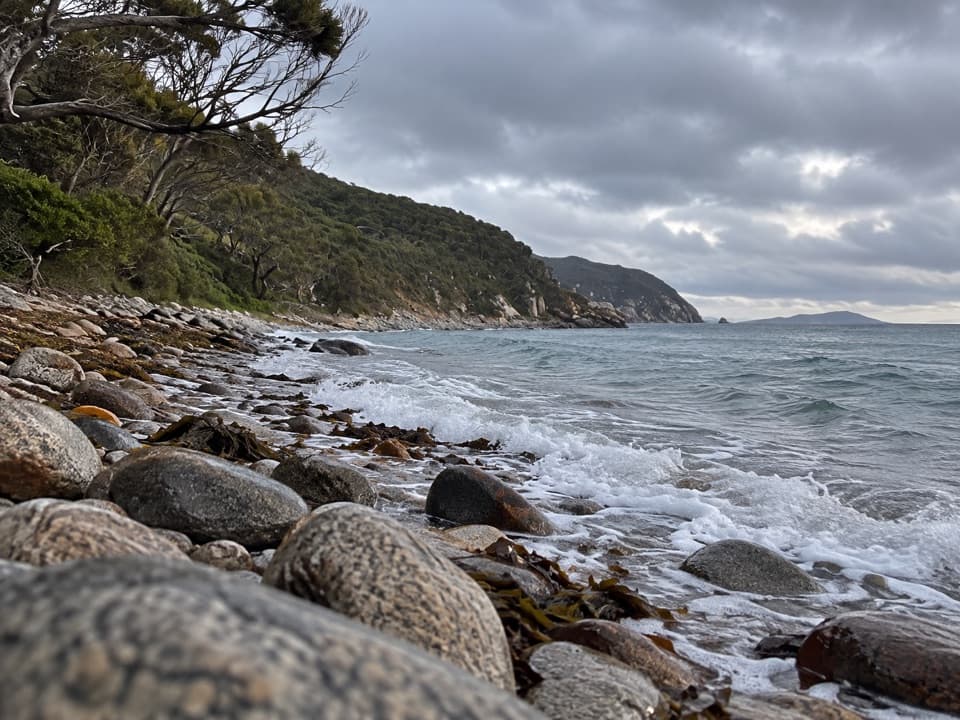 EasyBluestone Bay Walk5 km · 2 hr · 0.4 km awayA rough track ends at pink and blue shoreline boulders.
 EasySleepy Bay and Little Gravelly Beach Track1 km · 30 min · 2.3 km awayA quick coastal walk pairs orange lichen with a pebble cove.
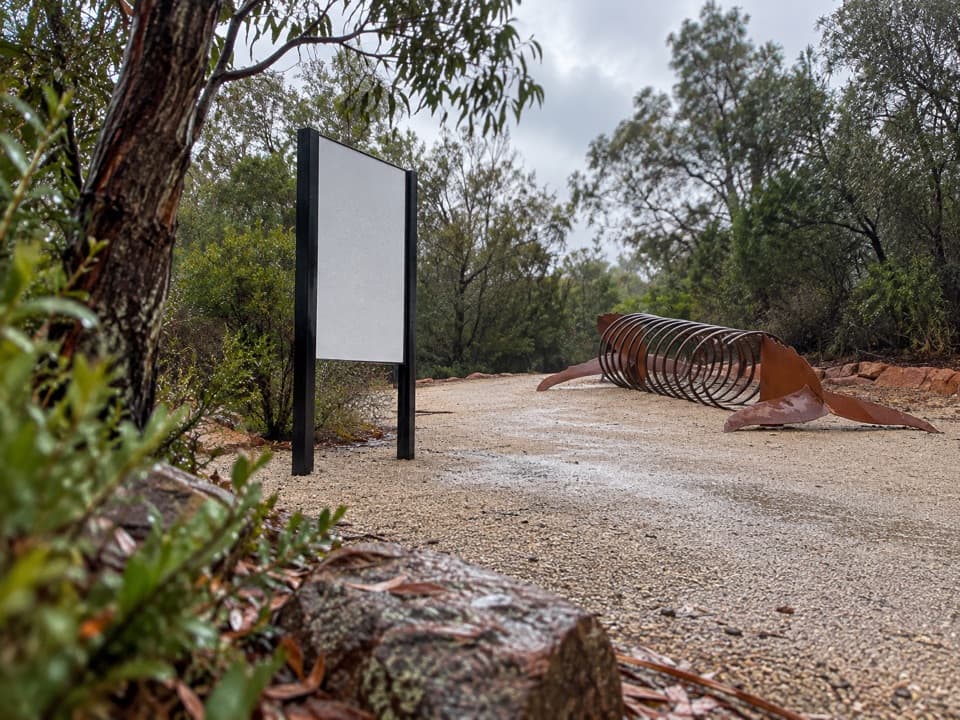 EasyFreycinet Walk and Cycle Track4 km · 1 hr · 3.6 km awayA gentle 4 km link with views of the lower Hazards.
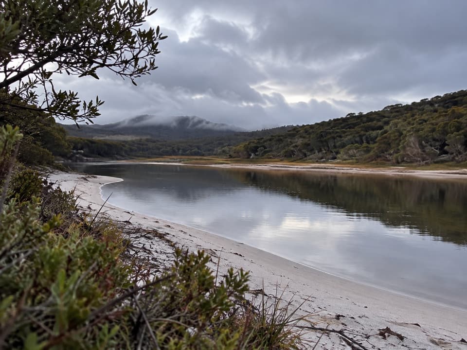 ChallengingFreshwater Lagoon via Coles Bay19.8 km · 5.8 hr · 3.8 km awayA long coastal walk to a lagoon, with a rough tinfield spur.
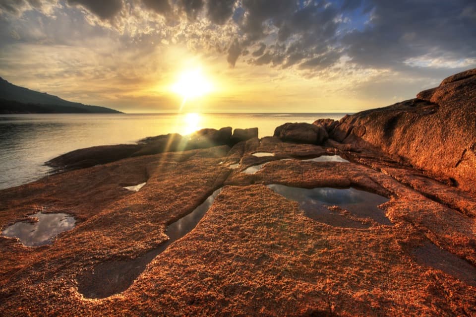 ModerateHoneymoon Bay to Parsons Cove6.1 km · 1.8 hr · 3.9 km awayA 3.8-mile return walk from Honeymoon Bay to Parsons Cove.
 ChallengingFreycinet Peninsula Circuit28.2 km · 12 hr · 5 km awayA multi-day coastal loop with an inland climb.
 ChallengingMount Graham Summit20.4 km · 9 hr · 5 km awayA long climb from the bay earns views north and south.
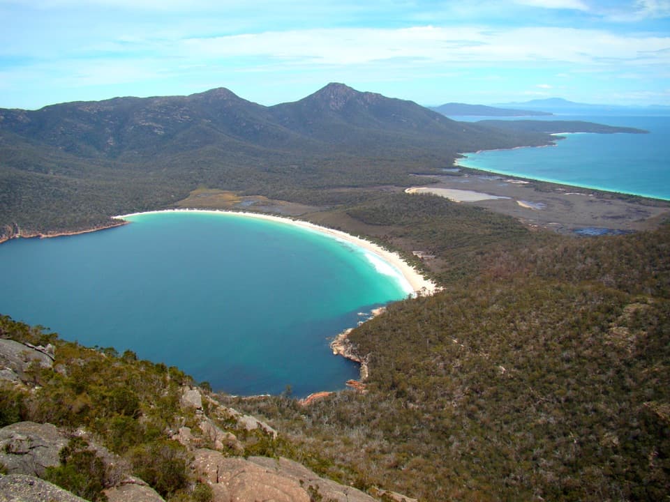 ChallengingMount Amos Track4 km · 3.5 hr · 5.1 km awayA steep granite scramble with a Wineglass Bay payoff.
 Sight · 0.1 km awayCape Tourville Lighthouse and LookoutA short boardwalk loop opens onto Wineglass Bay and the Hazards.
 Campground · 1.9 km awayWhite Water WallA shaded bush camp beside Freycinet’s granite climbing wall.
 Beach · 2 km awayBluestone BayRounded boulders bring a wilder edge to the shoreline.Beach · 2.3 km awaySleepy BayOrange lichen against turquoise water makes the steep little walk pay off.
 Beach · 2.5 km awayLittle Gravelly BeachA pocket cove of smooth granite pebbles beyond Sleepy Bay.
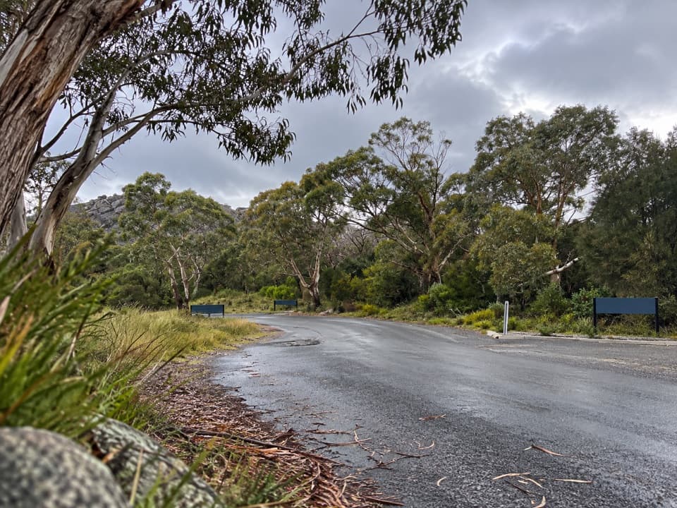 Picnic area · 3.6 km awayRanger Creek Day Use AreaA sheltered picnic stop with BBQs near the park entrance.
 Lodging · 3.6 km awayFreycinet LodgeStay inside the park, with three dining options on site.
 Visitor center · 3.6 km awayFreycinet National Park Visitor CentreA practical first stop for maps, pass help and walking ideas.
Parkwolf’s Freycinet ranking

The audio tour guide for the drive, plus offline maps, trails, and wildlife heatmaps for when the signal drops.

