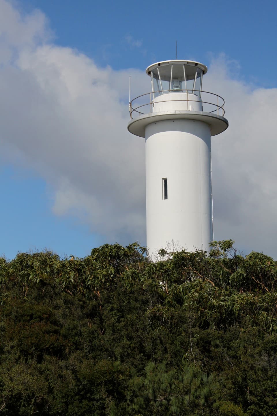
Parking
Start at Wineglass Bay Walking Tracks Car Park. Toilets are at the car park; no food or drinking water source was identified on the walk. A valid Tasmanian national parks pass is required for entry.

#1 of 21 trails in Freycinet
Freycinet National Park, TAS
The climb ends above Wineglass Bay’s famous white crescent.
Overview
Map & elevation
Plan your hike

The highest, rockiest slopes around here are a summer buffet for grizzly bears.
Freycinet Tour Guide
Parkwolf is a GPS audio tour guide for Freycinet National Park. As you drive, it chimes in with what’s ahead: hidden gems, upcoming stops, history, geology, and wildlife, right through your car’s speakers.
Recorded for this trailhead
Wineglass Bay Walking Tracks“You're approaching the Wineglass Bay Walking Tracks car park, where the hike to the famous crescent-beach view begins.”
Plays as you drive up to this trailhead in the Parkwolf Freycinet Tour Guide.
More stories near here in the app
“Fantastic app with many points of information… It’s great to just turn on while you’re driving and it gives you an audio tour of the national Park. We love it!!!!”


Trail guide
Wineglass Bay Lookout Track is a 2.9 km return walk from the Wineglass Bay Walking Tracks Car Park to the saddle lookout above the bay. Allow 60 to 90 minutes. This is the walk for the famous white curve of beach and deep blue water without taking on the much longer beach circuit. The distance sounds easy; the steady climb makes it a proper hill walk, and the steps take more effort than the map suggests.
The route leaves the car park through coastal woodland, then gains height past granite boulders on a well-constructed track. The uphill comes in sustained, steep stretches with many steps; rest seats along the ascent let you break it into smaller pushes. The broad shape of the climb is easy to follow, but watch your footing on the uneven stair sections. Take the climb at a pace you can keep rather than racing for the view.
The ascent and descent use separate paths on much of the hill. They meet at the upper saddle, where the final track reaches the lookout and is retraced on the way down. Follow the return line back toward the car park rather than continuing past the lookout if you only want this shorter walk. There is no need to add the beach route to complete the lookout experience.
The lookout sits in a pass through the granite Hazards. From the platform, the pale crescent of Wineglass Bay arcs below forested slopes and blue water, with the rocky ridges framing the far side. Give yourself time to look across the whole curve, not just straight down at the beach. For a photo, keep some of the ridge and foreground in the frame; the sweep of the bay is what gives the view its scale.
This route ends at the lookout. A separate, much longer circuit continues down to Wineglass Bay beach and returns around Hazards Beach; it is about 11 km, not an extension of the short lookout return. If the beach is your goal, plan for that full circuit and its extra time. Low cloud can cover the bay, so the climb may deliver woodland and granite without the signature view.
Begin at the Wineglass Bay Walking Tracks Car Park, where toilets are available. No food or drinking water source was identified on the trail, so bring what you need before leaving the car park. A valid Tasmanian national parks pass is required for entry. Ordinary pets are not allowed in Tasmania's national parks; assistance dogs are permitted. The grade is moderate, but anyone who struggles with sustained stairs should allow rests and turn back if the climb stops feeling comfortable.
Wildlife
 27 sightingsWombatMost seen around 7 PMSighting map
 36 sightingsEchidnaMost seen around 6 PMSighting map
 361 sightingsRed-necked WallabyMost seen around 6 PMSighting map
 17 sightingsPademelonMost seen around 7 PMSighting map
 28 sightingsWhite-bellied Sea-EagleMost seen around 5 PMSighting map
 54 sightingsKookaburraMost seen around 7 AMSighting map
Sighting maps show where each species has been reported across Freycinet. Wildlife moves, so no sighting is guaranteed.
Keep exploring
 ModerateWineglass Bay Track5.4 km · 2.5 hr · At the trailheadSteep stone steps cross the saddle to a pale crescent of sand.
 ModerateCooks Beach Track via Hazards Beach27.7 km · 9 hr · At the trailheadA remote beach you earn through sand, scrub and granite.
 ModerateHazards Beach Track11.4 km · 4.5 hr · At the trailheadA coastal track to the north end of Hazards Beach.
 ModerateIsthmus Track to Hazards Beach10.1 km · 4 hr · At the trailheadTwo bays and a steep staircase make a proper half-day walk.
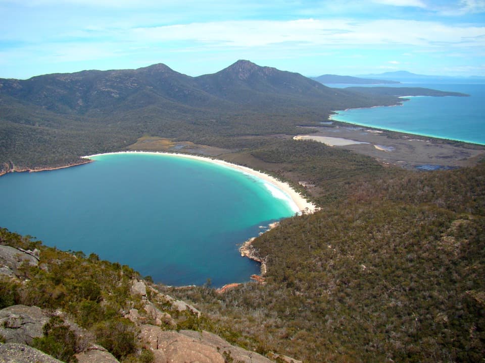 ChallengingMount Amos Track4 km · 3.5 hr · At the trailheadA steep granite scramble with a Wineglass Bay payoff.ChallengingFreycinet Peninsula Circuit28.2 km · 12 hr · At the trailheadA multi-day coastal loop with an inland climb.
 ChallengingMount Graham Summit20.4 km · 9 hr · At the trailheadA long climb from the bay earns views north and south.ChallengingWineglass Bay and Hazards Beach Circuit11.4 km · 4.5 hr · At the trailheadA high bay lookout, two beaches, and a rugged loop in between.
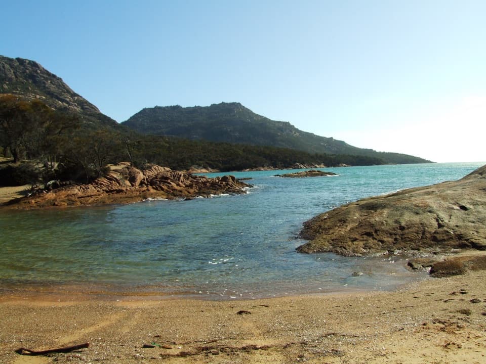 Beach · 1 km awayHoneymoon BayA small cove for quick swims and sunset on the granite rocks.
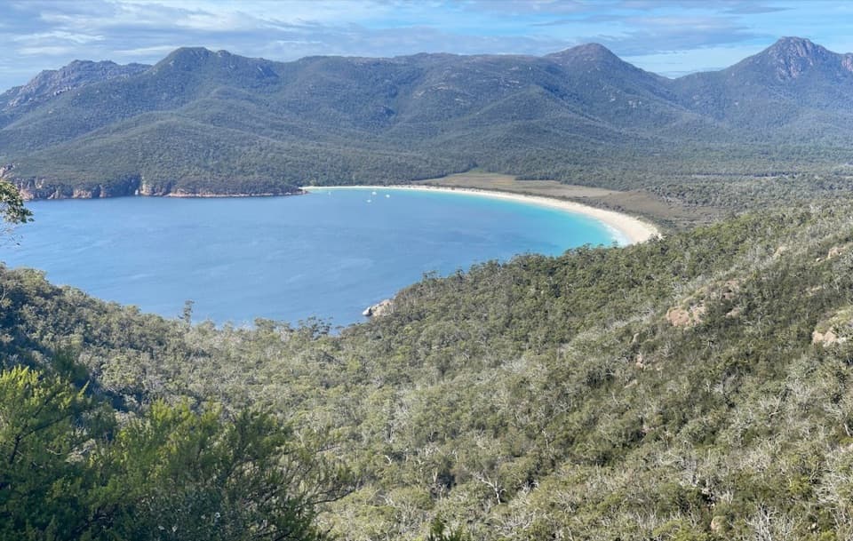 Sight · 1.1 km awayWineglass Bay LookoutThe climb earns you the full curve of Wineglass Bay.
 Campground · 1.1 km awayHoneymoon Bay CampgroundA tent camp on a granite knoll above the bay.
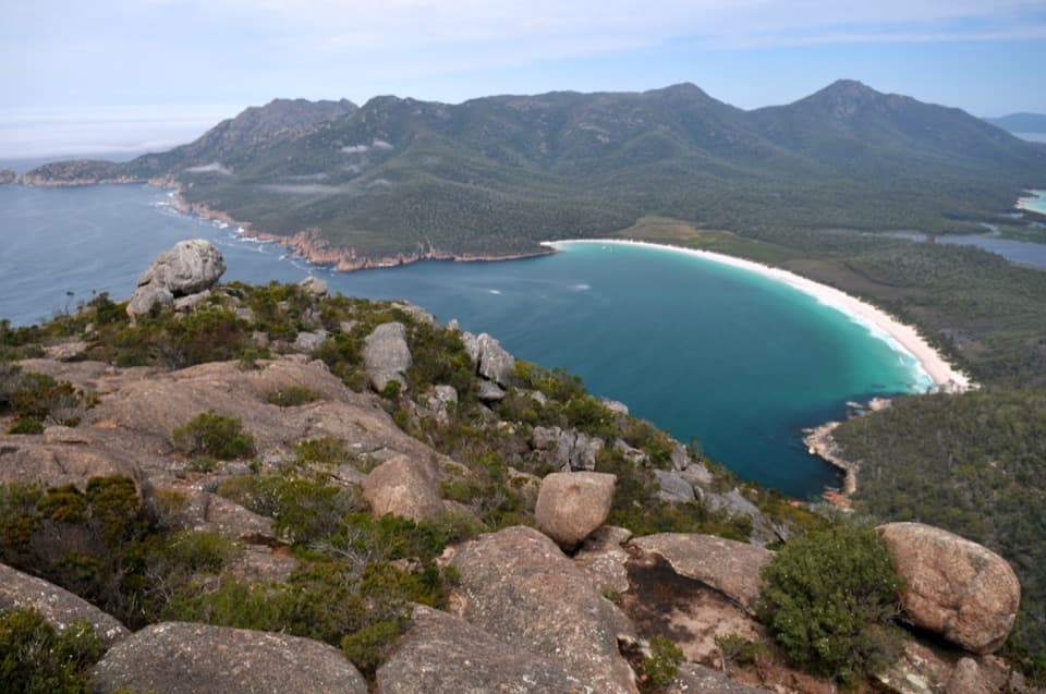 Sight · 1.2 km awayMount AmosA steep granite scramble to a high Wineglass Bay panorama.
 Lodging · 1.6 km awayFreycinet LodgeStay inside the park, with three dining options on site.
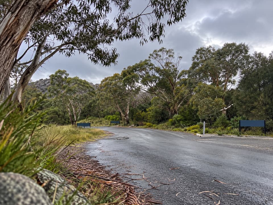 Picnic area · 2.3 km awayRanger Creek Day Use AreaA sheltered picnic stop with BBQs near the park entrance.
 Beach · 2.3 km awayRichardsons BeachEasy beach days with the Hazards rising across the bay.
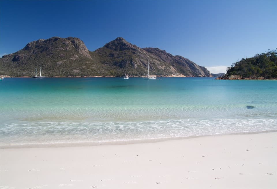 Beach · 2.4 km awayWineglass BayA white-sand crescent below the Hazards, earned on foot.
Parkwolf’s Freycinet ranking

The audio tour guide for the drive, plus offline maps, trails, and wildlife heatmaps for when the signal drops.