
Place · 1.7 mi away
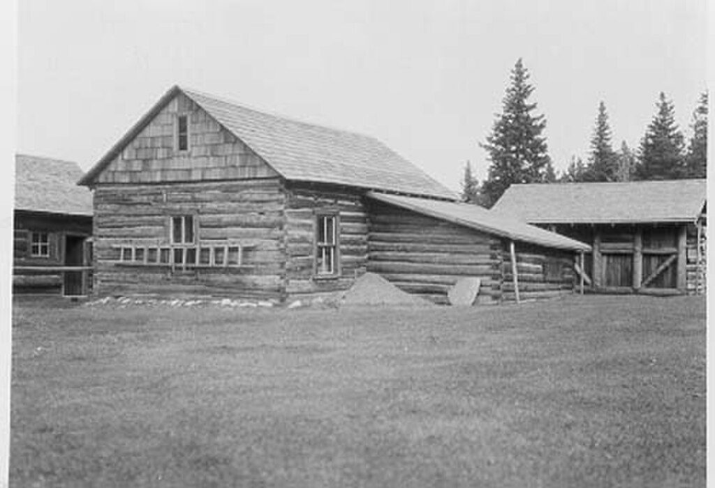
Tucked into the far northeast corner of the park near the international border, Belly River Ranger Station is a true backcountry post—there’s no road in, and that’s the charm. The district dates back to 1912, with the current ranger residence built in 1925–26 and the original 1912 cabin now serving as the barn. Expect a mellow meadow setting with big mountain backdrops and a ranger presence that feels straight out of Glacier’s early days.
You reach the station by trail, most commonly via the Belly River corridor from the Chief Mountain area. The approach is several miles on a well-used path, with a stout climb on the way back out. Landmarks include a footbridge near the station meadow. Other routes (like over Lee Ridge) drop steeply toward the station and offer sweeping views, but that descent is notably steep.
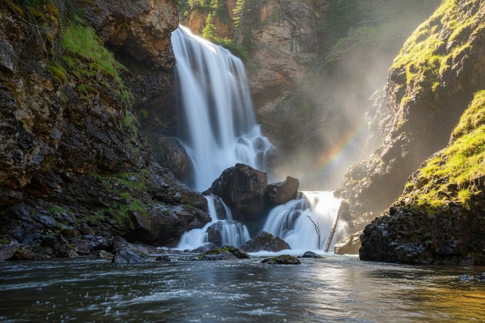
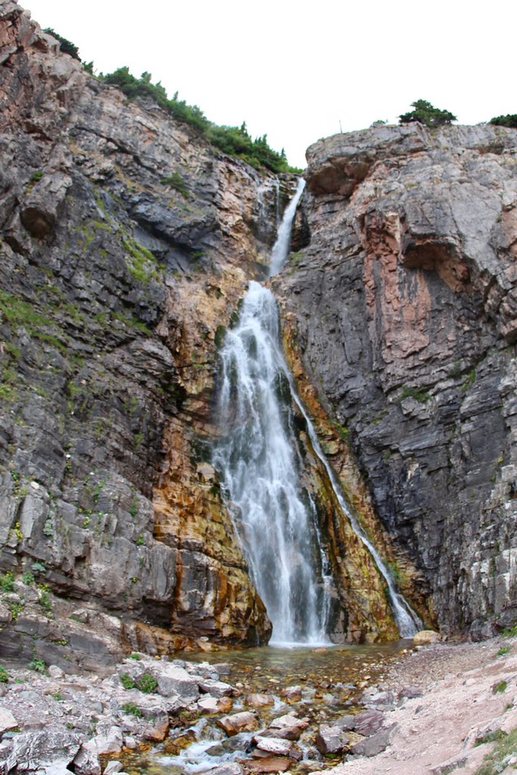
The Belly River valley mixes forest, broad meadows, lakes, and waterfalls, with skyline views of peaks like Gable and Chief. It’s quieter than the park’s famous roadside hubs, which makes encounters with moose, mountain goats, and grizzly bears more likely. Cougars have even been spotted near the station—give all wildlife ample space and keep your head on a swivel.
This corridor often opens earlier than Glacier’s higher basins, which can mean fewer people in late June. Early season also brings mud, horse ruts, and voracious mosquitoes—many hikers swear by a head net. Cell service is unreliable to nonexistent; download maps and be self-sufficient. Snow can linger at higher passes even mid-summer.
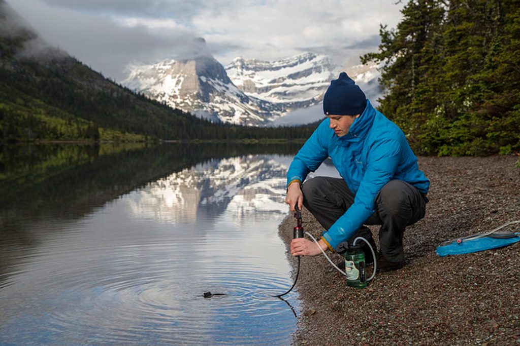
Think of this as a patrol hub, not a visitor center. There are no public services here—no power grid, flush restrooms, or potable taps. Rangers may check backcountry permits for nearby camps; if you’re backpacking, have your permit visible on your pack. Designated backcountry campgrounds in the area provide basic pit toilets and natural water sources (treat or filter before drinking).
Many hikers pass the station en route to Elizabeth Lake, the Ptarmigan Tunnel, or the lakes strung up-valley toward Stoney Indian Pass. Anglers and backpackers praise the chain of lakes (Glenns, Cosley, Mokowanis) in good weather—always check current regulations.
Late June through September is the sweet spot. Early summer brings lush meadows (and bugs), while mid to late summer offers drier tread and longer days. Start early to enjoy calm wildlife hours and softer light in the valley; afternoons can be warm and buggy, and your exit climb is kinder in the morning.
Place · 1.7 mi away
Place · 2.6 mi away
Place · 3.3 mi away
Place · 4.6 mi away
Challenging · 8.3 mi away
Challenging · 8.3 mi away
Challenging · 9.5 mi away
Moderate · 9.5 mi away

Parkwolf Tour Guide
